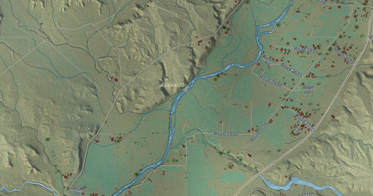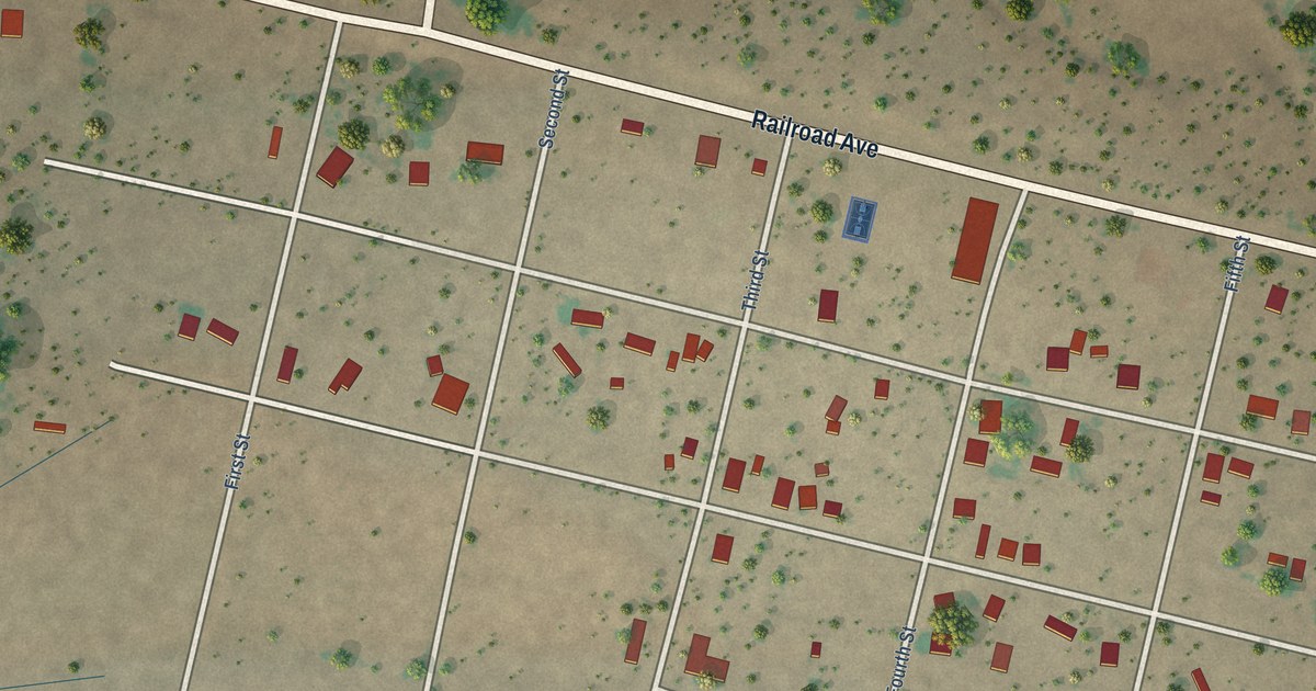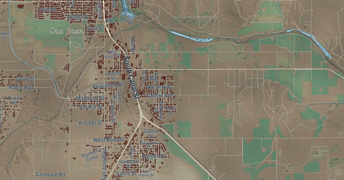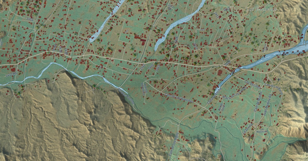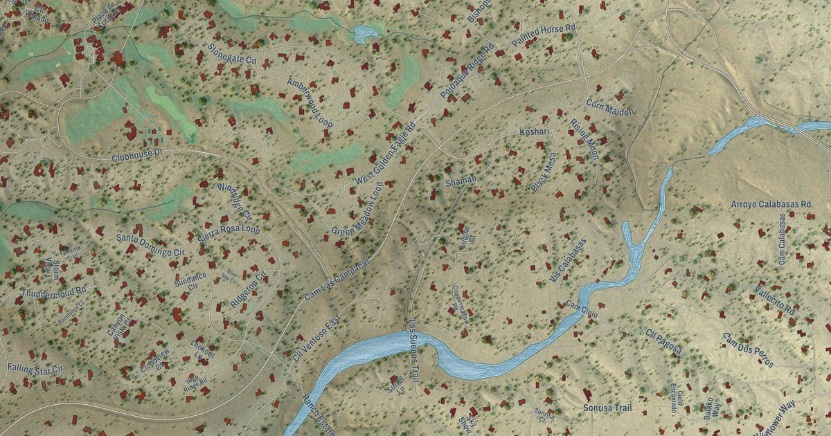
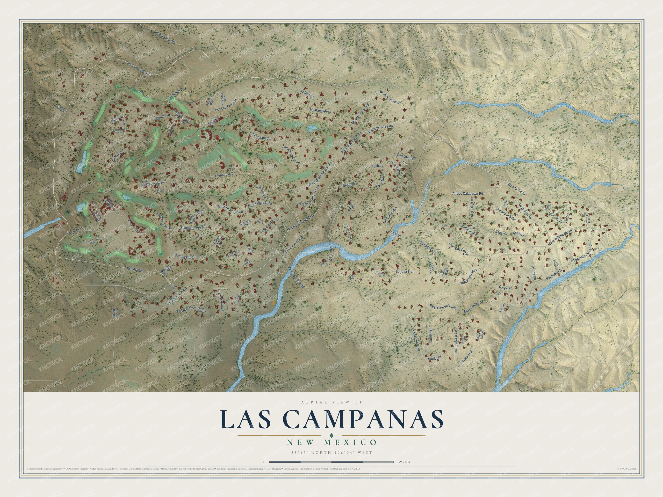
This beautifully detailed map of Las Campanas, New Mexico was created in 2026 using aerial imagery combined with modern topographical, census, street and landmark data. It's a modern aerial view of Las Campanas in Santa Fe County, New Mexico, that combines modern data with a vintage aesthetic. The roads feature printed names, and if you look closely you can find your exact house accurately shown in its correct location.
Explore an aerial view of Las Campanas, New Mexico
On this map you'll find Cam la Tierra, Las Campanas Drive, Cam Las Campanas, Koshari, West Wildflower Drive, Wildhorse, Vallecito Road, Pso Aragon, Wildflower Way, Pojoaque Ridge Road, Thundercloud Road, Sierra Rosa Loop, and more. Each red shape is a building, so zoom in on the preview and look for yours.
Las Campanas is a community in Santa Fe County. The Census Bureau counted 1,460 people here in 2020. Las Campanas sits about 3 miles southwest of La Tierra, 3 miles north of Tres Arroyos and 4 miles northwest of Agua Fria. The map prints the town name in its title panel, with the coordinates below it.
Take a closer look at the Las Campanas map
Names on this map
These names are printed on this map.
Streets and roads: Cam la Tierra, Las Campanas Drive, Cam Las Campanas, Koshari, West Wildflower Drive, Wildhorse, Vallecito Road, Pso Aragon, Wildflower Way, Pojoaque Ridge Road, Thundercloud Road, Sierra Rosa Loop.
More street names, A to Z
Abierto Way, Amberwood Loop, Arriba Circle, Arroyo Calabasas Road, Avenue Herrera, Bishops Dome Road, Black Mesa, Blue Jay Drive, Blue Sky Circle, Caja del Rio Road, Cam Calabasas, Cam Cielo, Cam de Colores, Cam Dos Perros, Cam Maravilla, Canyon Vista Court, Chocolate Flower Circle, Cielo Encantado, Cll Chiripia, Cll Cimarron, Cll Gonzales, Cll Mi Gusto, Cll Ojitos, Cll Pagosa, Cll Venado, Cll Ventoso East, Cll Ventoso West, Cloudview Court, Clubhouse Drive, Coppermallow Road, Corn Maiden, Daisy Circle, Daisy Court, Dayflower Drive, Deer Circle, Deer Dancer, Deer Stalker, East Cam Cielo, Elk Circle, Ent Descanso, Ent Hermosa, Falling Star Circle, Foxtail Circle, Gold Poppy Circle, Green Meadow Loop, Greywolf, Grillo Loco, Hacienda del Canon, High Ridge Road, Indigo Court, La Serena Trail, Lavida Trail, Lookout Lane, Los Suenos Trail, Lupine Court, Luz del Dia, Mint Circle, Morning Breeze, Mustang Mesa, North Sparrow Lane, Old Buckman Road, Paintbrush Circle, Paintbrush Court, Painted Horse Road, Palomita Drive, Parsley Circle, Picacho Peak Drive, Plaza de Corazon, Plaza Ortega, Plaza Velasquez, Pso Las Terrazas, Raindance Court, Ranch Estates Road, Ridgetop Circle, Rising Moon, Salako Way, Saltillo Court, Santo Domingo Circle, Shaman, Sky Show, Sonrisa Court, Sonrisa Trail, Sorrel Lane, South Star Gazer, Stonegate Circle, Storm View Lane, Summer Storm Circle, Sundance Circle, Sunflower Drive, Tamarisk Trail, Tecolote Circle, Thunder Cloud Road, Trailhead Drive, Via Pampa, Vis Calabasas, West Cam del Cielo, West Golden Eagle Road, West Wildflower, Windridge Circle, Zacate Verde.
See it on a wall
The Las Campanas map as a framed print. Swipe for more.


Created by KNOWOL in 2026. The buildings are small red shapes, the roads carry their printed names, and shaded relief shows the shape of the land. The title panel reads "AERIAL VIEW OF LAS CAMPANAS, NEW MEXICO" with 35°43' NORTH 106°04' WEST.
It looks right in a kitchen, an office or a den, and it's a gift for anyone who grew up in Las Campanas or moved away. Open the preview and find your street. See sizes and frames for the Las Campanas map.