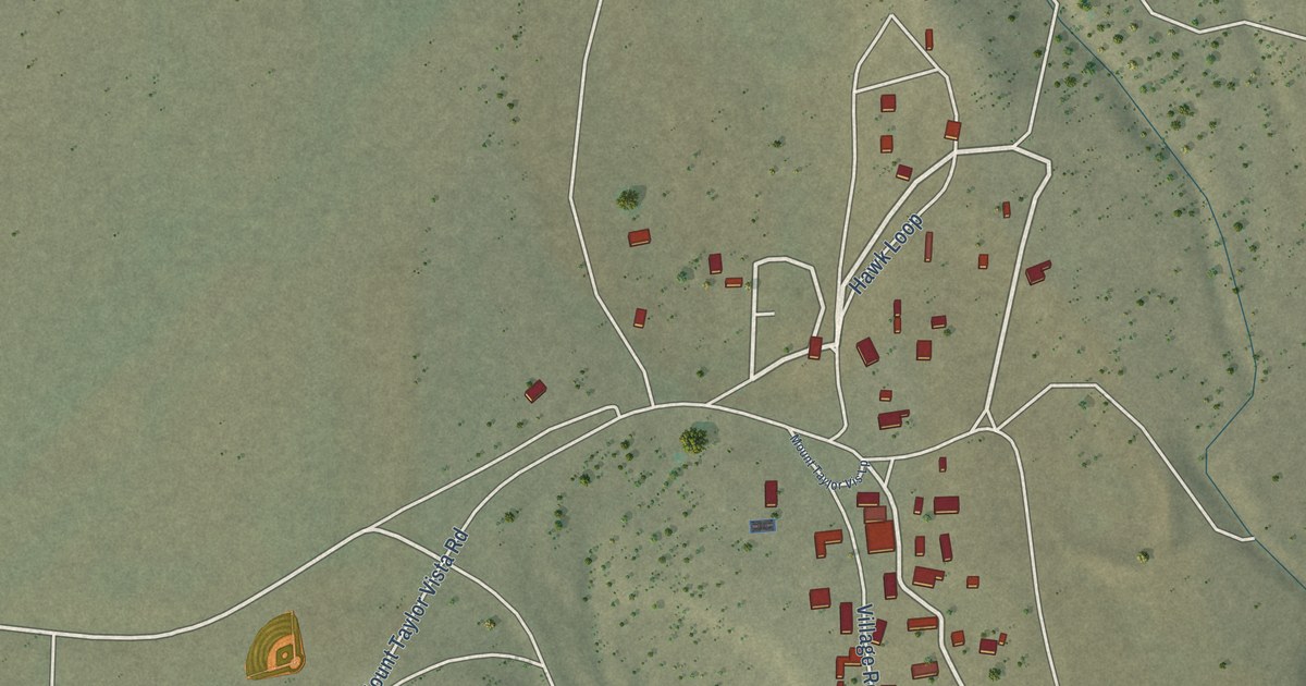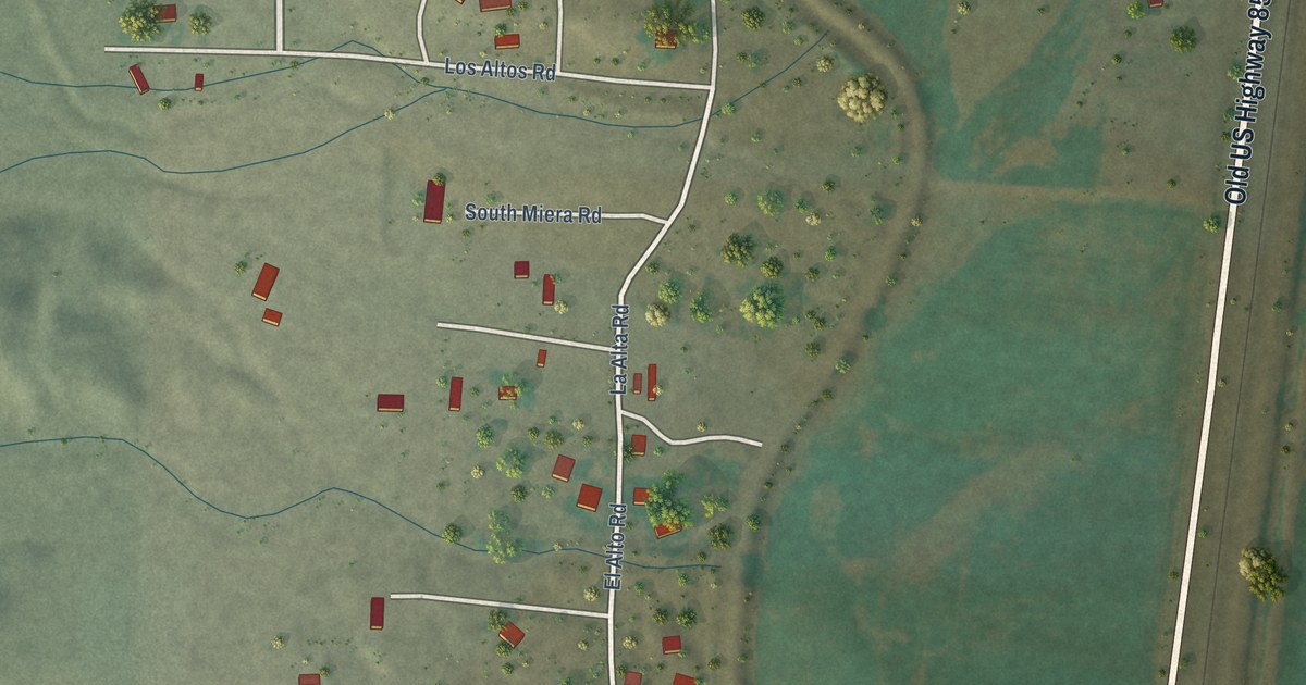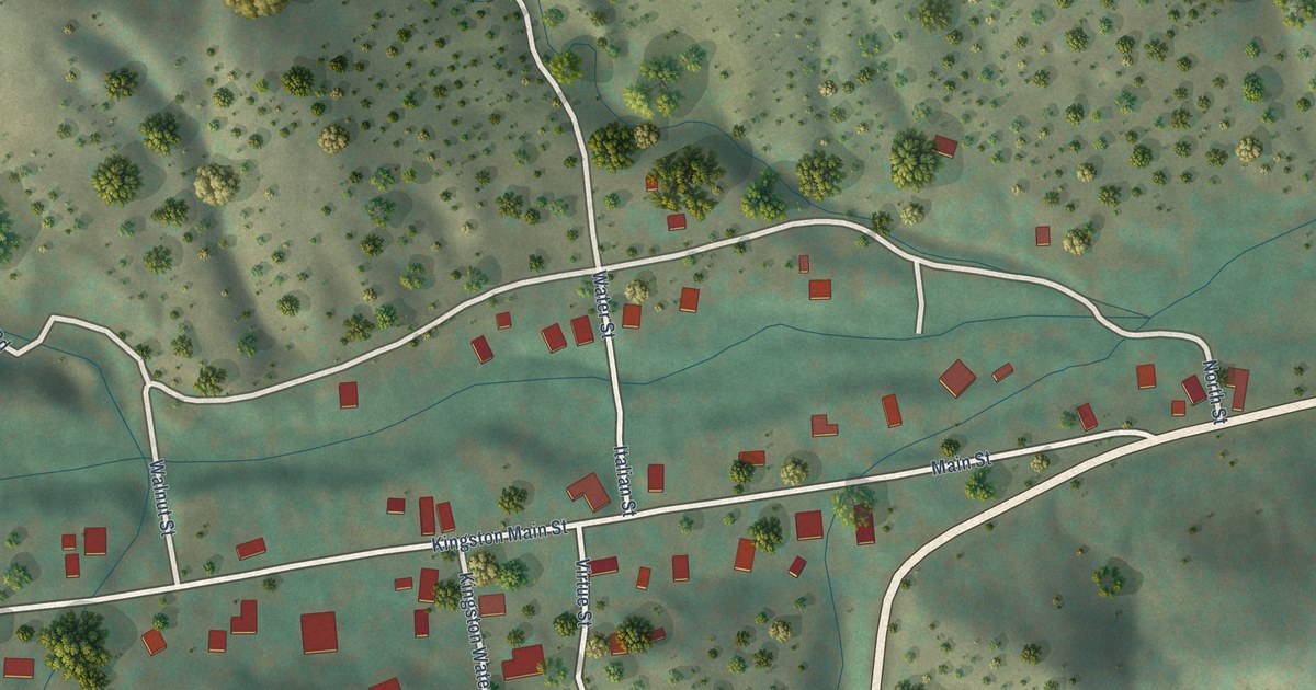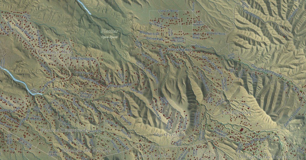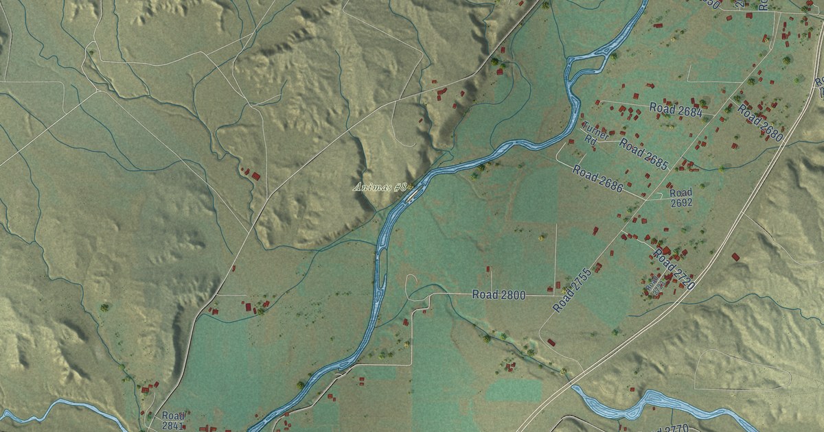
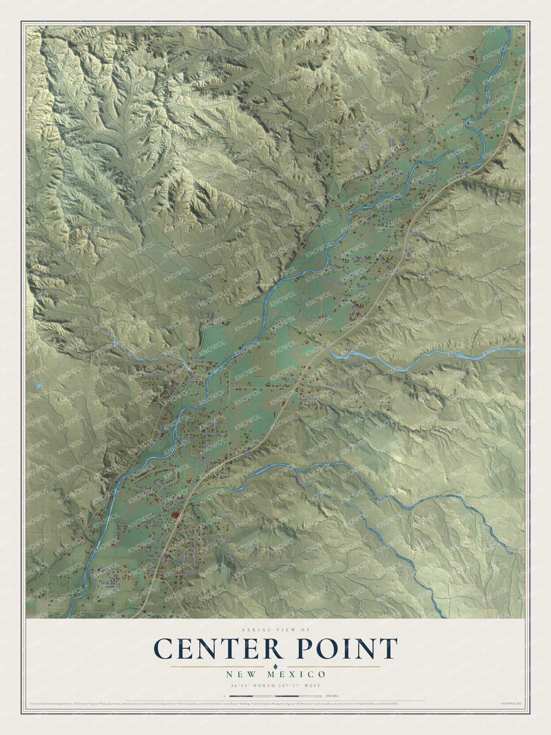
This beautifully detailed map of Center Point, New Mexico was created in 2026 using aerial imagery combined with modern topographical, census, street and landmark data. It's a modern aerial view of Center Point in San Juan County, New Mexico, that combines modern data with a vintage aesthetic. The roads feature printed names, and if you look closely you can find your exact house accurately shown in its correct location.
Explore an aerial view of Center Point, New Mexico
On this map you'll find Inca, Animas #8, Road 2050, Road 2631, Road 2900, Road 2800, Road 2755, Road 2929, Road 2950, Road 2785, Road 2634, Road 2896, and more. Each red shape is a building, so zoom in on the preview and look for yours.
Here is a piece of Center Point history. Center Point took its first name from the school there. When a post office was proposed, two names were sent in, Center Point and Rosing, after a resident. Postal officials chose Rosing, and that office ran from 1909 to 1919, but the name Center Point outlasted it in local use. That's from the University of New Mexico Press.
Center Point is a community in San Juan County. The Census Bureau counted 2,435 people here in 2020.
Take a closer look at the Center Point map
Names on this map
These names are printed on this map.
Places: Inca and Animas #8.
Streets and roads: Road 2050, Road 2631, Road 2900, Road 2800, Road 2755, Road 2929, Road 2950, Road 2785, Road 2634, Road 2896, Road 2635, Road 2999.
More street names, A to Z
Cantrell Road, McCoy Avenue, Ncm 2633, Road 2617, Road 2620, Road 2621, Road 2625, Road 2629, Road 2633, Road 2641, Road 2645, Road 2650, Road 2651, Road 2655, Road 2680, Road 2684, Road 2685, Road 2686, Road 2692, Road 2720, Road 2723, Road 2770, Road 2795, Road 2799, Road 2841, Road 2842, Road 2845, Road 2853, Road 2885, Road 2891, Road 2892, Road 2893, Road 2894, Road 2895, Road 2899, Road 2924, Road 2926, Road 2928, Road 2930, Road 2935, Road 2945, Road 2951, Road 2952, Road 2953, Road 2954, Road 2957, Road 2960, Road 2965, Road 2970, Road 2974, Road 2976, Road 2978, Road 2980, Road 2982, Road 26290, Road 26340, Road 26341, Road 26342, Turner Road, Willow Lane.
See it on a wall
The Center Point map as a framed print. Swipe for more.


Created by KNOWOL in 2026. The buildings are small red shapes, the roads carry their printed names, and shaded relief shows the shape of the land. The title panel reads "AERIAL VIEW OF CENTER POINT, NEW MEXICO" with 36°53' NORTH 107°57' WEST.
It suits a den, a classroom or a front hall, and it makes a gift for anyone with Center Point roots. Open the preview and find the block you know. See sizes and frames for the Center Point map.