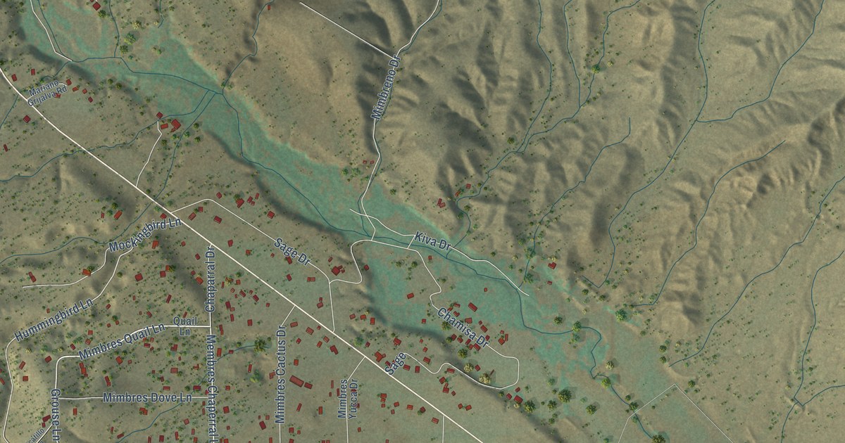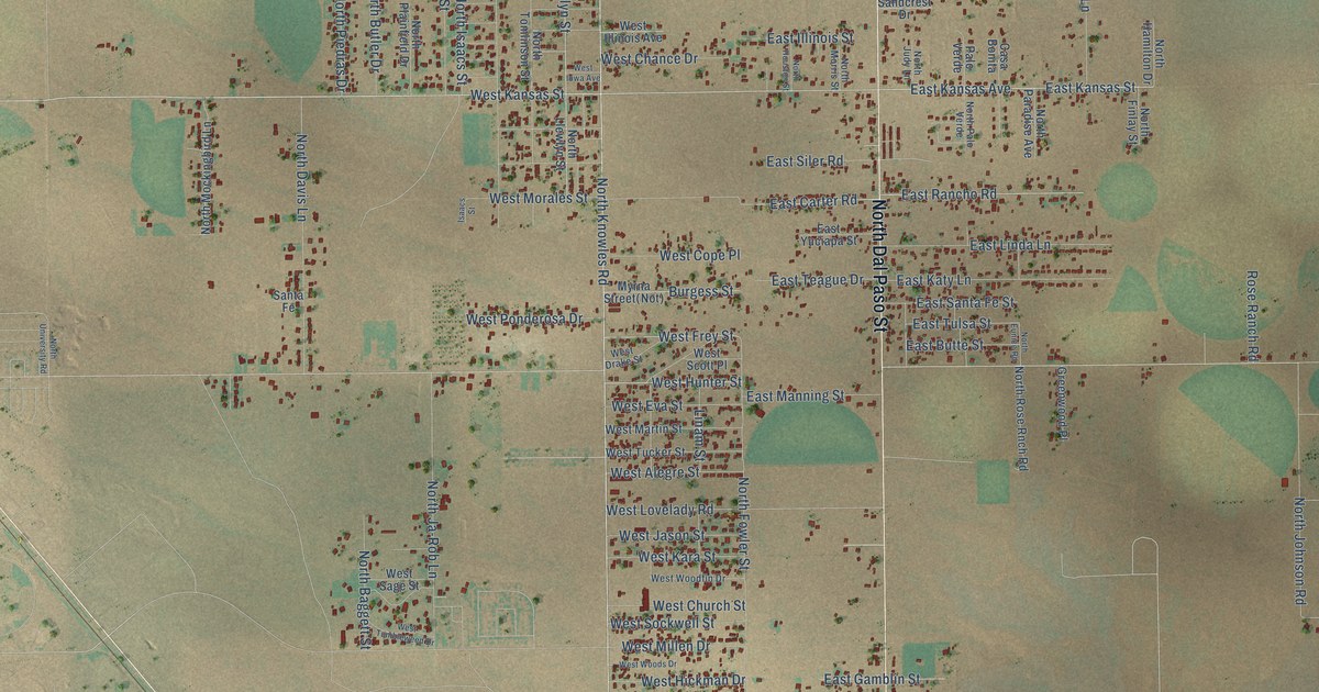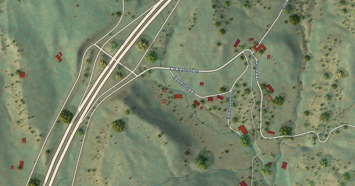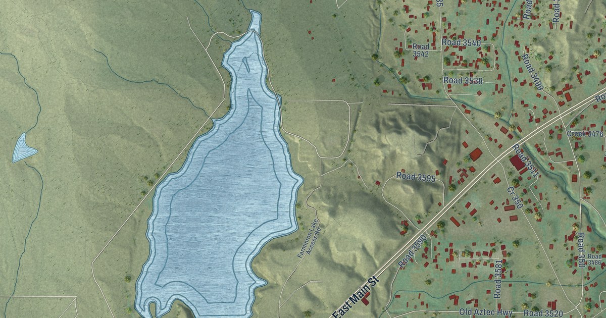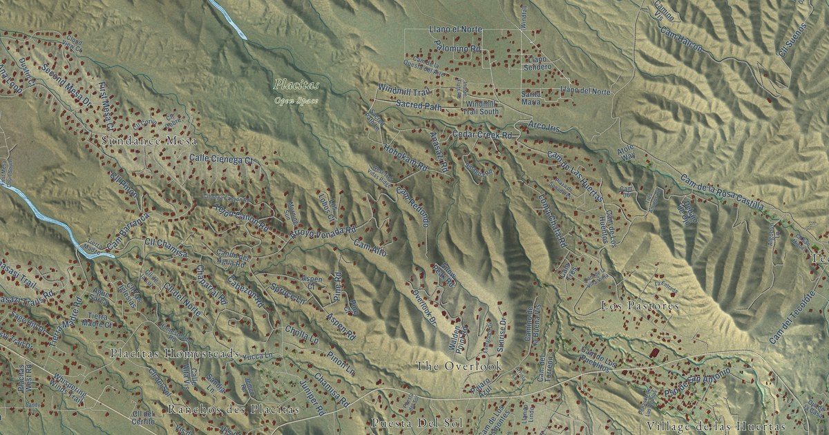
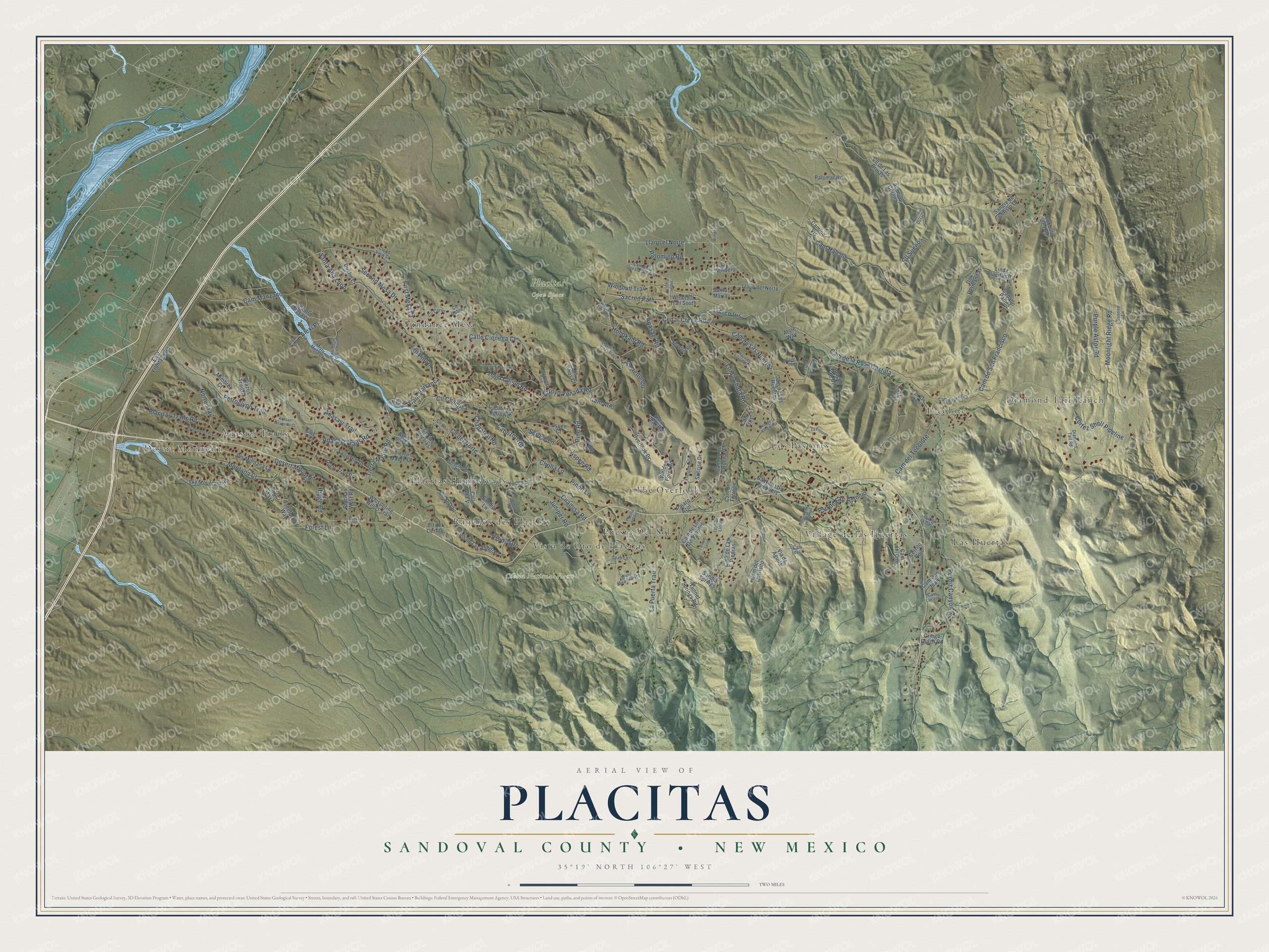
This beautifully detailed map of Placitas, New Mexico was created in 2026 using aerial imagery combined with modern topographical, census, street and landmark data. It's a modern aerial view of Placitas in Sandoval County, New Mexico, that combines modern data with a vintage aesthetic. The roads feature printed names, and if you look closely you can find your exact house accurately shown in its correct location.
Explore an aerial view of Placitas, New Mexico
On this map you'll find Desert Mountain, Cibola National Forest, Placitas Open Space, Diamond Tail Ranch, Las Huertas, The Overlook, Sundance Mesa, Tecolote, Los Pastores, Ranchos des Placitas, Placitas Homesteads, Anasazi Trails, and more. Each red shape is a building, so zoom in on the preview and look for yours.
Placitas has a story worth telling. Spanish settlers were living in the Placitas area by 1767, when Governor Pedro Fermín set up the land grant known as San Antonio de las Huertas. The area took the name Las Placitas from its many local villages, and descendants of the first stockmen and farmers on the grant still live nearby. That's from the New Mexico Historic Preservation Division.
Placitas is a community in Sandoval County. The Census Bureau counted 5,041 people here in 2020.
Take a closer look at the Placitas map
Names on this map
These names are printed on this map.
Places: Desert Mountain, Cibola National Forest, Placitas Open Space, Diamond Tail Ranch, Las Huertas, The Overlook, Sundance Mesa, Tecolote, Los Pastores, Ranchos des Placitas, Placitas Homesteads, Anasazi Trails, Puesta Del Sol, Village de las Huertas and Vista de Oro de Placitas.
Streets and roads: Palomino Road, Cam de Las Huertas, Llano el Norte, Windmill Trail, Anasazi Trails Road, Cedar Creek Road, Cholla Lane, Sacred Path, Hohokam Road, Cll Chamisa, Anasazi Road, Montana Court.
More street names, A to Z
Ague Sarca, Alexi Court, Alexi Place, Algobun Lane, Anasasi Trail, Anasazi Meadows Court, Arco Iris, Arriola Lane, Arroyo Venada Road, Aspen Court, Aspen Road, Atole Way, Avendia Oaxaca, Avenue Corona, Brazos Trail Court, Caballo Palido, Cabezon Road, Calle Alta Vis, Calle Cienega Court, Cam 06, Cam Alto, Cam Barranca, Cam del, Cam de la Questa del Aire, Cam de la Rosa Castilla, Cam de Las Piedras, Cam de la Vina Vieja, Cam del Carrisito, Cam de Los Desmontes, Cam de Los Huentos, Cam del Oso, Cam de Los Pueblitos, Cam del Tecolote, Cam del Torreon, Cam de San Francisco, Cam Don Juan, Cam Esperanza, Cam Halcon, Camino de la Buena Vis, Camino Vis, Cam Lucero, Cam Manzano, Cam Redondo, Cam Tres, Canon del Agua Road, Cerrito Rojo, Chamisa Road, Chaparral Road, Cienega Canyon Road, Cll Cobre, Cll Corvo, Cll de la Luz, Cll de Las Brujas, Cll del Cerrito, Cll del Norte, Cll del Sol, Cll de Maya, Cll Las Iglesias, Cll Pinon, Cll San Miguel, Cll Suenos, Cloud View Court, Cortez Shell Pipeline, Cuchillo de Oro, Davis Loop, Debajo de Ojo, Desert Mount Road, Diamond Tail Road, Dos Hermanitas, Dustin Court, Dusty Trail Drive, East Frontage Road, Evergreen Drive, First Mesa Court, First Mesa Court South, Forest Lane, Freeform Way, Gringo Gulch Road, Homesteads Road, Indian Flats Road, Jemez Road, Juniper Road, La Entrada, La Puerta Trail, Leah Lane, Linda Placitas Road, Llanito Lindo, Llano del Norte, Llano Sendero, Loma Chata Road, Los Lobos Court, Mimbres Court, Misty Mesa Court, Moonlight Ridge Road, Morning Sun, Norte Trail, Ojo de la Casa, Overlook Drive, Pajaro Azul, Palomar Road, Penasco de Las Aguilas, Perdiz Canyon Road, Petroglyph Trail, Pine Court, Pine Road, Pinon Lane, Placitas Trails Road, Placitas West Road, Plaza de Sonadores, Pso de San Antonio, Purple Astor Road, Quail Meadow Road, Ridge Road, Roadrunner Trail, Sacred Path Lane, Sage Hill Drive, Sandia Lane, Sandia Springs, Sandy Lane, Sangre de Christo Drive, Santa Ana Loop, Sarita Maria, Second Mesa Court, Second Mesa Drive, Sinagua Road, Sky Mountain Road, Snow Peak Road, Spruce Lane, Sunrise Drive, Sunrise Lane, Tejon Canon Road, Tierra Madre Court, Tierra Madre Road, Tierra Madze, Tiwa Trail, Tres Amigos Road, Tunnel Springs Road, Via de Aguila, Vis de Las Sandias, Vis de Oro, Vis Montana Lp, Walden Point Road, West Tres Vidas Ridge, Whispering Winds Trail, Windfall, Windmill Trail South, Yucca Lane.
See it on a wall
The Placitas, Sandoval County map as a framed print. Swipe for more.


Created by KNOWOL in 2026. The buildings are small red shapes, the roads carry their printed names, and shaded relief shows the shape of the land. The title panel reads "AERIAL VIEW OF PLACITAS, SANDOVAL COUNTY • NEW MEXICO" with 35°19' NORTH 106°27' WEST.
It looks right in a kitchen, an office or a den, and it's a gift for anyone who grew up in Placitas or moved away. Open the preview and find your street. See sizes and frames for the Placitas, Sandoval County map.