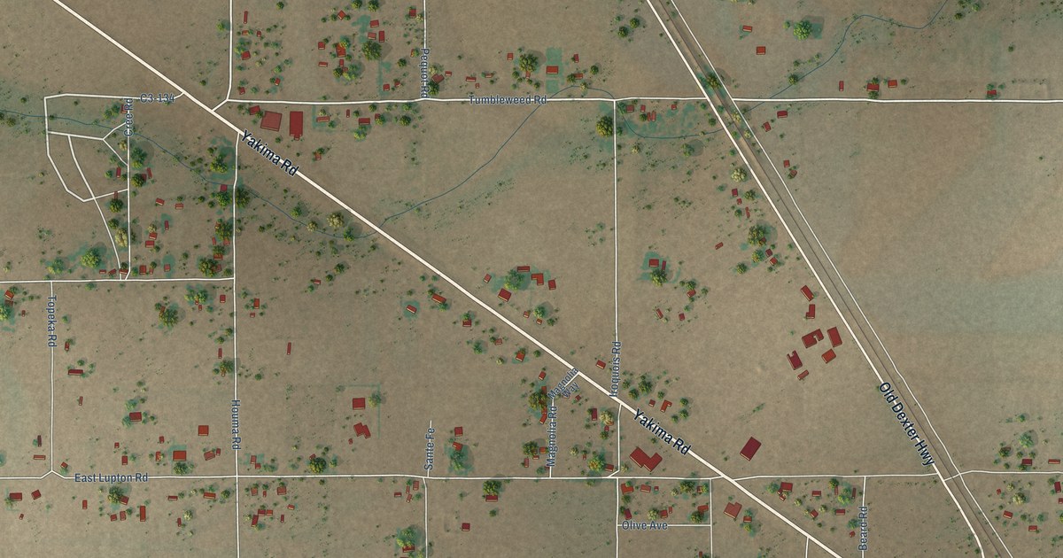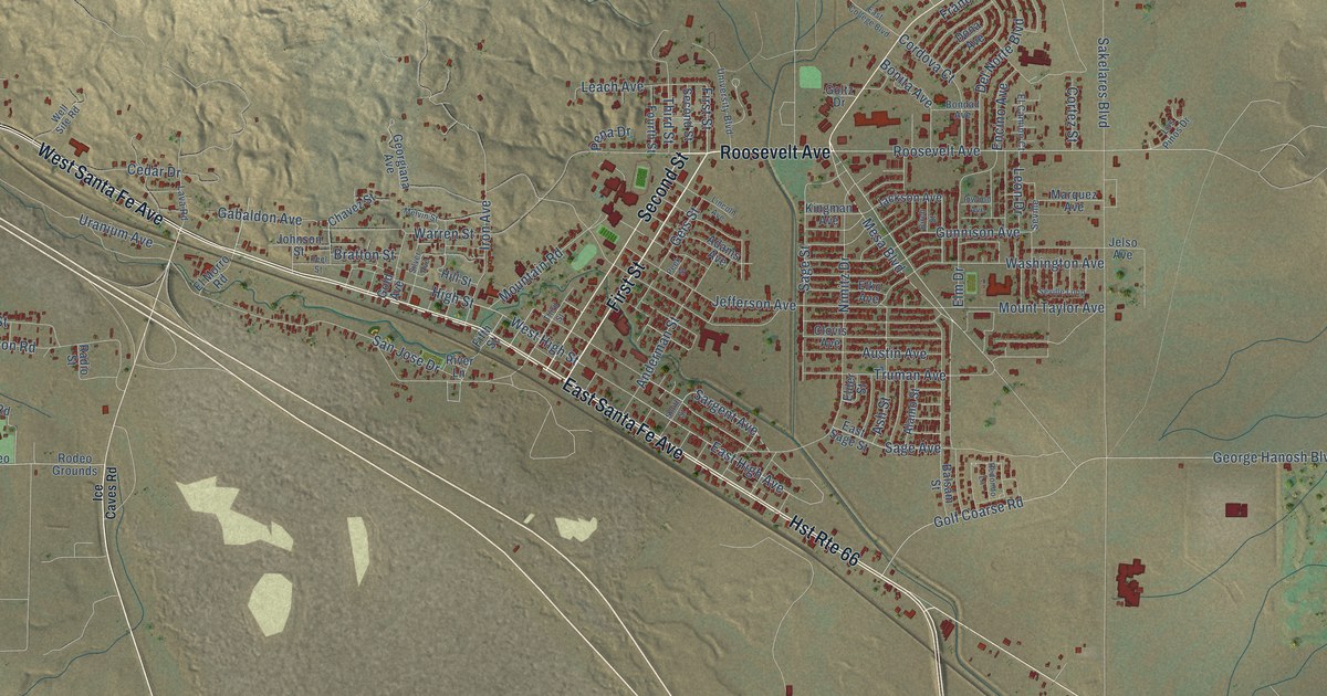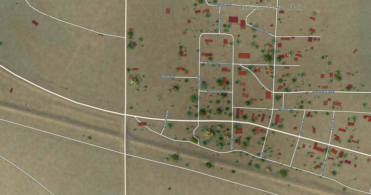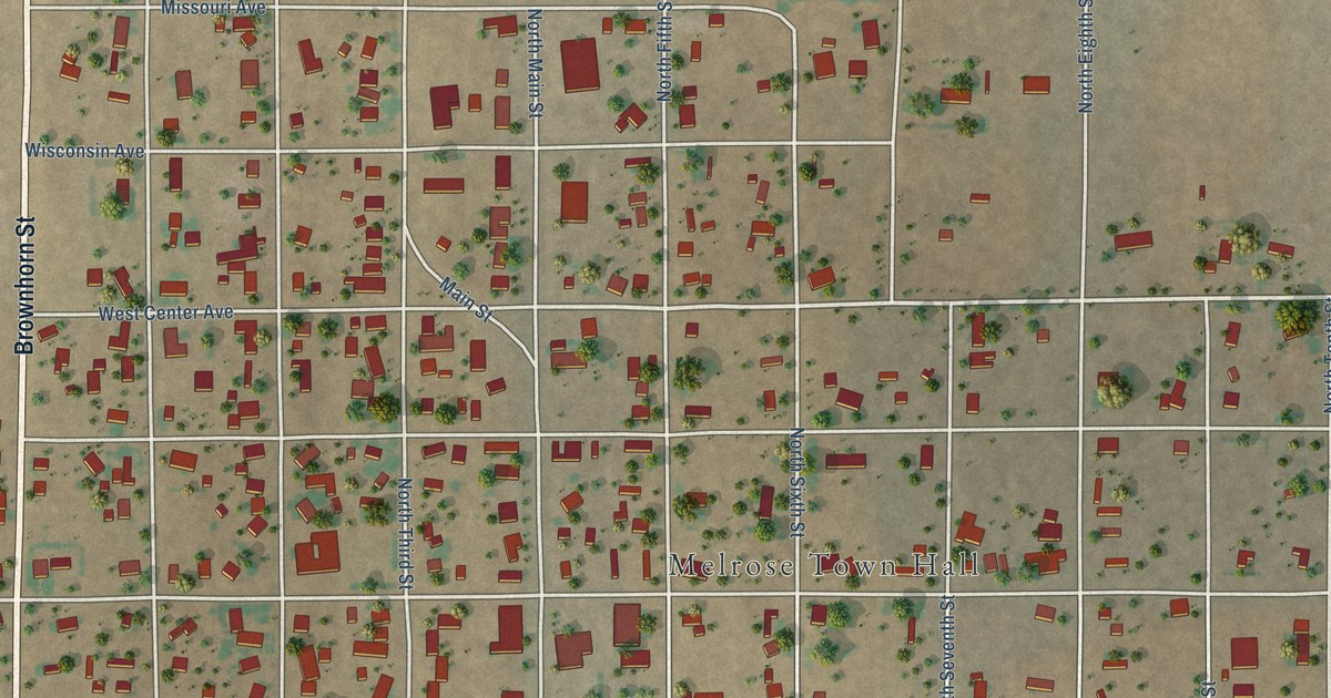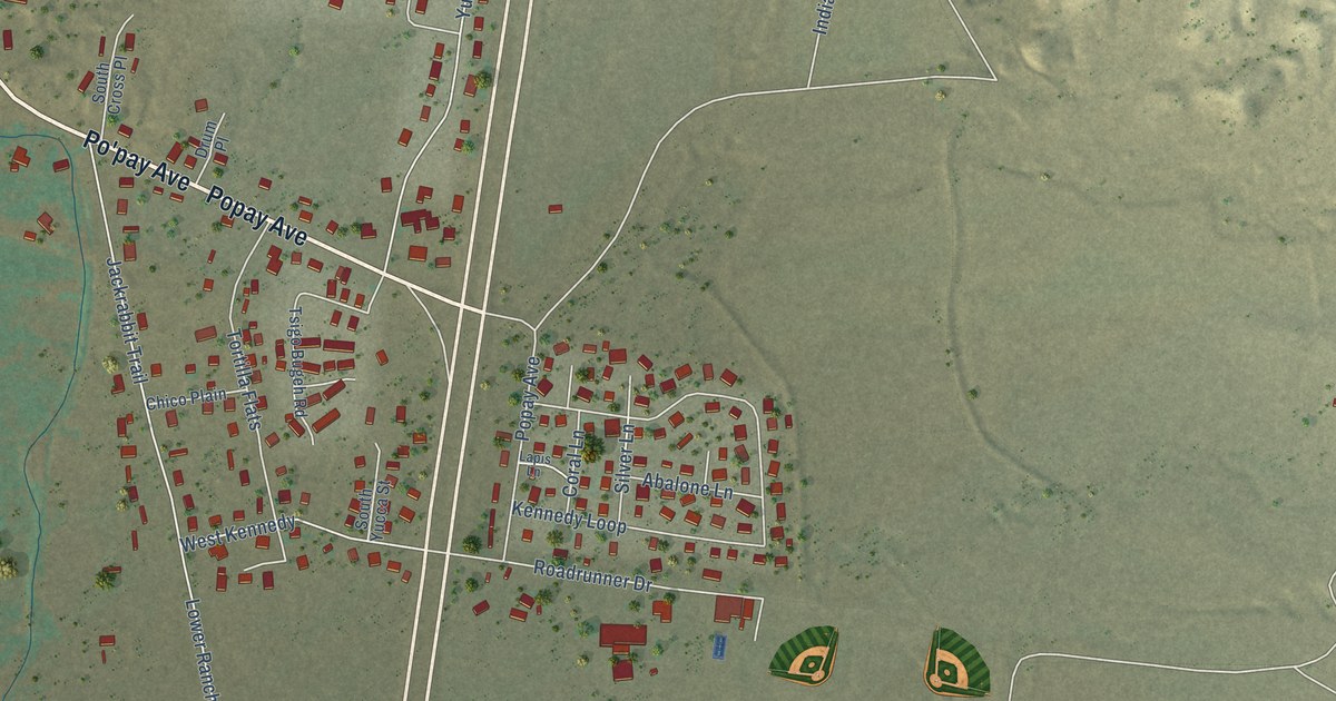
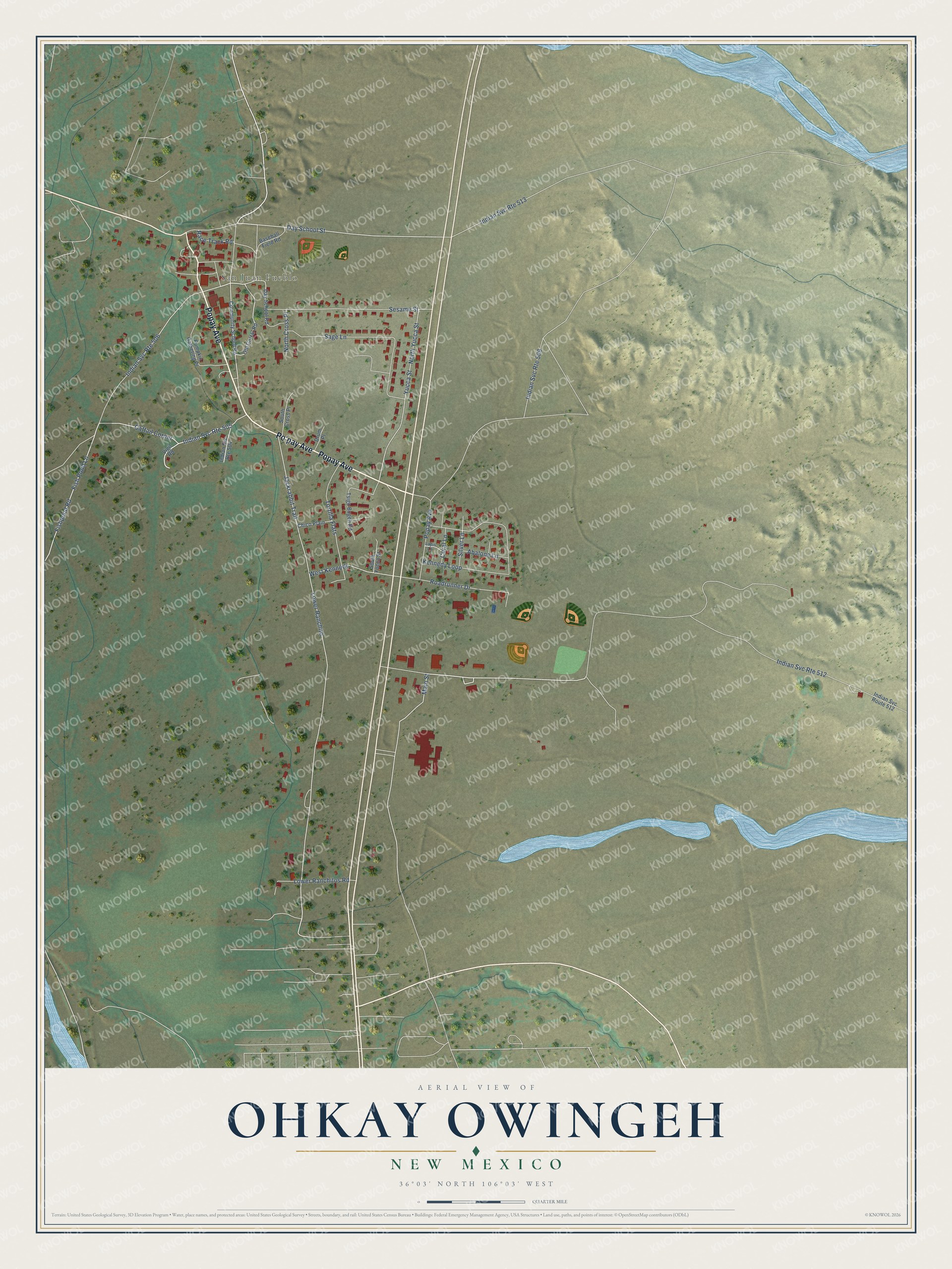
This beautifully detailed map of Ohkay Owingeh, New Mexico was created in 2026 using aerial imagery combined with modern topographical, census, street and landmark data. It's a modern aerial view of Ohkay Owingeh in Rio Arriba County, New Mexico, that combines modern data with a vintage aesthetic. The roads feature printed names, and if you look closely you can find your exact house accurately shown in its correct location.
Explore an aerial view of Ohkay Owingeh, New Mexico
On this map you'll find San Juan Pueblo, Popay Avenue, Po'pay Avenue, Day School Street, Cattail Corner, Main Street, Fish Pond Lane, Jackrabbit Trail, Lower Ranchito, Roadrunner Drive, Kennedy Loop, Fishpond Road, and more. Each red shape is a building, so zoom in on the preview and look for yours.
Ohkay Owingeh is a community in Rio Arriba County. The Census Bureau counted 1,464 people here in 2020. Ohkay Owingeh sits about 3 miles southeast of Pueblito, 3 miles south of Alcalde and 3 miles east of San Jose. The map prints the town name in its title panel, with the coordinates below it.
Take a closer look at the Ohkay Owingeh map
Names on this map
These names are printed on this map.
Places: San Juan Pueblo.
Streets and roads: Popay Avenue, Po'pay Avenue, Day School Street, Cattail Corner, Main Street, Fish Pond Lane, Indian Svc Route 505, Jackrabbit Trail, Indian Svc Route 513, Lower Ranchito, Indian Svc Route 509, Indian Svc Route 506.
More street names, A to Z
Abalone Lane, Baseball Field Road, Chico Plain, Community School Road, Coral Lane, Day School Road, Drum Place, Fishpond Road, Indian Svc Route 504, Indian Svc Route 512, Kennedy Loop, Lapis Lane, Lower Ranchitos Road, North Cross Place, North Yucca Street, Old Corral Road, Pumpkin Gathering Place, Race Track Road, Roadrunner Drive, Sage Lane, Sesame Street, Silver Lane, South Cross Place, South Yucca Street, Tortilla Flats, Tsigo Bugeh Road, Vigil Road, West Kennedy, Yucca Street.
See it on a wall
The Ohkay Owingeh map as a framed print. Swipe for more.


Created by KNOWOL in 2026. The buildings are small red shapes, the roads carry their printed names, and shaded relief shows the shape of the land. The title panel reads "AERIAL VIEW OF OHKAY OWINGEH, NEW MEXICO" with 36°03' NORTH 106°03' WEST.
Hang it in the hallway, the office or the cabin, or give it to someone who left Ohkay Owingeh and still calls it home. Open the preview and look for a street you know. See sizes and frames for the Ohkay Owingeh map.