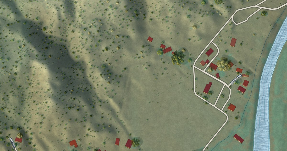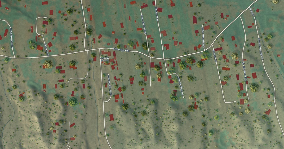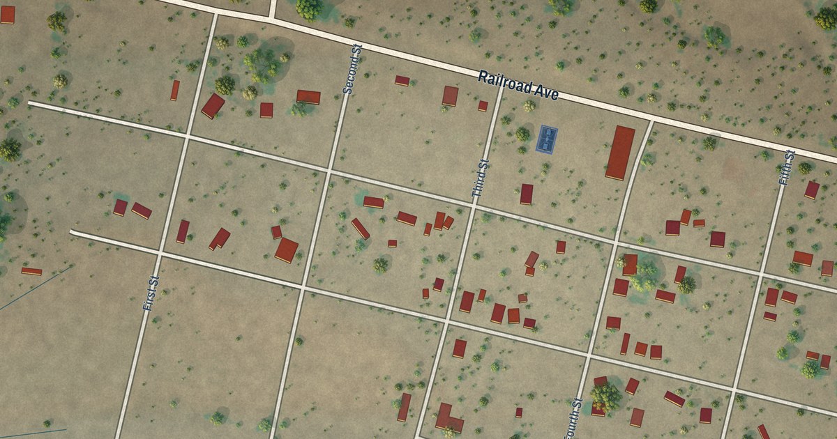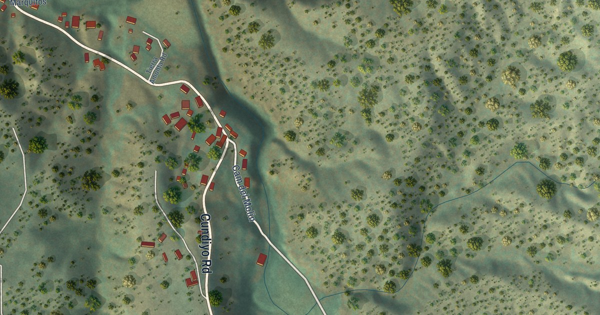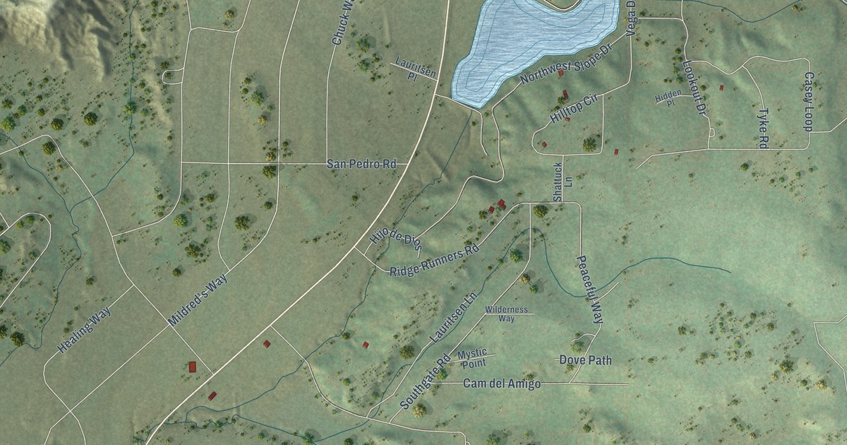
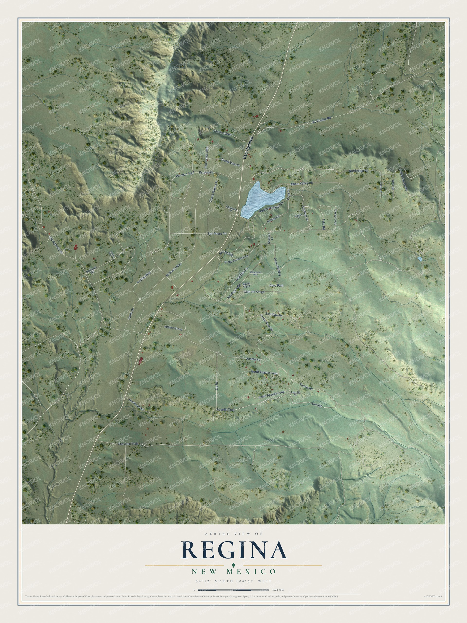
This beautifully detailed map of Regina, New Mexico was created in 2026 using aerial imagery combined with modern topographical, census, street and landmark data. It's a modern aerial view of Regina in Sandoval County, New Mexico, that combines modern data with a vintage aesthetic. The roads feature printed names, and if you look closely you can find your exact house accurately shown in its correct location.
Explore an aerial view of Regina, New Mexico
On this map you'll find Cam Cochrell, Jicarilla Trail, Zuni Road, Zia Road, Mildred's Way, San Jose Trail, Albers Valley Road, Northridge Road, Old Highway 95, Healing Way, Old Gallina Road, Bear Paw Road, and more. Each red shape is a building, so zoom in on the preview and look for yours.
Regina is a community in Sandoval County. The Census Bureau counted 73 people here in 2020. Regina sits about 6 miles north of La Jara, 7 miles southwest of Gallina and 10 miles southeast of Lindrith. The map prints the town name in its title panel, with the coordinates below it.
Take a closer look at the Regina map
Names on this map
These names are printed on this map.
Streets and roads: Cam Cochrell, Jicarilla Trail, Zuni Road, Zia Road, Mildred's Way, San Jose Trail, Albers Valley Road, Northridge Road, Old Highway 95, Healing Way, Old Gallina Road, Bear Paw Road.
More street names, A to Z
Acoma Road, Amy Lane, Arrow Head Drive, Badlands Road, Cam del Amigo, Casey Loop, Cattle Drive, Cerro San Pedro, Chuck Wagon Place, Dove Path, Groffman Road, Hidden Place, Hijo de Dios, Hilltop Circle, Jicarilla Court, Jokers Grove, Lauritsen Lane, Lauritsen Place, Lisa Lane, Lookout Drive, Mystic Point, North Apache Loop, Northwest Slope Drive, Panorama Loop, Peaceful Way, Permian Trail, Picuris Road, Pretty View Place, Ridge Runners Road, Rincon Road, San Pedro Road, Shattuck Lane, Sheriffs Posse Lane, South Apache Loop, Southgate Road, Tyke Road, Vega Drive, Wilderness Way.
See it on a wall
The Regina map as a framed print. Swipe for more.


Created by KNOWOL in 2026. The buildings are small red shapes, the roads carry their printed names, and shaded relief shows the shape of the land. The title panel reads "AERIAL VIEW OF REGINA, NEW MEXICO" with 36°12' NORTH 106°57' WEST.
It looks right in a kitchen, an office or a den, and it's a gift for anyone who grew up in Regina or moved away. Open the preview and find your street. See sizes and frames for the Regina map.