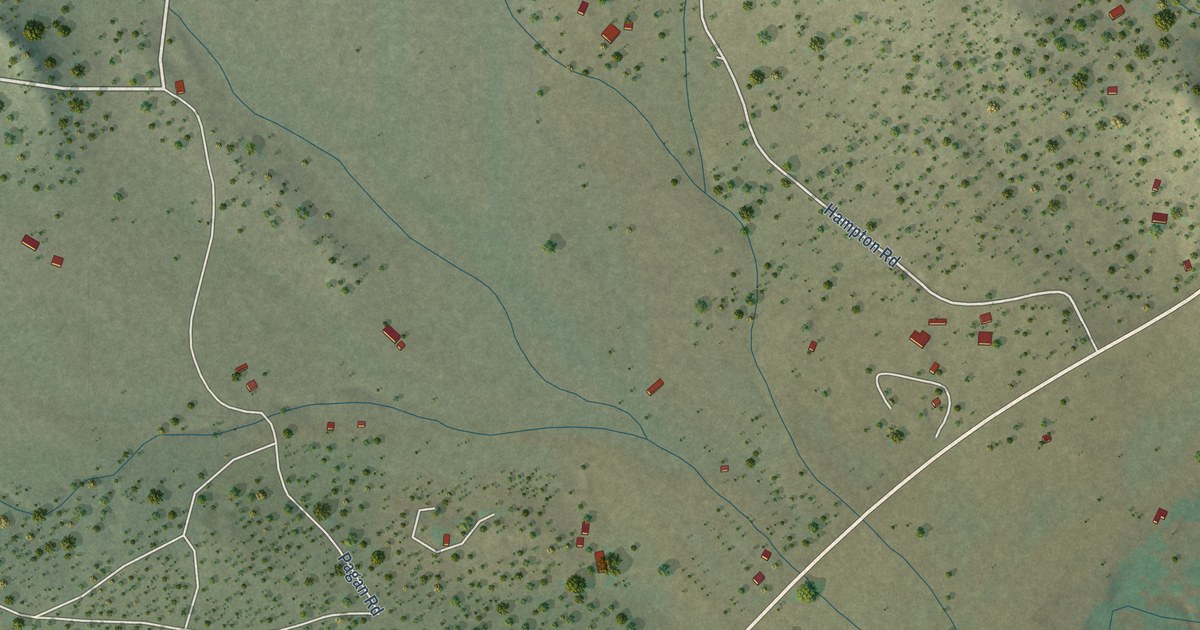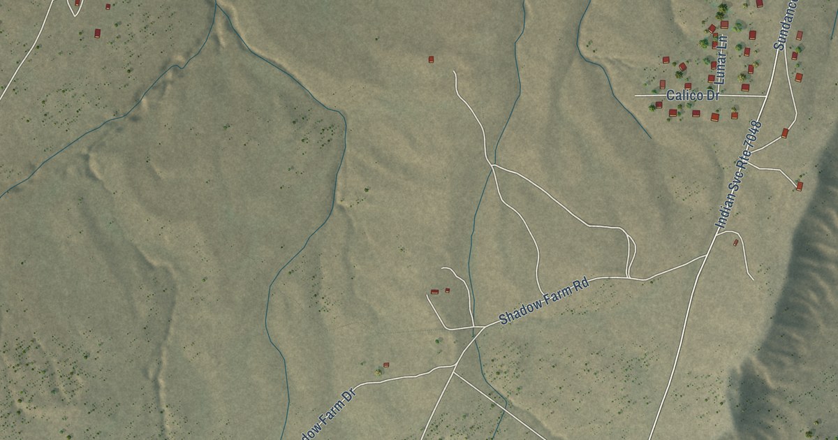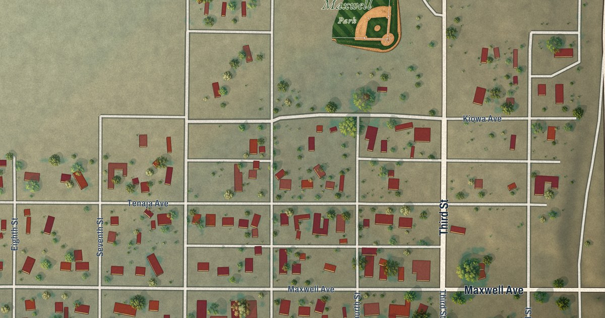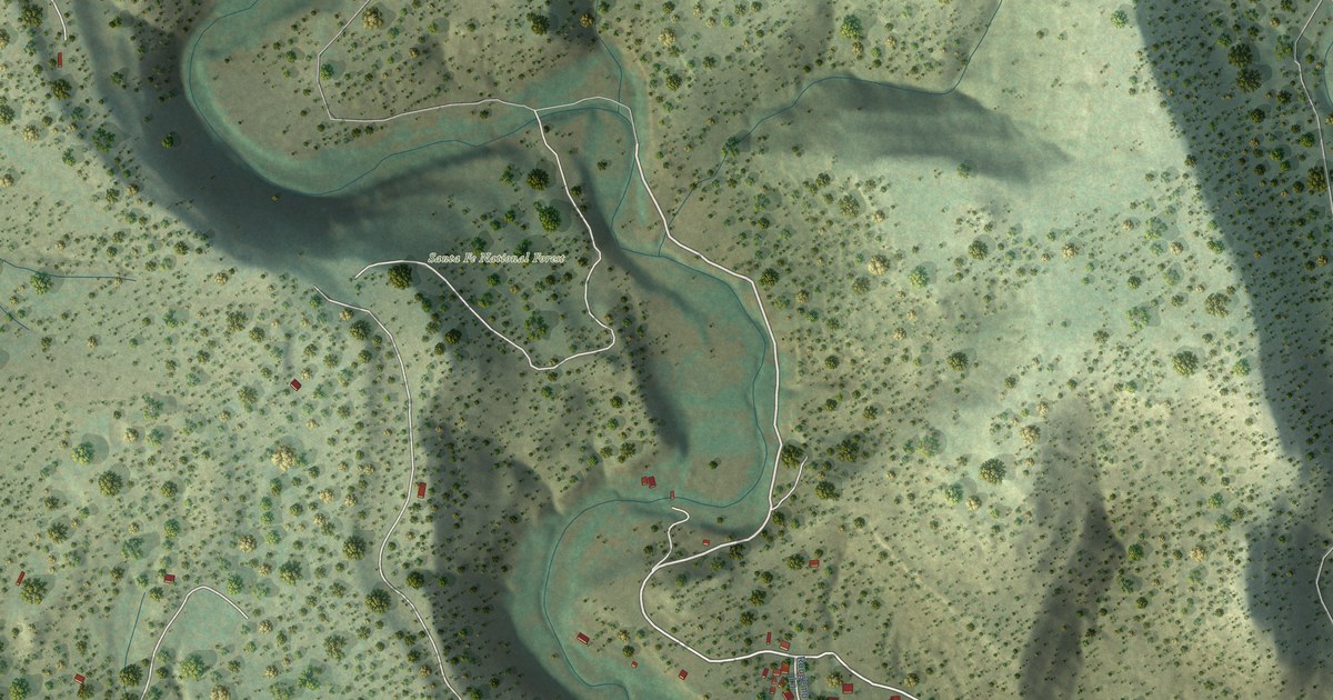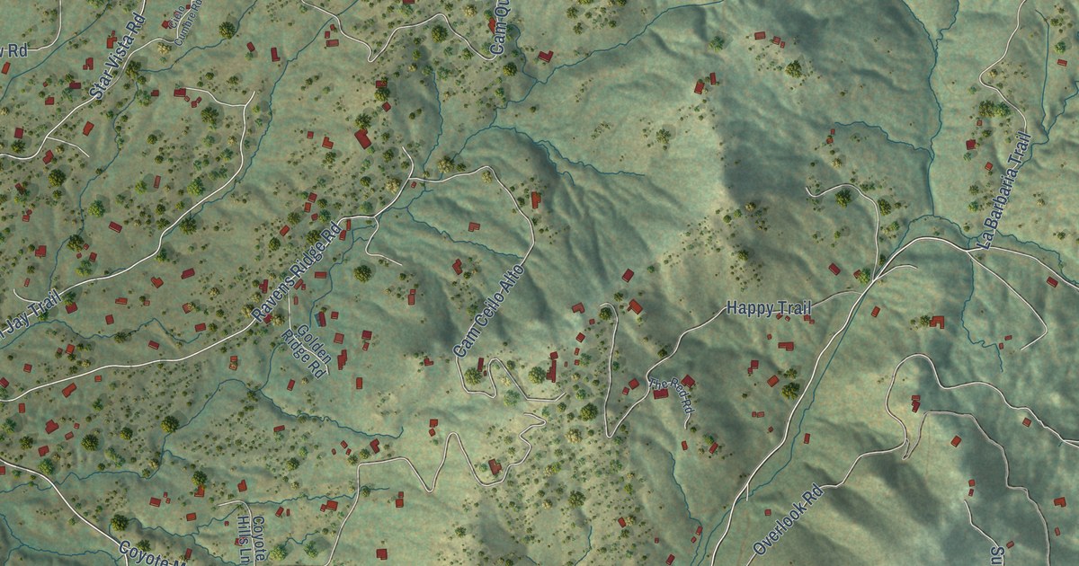
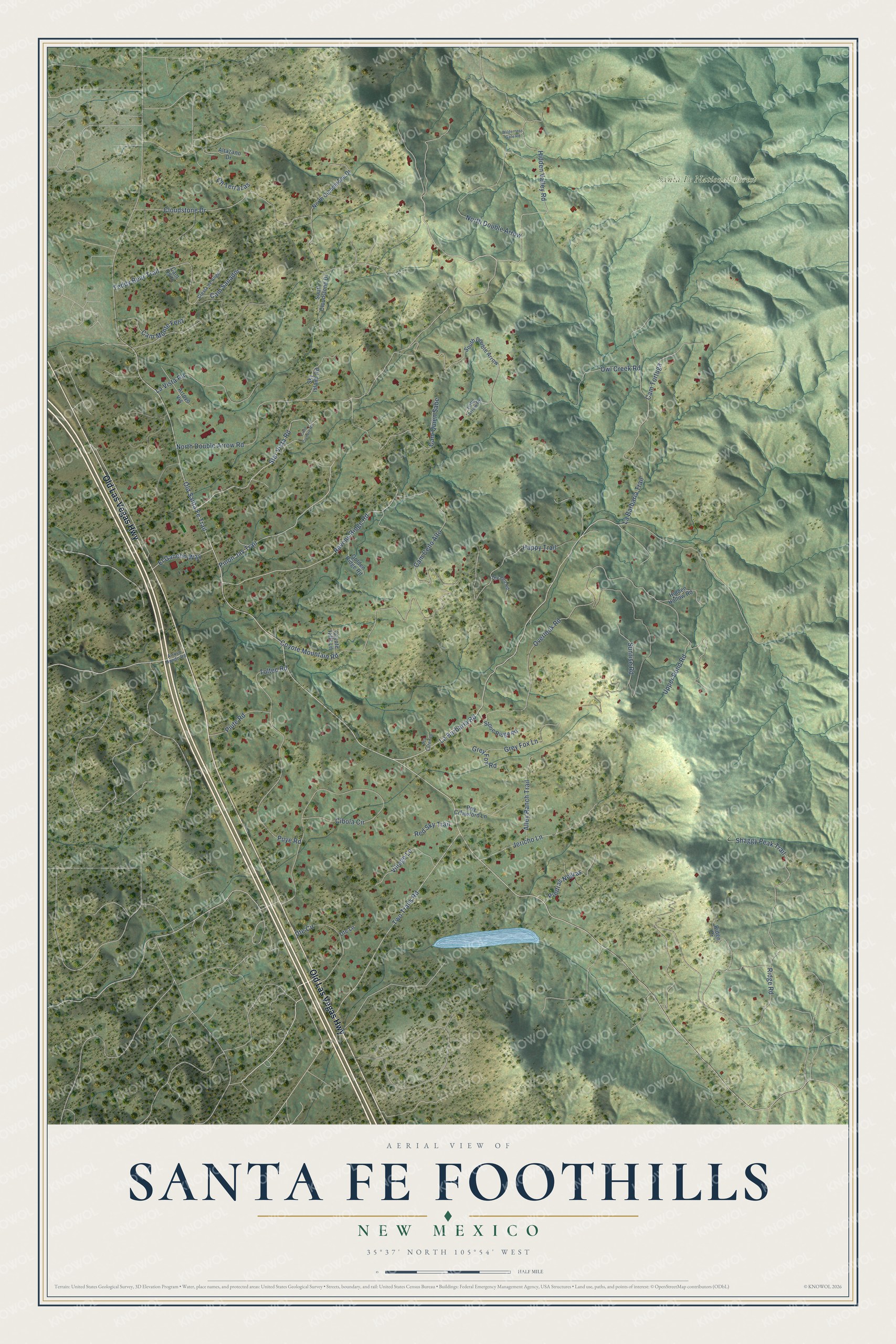
This beautifully detailed map of Santa Fe Foothills, New Mexico was created in 2026 using aerial imagery combined with modern topographical, census, street and landmark data. It's a modern aerial view of Santa Fe Foothills in Santa Fe County, New Mexico, that combines modern data with a vintage aesthetic. The roads feature printed names, and if you look closely you can find your exact house accurately shown in its correct location.
Explore an aerial view of Santa Fe Foothills, New Mexico
On this map you'll find Santa Fe National Forest, Old Las Vegas Highway, Hidden Valley Road, Old Santa Fe Trail, La Barbaria Road, Overlook Road, North Double Arrow Road, Ridge Road, Cloudstone Drive, Cibola Circle, Coyote Mountain Road, La Barbaria Trail, and more. Each red shape is a building, so zoom in on the preview and look for yours.
Santa Fe Foothills is a community in Santa Fe County. The Census Bureau counted 1,074 people here in 2020. Santa Fe Foothills sits about 2 miles east of Conejo, 3 miles northeast of Sunlit Hills and 3 miles northeast of Seton Village. The map prints the town name in its title panel, with the coordinates below it.
Take a closer look at the Santa Fe Foothills map
Names on this map
These names are printed on this map.
Places: Santa Fe National Forest.
Streets and roads: Old Las Vegas Highway, Hidden Valley Road, Old Santa Fe Trail, La Barbaria Road, Overlook Road, North Double Arrow Road, Ridge Road, Cloudstone Drive, Cibola Circle, Coyote Mountain Road, La Barbaria Trail, Two Trails Road.
More street names, A to Z
Alley Ranch Trail, Altazano Drive, Arroyo Hondo Road, Arroyo Vis, Cam Ceilo Alto, Cam Monte Feliz, Cam Osito, Cam Quien Sabe, Cam Sanador, Cam Tortuga, Cielo Cumbre Road, Cll Terrazas, Coyote Hills Lane, Cresta de Angel, El Gancho Way, Golden Ridge Road, Grey Fox Lane, Grey Fox Road, Happy Trail, Hidden Hollow Road, Jericho Lane, La Vista Road, Little Arrow Road, North Cloudstone Drive, North Double Arrow, Owl Creek Road, Piedras Negras, Pinon Jay Trail, Piute Road, Pla Lorenzo, Puye Road, Ravens Ridge Road, Red Sky Trail, Ridge Drive, Roy Crfawford Lane, Shaggy Peak Trail, Sky Island Road, South Cloudstone Drive, South Double Arrow, Star Vista Road, Stone Ridge Road, Sunrise Road, Teddy Bear Trail, The Red Road, Toltec Road, Upper Pond Road, Ute Circle, Ute Lane, Village Lane, Wilderness Gate Road.
See it on a wall
The Santa Fe Foothills map as a framed print. Swipe for more.


Created by KNOWOL in 2026. The buildings are small red shapes, the roads carry their printed names, and shaded relief shows the shape of the land. The title panel reads "AERIAL VIEW OF SANTA FE FOOTHILLS, NEW MEXICO" with 35°37' NORTH 105°54' WEST.
It suits a den, a classroom or a front hall, and it makes a gift for anyone with Santa Fe Foothills roots. Open the preview and find the block you know. See sizes and frames for the Santa Fe Foothills map.