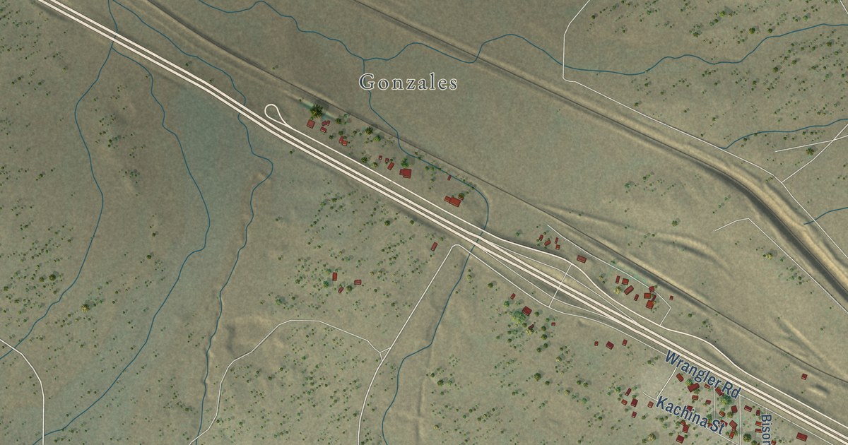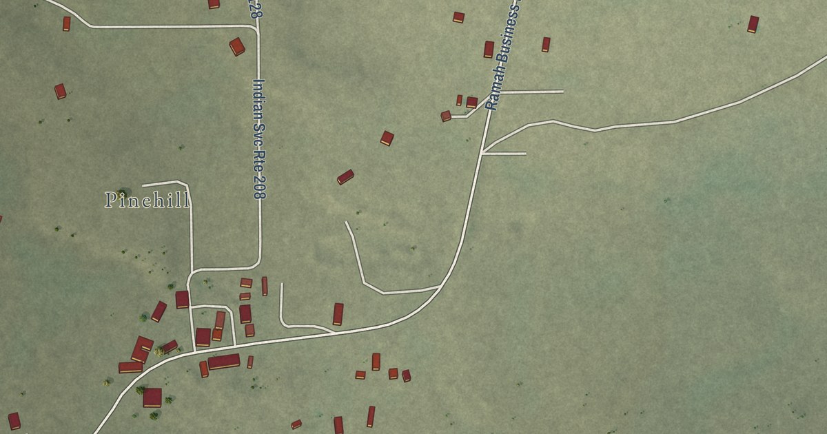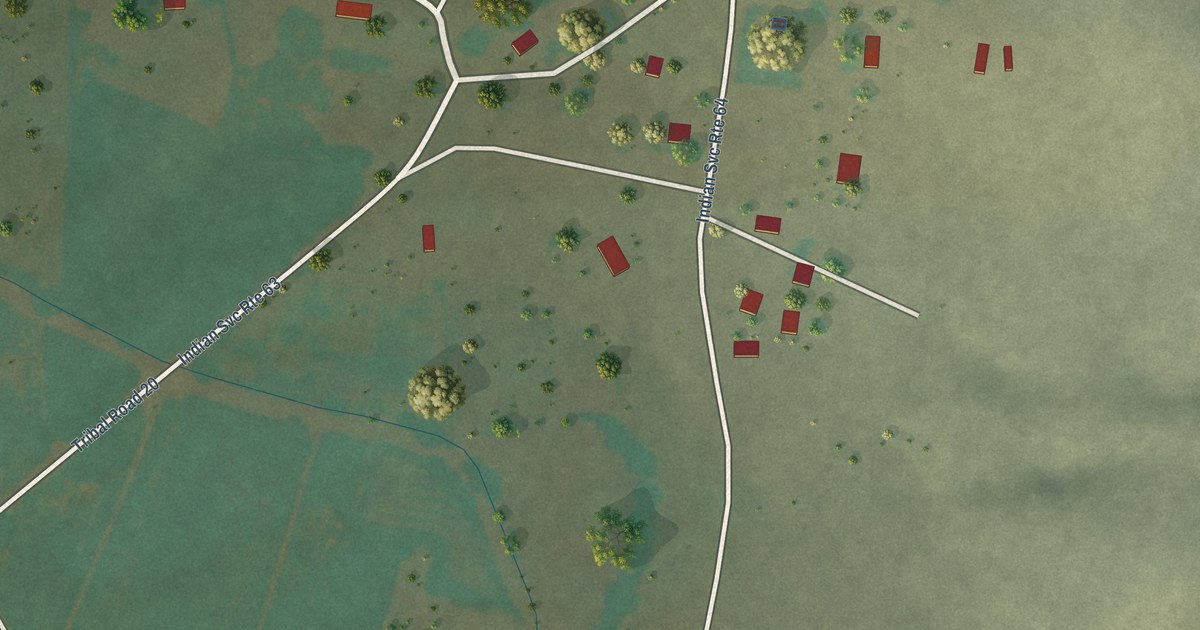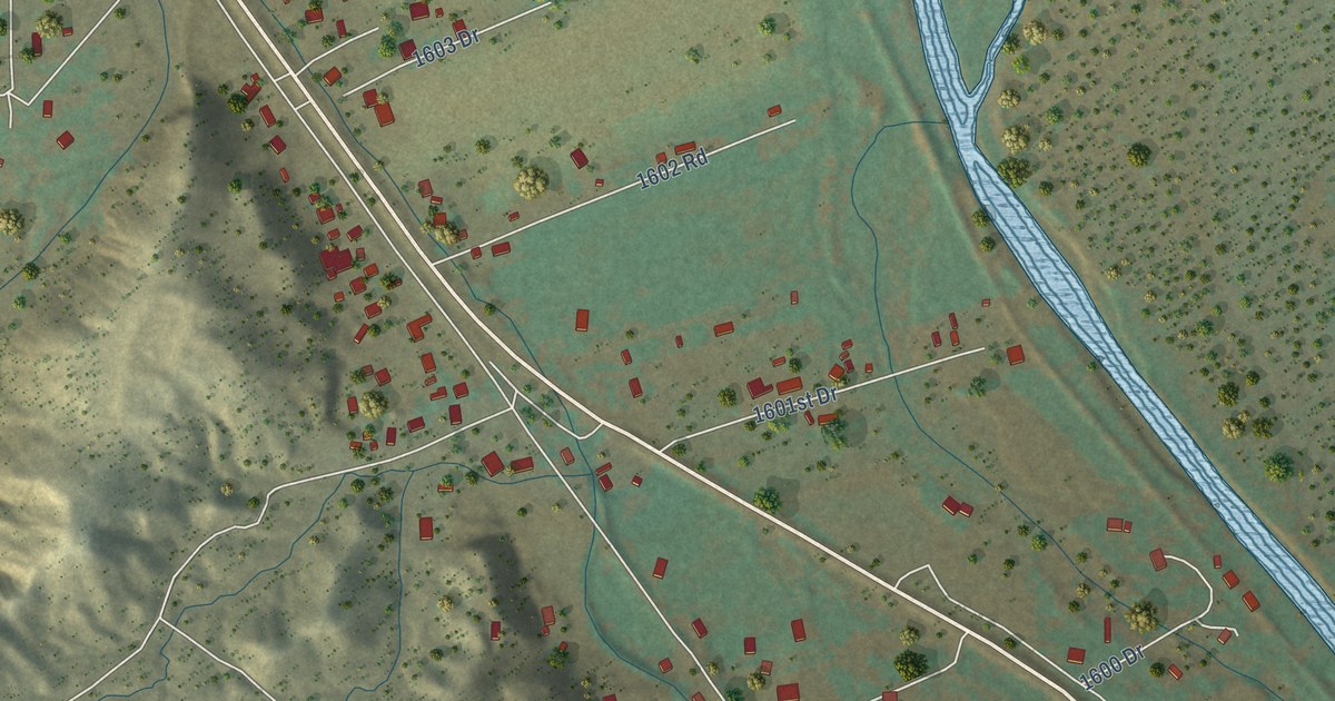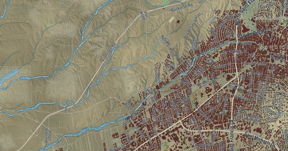
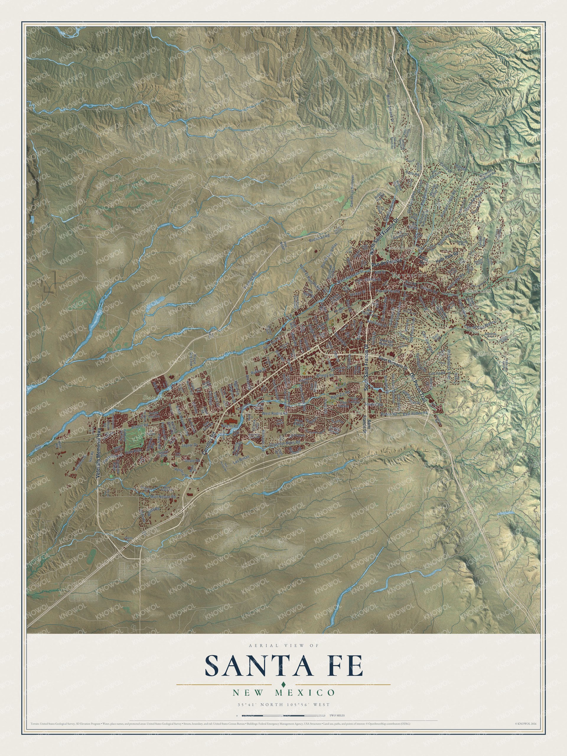
This beautifully detailed map of Santa Fe, New Mexico was created in 2026 using aerial imagery combined with modern topographical, census, street and landmark data. It’s a one-of-a-kind view of Santa Fe that combines accurate data with a vintage aesthetic. The map shows every building in its true location, many of the roads carry their names, and the shaded topographic relief shows the shape of the land.
Explore an aerial view of Santa Fe, New Mexico
On the map you’ll find Downtown, Cañada Ancha, Cañada Rincon, Cerro Gordo, Sun Mountain, State Trust Land, Dale Ball Trails, La Tierra Trails, and Pso de Peralta, along with Veterans Memorial Highway, Cerrillos Road, South Saint Francis Drive, and more. If you look closely you can even find your house accurately drawn in its correct location. Zoom in on the preview to look for yours.
Did you know this piece of Santa Fe, New Mexico history?
From the New Mexico Tourism Department: "Santa Fe was called the Dancing Ground of the Sun by early Native American inhabitants and nicknamed The City Different by town fathers at the turn of the 20th century."
Take a closer look at the Santa Fe map
Street and place names on the Santa Fe, New Mexico map
These names are printed on the map of Santa Fe, New Mexico.
Places: Downtown, Cañada Ancha, Cañada Rincon, Cerro Gordo, Sun Mountain, State Trust Land, Dale Ball Trails and La Tierra Trails.
Streets and roads: Pso de Peralta, Veterans Memorial Highway, Cerrillos Road, South Saint Francis Drive, Old Pecos Trail, North Saint Francis Drive, West Alameda Street, West Rodeo Road, Rodeo Road, Pso de Las Vistas, East Rodeo Road, Lopez Lane.
More street names, A to Z
Abeyta Street, Aggie Lane, Agua Fria Street, Airport Road, Alamo Drive, Alamosa Drive, Alta Vista Street, Alto Street, Arenal Court, Artist Road, Ash Street, Aspen Loop, Aspen Vw, Atalaya Hill Road, Atoca Road, Avenue de Las Campana, Avenue Rincon, Aviation Drive, Baca Street, Barranca Road, Big Sky Road, Bishops Lodge Road, Borrego Pass, Botulph Road, Brownell Howland Road, Buckman Road, Buffalo Grass Road, Calle Nueva Vis, Cam Alire, Cam Azul, Cam Cabra, Cam Capitan, Cam Carlos Rey, Cam Chueco, Cam Consuelo, Cam Corrales, Cam de Cruz Blanca, Cam de Destino, Cam del Monte Sol, Cam de Los Arroyos, Cam de Los Montoyas, Cam Entrada, Cam Francisca, Camino Cielo Vis, Cam la Canada, Cam Lejo, Cam Lumbre, Cam Militar, Cam Mio, Cam Oraibi, Cam Rio, Cam Rojo, Cam San Acacio, Cam Vistas Encantada, Canada Ancha, Canyon Road, Cerro de la Paz, Cerro Gordo Road, Cerros Colorados, Chelsea Lane, Circle Drive, Clark Road, Cliff Palace, Cll Arco, Cll Atajo, Cll Cacique, Cll Catalina, Cll Colibri, Cll Conejo, Cll David, Cll Delfino, Cll de Molina, Cll Estado, Cll Inez, Cll la Resolana, Cll Largo, Cll Lejano, Cll Lorca, Cll Luna, Cll Prado, Cll Vera Cruz, Cll Zanate, Colony Drive, Constellation Drive, Contenta Ridge, Dancing Ground Road, Don Diego Avenue, Don Gaspar Avenue, Don Quixote, Dunlap Street, Early Street, East Alameda Street, East Coronado Road, East De Vargas Street, East Lupita Road, East Zia Road, Emblem Road, Encantado Drive, Fairly Road, Fifth Street, Fire Place, Foothills Road, Forest Circle, Fort Union Drive, Frontage Road, Galisteo Street, Garcia Street, General Sage Drive, Gonzales Road, Governor Dempsey Drive, Governor Miles Road, Grant Avenue, Greg Avenue, Harrison Road, Hart Road, Herrera Drive, Hickox Street, Hopi Road, Huey Road, Hyde Park Road, Ilea Way, Industrial Road, Jaguar Alley, Jaguar Drive, James Avenue, Jay Street, Juanita Street, La Joya Road, La Loma Vis, Las Brisas, La Silla Dorada, La Vela Road, Llano Street, Loma Entrada, Lopez Street, Los Arboles Drive, Lucia Lane, Luisa Street, Lujan Street, Maclovia Street, Madrid Road, Maez Road, Main Street, Mansion Ridge Road, Market Street, Mesa del Oro, Miles Lane, Montana Verde Road, Montano Street, Monterey Drive, Monte Sereno Drive, Monte Verde Place, Morning Drive, Murales Road, Mutt Nelson Road, Nicole Place, Nix Lane, Nizhoni Drive, North El Rancho Road, Ocate Road, Ojos de Jo, Old Airport Road, Old Arroyo Chamiso, Old Santa Fe Trail, Old Taos Highway, Oliver Road, Osage Avenue, Otowi Road, Pacheco Street, Parkway Drive, Pedregal Place, Piedra Rondo, Pla de Oro, Pla de Vida, Plaza Blanca, Plaza Central, Power Line Road, Prairie Dog Loop, Pso Barranca, Pso de Andres, Pso del Rey, Pso del Sol, Pso del Sol West, Pso Nopal, Pso Real, Quail Run Drive, Rafael Street, Rail Runner Road, Reata Road, Richards Avenue, Ridgeline Road, Ridge Top Road, Rincon de Torreon, Rodeo Lane, Rufina Street, Saint Francis Drive, Saint Michaels Drive, San Felipe Road, San Ignacio, San Juan Ranch Road, Santeros Road, Sawmill Road, Scotts Place, Second Street, Sena Street, Seville Road, Sierra del Norte, Siler Road, Siringo Road, Sixth Street, South Meadows Road, Spruce Street, Tano Hills Lane, Tano Road, Taos Street, Tatum Lane, Tesuque Overlook, The High Road, Thomas Avenue, Thunder Ridge, Todos Santos Street, Valentine Way, Vallecita Drive, Valle Sereno, Valley Drive, Valmora Road, Via Abajo, Via Bosque, Via Caballero del Sur, Vis de la Ciudad, Vis del Sol, Vo Tech Road, Vuelta Ventura, Wagon Road, Webber Street, West Cordova Road, West Prince Road, West San Mateo Road, West Zia Road, Wilderness Arroyo, Wilderness Gate Road, Yucca Street, Zafarano Drive, Zepol Road.
See the Santa Fe, New Mexico map on a wall
The Santa Fe map as an 18 x 24 inch print in a black frame.

This beautifully detailed map of Santa Fe makes an attractive addition to your office, library, or den, and it can even be used to teach children the geography and history of the area. It also makes a great gift for anyone who grew up in Santa Fe or moved away. When you’re done exploring, click here to get your copy of the Santa Fe map.