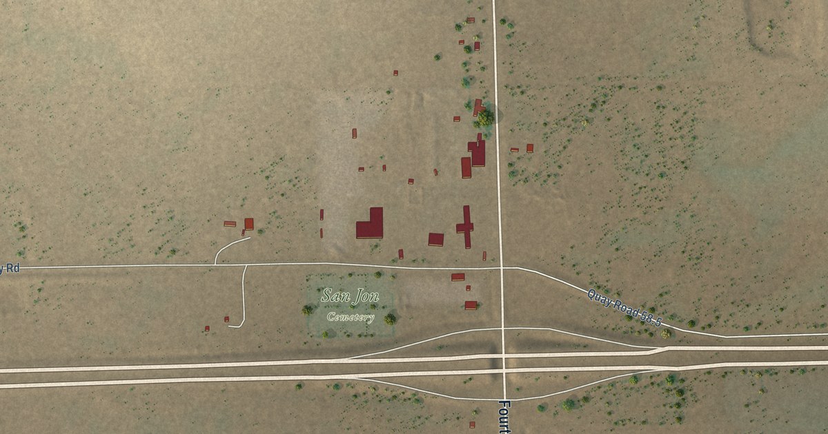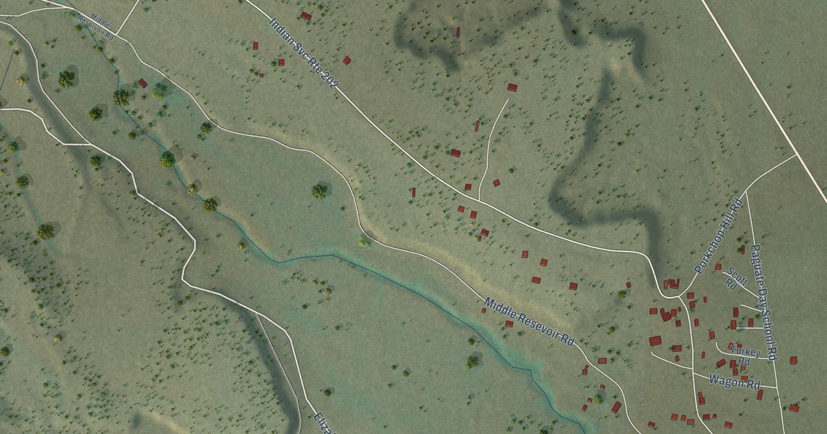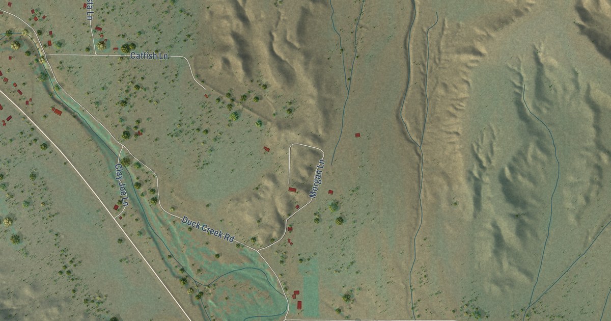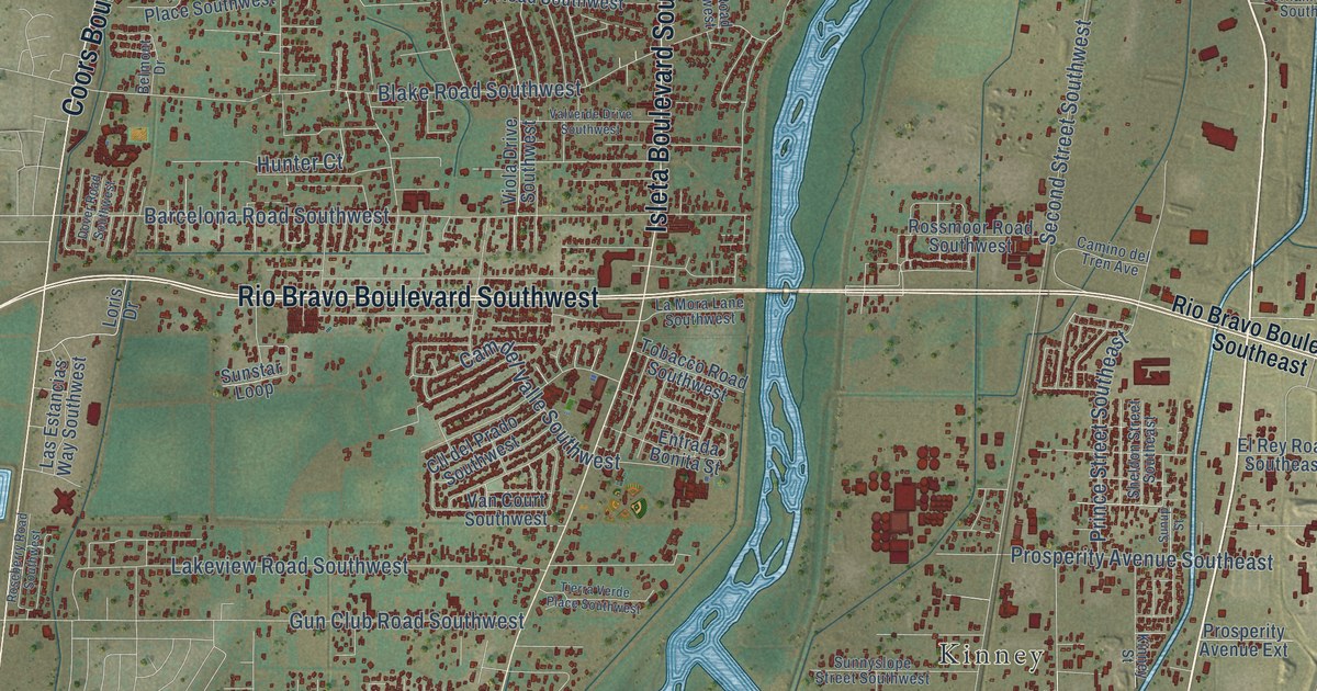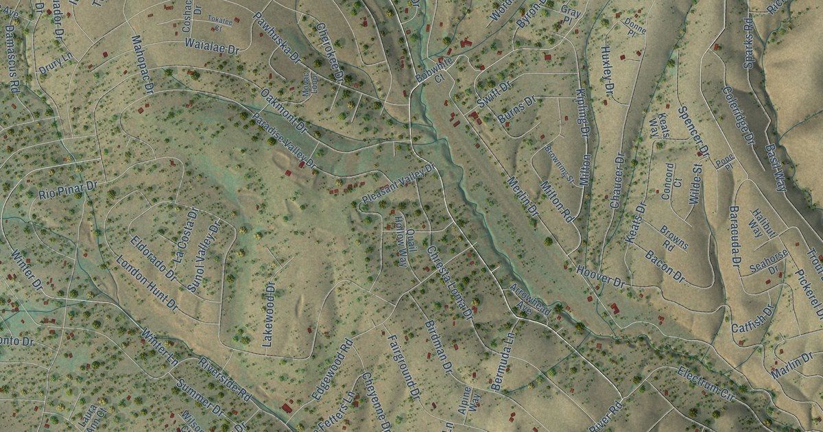
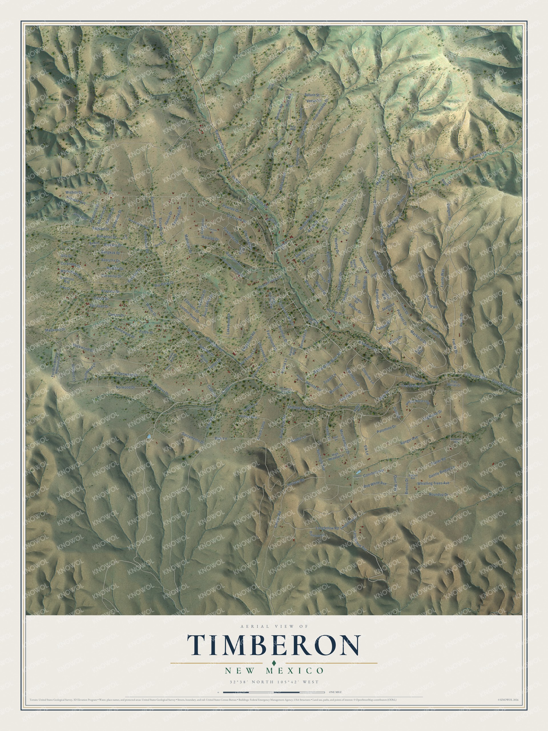
This beautifully detailed map of Timberon, New Mexico was created in 2026 using aerial imagery combined with modern topographical, census, street and landmark data. It's a modern aerial view of Timberon in Otero County, New Mexico, that combines modern data with a vintage aesthetic. The roads feature printed names, and if you look closely you can find your exact house accurately shown in its correct location.
Explore an aerial view of Timberon, New Mexico
On this map you'll find C-001, Sacramento Drive, Pounds Road, Sacramento River Road, Fs 537, Hoover Drive, Co Road C001, Shelley Drive, Canyon Road, Forest Road 537, Andromenda Drive, Bonnie Drive, and more. Each red shape is a building, so zoom in on the preview and look for yours.
Timberon has a story worth telling. Judge Paul Moss bought the land that became Timberon from the State of New Mexico in 1933, mainly for farming and for hosting guests for hunting and social gatherings. His son William married former child movie star Jane Withers, and the couple reportedly brought many Hollywood guests to enjoy the place. After the judge died, Willie Farah of El Paso bought the land and built its first airstrip. In March 1969 Farah sold it to a group of businessmen who later formed North American Land Development. That's from the Timberon Development Council.
Timberon is a community in Otero County. The Census Bureau counted 345 people here in 2020.
Take a closer look at the Timberon map
Names on this map
These names are printed on this map.
Streets and roads: C-001, Sacramento Drive, Pounds Road, Sacramento River Road, Fs 537, Hoover Drive, Shelley Drive, Canyon Road, Forest Road 537, Andromenda Drive, Bonnie Drive, Trout Drive.
More street names, A to Z
Abbeville Street, Aberden Street, Abrantes Street, Acacia Lane, Allen Place, Alpine Way, Andromendo Drive, Apache Drive, Arapaho Drive, Arrowhead Avenue, Aspendale Way, Bacon Drive, Bagdad Drive, Bahamas Drive, Balkan Drive, Balkans Drive, Bangkok Drive, Baracuda Drive, Barrett Court, Basil Way, Bear Lane, Beauregard Drive, Bellwood Court, Bermuda Lane, Birdman Drive, Bob White Avenue, Bobwhite Court, Bornite Circle, Bornite Drive, Bronco Drive, Browning Street, Browns Road, Brownwood Drive, Buckwood Drive, Burns Drive, Byron Drive, Cabin Lane, Cactus Way, Calcite Drive, Cana Court, Carson Drive, Catfish Drive, Cedar Lane, Chaucer Drive, Cherokee Drive, Cheyenne Drive, Chloride Lane, Chresta Loma Drive, Cibola Drive, Coconino Drive, Coleridge Drive, Concho Lane, Concho Loop, Concord Court, Coronado Drive, Corundun Circle, Coshacion Drive, Cox Court, Damascus Road, Deer Lane, Devonshire Avenue, Diamond Circle, Dixwood Drive, Donne Place, Drury Lane, Dry Creek Drive, Dungen Drive, Ecuador Drive, Edgewood Road, Eldorado Drive, Electrum Circle, Elk Lane, Fairground Drive, Fence Line Road, Forest Loop, Fort Bliss Military Reservation, Fuerte Drive, Fuerte Way, Gemini Road, Gentle Breeze Lane, Gila Drive, Gray Court, Gray Place, Gunnison Way, Halibut Way, Harvest Road, Hayssinia Street, High Meadow Lane, Homewood Drive, Huff Avenue, Hungry Horse Loop, Hunter Avenue, Huxley Drive, Hyde Street, Itasca Drive, Java Avenue, Joe Fetters Lane, Johnnys Drive, Keats Drive, Keats Way, Kipling Drive, La Costa Drive, Lakewood Drive, Laura Ann Court, Lewis Way, Loghouse Drive, London Hunt Drive, Longfellow Avenue, Longfellow Court, Longfellow Road, Lyra Way, Mackeral Drive, Mahopac Drive, Malory Drive, Marlin Drive, Marrand Road, Mars, Maywood Drive, Melory Drive, Merlin Drive, Miles Loop, Milton, Milton Road, Mountainaire Drive, Movac Loop, Nancy Court, Norwood Drive, Oakmont Drive, Palomino Drive, Paradise Valley Drive, Pawhuska Drive, Pawnee Drive, Pegasus Drive, Perch Drive, Pickerel Drive, Pike Court, Pine Road, Pioneer Drive, Pleasant Valley Drive, Pope Place, Quail Hollow Way, Quirt Street, Quirt Way, Ranger Avenue, Richeson Drive, Richwood Lane, Rio Pinar Drive, Riverside Road, Rocky Trail Road, Roundup Drive, Ruby Drive, Sacramento Canyon Road, Sacramento River Drive, Saddle Lane, Salmon Drive, San Juan Drive, Santa Fe Drive, Saturn Street, Sauk Way, Seahorse Drive, Settler Lane, Shallow Creek Road, Shay Street, Shele Drive, Southern Pacific Drive, Sparks Road, Spencer Drive, Spur Lane, Stallion Avenue, Summer Drive, Sunol Valley Drive, Surcingle Avenue, Swift Drive, Timber Drive, Tokatee Court, Tono Lane, Tonto Drive, Topaz Lane, Trailer Road, Tres Marias Court, Tres Marias Drive, Trinidad Avenue, Tuna Way, Twaafskill Drive, Uranus Drive, Valley Road, Venus Lane, Waialae Drive, Whistling Trees Avenue, White River Lane, Wilde Street, Wilson Court, Winter Drive, Winter Lane, Wishita Drive, Wollin Drive, Wordsworth Road, Zaragosa Road.
See it on a wall
The Timberon map as a framed print. Swipe for more.


Created by KNOWOL in 2026. The buildings are small red shapes, the roads carry their printed names, and shaded relief shows the shape of the land. The title panel reads "AERIAL VIEW OF TIMBERON, NEW MEXICO" with 32°38' NORTH 105°42' WEST.
It looks right in a kitchen, an office or a den, and it's a gift for anyone who grew up in Timberon or moved away. Open the preview and find your street. See sizes and frames for the Timberon map.