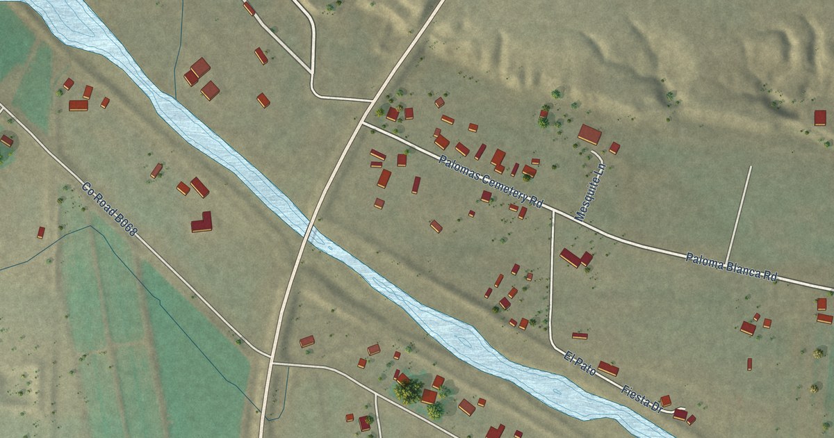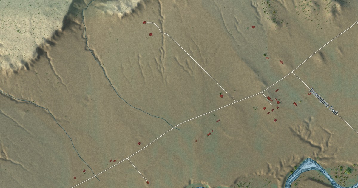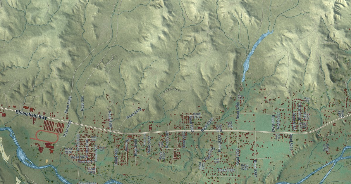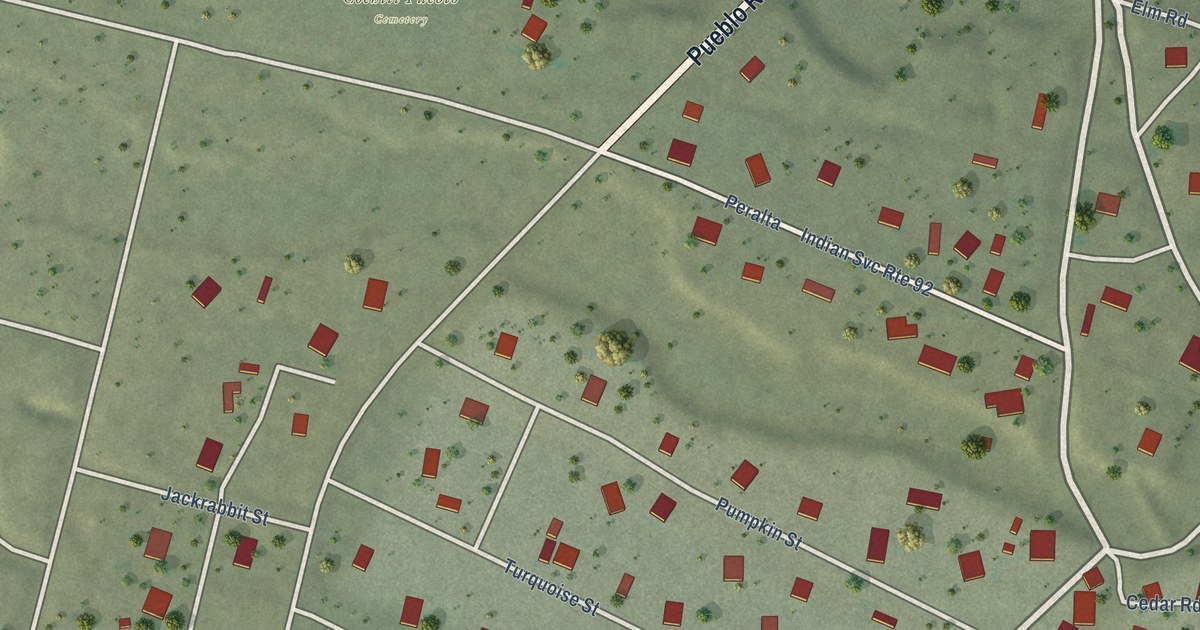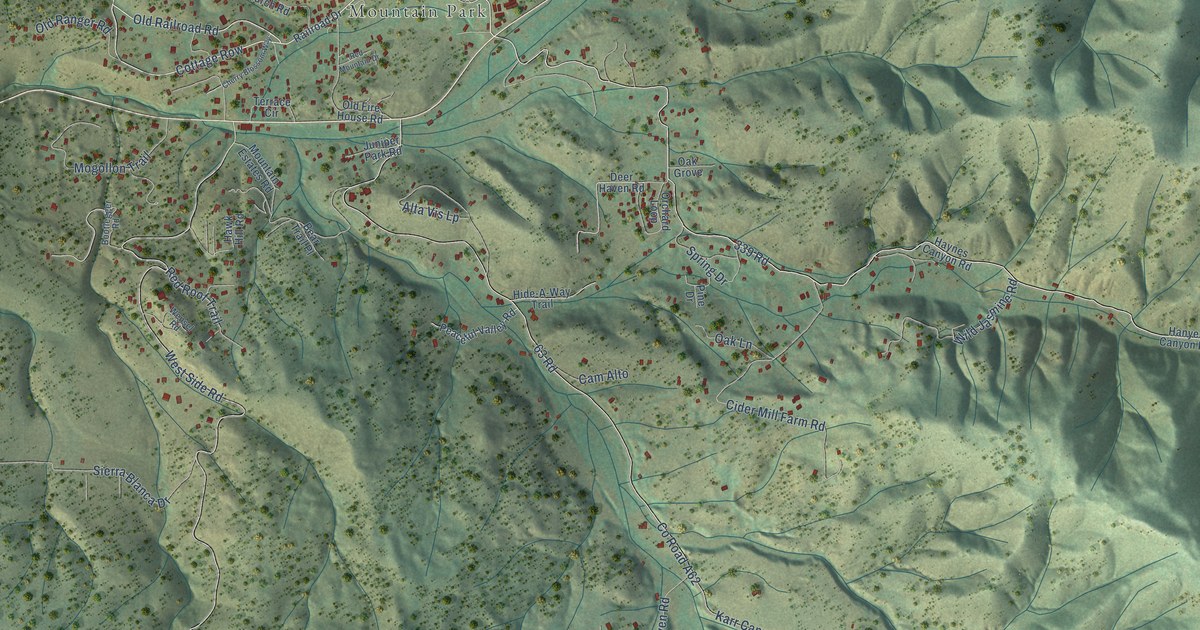
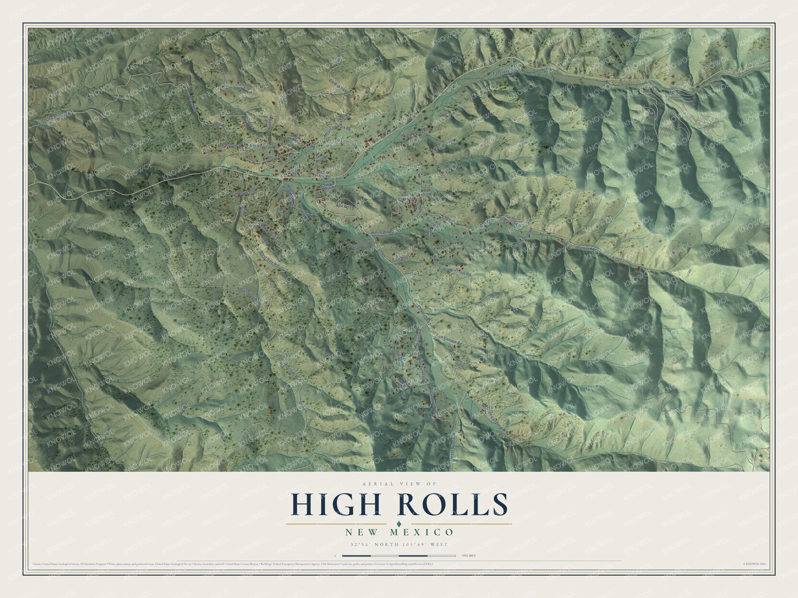
This beautifully detailed map of High Rolls, New Mexico was created in 2026 using aerial imagery combined with modern topographical, census, street and landmark data. It's a modern aerial view of High Rolls in Otero County, New Mexico, that combines modern data with a vintage aesthetic. The roads feature printed names, and if you look closely you can find your exact house accurately shown in its correct location.
Explore an aerial view of High Rolls, New Mexico
On this map you'll find Mountain Park, Mountain Park Road, Old Railroad Road, 162 Road, A-067, Cottage Row, Karr Canyon Road, Westside Road, 63 Road, 90 Road, West Side Road, Co Road A62, and more. Each red shape is a building, so zoom in on the preview and look for yours.
Every town has a first chapter, and High Rolls is no exception. Bill Mauldin, the Pulitzer Prize winning cartoonist who created the Second World War soldiers Willie and Joe, was born and raised in Mountain Park, part of today's High Rolls community. His first cartoon appeared in the Alamogordo High School newspaper. The High Rolls name was first used in 1901, when the post office moved there from Fresnal. It is said to come from the shape and elevation of the area, compared with the sharper peaks higher up. That's from the Sacramento Mountains Museum.
High Rolls is a community in Otero County. The Census Bureau counted 862 people here in 2020.
Take a closer look at the High Rolls map
Names on this map
These names are printed on this map.
Places: Mountain Park.
Streets and roads: Mountain Park Road, Old Railroad Road, 162 Road, A-067, Cottage Row, Karr Canyon Road, Westside Road, 63 Road, 90 Road, West Side Road, County Road A62, County Road A60.
More street names, A to Z
339 Road, Alta Vis Lp, Apple Valley Road, Bear Trail Place, Bootlegger Road, Calico Peak Road, Cam Alto, Cherry Blossom Way, Cider Mill Farm Road, Clearview Drive, Colorado Place, County Road A68, Crooked Creek Trail, Deer Haven Road, Faesnel Creek, Falcon Hill Road, Forest Road 634, Fresnal Canyon Road, Hanyes Canyon Road, Hawk Hill Road, Haynes Canyon Road, Hide-A-Way Trail, Hummingbird Lane, Juniper Park Road, Mogollon Trail, Mountain Estates Road, Nealson Canyon Road, Nighthawk, Oak Grove, Oak Lane, Old Church Road, Old Fire House Road, Old Ranger Road, Orchard Loop, Peaceful Valley Road, Pine Drive, Railroad Drive, Raven Road, Red Mountain Drive, Red Rock, Red Rock Road, Red Roof Trail, Sierra Blanca Drive, Spring Drive, Terrace Circle, Wensel Road, Wild Jasmine Road, Wild Turkey Circle.
See it on a wall
The High Rolls map as a framed print. Swipe for more.


Created by KNOWOL in 2026. The buildings are small red shapes, the roads carry their printed names, and shaded relief shows the shape of the land. The title panel reads "AERIAL VIEW OF HIGH ROLLS, NEW MEXICO" with 32°56' NORTH 105°49' WEST.
Hang it in the hallway, the office or the cabin, or give it to someone who left High Rolls and still calls it home. Open the preview and look for a street you know. See sizes and frames for the High Rolls map.