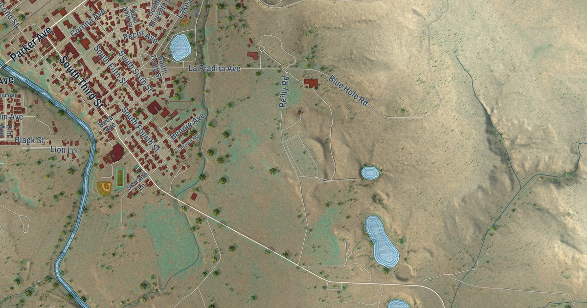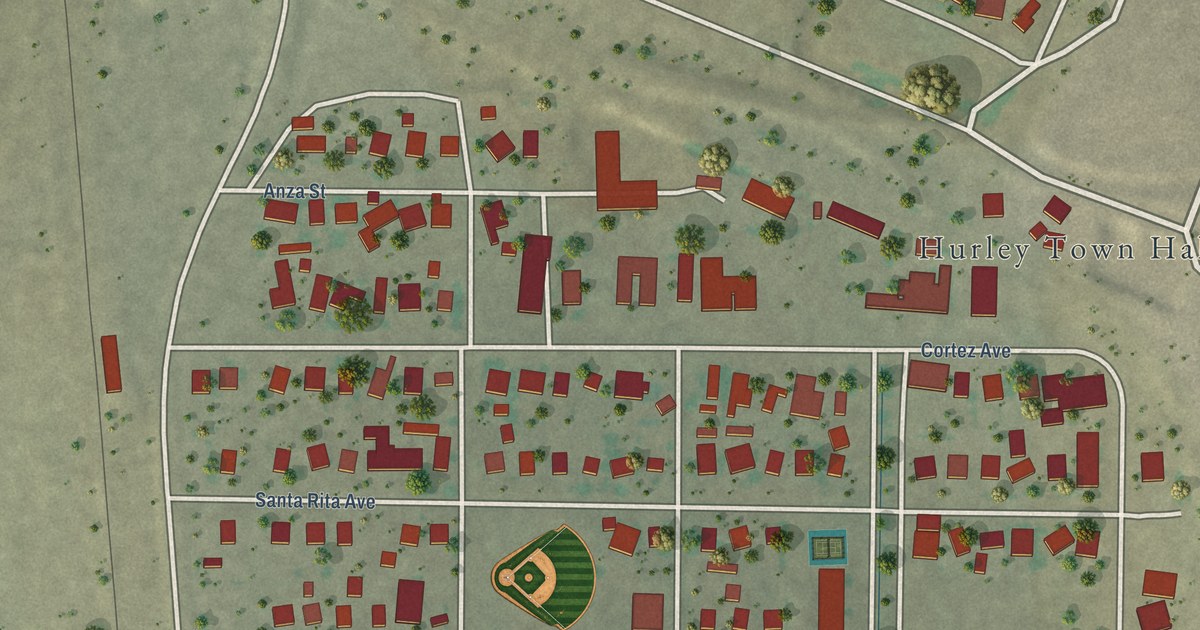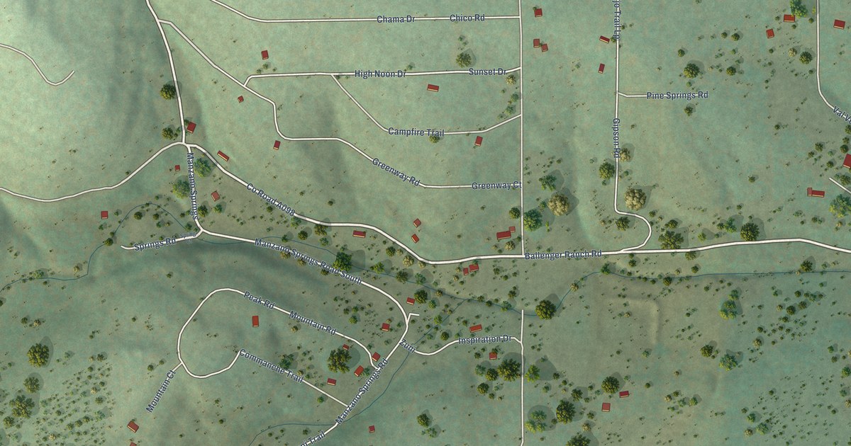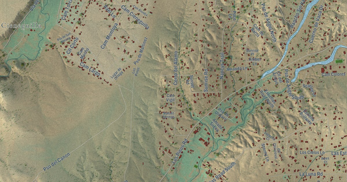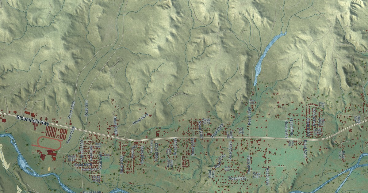
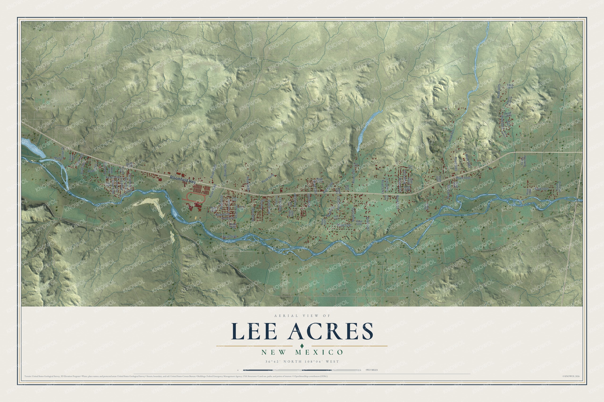
This beautifully detailed map of Lee Acres, New Mexico was created in 2026 using aerial imagery combined with modern topographical, census, street and landmark data. It's a modern aerial view of Lee Acres in San Juan County, New Mexico, that combines modern data with a vintage aesthetic. The roads feature printed names, and if you look closely you can find your exact house accurately shown in its correct location.
Explore an aerial view of Lee Acres, New Mexico
On this map you'll find Bloomfield Highway, Road 5569, Road 350, Road 5500, Road 5151, Road 5760, Road 5072, Road 5117, Road 5290, Road 5295, Road 5217, Road 5387, and more. Each red shape is a building, so zoom in on the preview and look for yours.
Lee Acres is a community in San Juan County. The Census Bureau counted 4,170 people here in 2020. Lee Acres sits about 2 miles northwest of West Hammond, 3 miles southeast of Crouch Mesa and 6 miles southwest of Bloomfield. The map prints the town name in its title panel, with the coordinates below it.
Take a closer look at the Lee Acres map
Names on this map
These names are printed on this map.
Streets and roads: Bloomfield Highway, Road 5569, Road 350, Road 5500, Road 5151, Road 5760, Road 5072, Road 5117, Road 5290, Road 5295, Road 5217, Road 5387.
More street names, A to Z
Creek 5150, Ferrari Ranch Road, Jim Lane, Malfunction Drive, McDaniel Canyon Road, North Newby Lane, Ox Bow Drive, Road 5005, Road 5008, Road 5070, Road 5075, Road 5076, Road 5083, Road 5085, Road 5095, Road 5097, Road 5109, Road 5127, Road 5150, Road 5152, Road 5153, Road 5173, Road 5210, Road 5211, Road 5235, Road 5243, Road 5267, Road 5291, Road 5296, Road 5297, Road 5322, Road 5323, Road 5324, Road 5325, Road 5336, Road 5364, Road 5367, Road 5374, Road 5377, Road 5398, Road 5402, Road 5433, Road 5441, Road 5455, Road 5457, Road 5467, Road 5468, Road 5473, Road 5474, Road 5476, Road 5478, Road 5479, Road 5481, Road 5482, Road 5485, Road 5490, Road 5499, Road 5568, Road 5723, Road 5756, Road 5758, Road 5759, Road 5761, Road 5769, Road 5775, Road 5777, Road 5793, Road 5795, Road 5817, Road 5821, Road 5841, South Church Street, Wild Horse Drive.
See it on a wall
The Lee Acres map as a framed print. Swipe for more.


Created by KNOWOL in 2026. The buildings are small red shapes, the roads carry their printed names, and shaded relief shows the shape of the land. The title panel reads "AERIAL VIEW OF LEE ACRES, NEW MEXICO" with 36°42' NORTH 108°04' WEST.
It looks right in a kitchen, an office or a den, and it's a gift for anyone who grew up in Lee Acres or moved away. Open the preview and find your street. See sizes and frames for the Lee Acres map.