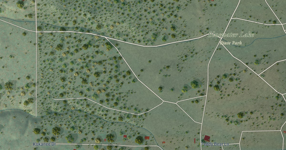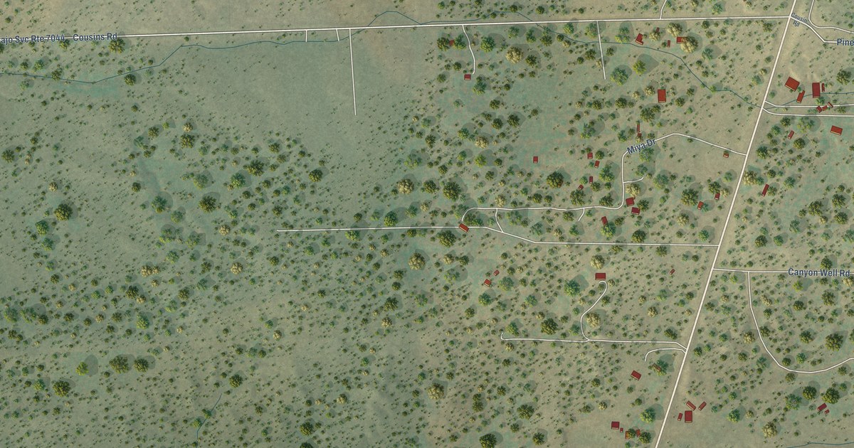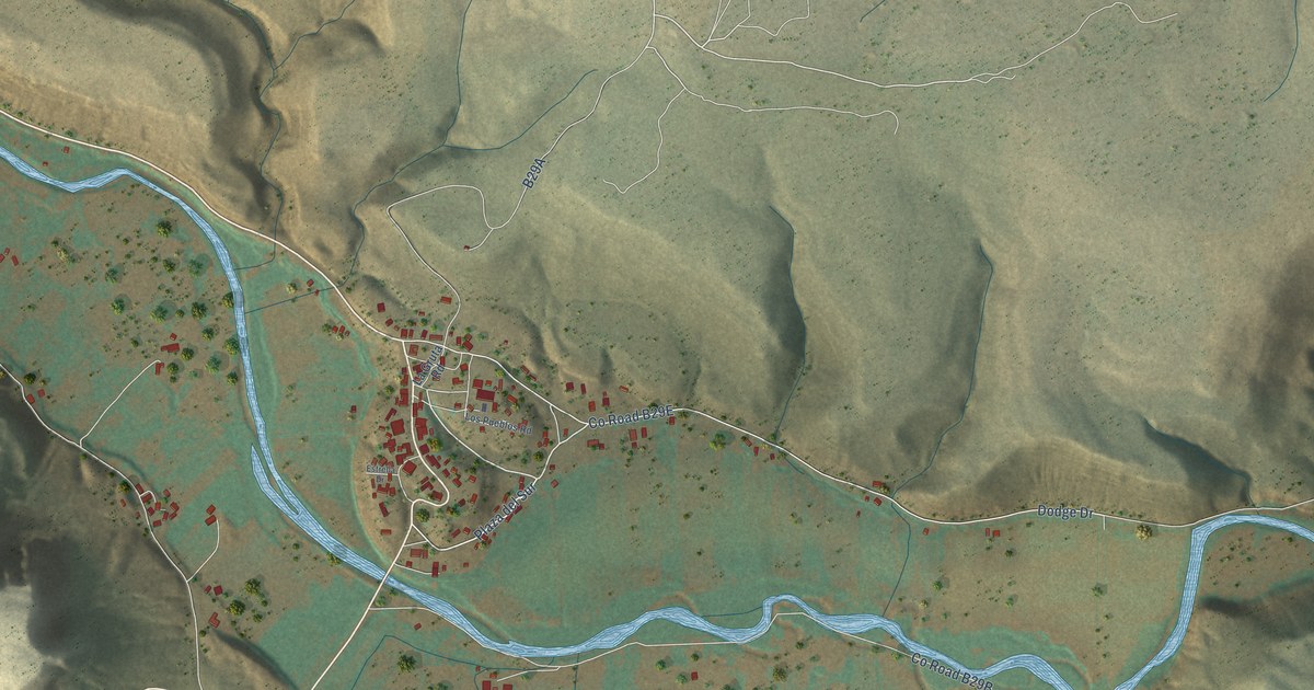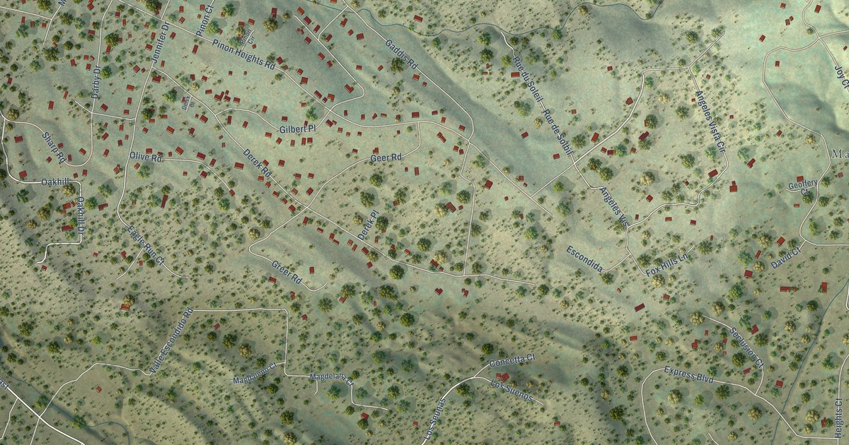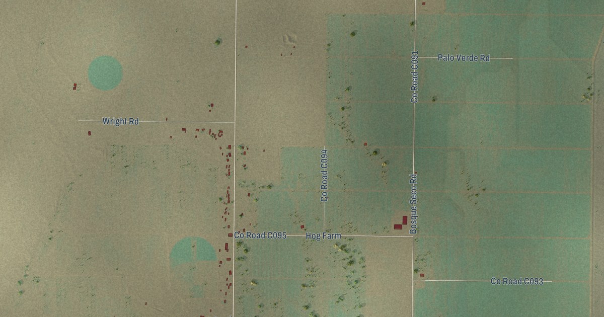
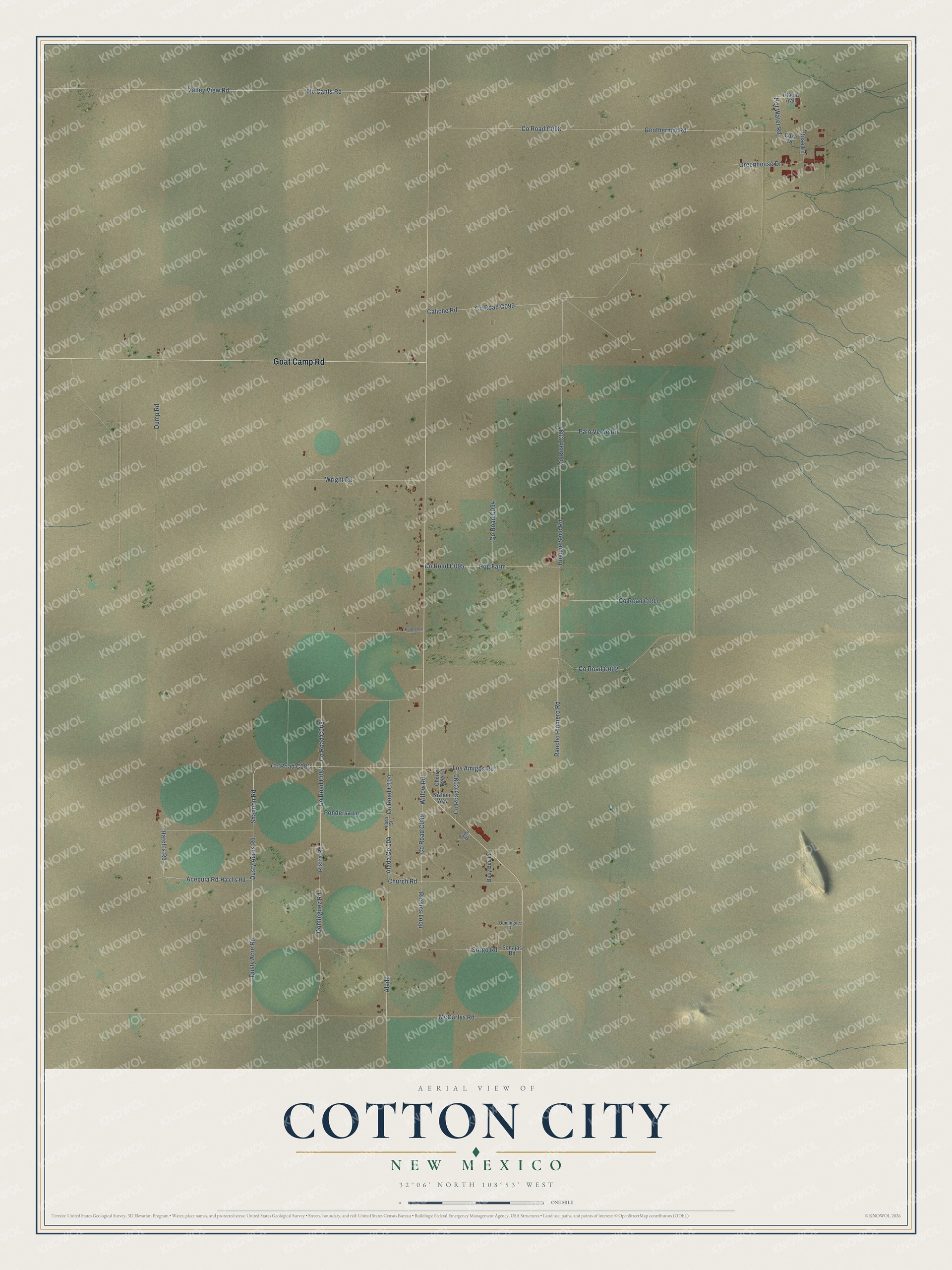
This beautifully detailed map of Cotton City, New Mexico was created in 2026 using aerial imagery combined with modern topographical, census, street and landmark data. It's a modern aerial view of Cotton City in Hidalgo County, New Mexico, that combines modern data with a vintage aesthetic. The roads feature printed names, and if you look closely you can find your exact house accurately shown in its correct location.
Explore an aerial view of Cotton City, New Mexico
On this map you'll find Goat Camp Road, Co Road C104, Alada Co 104, Alada, Co Road C081, Dusty Acre Road, Shannon Road, Dusty Acres Road, Los Amigos Road, Rancho Plumero Road, Acequia Road, Co Road C008, and more. Each red shape is a building, so zoom in on the preview and look for yours.
Every town has a first chapter, and Cotton City is no exception. In 2001 James C. Witcher of New Mexico State University reported that the Burgett Geothermal Greenhouse at Cotton City was the largest employer in Hidalgo County. More than half of New Mexico's greenhouse acreage was heated with geothermal energy, the largest such acreage in the nation. That's from the New Mexico Geological Society.
Cotton City is a community in Hidalgo County. The Census Bureau counted 266 people here in 2020.
Take a closer look at the Cotton City map
Names on this map
These names are printed on this map.
Streets and roads: Goat Camp Road, Alada, Dusty Acre Road, Shannon Road, Dusty Acres Road, Los Amigos Road, Rancho Plumero Road, Acequia Road, Dominguez Road, Ristra Road, Mc Cants Road, Valley View Road.
More street names, A to Z
Alada Street, Bollweevil Lane, Bosque Seco Road, Busy Bee Lane, Caliche Road, Casa Drive, Cherry Tree Lane, Church Road, Dominguez Drive, Dump Road, Geothermal Road, Greenhouse Drive, Hatch's Road, Hatchs Road, Hog Farm, Hot Water Road, McCartys Road, Nizhoni Way, Palo Verde Road, Pondersa Lane, Richins Loop, Rose Lane, Sonajas Road, Sorgo Road, Tilapia Trail, Willow Road, Wright Road, Yuma Drive.
See it on a wall
The Cotton City map as a framed print. Swipe for more.


Created by KNOWOL in 2026. The buildings are small red shapes, the roads carry their printed names, and shaded relief shows the shape of the land. The title panel reads "AERIAL VIEW OF COTTON CITY, NEW MEXICO" with 32°06' NORTH 108°53' WEST.
Hang it in the hallway, the office or the cabin, or give it to someone who left Cotton City and still calls it home. Open the preview and look for a street you know. See sizes and frames for the Cotton City map.