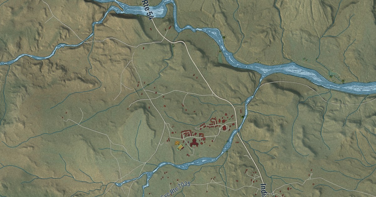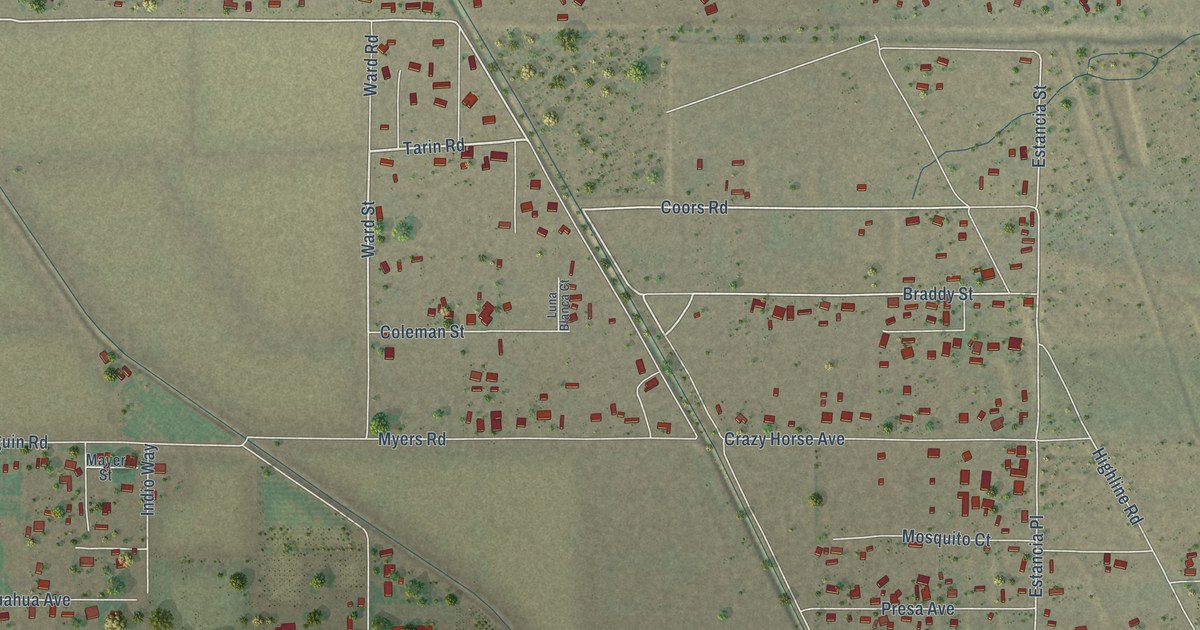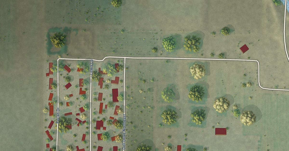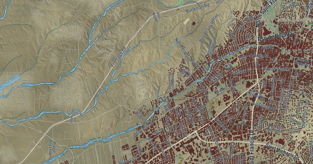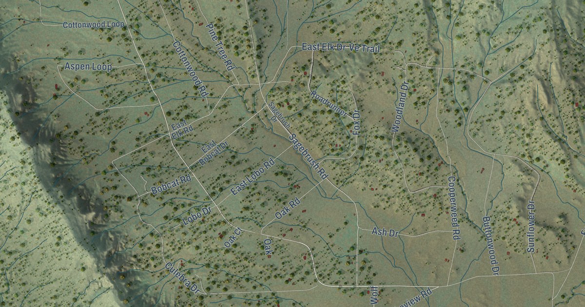
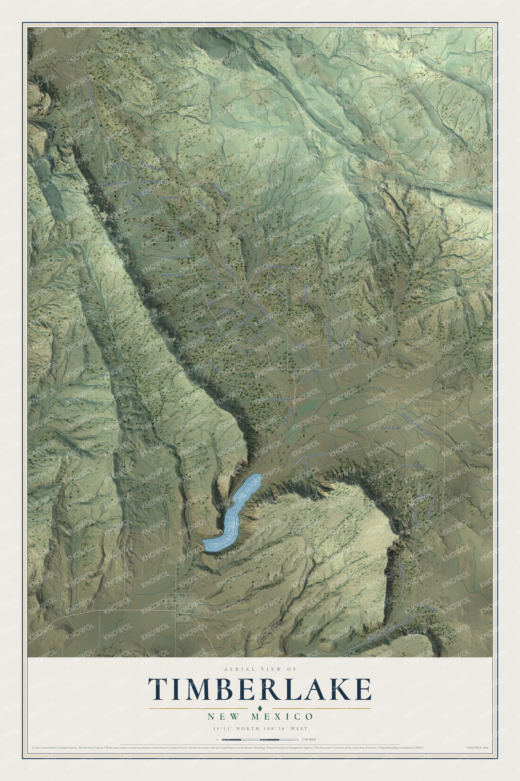
This beautifully detailed map of Timberlake, New Mexico was created in 2026 using aerial imagery combined with modern topographical, census, street and landmark data. It's a modern aerial view of Timberlake in McKinley County, New Mexico, that combines modern data with a vintage aesthetic. The roads feature printed names, and if you look closely you can find your exact house accurately shown in its correct location.
Explore an aerial view of Timberlake, New Mexico
On this map you'll find Cibola National Forest, Timber Road, Lakeview Road, Lakeview Drive, Timberlake Road, Shorecliff, Deer Run Road, Forest Svc 157 Road, Cliffside Drive, East Elk Drive, Culebra Drive, Ash Drive, and more. Each red shape is a building, so zoom in on the preview and look for yours.
Timberlake is a community in McKinley County. The Census Bureau counted 121 people here in 2020. Timberlake sits about 5 miles north of Ramah, 13 miles south of McGaffey and 13 miles northwest of El Morro Valley. The map prints the town name in its title panel, with the coordinates below it.
Take a closer look at the Timberlake map
Names on this map
These names are printed on this map.
Places: Cibola National Forest.
Streets and roads: Timber Road, Lakeview Road, Lakeview Drive, Timberlake Road, Shorecliff, Deer Run Road, Forest Svc 157 Road, Cliffside Drive, East Elk Drive, Culebra Drive, Ash Drive, Ve Trail.
More street names, A to Z
Aspen Loop, Black Bear Road, Blackbear Road, Blue Jay Court, Bobcat Road, Box South Ranch Road, Buttonwood Drive, Cedar Road, Cliffrose Court, Conejo Drive, Cooperweed Road, Cottonwood Loop, Cottonwood Road, East Bluebird Drive, East Bobcat Drive, East Elk Road, East Lobo Road, Forest Road, Fox Drive, Green Eyed Lady, Halcon Road, Highway 53, Lobo Drive, Monte Vista Lane, Oak, Oak Court, Oak Road, Old Forest Road 157, Pine Tree Road, Pinion Road, Quail Road, Quick Draw, Roadrunner, Sagebrush Drive, Sagebrush Road, Shoreline Vw, Sunflower Drive, Sunrise Way, West Bluebird Drive, Wolf, Woodland Drive, Yucca Drive.
See it on a wall
The Timberlake map as a framed print. Swipe for more.


Created by KNOWOL in 2026. The buildings are small red shapes, the roads carry their printed names, and shaded relief shows the shape of the land. The title panel reads "AERIAL VIEW OF TIMBERLAKE, NEW MEXICO" with 35°11' NORTH 108°28' WEST.
It suits a den, a classroom or a front hall, and it makes a gift for anyone with Timberlake roots. Open the preview and find the block you know. See sizes and frames for the Timberlake map.