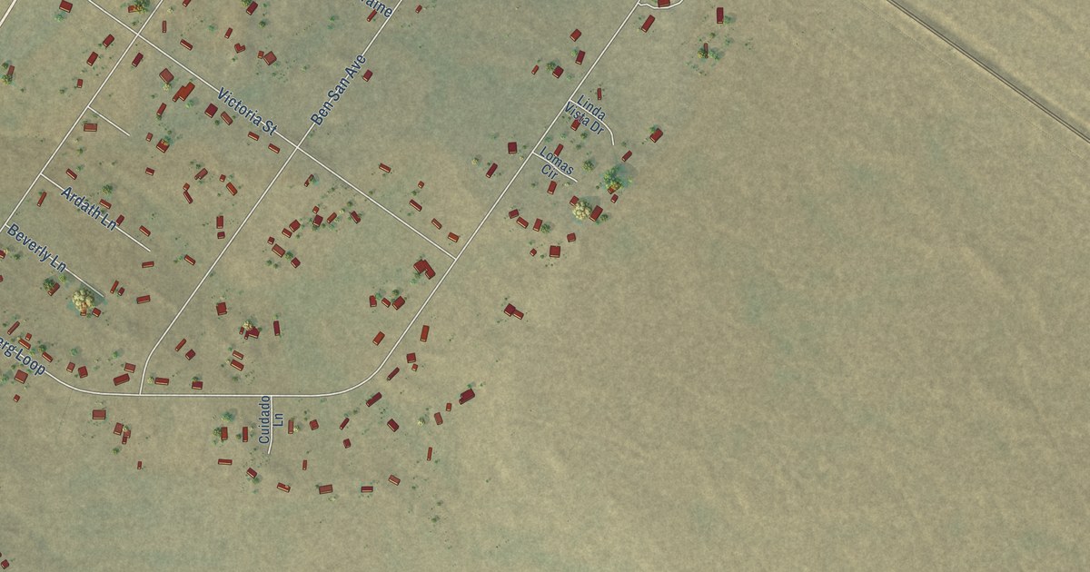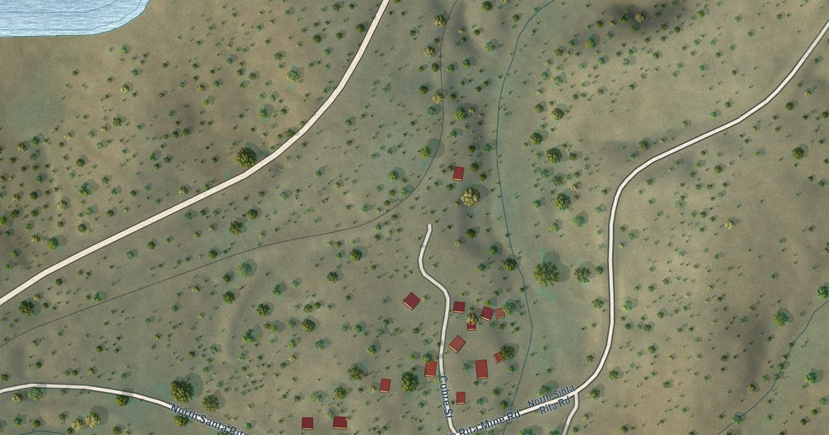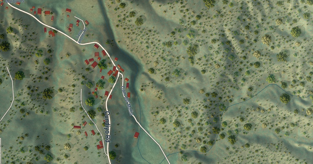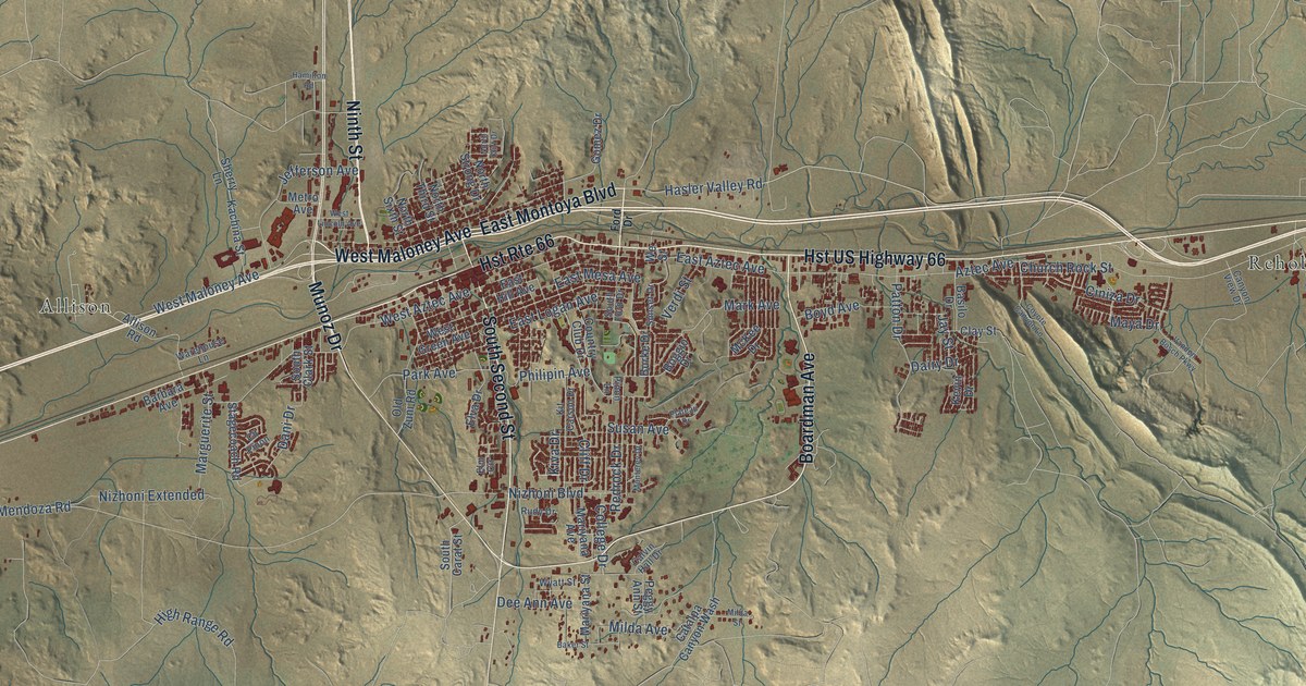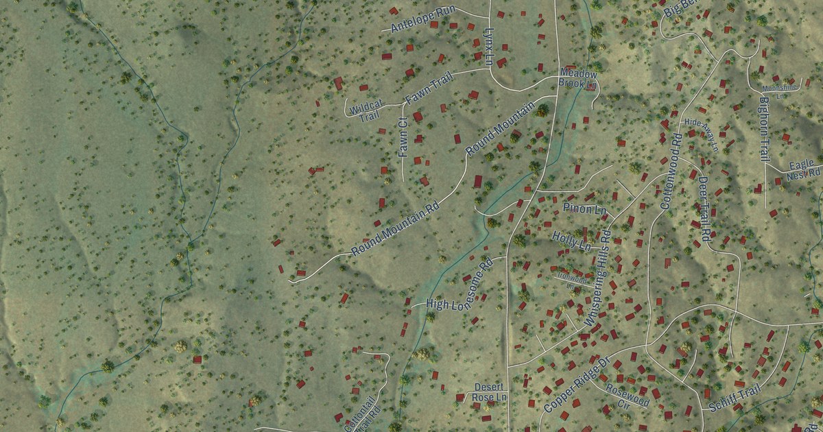
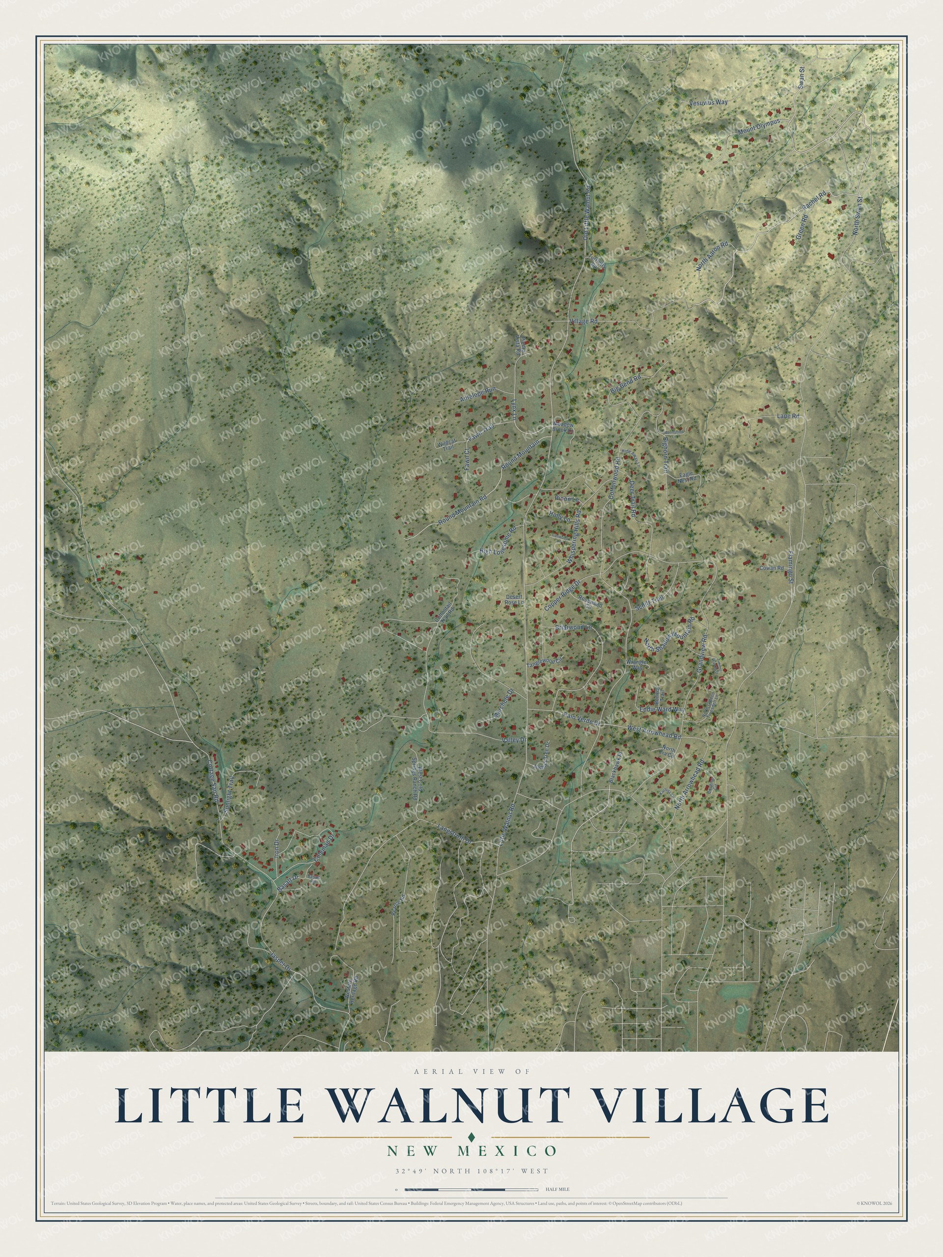
This beautifully detailed map of Little Walnut Village, New Mexico was created in 2026 using aerial imagery combined with modern topographical, census, street and landmark data. It's a modern aerial view of Little Walnut Village in Grant County, New Mexico, that combines modern data with a vintage aesthetic. The roads feature printed names, and if you look closely you can find your exact house accurately shown in its correct location.
Explore an aerial view of Little Walnut Village, New Mexico
On this map you'll find North Swan Street, Rachel Road, Lynx Lane, West Arrowhead Road, Old Little Walnut Road, Cottage San Road, Cottonwood Road, Grandview Road, Little Walnut Road, Valley Drive, Round Mountain, Round Mountain Road, and more. Each red shape is a building, so zoom in on the preview and look for yours.
Little Walnut Village is a community in Grant County. The Census Bureau counted 1,386 people here in 2020. Little Walnut Village sits about 3 miles north of Silver City, 5 miles southwest of Pinos Altos and 5 miles northwest of Rosedale. The map prints the town name in its title panel, with the coordinates below it.
Take a closer look at the Little Walnut Village map
Names on this map
These names are printed on this map.
Streets and roads: North Swan Street, Rachel Road, Lynx Lane, West Arrowhead Road, Old Little Walnut Road, Cottage San Road, Cottonwood Road, Grandview Road, Little Walnut Road, Valley Drive, Round Mountain, Round Mountain Road.
More street names, A to Z
Antelope Run, Basalt Drive, Basalt Road, Big Bend Road, Bighorn Trail, Blackhawk Place, Bonney Trail, Briarwood Lane, Cochise Circle, Coleman Drive, Copper Ridge Drive, Cottontail Trail Road, Cowan Road, Deer Trail Road, Desert Rose Lane, Eagle Nest Road, Eddie Ward Way, Fawn Court, Fawn Trail, Flamingo Street, Green Road, Hide Away Lane, High Lonesome Road, Holly Lane, Iron Drive, Ironwood Lane, Jasper Drive, Joshua Tree Drive, Kachina Circle, Lane Road, Langstroth Drive, Marchele Drive, Meadow Brook Lane, Moonshine Lane, Mount Olympus, North Aaron Road, North Arrowhead Road, North Gideon Truesdell Lane, North Shadow Mountain Road, North Zia Circle, Palo Verde Drive, Pearce Road, Piedra Vista Road, Pinon Lane, Rosewood Circle, Schiff Trail, Sunlight Trail, Swan Street, Tanglewood Circle, Timmer Way East, Turrietts Road, Vesuvius Way, Village Road, West Cold Springs Ranch Road, Western Heritage Road, Whispering Hills Road, Wildcat Trail, Wrangler Way.
See it on a wall
The Little Walnut Village map as a framed print. Swipe for more.


Created by KNOWOL in 2026. The buildings are small red shapes, the roads carry their printed names, and shaded relief shows the shape of the land. The title panel reads "AERIAL VIEW OF LITTLE WALNUT VILLAGE, NEW MEXICO" with 32°49' NORTH 108°17' WEST.
It looks right in a kitchen, an office or a den, and it's a gift for anyone who grew up in Little Walnut Village or moved away. Open the preview and find your street. See sizes and frames for the Little Walnut Village map.