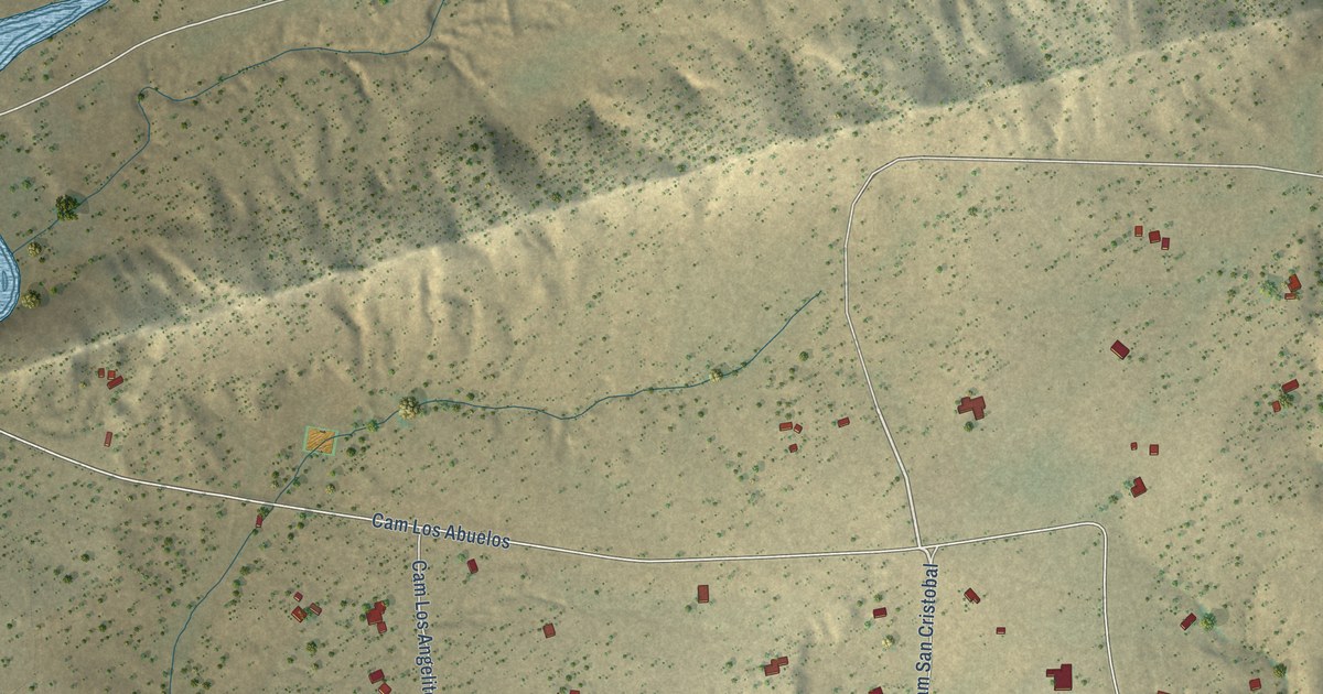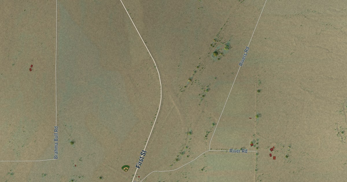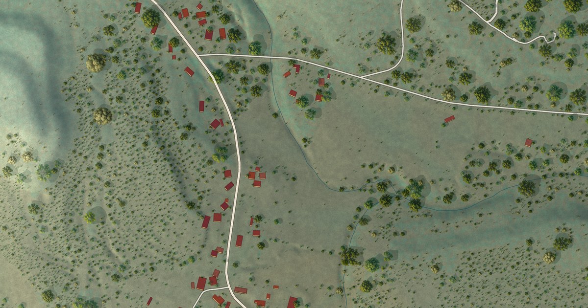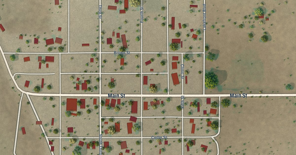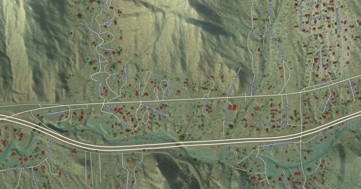
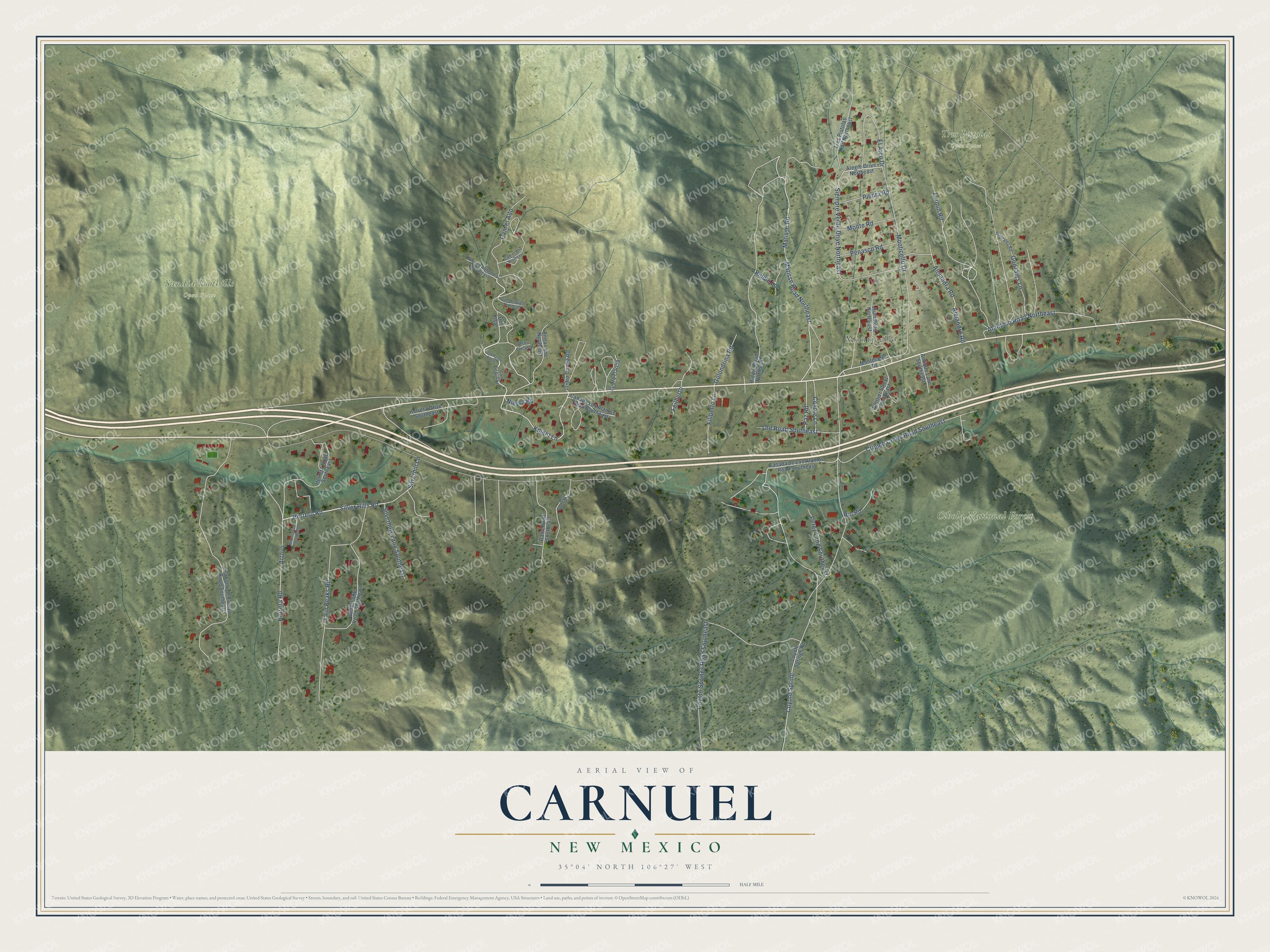
This beautifully detailed map of Carnuel, New Mexico was created in 2026 using aerial imagery combined with modern topographical, census, street and landmark data. It's a modern aerial view of Carnuel in Bernalillo County, New Mexico, that combines modern data with a vintage aesthetic. The roads feature printed names, and if you look closely you can find your exact house accurately shown in its correct location.
Explore an aerial view of Carnuel, New Mexico
On this map you'll find Monticello, Cibola National Forest, Sandia Foothills Open Space, Tres Pistolas Open Space, Cam el Alto, Knight Lane, Coyote Spring, Herrero Road, Silver Hills Road, Matisse Road Northeast, Herrera Road, Coyote Springs Road Southeast, and more. Each red shape is a building, so zoom in on the preview and look for yours.
Carnuel is a community in Bernalillo County. The Census Bureau counted 1,019 people here in 2020. Carnuel sits about 5 miles west of Tijeras, 6 miles southwest of Cedar Crest and 6 miles east of Kirtland AFB. The map prints the town name in its title panel, with the coordinates below it.
Take a closer look at the Carnuel map
Names on this map
These names are printed on this map.
Places: Monticello, Cibola National Forest, Sandia Foothills Open Space and Tres Pistolas Open Space.
Streets and roads: Cam el Alto, Knight Lane, Coyote Spring, Herrero Road, Silver Hills Road, Matisse Road Northeast, Herrera Road, Coyote Springs Road Southeast, Matisse Road, Monticello Drive, Cripple Creek Road Southeast, Siempre Verde Drive Northeast.
More street names, A to Z
Alegre Drive Northeast, Alejandra Road, Alejandro Road, Anita Lane Northeast, Antique Lane Southeast, Arroyo, Atanacio Road Northeast, Avenue Almendro Northeast, Caballo de Fuerza Road Southeast, Cam del Cielo Northeast, Cam el Alto Northeast, Cam Segundo, Canada de Los Alamos Road Southeast, Canada Los Alamos Road Southeast, Com Paseo Corte, Coyote Lane, Coyote Springs Road, Dans Road Southeast, Del Oste, Desert Sky Road Southeast, El Arco Drive, Feilberto, Fermin Road, Filiberto Lane, Golondrina Road, Gonzales Lane, Gonzalez Road, Herrera Drive Southeast, Herrera Lane Southeast, Herrera Road Southeast, Isidro Garcia, Isidro Garcia Road, Juan Road Northeast, Los Garcias Lane, Montecello Drive, Monte Road, Nieves Road, Old Road Southeast, Paz Road, Penasco Road, Perez Lane Southeast, Piedra Road, Pso Circulo, Riddle Lane, Riddle Road Northeast, Rio Road, Silverhill Lane, Silverhills Lane Southeast, Tres Pistolas Trail Northeast, Twin Peaks Road, Whittier Street Southeast.
See it on a wall
The Carnuel map as a framed print. Swipe for more.


Created by KNOWOL in 2026. The buildings are small red shapes, the roads carry their printed names, and shaded relief shows the shape of the land. The title panel reads "AERIAL VIEW OF CARNUEL, NEW MEXICO" with 35°04' NORTH 106°27' WEST.
Hang it in the hallway, the office or the cabin, or give it to someone who left Carnuel and still calls it home. Open the preview and look for a street you know. See sizes and frames for the Carnuel map.