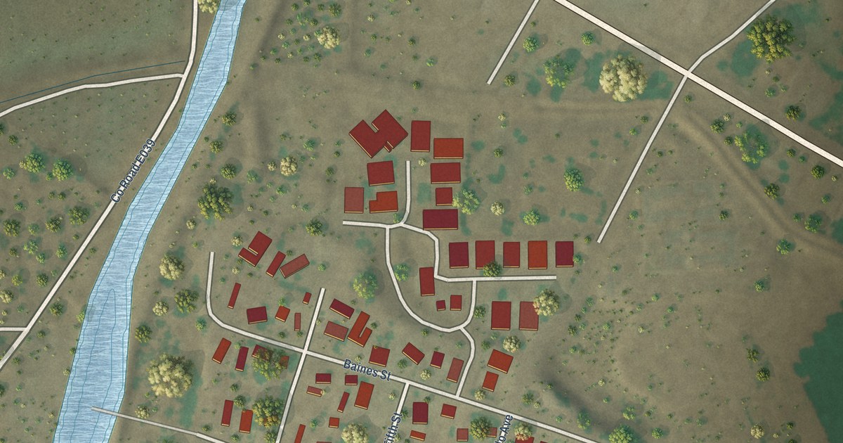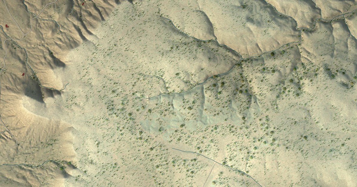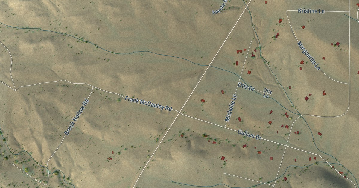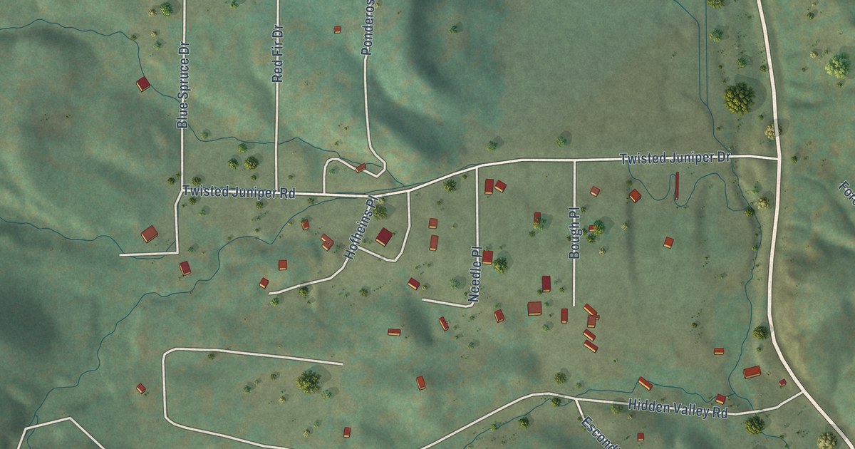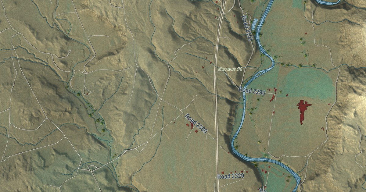
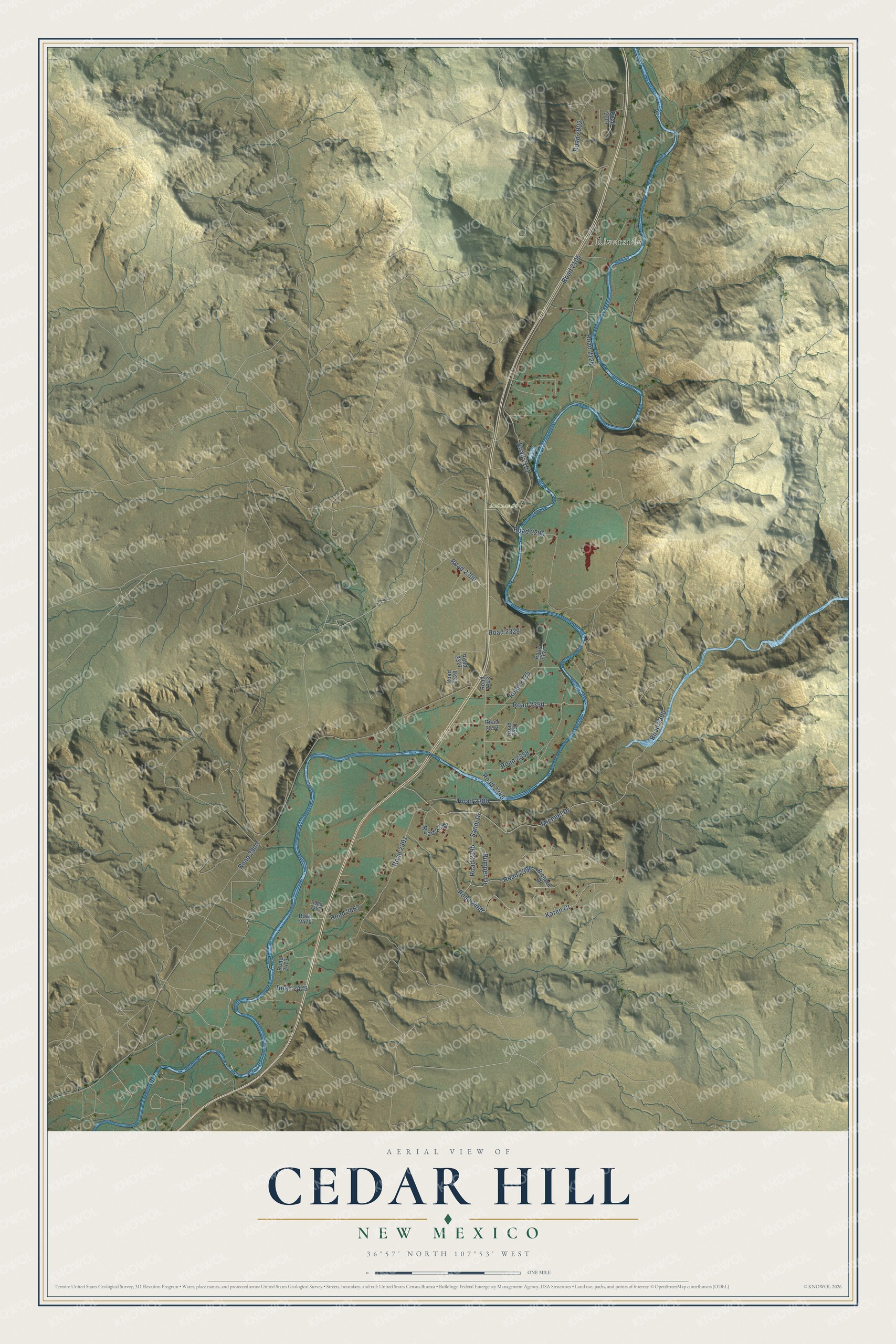
This beautifully detailed map of Cedar Hill, New Mexico was created in 2026 using aerial imagery combined with modern topographical, census, street and landmark data. It's a modern aerial view of Cedar Hill in San Juan County, New Mexico, that combines modern data with a vintage aesthetic. The roads feature printed names, and if you look closely you can find your exact house accurately shown in its correct location.
Explore an aerial view of Cedar Hill, New Mexico
On this map you'll find Riverside, Animas #4, Road 2350, Road 2390, Michael Drive, Road 2105, Road 2002, Karen Court, Road 2400, Road 2345, Road 2329, Road 2290, and more. Each red shape is a building, so zoom in on the preview and look for yours.
Cedar Hill has a story worth telling. Cedar Hill was once known as Cox's Crossing. Sometime between 1887 and 1892, members of the local Literacy Society wrote names on slips of paper and drew the winner from a hat, and the name drawn, Cedar Hill, had been submitted by Emma Tinker. The name fits its setting, beside the Animas River about 10 miles northeast of Aztec, near the Colorado border. That's from the Place Names of New Mexico by Robert Julyan.
Cedar Hill is a community in San Juan County. The Census Bureau counted 1,130 people here in 2020.
Take a closer look at the Cedar Hill map
Names on this map
These names are printed on this map.
Places: Riverside and Animas #4.
Streets and roads: Road 2350, Road 2390, Michael Drive, Road 2105, Road 2002, Karen Court, Road 2400, Road 2345, Road 2329, Road 2290, Road 2900, Road 2300.
More street names, A to Z
Bumper Drive, Richard Drive, Road 2001, Road 2101, Road 2125, Road 2327, Road 2328, Road 2335, Road 2337, Road 2343, Road 2351, Road 2352, Road 2358, Road 2380, Road 2391, Road 2393, Road 2395, Road 2396, Road 2467, Road 2468, Road 2470, Road 2473, Road 2475, Sandi Drive.
See it on a wall
The Cedar Hill map as a framed print. Swipe for more.


Created by KNOWOL in 2026. The buildings are small red shapes, the roads carry their printed names, and shaded relief shows the shape of the land. The title panel reads "AERIAL VIEW OF CEDAR HILL, NEW MEXICO" with 36°57' NORTH 107°53' WEST.
It looks right in a kitchen, an office or a den, and it's a gift for anyone who grew up in Cedar Hill or moved away. Open the preview and find your street. See sizes and frames for the Cedar Hill map.