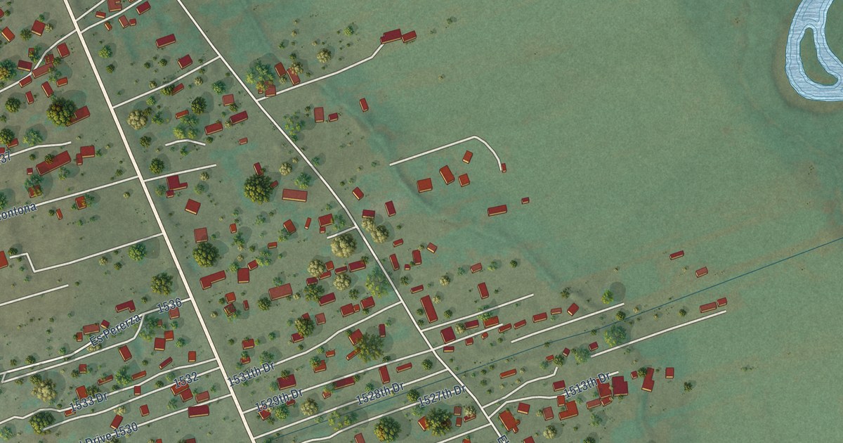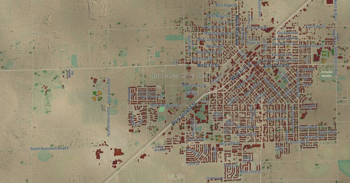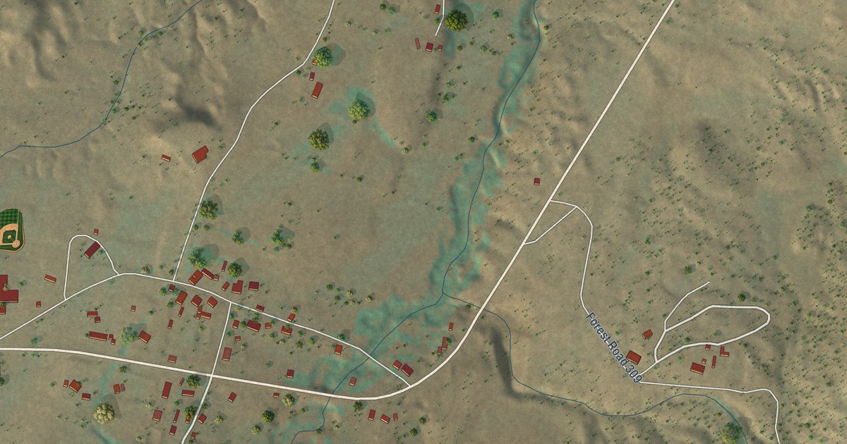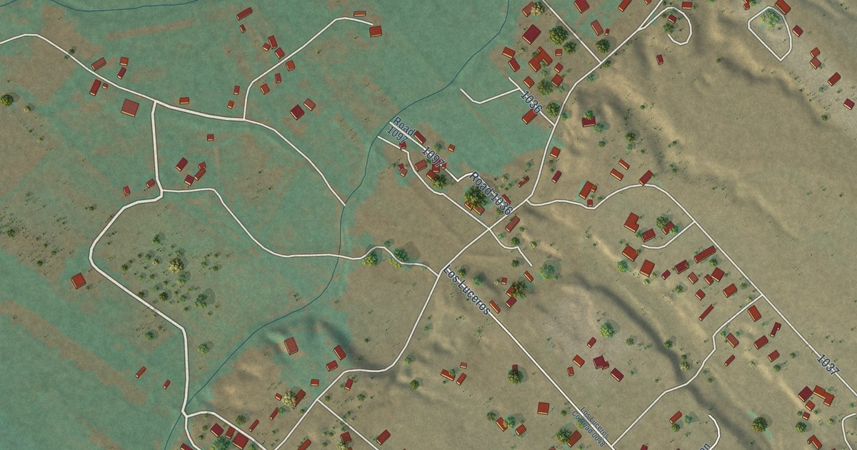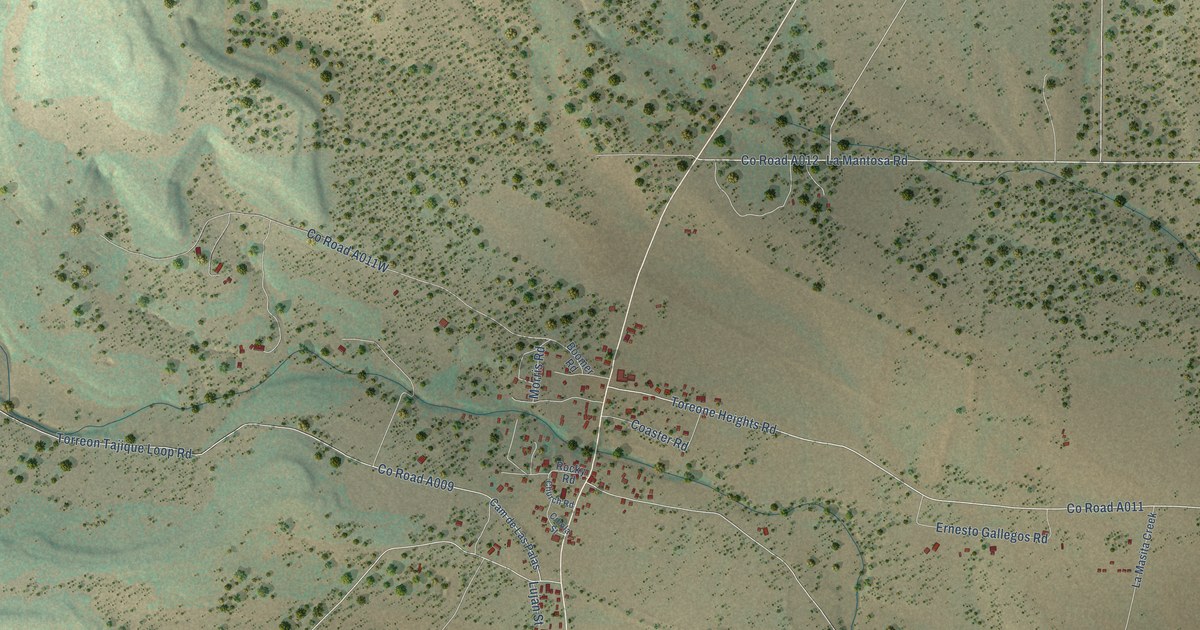
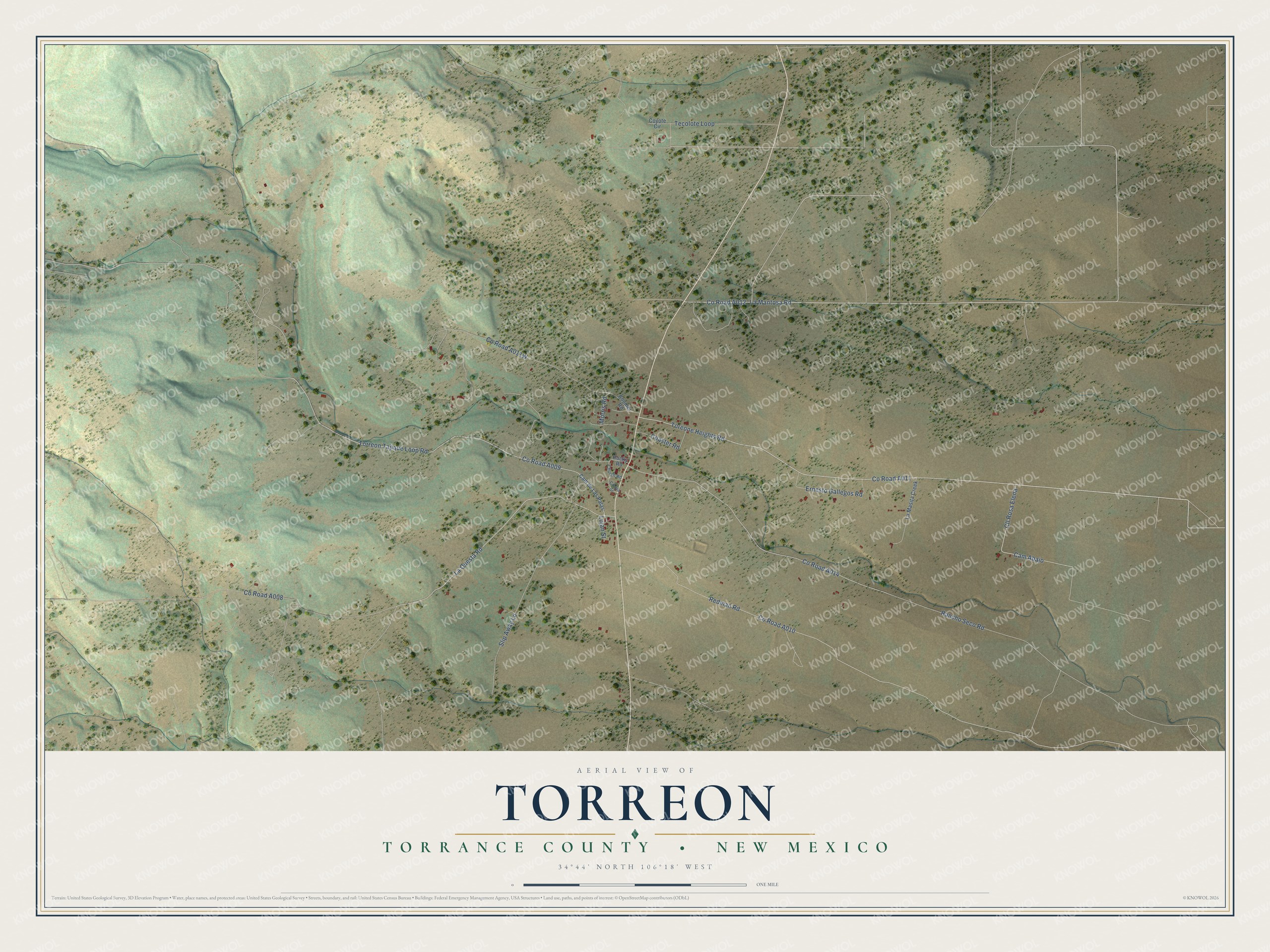
This beautifully detailed map of Torreon, New Mexico was created in 2026 using aerial imagery combined with modern topographical, census, street and landmark data. It's a modern aerial view of Torreon in Torrance County, New Mexico, that combines modern data with a vintage aesthetic. The roads feature printed names, and if you look closely you can find your exact house accurately shown in its correct location.
Explore an aerial view of Torreon, New Mexico
On this map you'll find Cll Rosa Elena, La Mantosa Road, Tecolote Loop, Co Road A011, Cam Abajo, Co Road A009, La Questa Road, Co Road A010, Redman Road, Rancho Seco Road, Co Road A008, Toreone Heights Road, and more. Each red shape is a building, so zoom in on the preview and look for yours.
Torreon has a story worth telling. Torreon means a tower or fortified building, and the name was already tied to the place when Captain Bartolome Baca, later governor of New Mexico, asked for the land in 1819 and ran his ranch from Torreon Springs. Apache raids forced him to leave around 1830, and in 1841 the land was granted again to the community of Torreon. By 1850, Torreon, Tajique and Chilili had become the leading towns of the western Salinas basin. That's from the National Park Service.
Torreon is a community in Torrance County. The Census Bureau counted 167 people here in 2020.
Take a closer look at the Torreon map
Names on this map
These names are printed on this map.
Streets and roads: Cll Rosa Elena, La Mantosa Road, Tecolote Loop, Cam Abajo, La Questa Road, Redman Road, Rancho Seco Road, Toreone Heights Road, Torreon Tajique Loop Road, Ernesto Gallegos Road, Slip Away Lane, Coaster Road.
More street names, A to Z
Boomer Road, Cam de Las Palas, Church Road, Cibola Street, Coyote Circle, La Masita Creek, Lujan Street, Morris Road, Rocky Road.
See it on a wall
The Torreon map as a framed print. Swipe for more.


Created by KNOWOL in 2026. The buildings are small red shapes, the roads carry their printed names, and shaded relief shows the shape of the land. The title panel reads "AERIAL VIEW OF TORREON, TORRANCE COUNTY • NEW MEXICO" with 34°44' NORTH 106°18' WEST.
It looks right in a kitchen, an office or a den, and it's a gift for anyone who grew up in Torreon or moved away. Open the preview and find your street. See sizes and frames for the Torreon map.