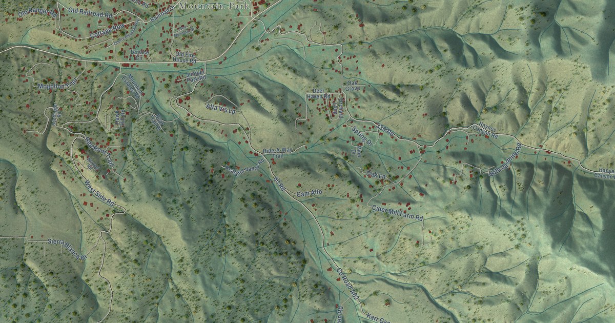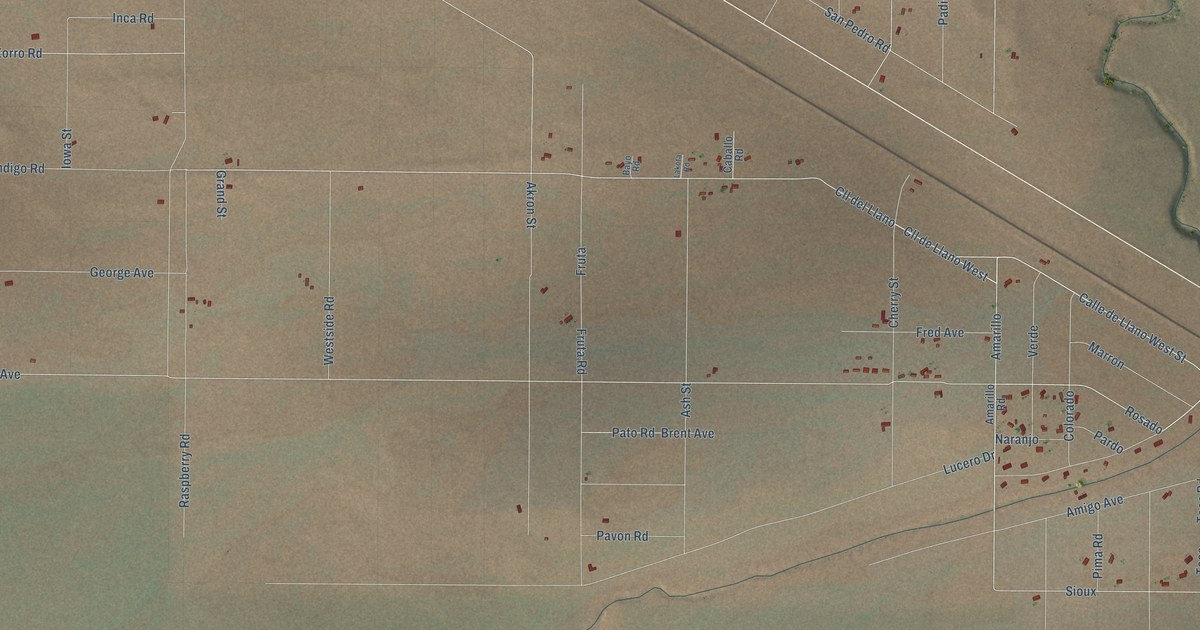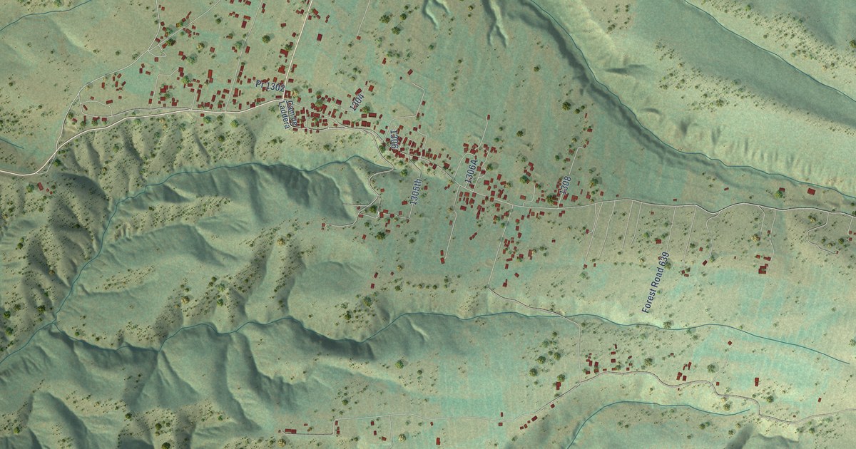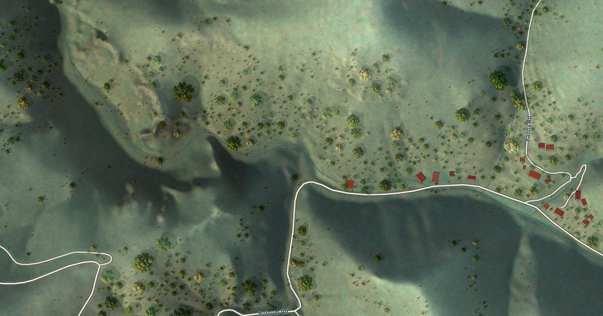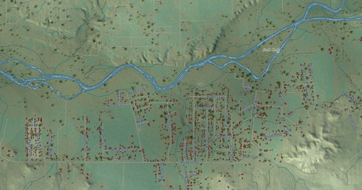
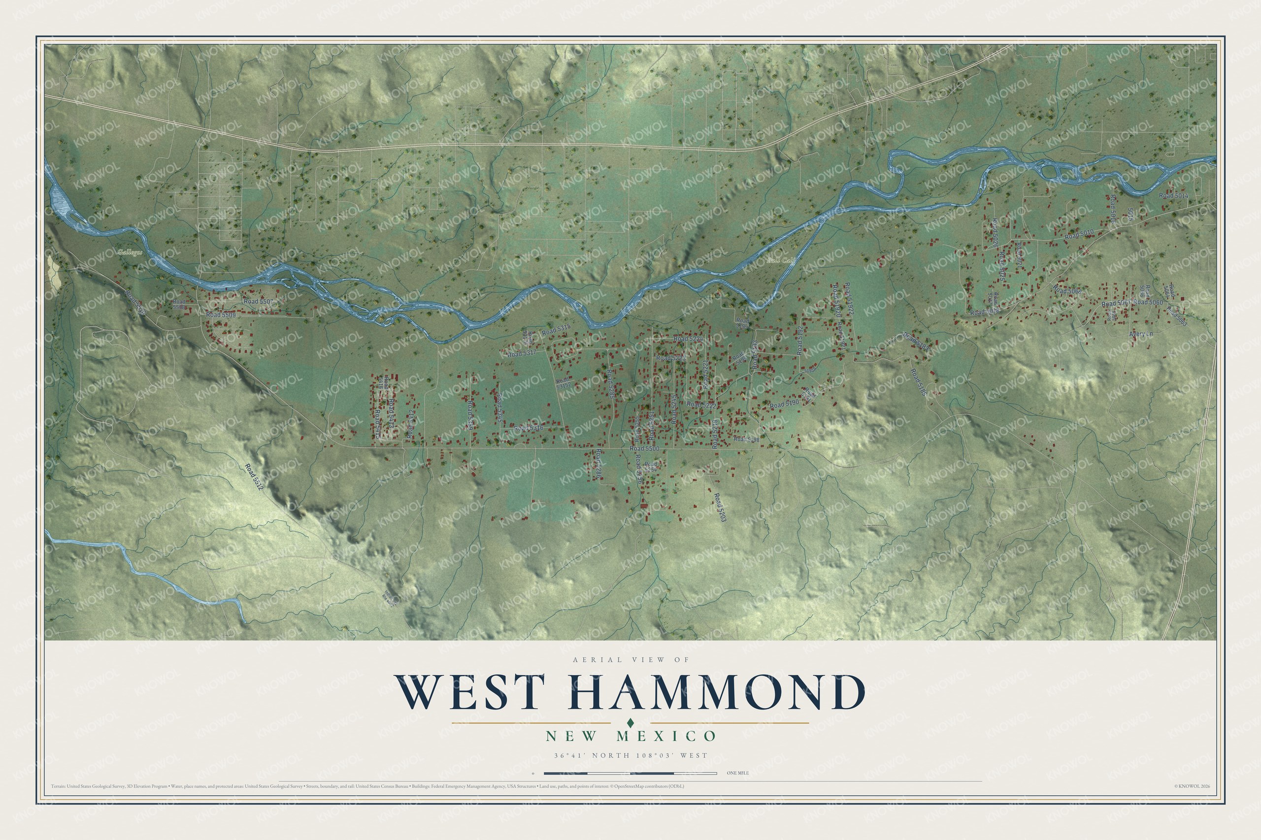
This beautifully detailed map of West Hammond, New Mexico was created in 2026 using aerial imagery combined with modern topographical, census, street and landmark data. It's a modern aerial view of West Hammond in San Juan County, New Mexico, that combines modern data with a vintage aesthetic. The roads feature printed names, and if you look closely you can find your exact house accurately shown in its correct location.
Explore an aerial view of West Hammond, New Mexico
On this map you'll find Bull Calf, Gallegos, Road 5192, Road 5010, Road 5500, Road 5512, Road 5018, Road 5285, Road 5190, Road 5193, Road 5315, Road 5185, and more. Each red shape is a building, so zoom in on the preview and look for yours.
Here is a piece of West Hammond history. The little community and ward across the San Juan River from Bloomfield took its name from Francis A. Hammond of Huntsville, Utah, the Latter-day Saint leader who organized it. After runaway horses threw him from his buggy and killed him, the settlers honored him by calling their home Hammond. A shortage of water later emptied Hammond while Bloomfield grew. The building of Navajo Dam in 1962 brought water and prosperity back. That's from the Daughters of Utah Pioneers.
West Hammond is a community in San Juan County. The Census Bureau counted 2,724 people here in 2020.
Take a closer look at the West Hammond map
Names on this map
These names are printed on this map.
Places: Bull Calf and Gallegos.
Streets and roads: Road 5192, Road 5010, Road 5500, Road 5512, Road 5018, Road 5285, Road 5190, Road 5193, Road 5315, Road 5185, Road 5067, Road 5251.
More street names, A to Z
Avery Lane, Indian Svc Route 4002, Road 5014, Road 5016, Road 5017, Road 5021, Road 5025, Road 5026, Road 5060, Road 5063, Road 5064, Road 5065, Road 5066, Road 5068, Road 5183, Road 5191, Road 5194, Road 5195, Road 5198, Road 5203, Road 5219, Road 5221, Road 5222, Road 5223, Road 5224, Road 5245, Road 5254, Road 5255, Road 5256, Road 5286, Road 5316, Road 5317, Road 5345, Road 5359, Road 5412, Road 5413, Road 5415, Road 5416, Road 5507, Road 5508, Road 5509, Road 5510, Road 51920, Road 51921, Road 51922, Road 53152, Road 53170.
See it on a wall
The West Hammond map as a framed print. Swipe for more.


Created by KNOWOL in 2026. The buildings are small red shapes, the roads carry their printed names, and shaded relief shows the shape of the land. The title panel reads "AERIAL VIEW OF WEST HAMMOND, NEW MEXICO" with 36°41' NORTH 108°03' WEST.
It suits a den, a classroom or a front hall, and it makes a gift for anyone with West Hammond roots. Open the preview and find the block you know. See sizes and frames for the West Hammond map.