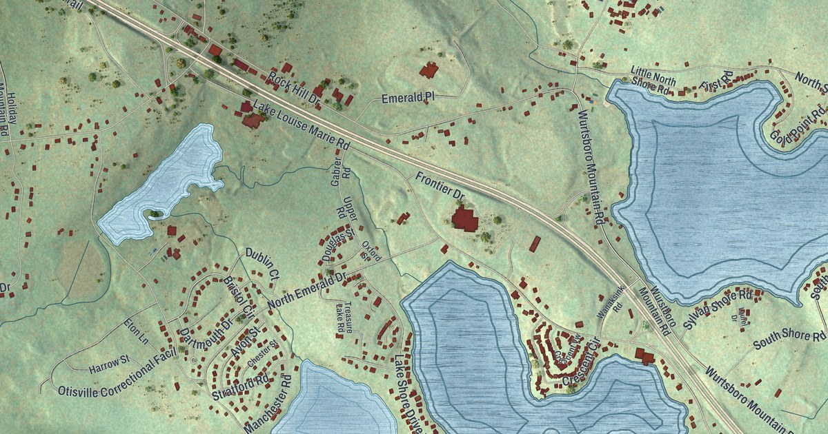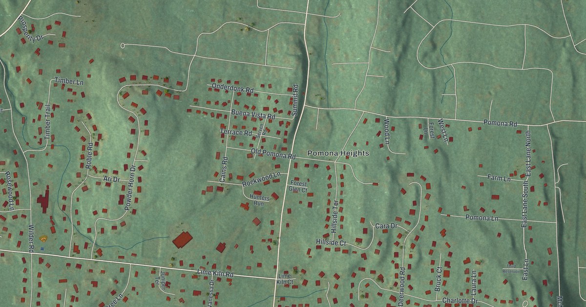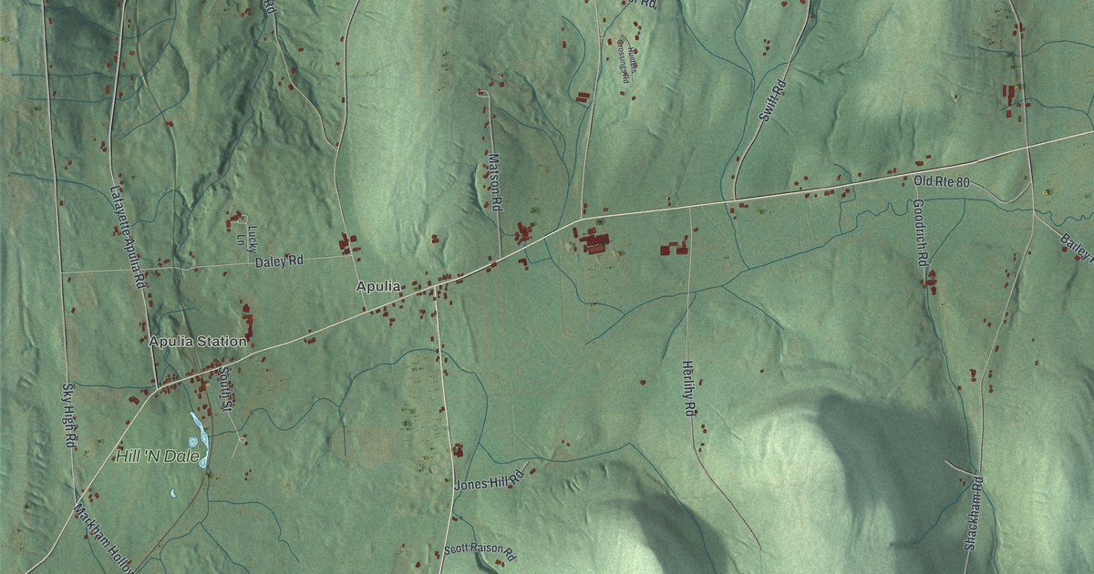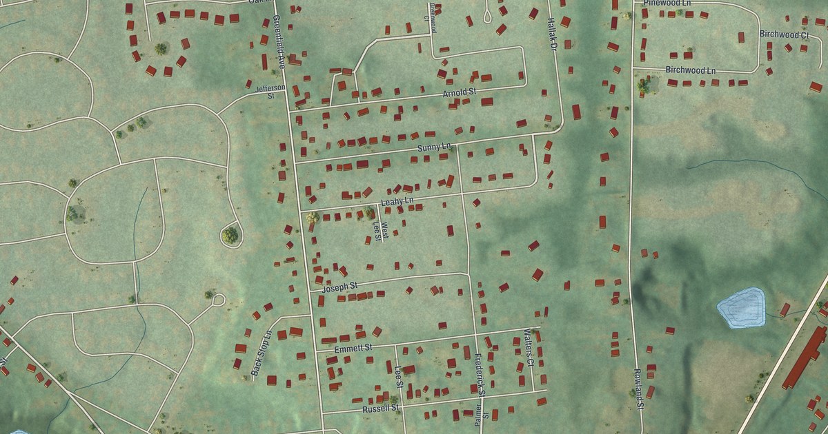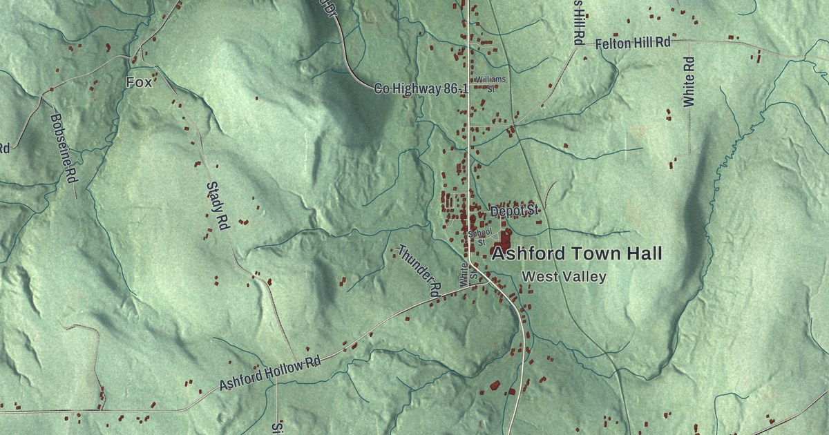
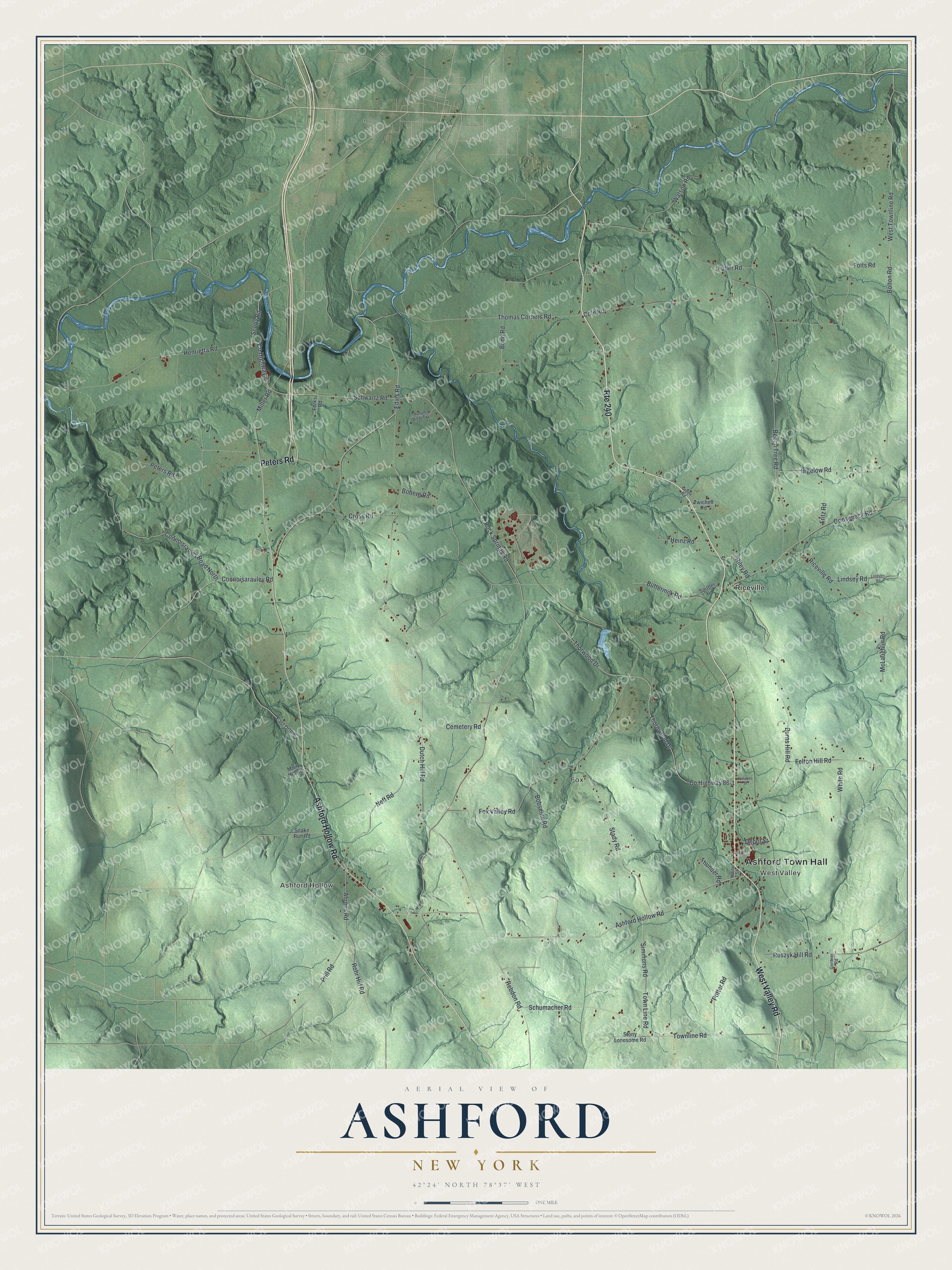
This beautifully detailed map of Ashford, New York was created in 2026 using aerial imagery combined with modern topographical, census, street and landmark data. It’s a one-of-a-kind view of Ashford that combines accurate data with a vintage aesthetic. The map shows every building in its true location, many of the roads carry their names, and the shaded topographic relief shows the shape of the land.
Explore an aerial view of Ashford, New York
On the map you’ll find Ashford Town Hall, West Valley, Ashford Hollow, Fox, and Riceville, along with Peters Road, Ashford Hollow Road, Scoby Road, Connoisrauley Road, and more. If you look closely you can even find your house accurately drawn in its correct location. Zoom in on the preview to look for yours.
Did You Know?
Settlers first came to Ashford around 1816. The town was founded in 1824, carved out of Ellicottville. Its founder was Henry Frank Sr., a veteran of the Revolutionary War who came from Philadelphia.
Take a closer look at the Ashford map
Names on this map
These names are printed on this map.
Places: Ashford Town Hall, West Valley, Ashford Hollow, Fox and Riceville.
Streets and roads: West Valley Road, Route 240, Peters Road, Ashford Hollow Road, County Highway 77, Scoby Road, Connoisrauley Road North, Miller Road, Town Line Road, Bigelow Road, West Townline Road, Connoisarauley Road.
More street names, A to Z
Ahrens Road, Autumn View Trail, Beech Tree Road, Boberg Road, Bobseine Road, Bolton Road, Bond Road, Burns Hill Road, Buttermilk Road, Cemetery Road, Cole Road, County Highway 86-1, Cross Road, Depot Street, Dutch Hill Road, East Otto Road, Edies Road, Felton Hill Road, Folts Road, Forks Road, Fox Valley Road, Fritz Road, Fuller Road, Gentner Road, Gooseneck Road, Green Road, Hebdon Road, Heinz Road, Henrietta Road, Lindsey Road, Lindsley Road, McLaughlin Road, Monk Hill Road, Neff Road, Potter Road, Prill Road, Riceville Road, Riley Road, Rock Springs Road, Rohr Hill Road, Roszyk Hill Road, School Street, Schumacher Road, Schwartz Road, Simmons Road, Snake Run Road, Spittler Road, Stady Road, Stony Lonesome Road, Thomas Corners Road, Thornwood Drive, Thorwood Drive, Thunder Road, Townline Road, Twichell Road, Watson Road, White Road, White Street, Williams Street.
See it on a wall
The Ashford map as a framed print. Swipe for more.


This beautifully detailed map of Ashford makes an attractive addition to your office, library, or den, and it can even be used to teach children the geography and history of the area. It also makes a great gift for anyone with Ashford roots. When you’re done exploring, click here to get your copy of the Ashford map.