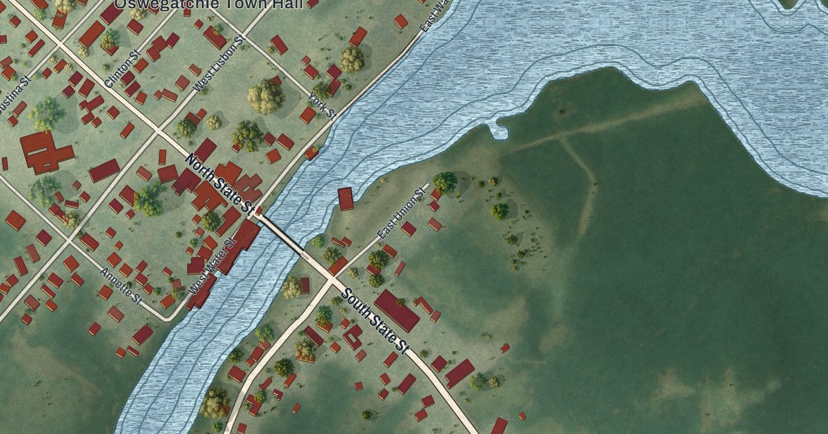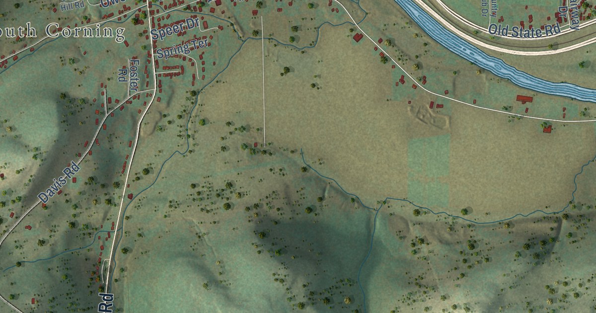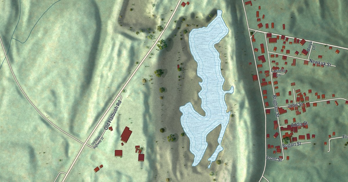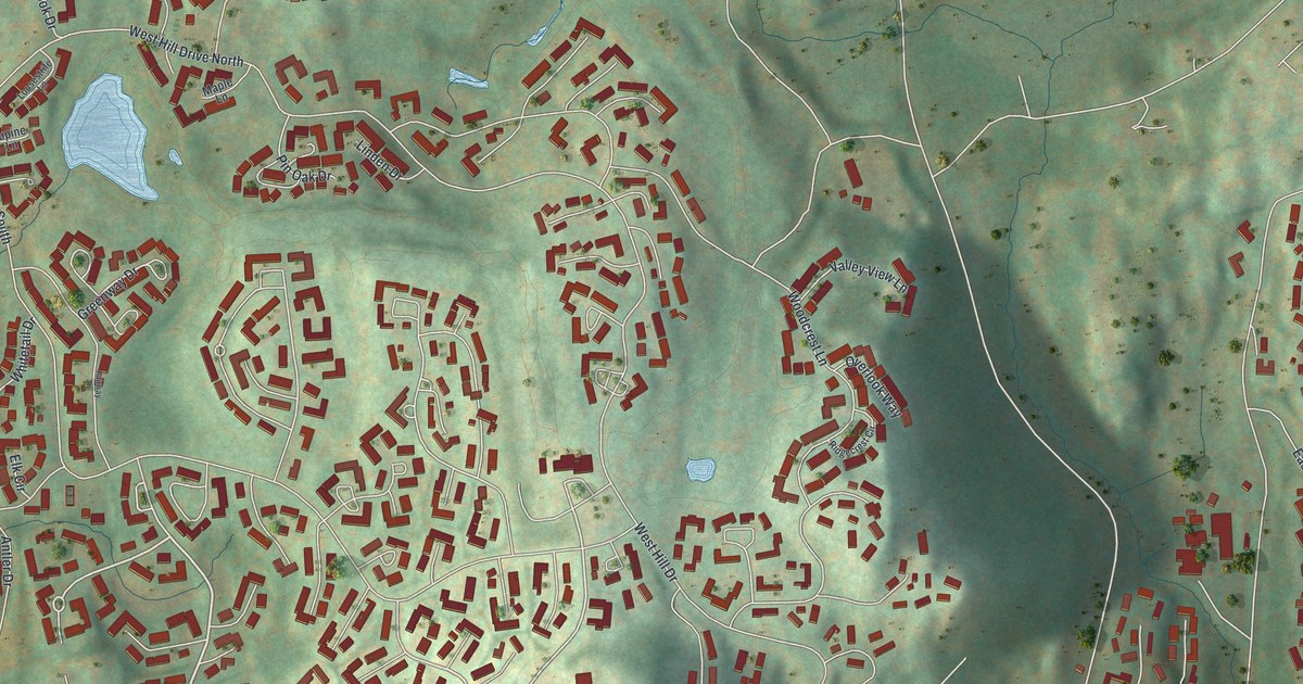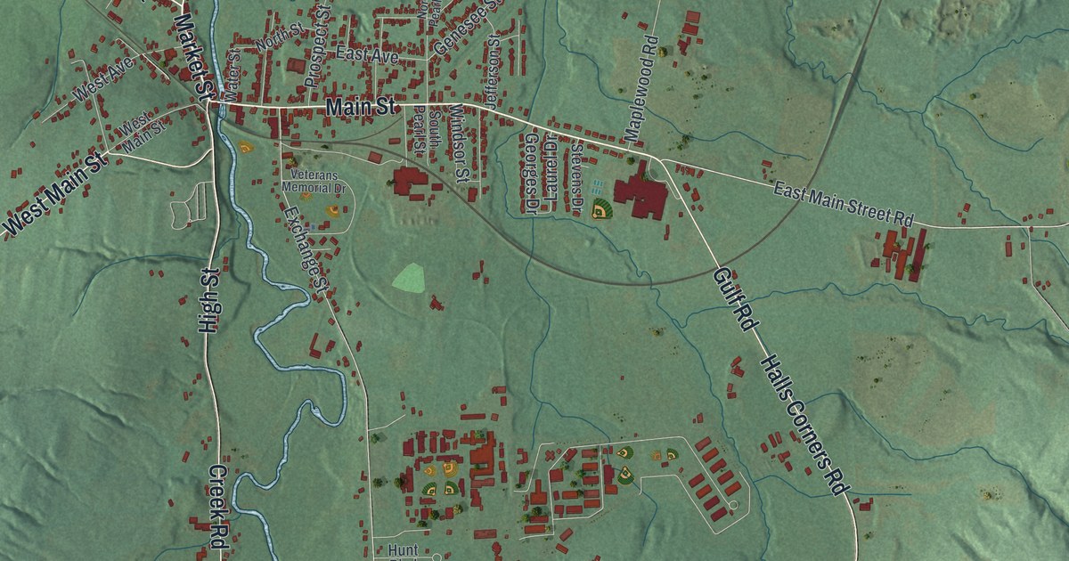
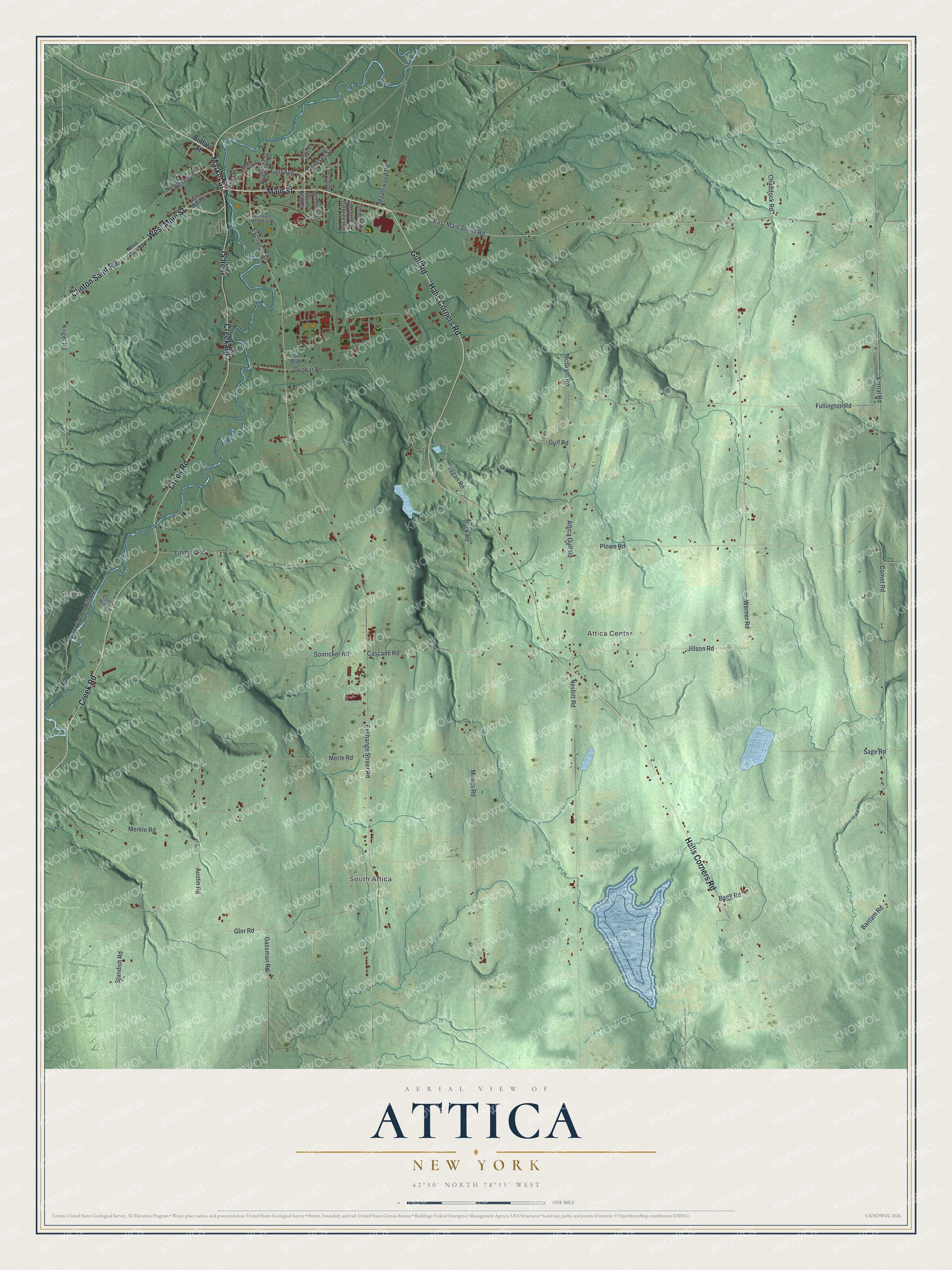
This beautifully detailed map of Attica, New York was created in 2026 using aerial imagery combined with modern topographical, census, street and landmark data. It’s a one-of-a-kind view of Attica that combines accurate data with a vintage aesthetic. The map shows every building in its true location, many of the roads carry their names, and the shaded topographic relief shows the shape of the land.
Explore an aerial view of Attica, New York
On the map you’ll find Sierks, South Attica, and Attica Center, along with Main Street, Market Street, High Street, Clinton Saint Road, Halls Corners Road, and more. If you look closely you can even find your house accurately drawn in its correct location. Zoom in on the preview to look for yours.
Did You Know?
Attica has been a prison town since the 1930s. On September 9, 1971, more than 1,200 inmates took control of Attica Correctional Facility. They wanted to bargain for better living conditions. Four days later, officers, state police and the National Guard retook the prison. In all, 43 men died.
Take a closer look at the Attica map
Names on this map
These names are printed on this map.
Places: Sierks, South Attica and Attica Center.
Streets and roads: Main Street, Market Street, High Street, West Main Street, Clinton Saint Road, Halls Corners Road, Creek Road, Gulf Road, East Main Street Road, Vernal Road, Exchange Street Road, Cascade Road.
More street names, A to Z
Attica Gulf Road, Austin Road, Bagg Road, Bantam Road, Beck Road, Buffalo Street, Chaddock Road, Comet Road, Cotton Hill Road, Dunbar Road, East Avenue, Exchange Street, Fullington Road, Gassman Road, Genesee Street, Georges Drive, Glor Road, Hunt Boulevard, Jefferson Street, Jillson Road, Kriger Road, Laurel Drive, Lindsey Road, Logan Road, Lower Cotton Hill Road, Maplewood Road, McGrath Road, Mengs Road, Merkle Road, Merle Road, Nesbitt Road, North Pearl Street, North Street, Plowe Road, Prospect Street, Sage Road, Sonricker Road, South Pearl Street, Standish Road, Stevens Drive, Veterans Memorial Drive, Water Street, Werner Road, West Avenue, West Main Road, Windsor Street.
See it on a wall
The Attica map as a framed print. Swipe for more.


This beautifully detailed map of Attica makes an attractive addition to your office, library, or den, and it can even be used to teach children the geography and history of the area. It also makes a great gift for anyone who grew up in Attica or moved away. When you’re done exploring, click here to get your copy of the Attica map.