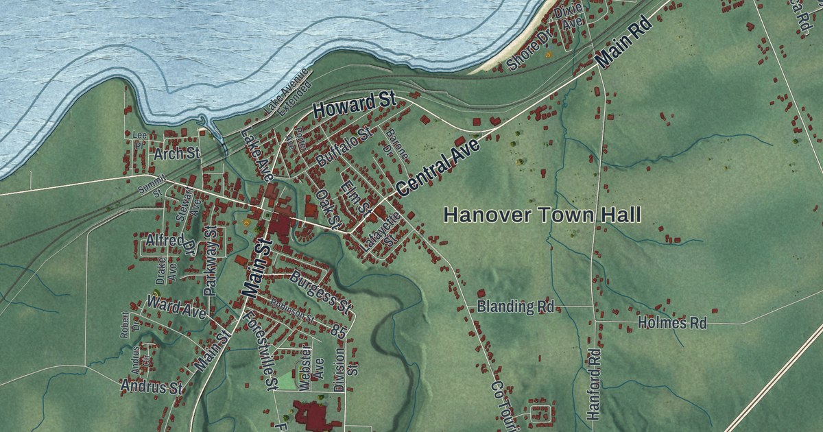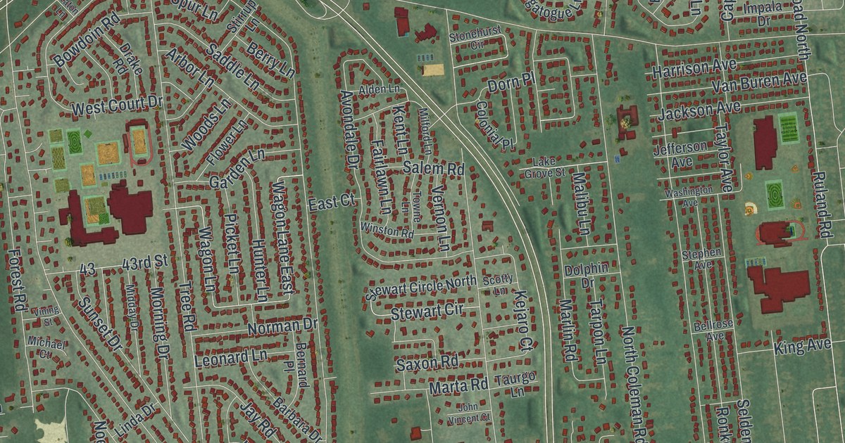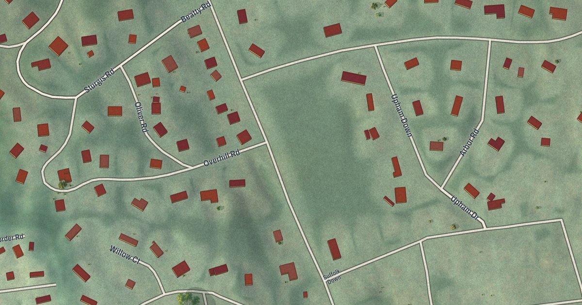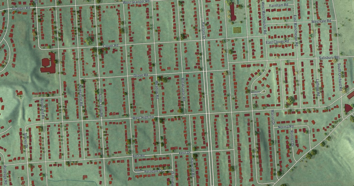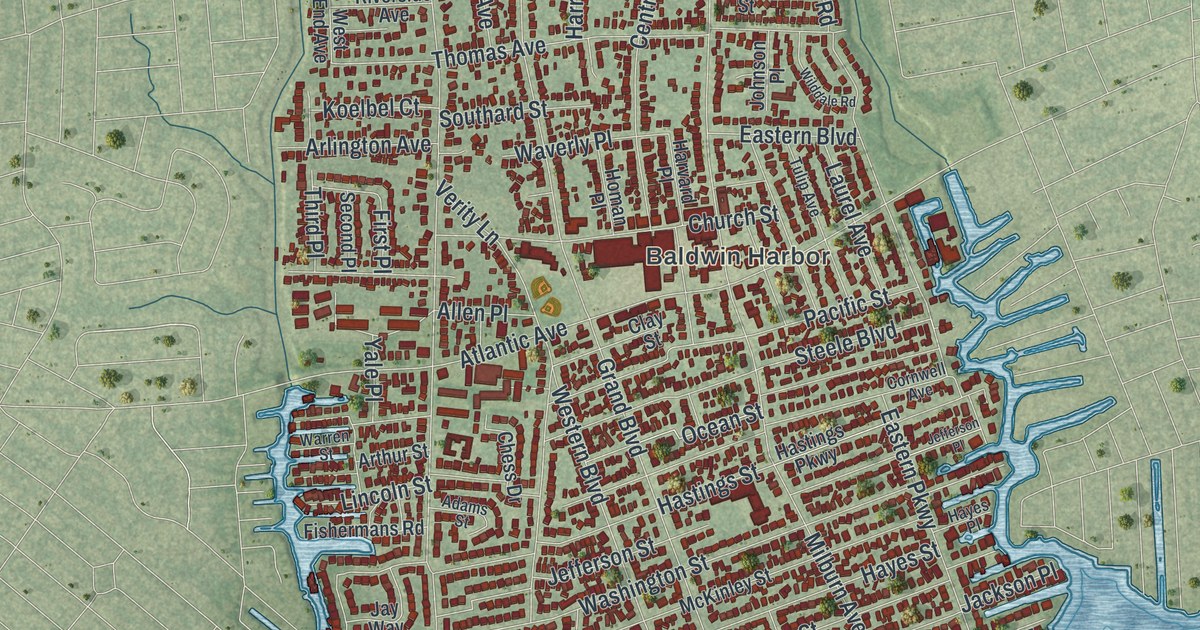
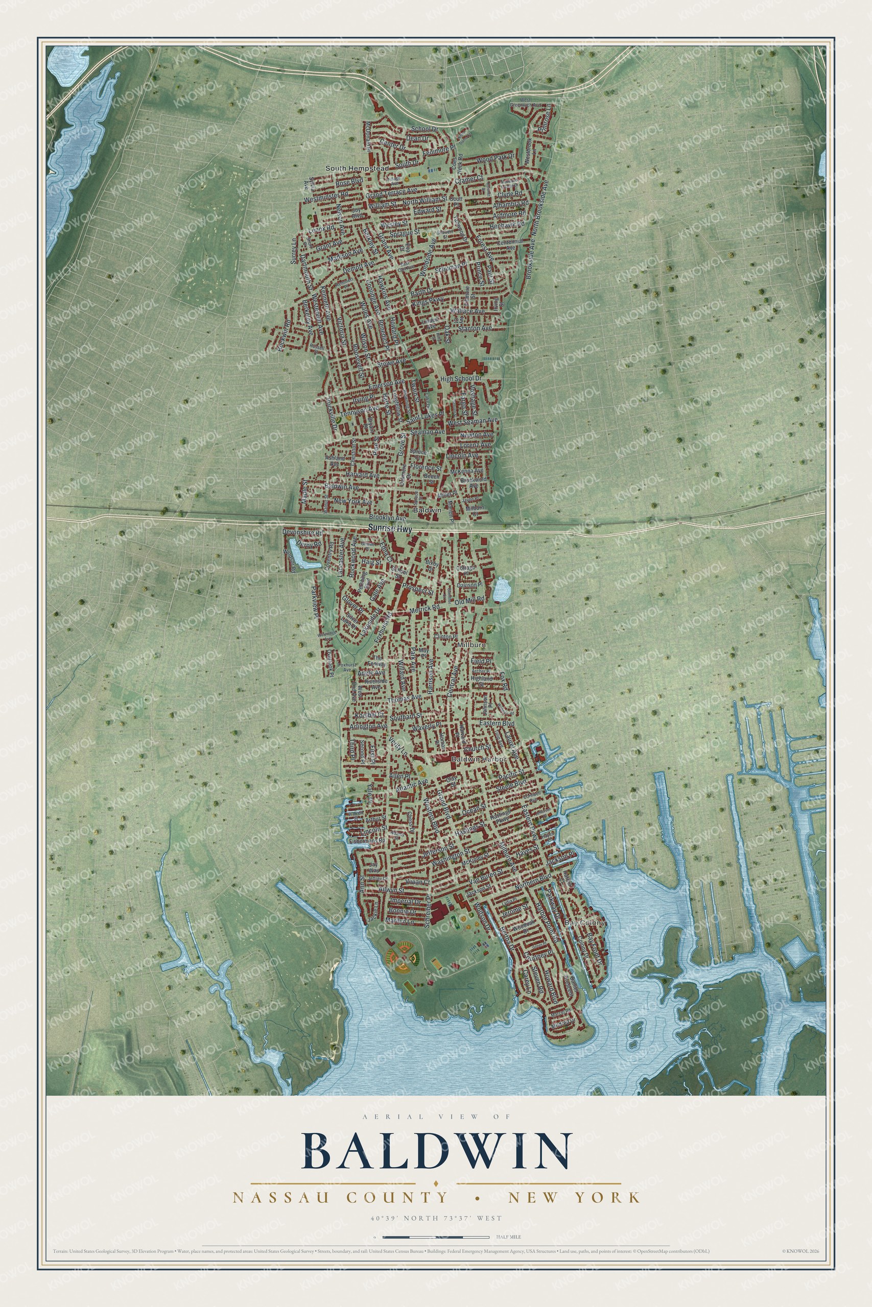
This beautifully detailed map of Baldwin, Nassau County, New York was created in 2026 using aerial imagery combined with modern topographical, census, street and landmark data. It’s a one-of-a-kind view of Baldwin that combines accurate data with a vintage aesthetic. The map shows every building in its true location, many of the roads carry their names, and the shaded topographic relief shows the shape of the land.
Explore an aerial view of Baldwin, Nassau County, New York
On the map you’ll find Bay Colony, Baldwin Harbor, Millburn, and South Hempstead, along with Sunrise Highway, Grand Avenue, Milburn Avenue, Central Avenue, Merrick Road, and more. If you look closely you can even find your house accurately drawn in its correct location. Zoom in on the preview to look for yours.
Did You Know?
The village was founded in 1855 as Baldwinsville. It honored Thomas Baldwin, the leading merchant of Milburn, who ran a general store and a hotel. The Postal Service shortened the name to Baldwins to avoid confusion with an upstate village. In 1892 the name officially became Baldwin.
Take a closer look at the Baldwin, Nassau County map
Names on this map
These names are printed on this map.
Places: Bay Colony, Baldwin Harbor, Millburn, Baldwin and South Hempstead.
Streets and roads: Sunrise Highway, Grand Avenue, Milburn Avenue, Central Avenue, Merrick Road, Demott Avenue, Atlantic Avenue, North Brookside Avenue, Bertha Drive, Stanton Avenue, Brooklyn Avenue, Brookside Avenue.
More street names, A to Z
Adams Street, Adele Avenue, Alhambra Road, Allen Place, Allwyn Street, Ann Street, Archer Place, Ardmore Road, Arlington Avenue, Arthur Street, Ashland Avenue, Baldwin Avenue, Barth Drive, Bay Front Drive, Beech Street, Benedict Place, Berkeley Avenue, Berkley Street, Bixby Drive, Bonnie Drive, Brookwold Avenue, Browning Street, Bryant Place, Carey Lane, Centennial Avenue, Center Drive, Chess Drive, Chestnut Street, Church Street, Clay Street, Clinton Place, Clyde Road, Coes Neck Road, Colony Drive, Coolidge Avenue, Cornwell Avenue, Coronet Drive, Cottage Place, Courtney Place, Coventry Road, Cramer Court, Daniel Crescent, Dartmouth Street, Davison Place, Dean Drive, Derby Road, Devonshire Road, East Carl Avenue, Eastern Boulevard, Eastern Parkway, Edna Court, Edward Street, Emerson Avenue, Eva Court, Fargo Street, Fenimore Place, Field Place, Fillmore Street, First Place, Fishermans Road, Florence Street, Forest Avenue, Foxhurst Avenue, Foxhurst Road, Fox Road, Gale Avenue, Glover Place, Grand Boulevard, Grand Terrace Avenue, Grant Avenue, Green Place, Grimm Place, Grove Street, Guenther Court, Haig Street, Harbor Court, Harbor Point Road, Harrison Avenue, Harte Street, Harvard Avenue, Harvard Place, Hastings Parkway, Hastings Street, Hawkins Avenue, Hayes Place, Hayes Street, Henhawk Road, Highland Street, High School Drive, Holly Street, Homan Place, Howard Boulevard, Howard Place, Imperial Drive, Irving Place, Irving Street, Ivy Court, Jackie Lane, Jackson Place, Jackson Street, Jayne Place, Jay Way, Jefferson Place, Jefferson Street, Jeffrey Drive, Jerome Street, Johnson Place, Joy Boulevard, Kenneth Avenue, Kings Parkway, Koelbel Court, Lake Drive, Lakeside Drive, Lancaster Avenue, Laurel Avenue, Lenox Road, Lincoln Avenue, Lincoln Street, Linden Avenue, Longfellow Street, Lorenz Avenue, Lydia Place, Madison Avenue, Maple Street, Marcel Road, Marilyn Lane, Marion Place, May Place, McDonald Place, McKenna Avenue, McKinley Street, Milburn Court, Mildred Drive, Miller Place, Nelson Avenue, Newton Avenue, New York Avenue, Northern Boulevard, North William Street, Notre Dame Court, Oakmere Drive, Oak Street, Ocean Street, Old Mill Road, Overlook Place, Pacific Street, Park Avenue, Parkview Place, Parkway Drive, Paul Street, Pershing Boulevard, Pine Street, Primrose Lane, Prince Street, Prospect Street, Remmert Place, Riverside Avenue, Rockville Drive, Rockwin Road, Rockwood Avenue, Roosevelt Street, Rose Boulevard, Russell Street, Saint Lukes Place, Schoen Street, School Drive, School Street, Schreiber Place, Schuman Place, Scott Place, Seaman Avenue, Second Place, Short Place, Shubert Street, Silver Lake Place, Southard Street, South Drive, Sprague Street, Spruce Court, Spruce Street, Steele Boulevard, Steven Road, Stowe Avenue, Surrey Lane, Sylvia Avenue, Tanwood Drive, Tennyson Avenue, The Fenway, Third Place, Thomas Avenue, Tulip Avenue, Twain Street, Van Buren Street, Verity Lane, Victoria Street, Village Avenue, Vivian Court, Voshage Street, Wales Avenue, Wallace Avenue, Walnut Street, Warren Street, Washington Street, Wateredge Avenue, Waverly Place, Wesley Street, Westbrook Lane, West End Avenue, Western Boulevard, Westervelt Avenue, West Greenwich Avenue, Westminster Road, West Seaman Avenue, Wilddale Road, Willard Avenue, William Street, Wilson Street, Windsor Road, Wolfson Drive, Woodland Estates Drive, Woodoak Drive, Wood Park Drive, Woodside Avenue, Yale Place.
See it on a wall
The Baldwin, Nassau County map as a framed print. Swipe for more.


This beautifully detailed map of Baldwin, Nassau County makes an attractive addition to your office, library, or den, and it can even be used to teach children the geography and history of the area. It also makes a great gift for anyone with Baldwin roots. When you’re done exploring, click here to get your copy of the Baldwin, Nassau County map.