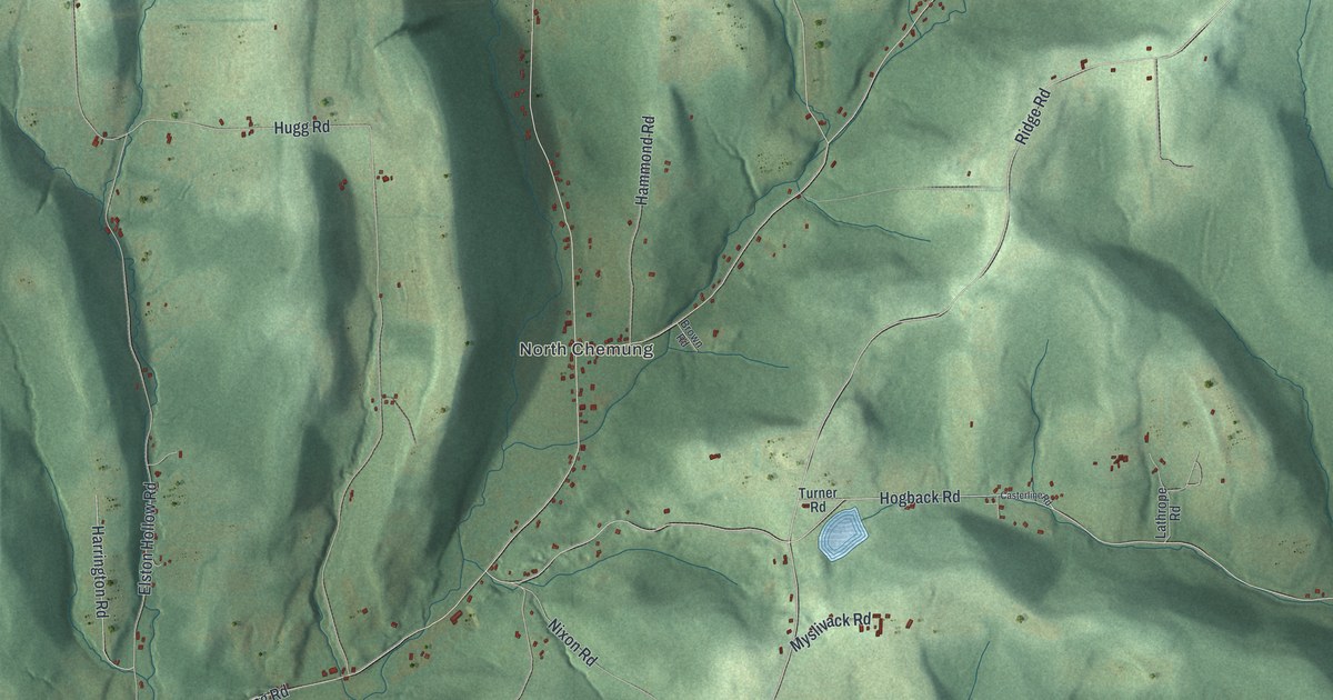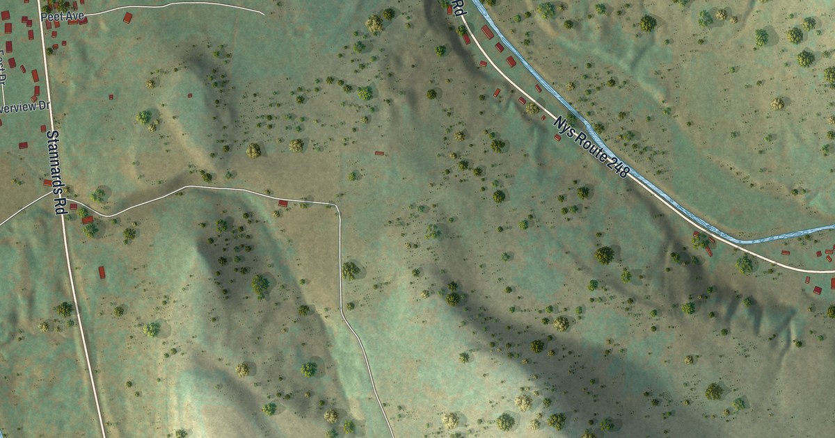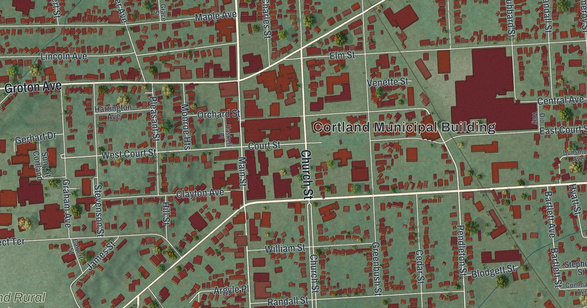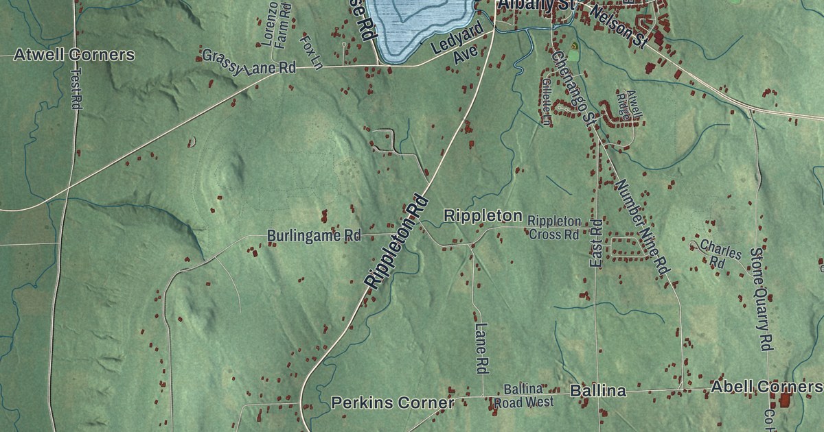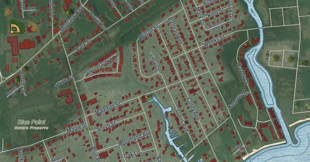
This beautifully detailed map of Blue Point, New York was created in 2026 using aerial imagery combined with modern topographical, census, street and landmark data. It’s a one-of-a-kind view of Blue Point that combines accurate data with a vintage aesthetic. The map shows every building in its true location, many of the roads carry their names, and the shaded topographic relief shows the shape of the land.
Explore an aerial view of Blue Point, New York
On the map you’ll find Harbor Drive, Avery Road, Edwards Lane, Middle Avenue, Bergen Lane, and more. If you look closely you can even find your house accurately drawn in its correct location. Zoom in on the preview to look for yours.
Take a closer look at the Blue Point map
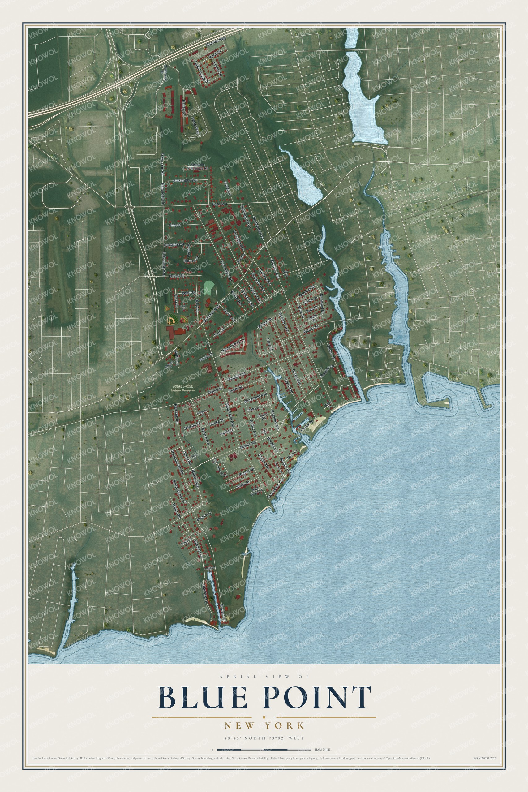
Names on this map
These names are printed on this map.
Places: Blue Point Nature Preserve.
Streets and roads: Harbor Drive, Avery Road, Edwards Lane, Middle Avenue, Bergen Lane, Montauk Highway, Eatondale Avenue, Davis Avenue, Mark Drive, Middle Road, Blue Point Avenue, Atlantic Avenue.
More street names, A to Z
Abrams Court, Alexander Avenue, Arthur Avenue, Avery Court, Avery Way, Barrow Place, Barry Lane, Barteau Avenue, Bayview Avenue, Beebe Place, Bell Avenue, Bergen Avenue, Blue Grass Lane, Bon Air Court, Bowne Avenue, Boylan Lane, Brook Avenue, Buffin Lane, Burchell Street, Clearview Place, Clubhouse Drive, Corey Avenue, Corky Court, Curtis Road, Danes Street, Dena Drive, Dietz Court, Division Avenue, Eatondale Drive, Edenville Patchogue Road, Forest Drive, Glades Road, Grandview Avenue, Hallett Court, Halley Drive, Harbour Drive, Hillside Avenue, Hill Street, Homan Avenue, Hubbard Court, Hunting Hill Drive, Kennedy Avenue, Kinn Street, Kuebler Street, Lacy Court, Lagoon Court, Lanes End, Madison Street, Maple Street, Martha Court, Meadow Lane, Namkee Lane, Namkee Road, Nelson Avenue, Nelson Court, Noble Street, North Boylan Lane, North Street, Northwood Lane, Norwood Drive, Oak Lane, Oakwood Street, Ocean Avenue, Oyster Cove Lane, Park Avenue, Park Street, Paumanake Road, Pine Street, Pleasant Avenue, Purick Street, Rebel Drive, Reinhardt Court, Richlee Street, Ritch Court, Rogers Street, Rowland Avenue, Scott Street, Smith Street, Sunrise Highway, Town Line Road, Tuthill Creek Drive, Valley Lane, Weeks Street, Willyn Road, Wilson Street, Woodland Avenue.
See it on a wall
The Blue Point map as a framed print. Swipe for more.


This beautifully detailed map of Blue Point makes an attractive addition to your office, library, or den, and it can even be used to teach children the geography and history of the area. It also makes a great gift for anyone with Blue Point roots. When you’re done exploring, click here to get your copy of the Blue Point map.