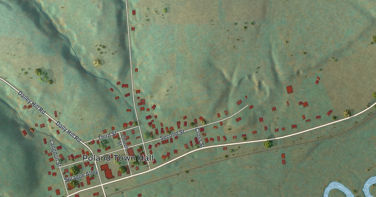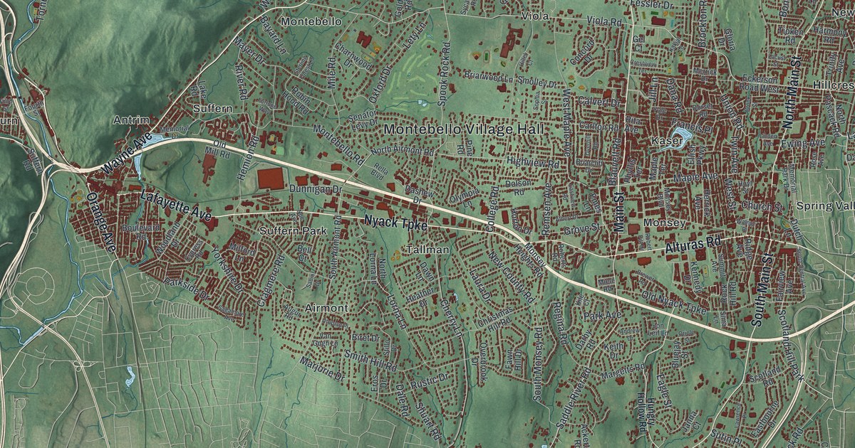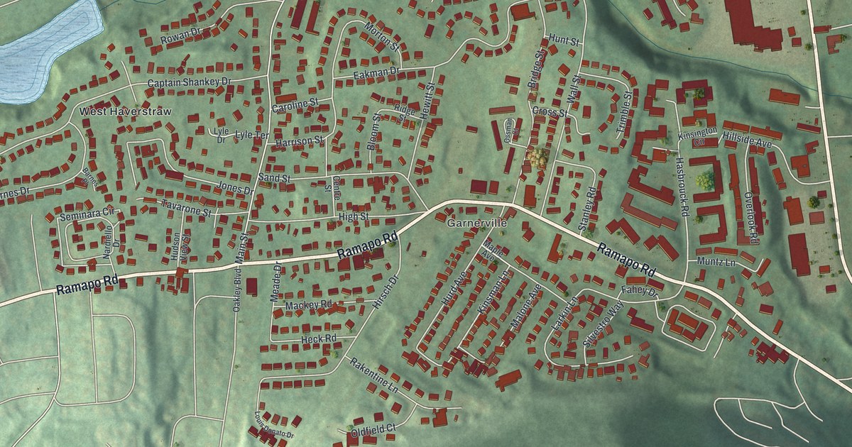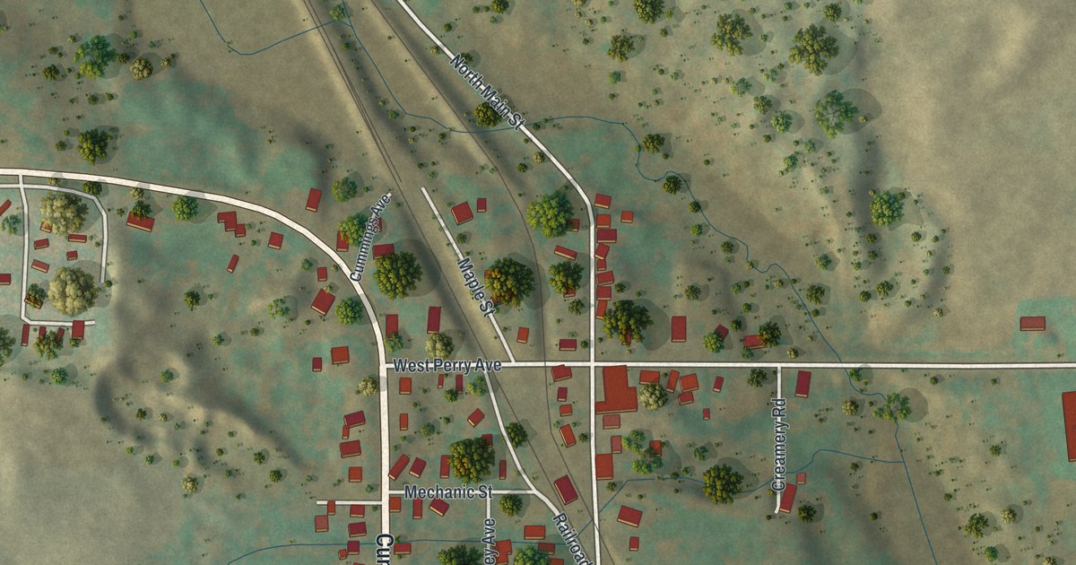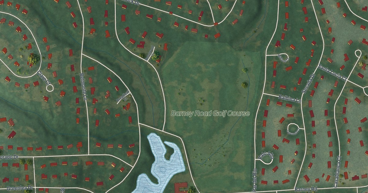
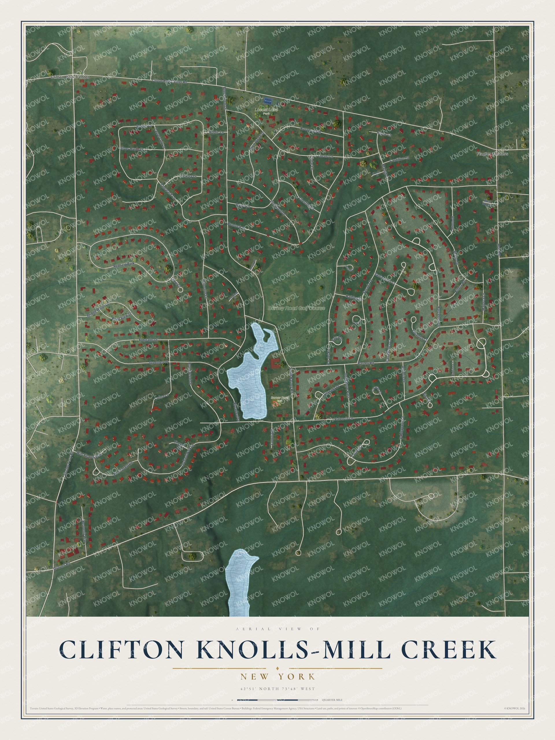
This beautifully detailed map of Clifton Knolls-Mill Creek, New York was created in 2026 using aerial imagery combined with modern topographical, census, street and landmark data. It's a modern aerial view of Clifton Knolls-Mill Creek in Saratoga County, New York, that combines modern data with a vintage aesthetic. The roads feature printed names, and if you look closely you can find your exact house accurately shown in its correct location.
Explore an aerial view of Clifton Knolls-Mill Creek, New York
On this map you'll find Flagler Corners, Locust Lane Park, Barney Road Park, Clifton Park Center, Barney Road Golf Course, Valencia Lane, Barcelona Drive, Valdepenas Lane, Pine Forest Lane, Granada Drive, Vischer Ferry Road, Grooms Road, and more. Each red shape is a building, so zoom in on the preview and look for yours.
Clifton Knolls-Mill Creek is a community in Saratoga County. The Census Bureau counted 3,048 people here in 2020. Clifton Knolls-Mill Creek sits about 4 miles south of Country Knolls, 5 miles northeast of Niskayuna and 6 miles south of Round Lake. The map prints the town name in its title panel, with the coordinates below it.
Take a closer look at the Clifton Knolls-Mill Creek map
Names on this map
These names are printed on this map.
Places: Flagler Corners, Locust Lane Park, Barney Road Park, Clifton Park Center, Barney Road Golf Course and Redfield Park.
Streets and roads: Valencia Lane, Barcelona Drive, Valdepenas Lane, Pine Forest Lane, Granada Drive, Vischer Ferry Road, Grooms Road, Clifton Park Center Road, Moe Road, Par del Rio, Barney Road, Beechwood Drive.
More street names, A to Z
Almeria Drive, Aspen Lane, Balbina Lane, Beechwood Court, Belmonte Lane, Bilboa Road, Birch Wood Drive, Bridge Water Court, Broadleaf Court, Broadleaf Drive, Brookwood Drive, Caceras Court, Casablanca Court, Castillion Court, Cedar Lane, Chestnut Lane, Clare Court, Colina Lane, Cordoba Court, Cortes Court, Eldorado Drive, El Lobo Court, Greenlea Drive, Guadalupe Pass, Heavenly Way, Hemlock Drive, Hickory Drive, Juniper Drive, Laurel Oak Lane, Leuconia Court, Locust Lane, Madrid Court, Majorca Lane, Midland Court, Nina Court, Orchard Park Drive, Palo Alto, Payne Court, Pinewood Drive, Pond View Drive, Public Lane, Rodriso Court, Rosewood Drive, Santa Lucia Court, Secada Drive, Sevilla Drive, Silver Maple Drive, South Barney Road, Tamarack Lane, Torrero Drive, Vineyard Circle, West Sky Lane, Wild Flower Way, Zamora Drive.
See it on a wall
The Clifton Knolls-Mill Creek map as a framed print. Swipe for more.


Created by KNOWOL in 2026. The buildings are small red shapes, the roads carry their printed names, and shaded relief shows the shape of the land. The title panel reads "AERIAL VIEW OF CLIFTON KNOLLS-MILL CREEK, NEW YORK" with 42°51' NORTH 73°48' WEST.
It looks right in a kitchen, an office or a den, and it's a gift for anyone who grew up in Clifton Knolls-Mill Creek or moved away. Open the preview and find your street. See sizes and frames for the Clifton Knolls-Mill Creek map.