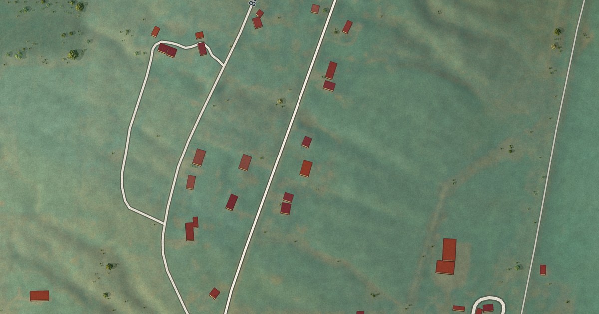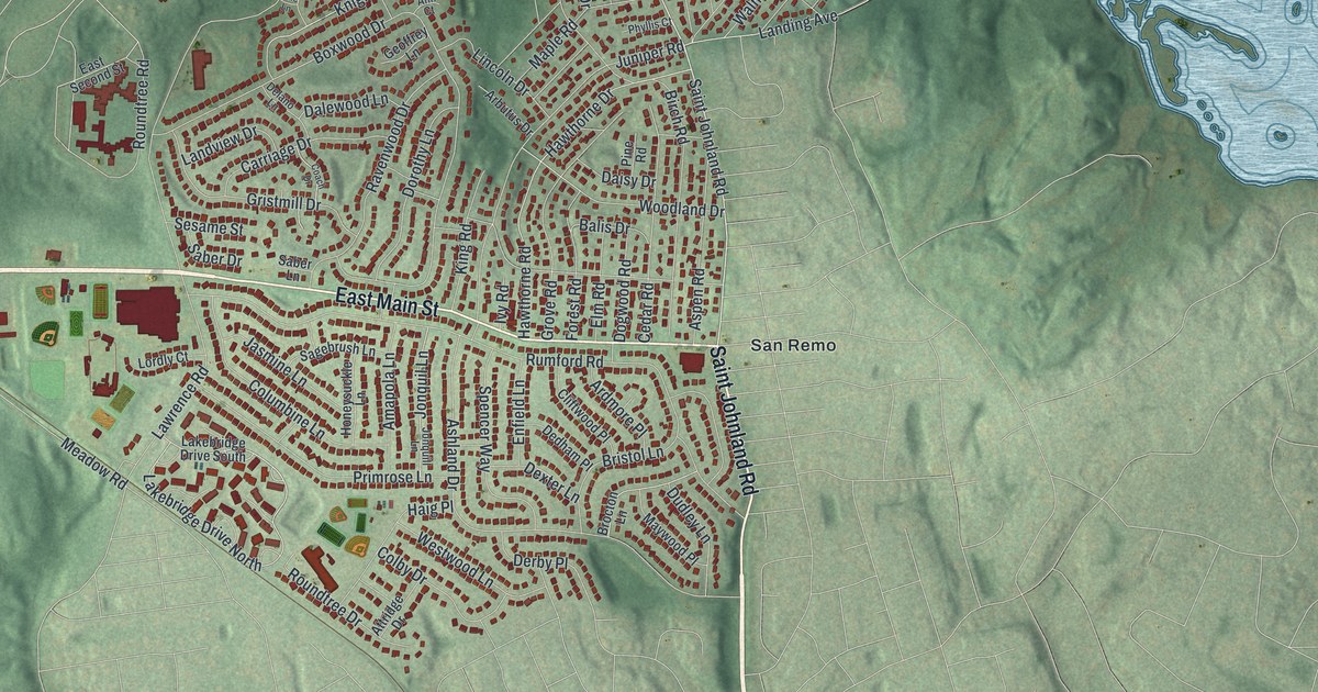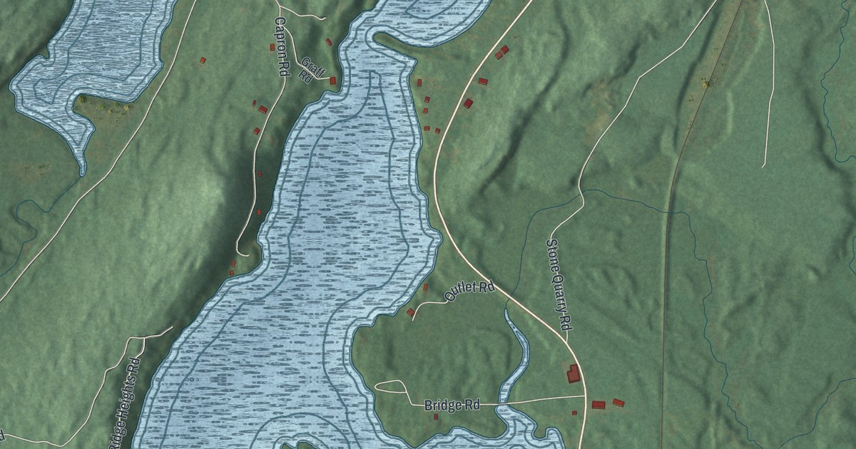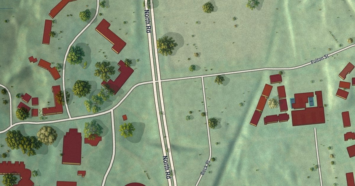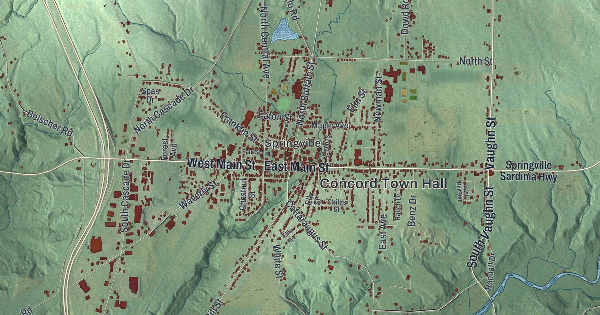
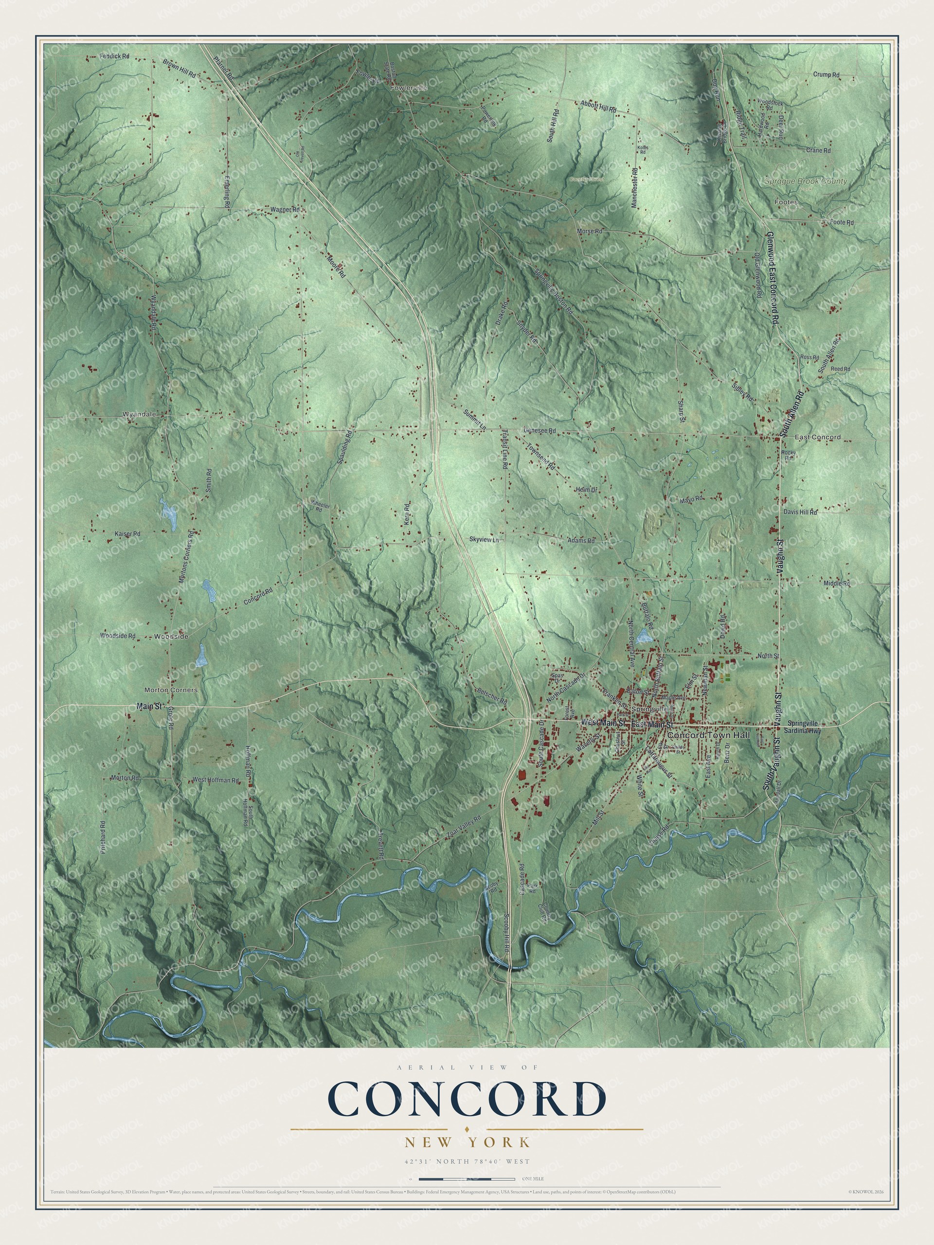
This beautifully detailed map of Concord, New York was created in 2026 using aerial imagery combined with modern topographical, census, street and landmark data. It’s a one-of-a-kind view of Concord that combines accurate data with a vintage aesthetic. The map shows every building in its true location, many of the roads carry their names, and the shaded topographic relief shows the shape of the land.
Explore an aerial view of Concord, New York
On the map you’ll find Concord Town Hall, Fowlerville, Footes, Morton Corners, East Concord, Wyandale, Country Forest, and Sprague Brook County Park, along with Vaughn Street, Main Street, Allen Road, Glenwood East Concord Road, and more. If you look closely you can even find your house accurately drawn in its correct location. Zoom in on the preview to look for yours.
Did You Know?
Springville, the main village in the town of Concord, was first called Fiddler’s Green. Samuel Cochran became the town’s first permanent settler in 1808. Springville Academy opened in 1830 as the first high school in Erie County.
Take a closer look at the Concord map
Names on this map
These names are printed on this map.
Places: Concord Town Hall, Fowlerville, Footes, Morton Corners, East Concord, Wyandale, Country Forest, Sprague Brook County Park, Springville and Woodside.
Streets and roads: Vaughn Street, Main Street, South Allen Road, East Main Street, South Vaughn Street, Glenwood East Concord Road, West Main Street, Springville Boston Road, South Cascade Drive, North Cascade Drive, Mortons Corners Road, Sharp Street.
More street names, A to Z
Abbott Hill Road, Adams Road, Belscher Road, Benz Drive, Boston State Road, Brown Hill Road, Buffalo Road, Cascade Road, Cattaraugus Street, Chaise Road, Chestnut Street, Childs Street, Concord Road, Country Club Road, Crane Road, Crump Road, Davis Hill Road, Deer Run, Dog Run, Dowd Road, Drake Road, East Avenue, East Hill Run, Eaton Street, Elk Street, Ellis Avenue, Elm Street, Emerling Road, Feddick Road, Foote Road, Forest Avenue, Fowler Road, Franklin Street, Genesee Road, Grote Road, Hardwood Road, Heim Drive, Hoffman Road, Kaiser Road, Kern Road, Kissing Bridge Lane, Koles Road, Manchester Road, Maple Avenue, Mayo Road, Middle Road, Mill Street, Moore Road, Morse Road, Morton Road, Newman Street, North Buffalo Street, North Central Avenue, North Street, Old Glenwood Road, Old Trevett Road, Park Road, Park Street, Pfarner Road, Powerline Road, Pritchard Road, Randall Drive, Rauch Drive, Reed Road, Ridge Trail, Rocky Road, Ross Road, Scoby Road, Scooby Hill Road, Sibley Road, Skyview Lane, Smith Road, Snyder Road, South Hill Road, South Hoffman Road, Spas Drive, Spaulding Road, Spring Street, Springville Sardinia Highway, Summit Lane, Townsend Road, Transit Line Road, Trevett Road, Wagner Road, Waverly Street, West Hoffman Road, Wheeler Road, White Street, Woodside Road, Woodstock Road, Wyandale Road, Zoar Valley Road.
See it on a wall
The Concord map as a framed print. Swipe for more.


This beautifully detailed map of Concord makes an attractive addition to your office, library, or den, and it can even be used to teach children the geography and history of the area. It also makes a great gift for someone who left Concord and still calls it home. When you’re done exploring, click here to get your copy of the Concord map.