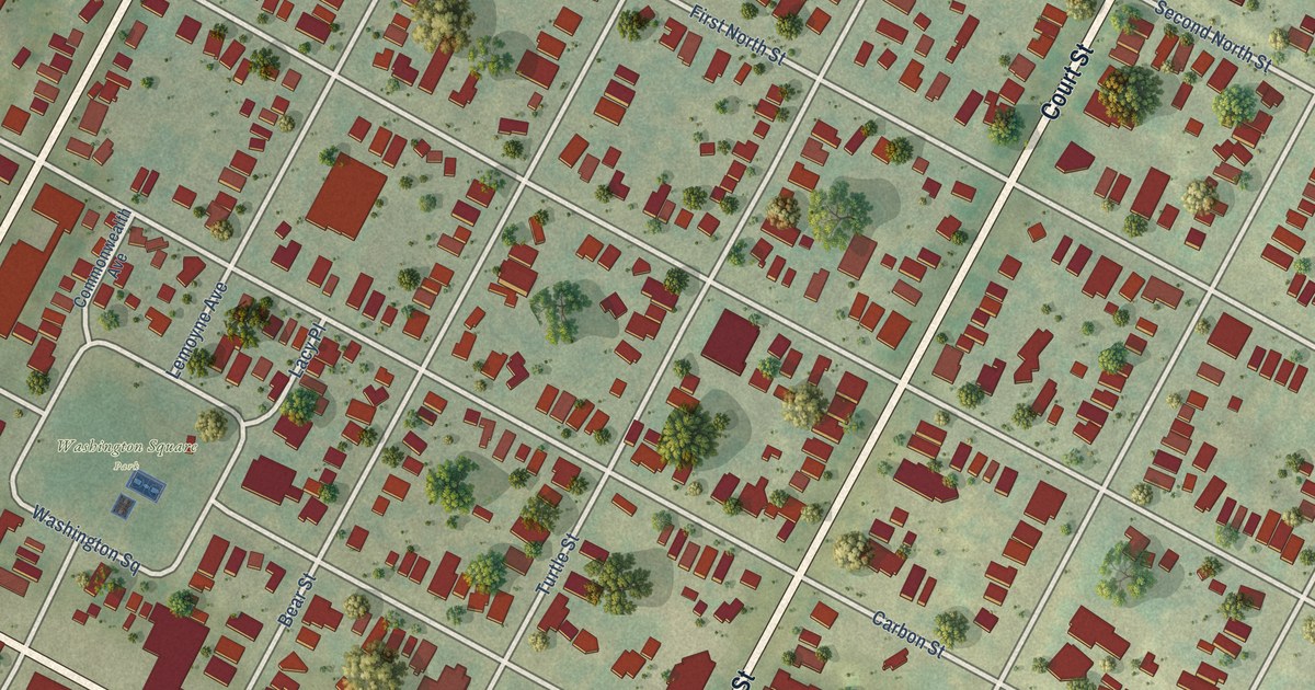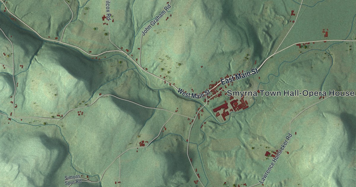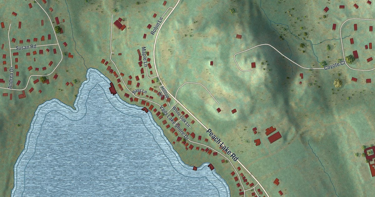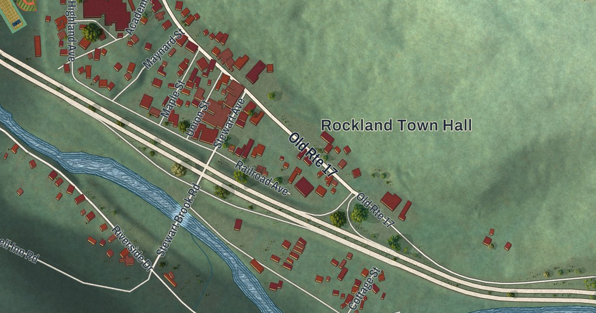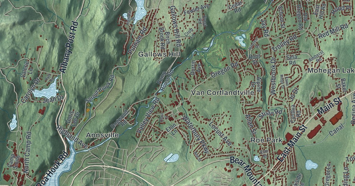
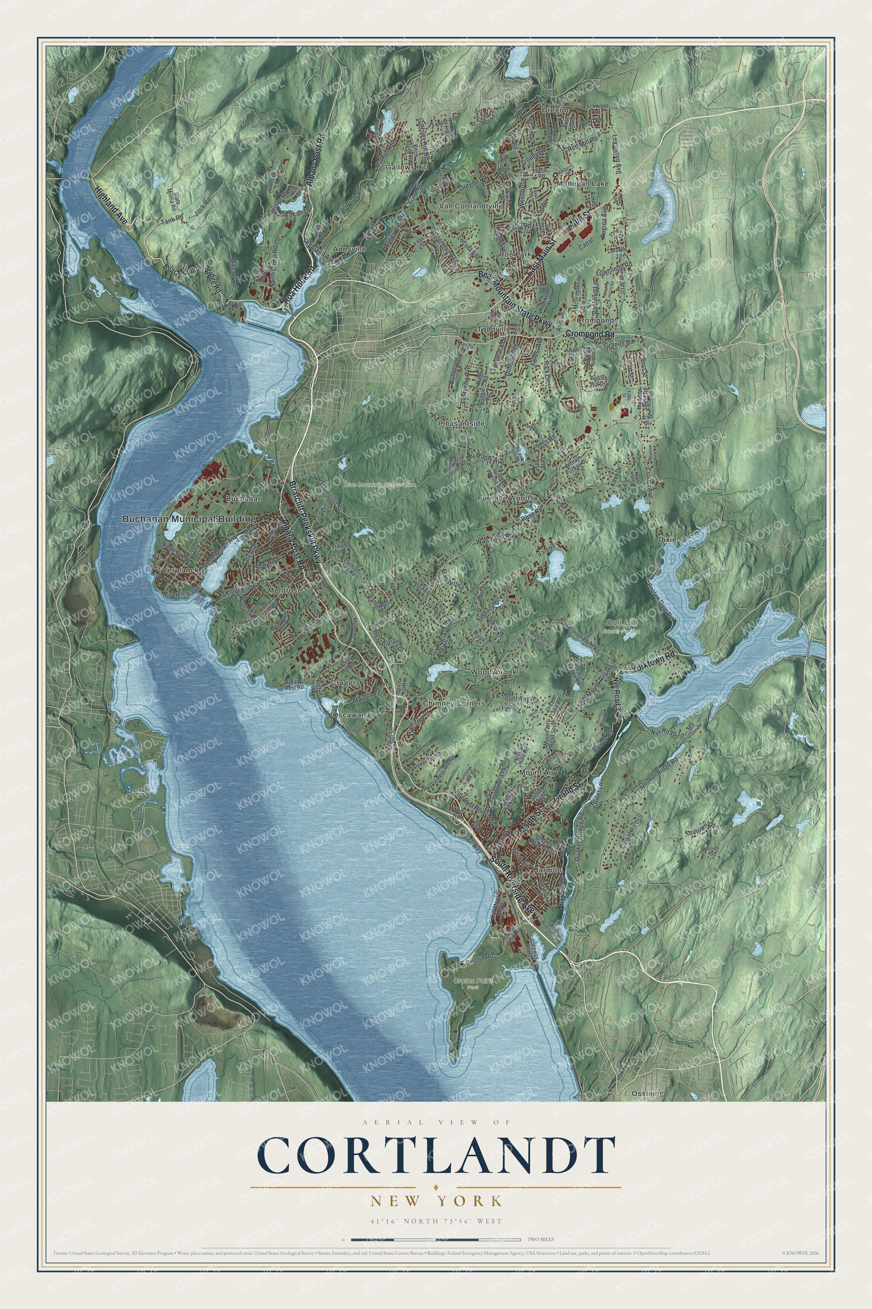
This beautifully detailed map of Cortlandt, New York was created in 2026 using aerial imagery combined with modern topographical, census, street and landmark data. It’s a one-of-a-kind view of Cortlandt that combines accurate data with a vintage aesthetic. The map shows every building in its true location, many of the roads carry their names, and the shaded topographic relief shows the shape of the land.
Explore an aerial view of Cortlandt, New York
On the map you’ll find Buchanan Municipal Building, Annsville, Buchanan, Chimney Corners, Crompond, Crugers, Croton Point Park, and Salt Hill State Forest, along with Briarcliff-Peekskill Parkway, Albany Post Road, Main Street, Riverside Avenue, and more. If you look closely you can even find your house accurately drawn in its correct location. Zoom in on the preview to look for yours.
Did You Know?
During the Revolutionary War, King’s Ferry linked Stony Point with Verplanck’s Point in the Cortlandt area. In 1781 George Washington’s army crossed the river there while marching south to Yorktown, Virginia. John Trumbull later made a full-length portrait of Washington at Verplanck’s Point.
Take a closer look at the Cortlandt map
Names on this map
These names are printed on this map.
Places: Buchanan Municipal Building, Blue Mountain Reservation, Croton Point Park, Salt Hill State Forest, Annsville, Buchanan, Chimney Corners, Crompond, Crugers, Dixie, Furnace Woods, Gallows Hill, Harmon, Mohegan Lake, Montrose, Mount Airy, Oregon, Oscawana, Ossining, Pleasantside, Roe Park, Toddville, Van Cortlandtville, Verplanck and Woodybrook.
Streets and roads: Briarcliff-Peekskill Parkway, Albany Post Road, Main Street, South Riverside Avenue, East Main Street, Crompond Road, Bear Mountain State Parkway, Yorktown Road, Roa Hook Road, Highland Avenue, Grand Street, Maple Street.
More street names, A to Z
Aida Lane, Allan Street, Alpine Drive, Amalfi Drive, Amherst Road, Ann Street, Anton Place, Apple Hill Drive, Arlo Lane, Arrowcrest Drive, Baker Street, Baron de Hirsch Road, Batten Road, Battery Place, Bear Mountain Bridge Road, Bethea Drive, Birch Brook Road, Birch Lane, Bleakley Avenue, Bramble Bush Road, Briar Lane, Briggs Lane, Broadway, Brook Lane, Brookside Avenue, Buttonwood Avenue, Camp Smith, Canal, Carolyn Drive, Cedar Road, Chester Court, Clara Court, Cleveland Drive, Colabaugh Pond Road, College Hill Road, Cortlandt Street, Croft Lane, Cross Road, Croton Avenue, Croton Dam Road, Croton Park Road, Croton Point Avenue, Croton Road, Cynthia Road, Dailey Drive, Dares Lane, Dickerson Road, Dimond Avenue, Dogwood Road, Doris Lee Drive, Dream Lake Road, Durrin Avenue, Dutch Street, East Hill Road, East Mount Airy Road, Elena Drive, Elliot Way, Elm Street, Ernst Road, Eton Lane, Fawn Ridge Drive, Fifth Street, Finney Farm Road, First Street, Flanders Lane, Forest Avenue, Foster Court, Fourth Street, Fowler Avenue, Fox Road, Furnace Brook Drive, Furnace Dock Road, Furnace Woods Road, Gallows Hill Road, Gateway Plaza, Georgia Lane, Granite Road, Half Moon Bay Drive, Harper Avenue, Helena Avenue, Henry Street, Hessian Hills Road, Highland Drive, High Street, Hill and Dale Road, Hillcrest Drive, Hood Place, Hoye Drive, Inwood Lane East, Jack Road, Jacob Street, Jay Road, Jean Drive, Jo Drive, John Street, Justin Court, Kent Drive, Kings Ferry Road, Knoll Road, Lafayette Avenue, Laurel Hill Road, Lexington Avenue, Lockwood Road, Locust Avenue, Lounsbury Road, Maiden Lane, Maple Avenue, Maple Court, McGregor Lane, Meadow Road, Meadow Sweet Road, Memorial Drive, Military Road, Milt Green Road, Montrose Point Road, Montrose Station Road, Mountain View Road, Mount Airy Road, Mount Airy Road South, Ninth Street, Nordica Drive, North Camp Road, North Highland Place, Nyc Road 3, Nyc Road 10, Ogden Avenue, Olcott Avenue, Old Oregon Road, Old Post Road North, Old Post Road South, Oregon Road, Oriole Lane, Pamela Road, Paulding Lane, Pine Lane, Pine Road, Pond Meadow Road, Prickly Pear Hill Road, Pump House Road, Putnam Road, Quaker Bridge Road, Quaker Hill Drive, Quaker Ridge Road, Red Mill Road, Red Oak Lane, Regina Avenue, Rick Lane, Ridge Road, River Lane, Riverview Avenue, Robbie Road, Root Street, Rose Road, Round Tree Lane, Ruth Road, Sassi Drive, Sassinoro Boulevard, Scenic Drive, School Street, Sela Road, Seward Street, Shaw Highway, Sixth Street, Sonoma Road, Spice Hill Road, Sprout Brook Road, State Militia Road, Stuart Road, Sunset Road, Sunset Trail, Tamarack Drive, Tank Road, Tate Avenue, Teatown Road, Third Street, Townsend Road, Travis Lane, Trinity Avenue, Trolley Road, Truesdale Drive, Upland Lane, Vail Avenue, Valeria, Valerie Lane, Valley View Road, Victoria Avenue, Washington Street, Watch Hill Road, Waterbury Parkway, Westbrook Drive, Westchester Avenue, Westminster Drive, William Puckey Drive, Wolf Road, Woodale Avenue.
See it on a wall
The Cortlandt map as a framed print. Swipe for more.


This beautifully detailed map of Cortlandt makes an attractive addition to your office, library, or den, and it can even be used to teach children the geography and history of the area. It also makes a great gift for anyone with Cortlandt roots. When you’re done exploring, click here to get your copy of the Cortlandt map.