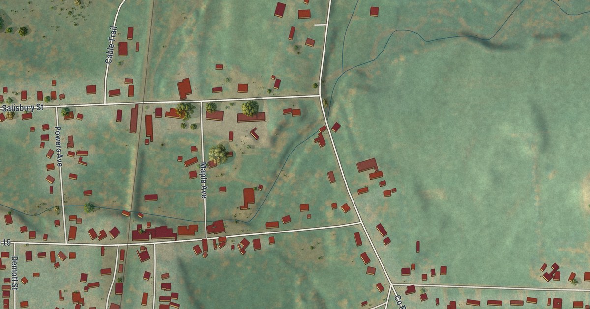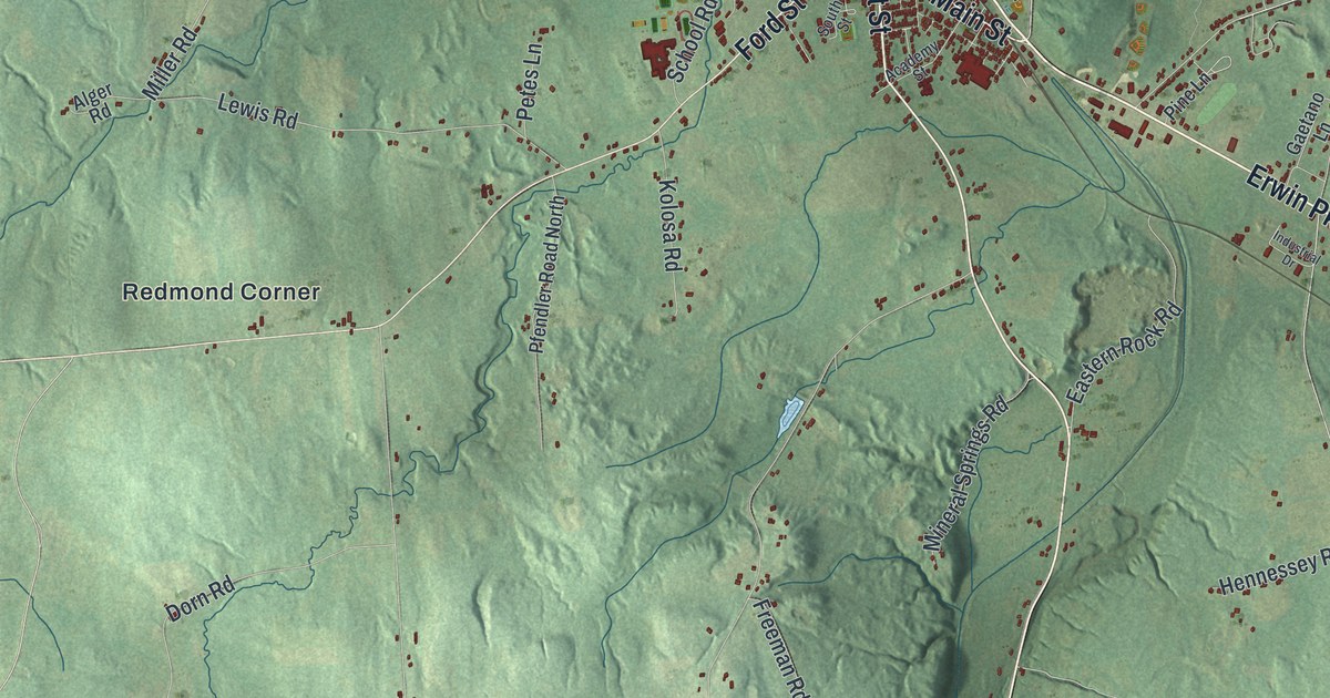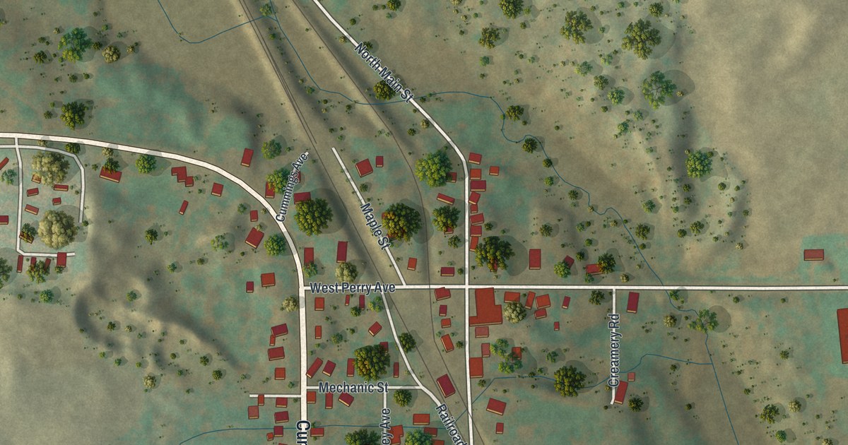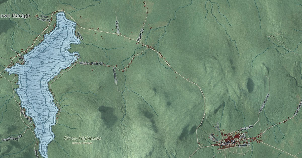
This beautifully detailed map of Dannemora, New York was created in 2026 using aerial imagery combined with modern topographical, census, street and landmark data. It’s a one-of-a-kind view of Dannemora that combines accurate data with a vintage aesthetic. The map shows every building in its true location, many of the roads carry their names, and the shaded topographic relief shows the shape of the land.
Explore an aerial view of Dannemora, New York
On the map you’ll find Dannemora Town Garage, Lyon Mountain, Chazy Highlands State Forest, Chazy Highlands Wildlife Management Area, and Dunkin’s Reserve State Forest, along with Cook Street, Power House Road, Sunset Road, Wilfred King Road, and more. If you look closely you can even find your house accurately drawn in its correct location. Zoom in on the preview to look for yours.
Did You Know?
Dannemora was named for the Swedish city because its iron deposits were of such high quality. The town became home to Clinton State Prison. By 1940 a 20-foot concrete wall with round glass lookouts circled the prison. Inside were some 40 buildings and about 2,000 inmates. That’s from the 1940 WPA guide to New York.
Take a closer look at the Dannemora map
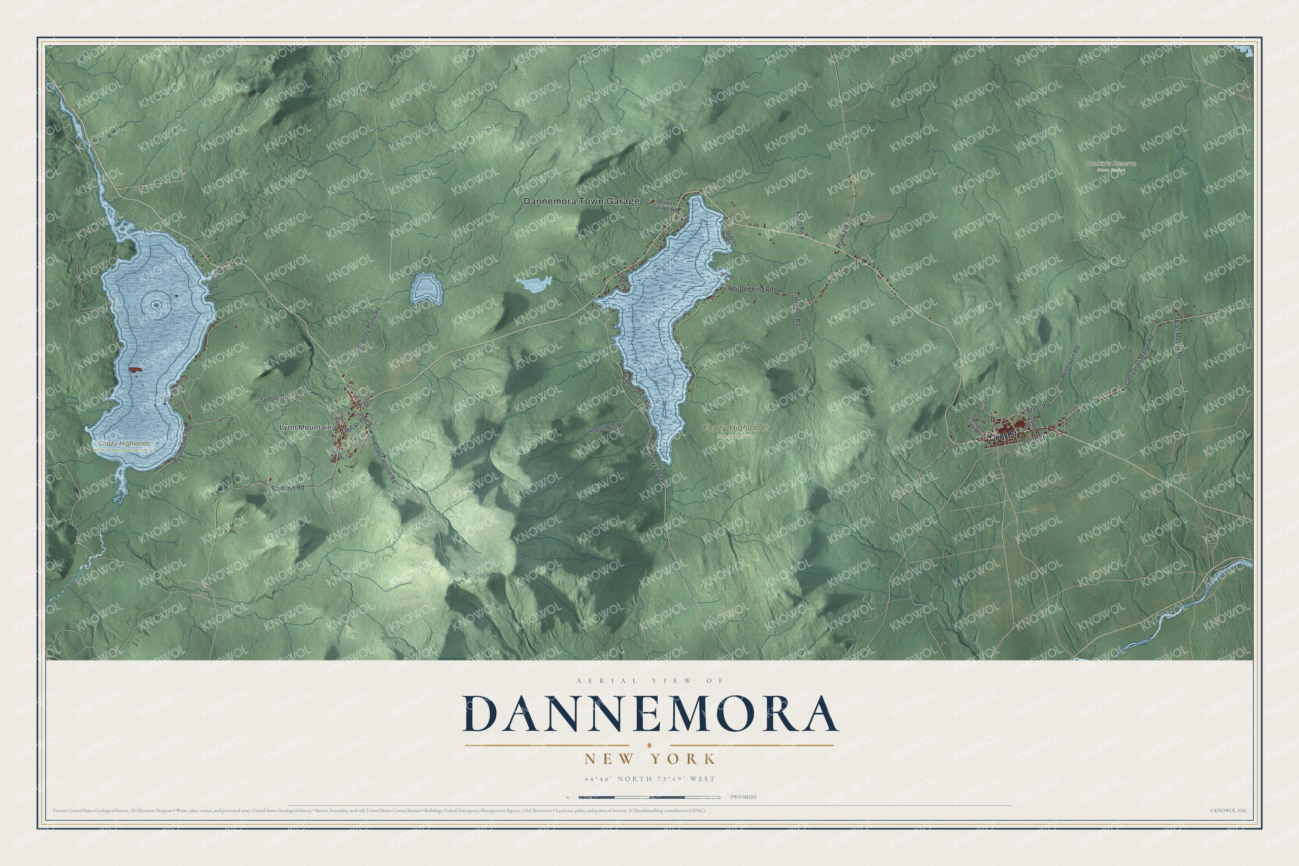
Names on this map
These names are printed on this map.
Places: Dannemora Town Garage, Lyon Mountain, Chazy Highlands State Forest, Chazy Highlands Wildlife Management Area and Dunkin's Reserve State Forest.
Streets and roads: Cook Street, Power House Road, Sunset Road, Wilfred King Road, Standish Road, Gen Leroy Manor Road, Chazy Lake Road, Bradley Pond Road, Reservoir Road, Bart Merrill Road, Plank Road, Boomhower Road.
More street names, A to Z
Depot Street, Dubrey Road, Emmons Street, First Street, Garmish Street, Gordon Road, Hemlock Lane, Island Drive, Lapoint Road, Lowenburg Road, Mill Street, Mountain View Drive, Owlyout Point Way, Saranac Street, Smith Street, State Road, State Street, Tamarack Lane, Third Street, Town Garage Road, Varin Road.
See it on a wall
The Dannemora map as a framed print. Swipe for more.


This beautifully detailed map of Dannemora makes an attractive addition to your office, library, or den, and it can even be used to teach children the geography and history of the area. It also makes a great gift for someone who left Dannemora and still calls it home. When you’re done exploring, click here to get your copy of the Dannemora map.