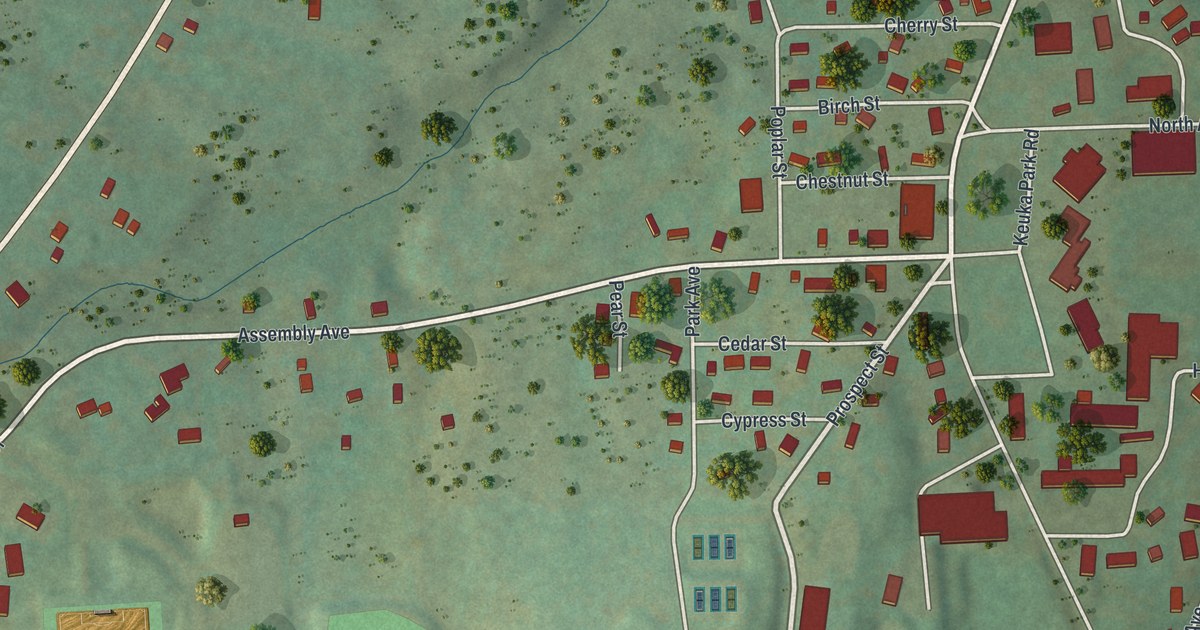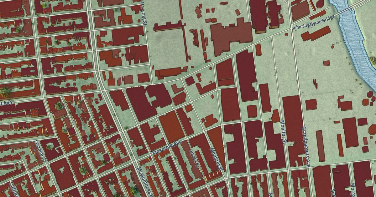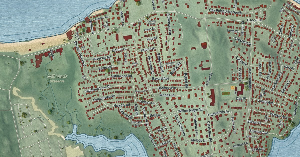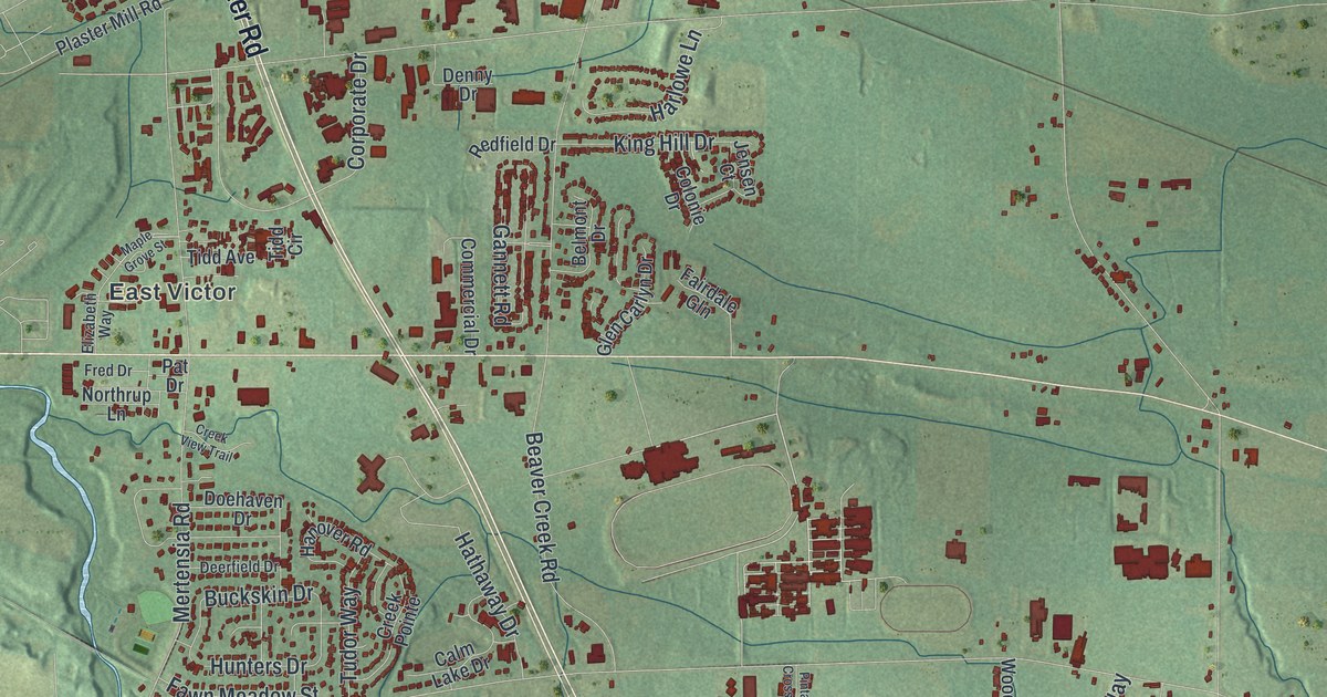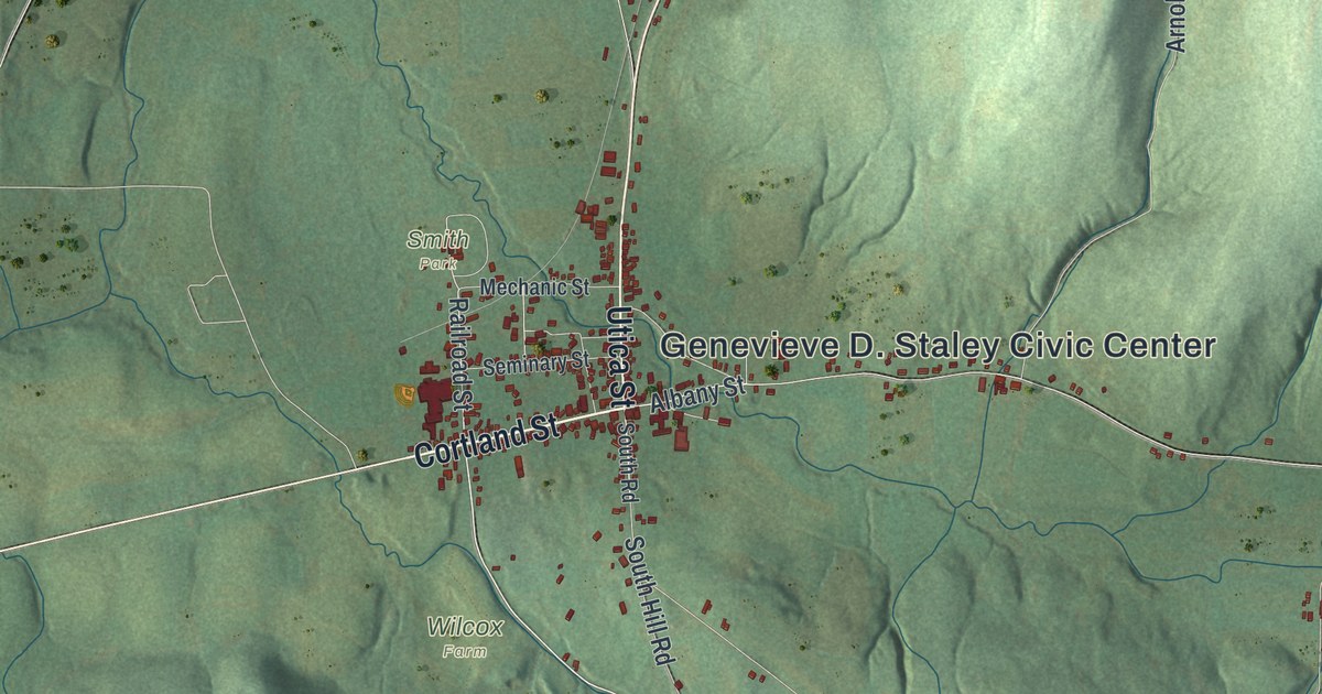
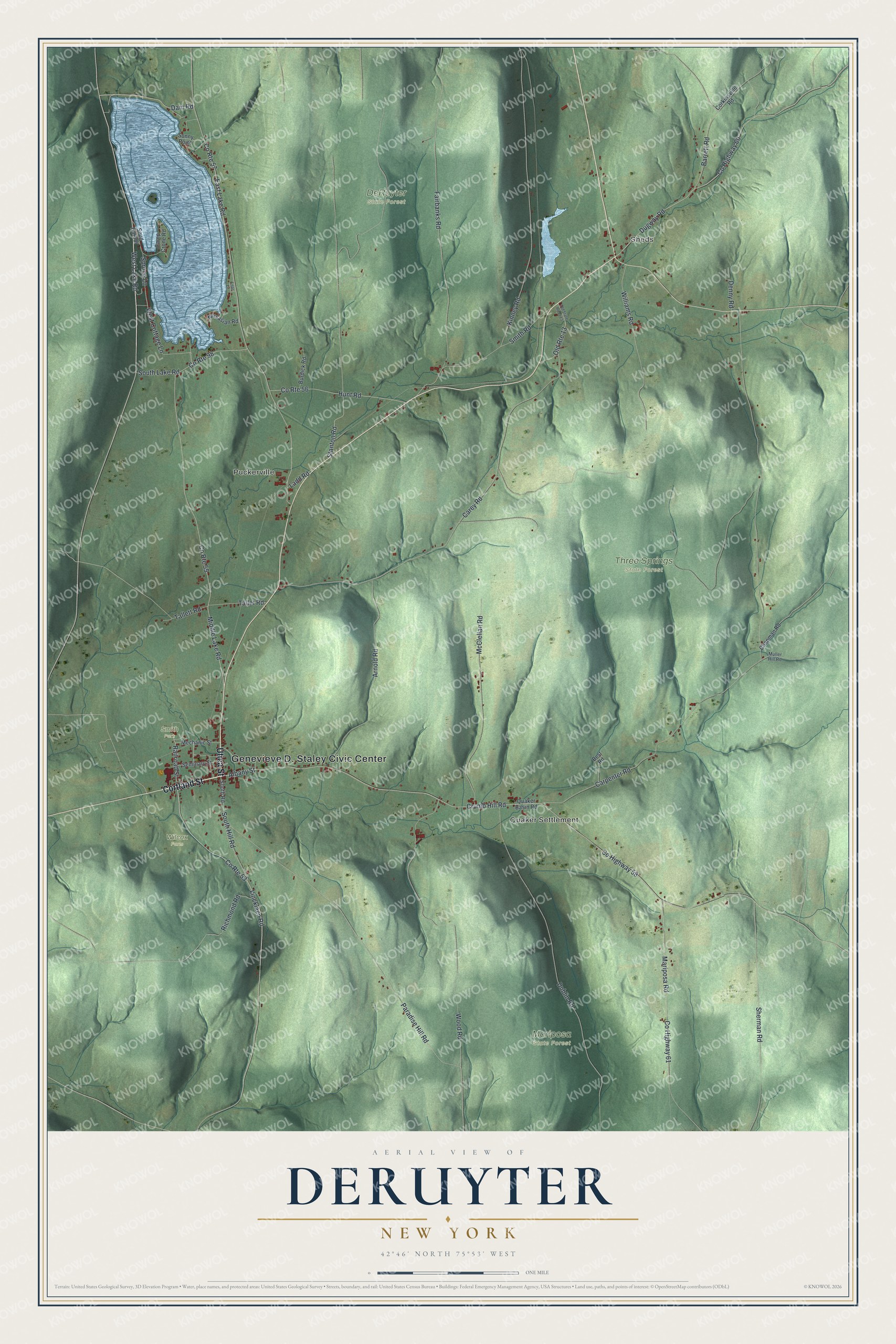
This beautifully detailed map of DeRuyter, New York was created in 2026 using aerial imagery combined with modern topographical, census, street and landmark data. It’s a one-of-a-kind view of DeRuyter that combines accurate data with a vintage aesthetic. The map shows every building in its true location, many of the roads carry their names, and the shaded topographic relief shows the shape of the land.
Explore an aerial view of DeRuyter, New York
On the map you’ll find Genevieve D. Staley Civic Center, Sheds, Quaker Settlement, Puckerville, Mariposa State Forest, Smith Park, and Three Springs State Forest, along with Cortland Street, Utica Street, Railroad Street, Albany Street, and more. If you look closely you can even find your house accurately drawn in its correct location. Zoom in on the preview to look for yours.
Did You Know?
This land was first called Tromp Township. John Lincklaen of the Holland Land Company picked that name for the Dutch admiral Maarten Tromp. A new town was carved out on March 15, 1798. Lincklaen turned to another Dutch naval hero and named it for Admiral Michiel de Ruyter.
Take a closer look at the DeRuyter map
Names on this map
These names are printed on this map.
Places: Genevieve D. Staley Civic Center, Sheds, Quaker Settlement, Puckerville, DeRuyter State Forest, Mariposa State Forest, Smith Park, Three Springs State Forest and Wilcox Farm.
Streets and roads: Cortland Street, Utica Street, Railroad Street, Albany Street, County Route 53, County Route 55, West Lake Road, Lincklaen Road, West Cottage Lane, Carpenter Road, County Highway 58, Crumb Hill Road.
More street names, A to Z
Arnold Road, Barrett Road, Best Road, Burdick Road, Camp Crone Road, Carey Road, Chapman Road, Corkinsville Road, County Highway 60, County Highway 61, County Route 56, County Route 57, County Route 98, Dam Road, Denny Road, Dublin Road, Dugway Road, East Lake Road, Fairbanks Road, Hunt Road, Kinney Road, Ladd Road, Lilac Lane, Mariposa Road, McClellan Road, Mechanic Street, Middle Lake Road, Muller Hill Road, Narsasian Road, Old Route 13, Old State Road 13, Paradise Hill Road, Quaker Basin Road, Richmond Road, Seminary Street, Sherman Road, Smith Road, Snug Harbor, Sonny Point, South Hill Road, South Lake Road, South Road, Spruce Lane, Stanton Road, Tallet Road, Tallett Road, Williams Road, Wood Road.
See it on a wall
The DeRuyter map as a framed print. Swipe for more.


This beautifully detailed map of DeRuyter makes an attractive addition to your office, library, or den, and it can even be used to teach children the geography and history of the area. It also makes a great gift for anyone with DeRuyter roots. When you’re done exploring, click here to get your copy of the DeRuyter map.