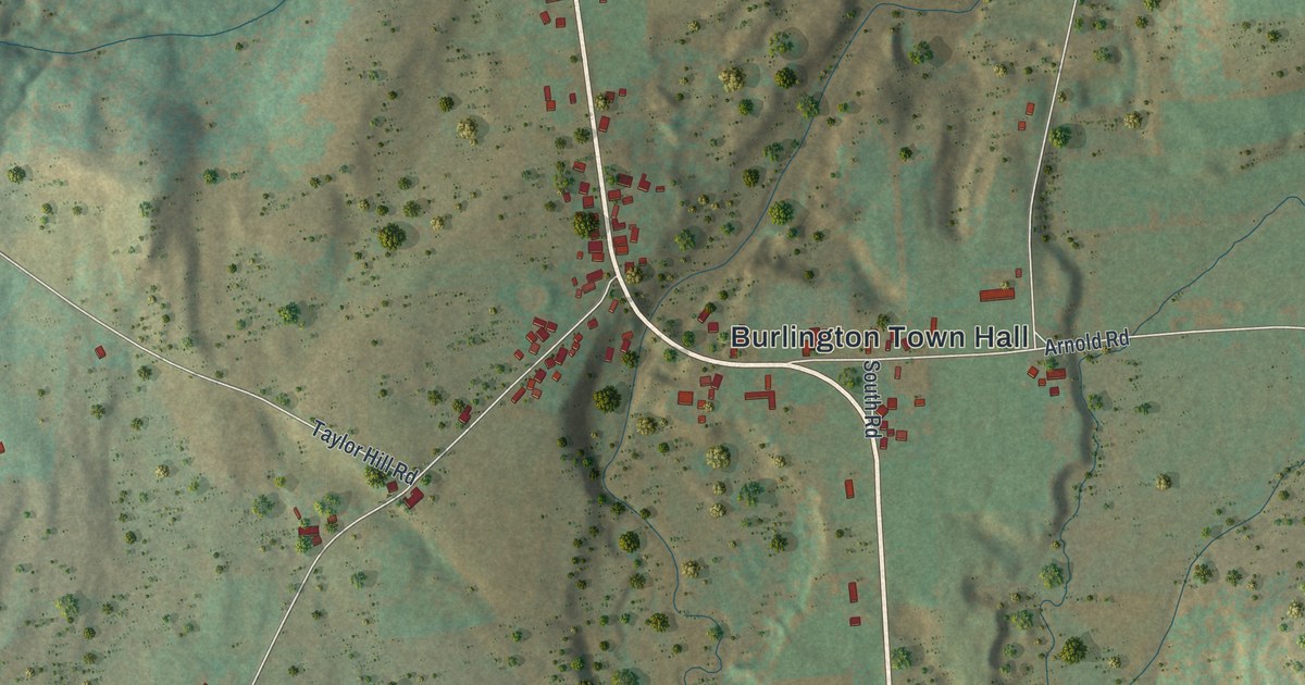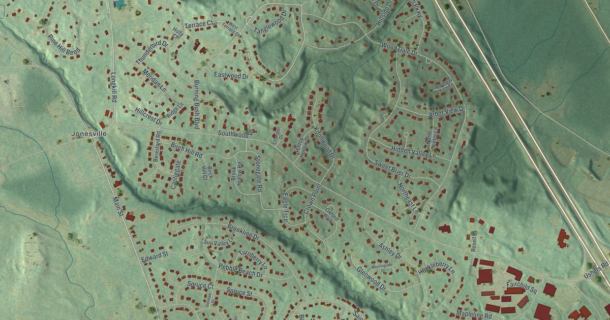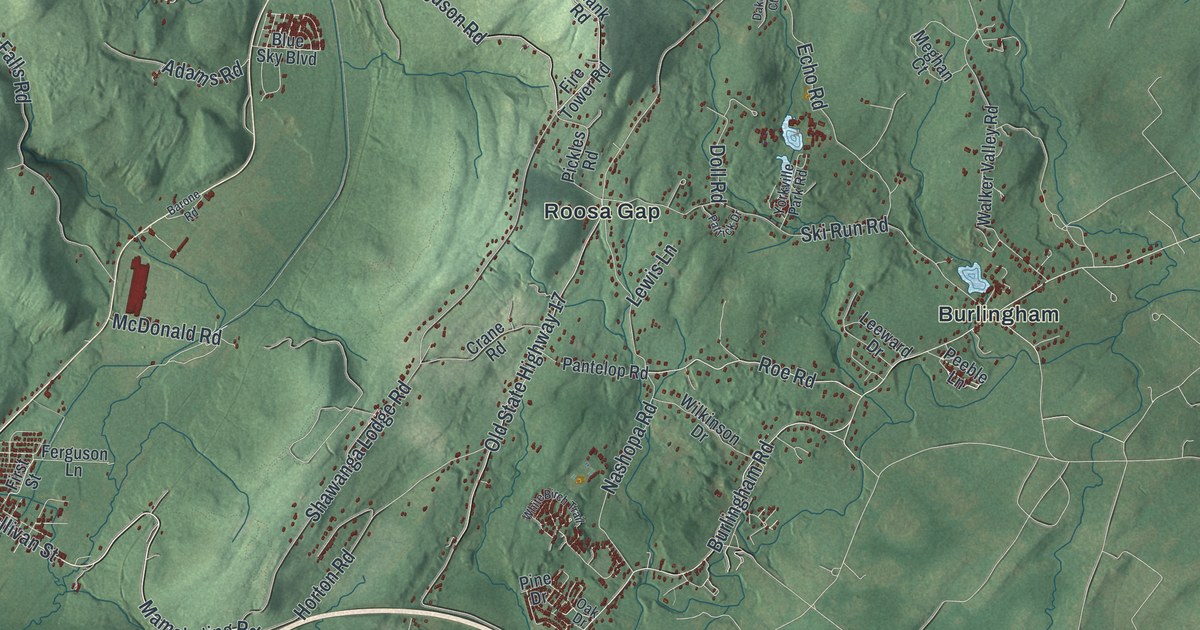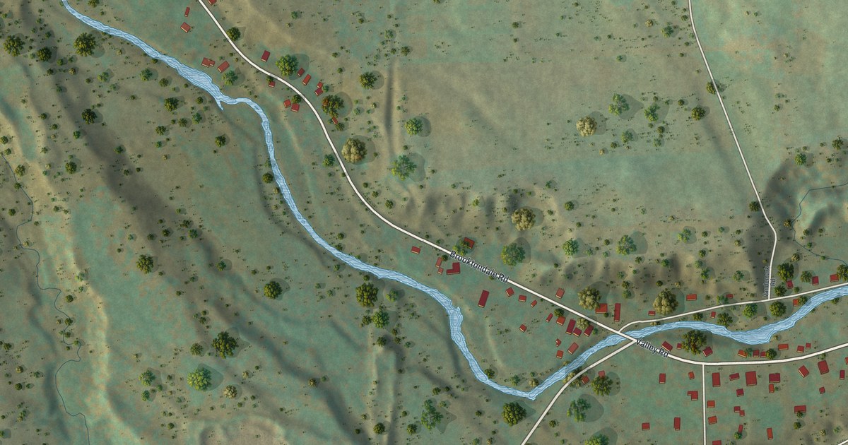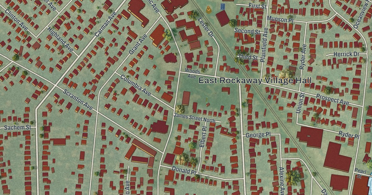
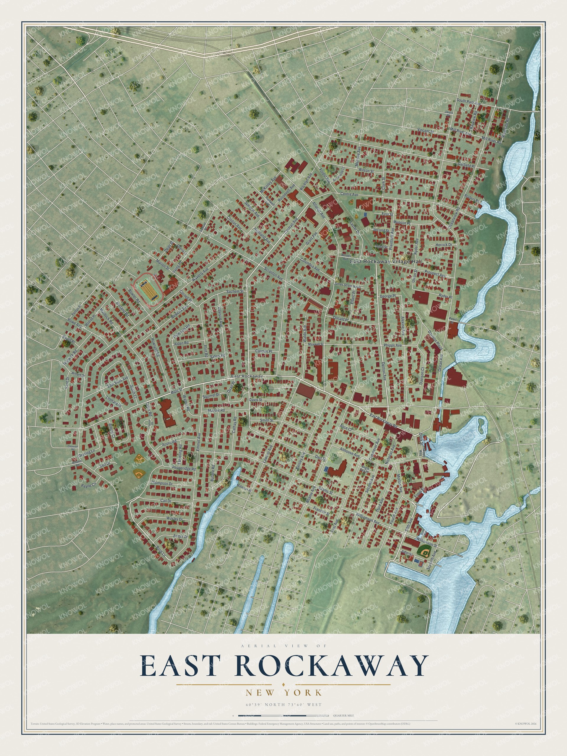
This beautifully detailed map of East Rockaway, New York was created in 2026 using aerial imagery combined with modern topographical, census, street and landmark data. It’s a one-of-a-kind view of East Rockaway that combines accurate data with a vintage aesthetic. The map shows every building in its true location, many of the roads carry their names, and the shaded topographic relief shows the shape of the land.
Explore an aerial view of East Rockaway, New York
On the map you’ll find East Rockaway Village Hall, along with Rockaway Road, Carman Avenue, Denton Avenue, Rose Lane, and more. If you look closely you can even find your house accurately drawn in its correct location. Zoom in on the preview to look for yours.
Did You Know?
The village was first called Near Rockaway. Its deep inland channels drew ships, and it grew into a South Shore port for trade. In 1688 Joseph Haviland received a land grant and built a grist mill. The mill still stands in Memorial Park. The village took the name East Rockaway in 1869.
Take a closer look at the East Rockaway map
Names on this map
These names are printed on this map.
Places: East Rockaway Village Hall and East Rockaway.
Streets and roads: East Rockaway Road, Carman Avenue, Denton Avenue, Rose Lane, Fifth Avenue, Main Street, Ocean Avenue, Atlantic Avenue, Waverly Avenue, Rhame Avenue, Emmet Avenue, Grant Avenue.
More street names, A to Z
Acorn Road, Adams Road, Adams Street, Alden Road, Alexine Avenue, Alice Court, Althouse Avenue, Angle Sea Place, Arnold Court, Arthur Drive, Baisley Avenue, Baylis Place, Bayview Road, Bowler Road, Bulaire Road, Cail Drive, Cammerer Avenue, Carman Place, Cathay Road, Centre Avenue, Channon Road, Cherry Lane, Clark Street, Clinton Avenue, Columbia Avenue, Cornell Place, Dart Street, Davison Avenue, Davison Court, Davison Plaza, Davis Street, Dean Street, Deering Lane, Dell Drive, Dock Street, Donald Place, Durland Road, East Voss Avenue, Elbert Place, Fenton Place, First Avenue, First Street, Flint Road, Forest Avenue, Fourth Avenue, Franklin Street, Front Street, Garfield Place, George Place, Greenville Court, Herrick Drive, Highland Avenue, Howland Road, Irving Place, James Street North, Jarvis Place, John Street, Judith Court, Kent Drive, Lawson Avenue, Leonard Drive, Lester Drive, Malecon Street, Mallow Road, Marion Street, Maxwell Street, McKinley Avenue, Melrose Avenue, Mildred Place, Mill River Avenue, Mill River Road, Morton Avenue, Munson Place, Murdock Road, Newkirk Avenue, Nicholas Avenue, Oceanview Road, Payne Circle, Pearl Street, Pepperidge Road, Phipps Avenue, Plainfield Avenue, Plymouth Road, Prospect Avenue, Quail Place, Riverside Road, Rocklyn Avenue, Roosevelt Avenue, Rowe Avenue, Roxbury Road, Ryder Avenue, Ryder Place, Sachem Street, Salem Road, Samuel Place, Scranton Avenue, Second Avenue, Second Street, Seventh Avenue, Sixth Avenue, Skippy Way, Smith Street, South Park Avenue, Spencer Avenue, Squirrel Drive, Talford Road, Talfor Road, Tameling Road, Third Avenue, Third Street, Thompson Drive, Tredwell Avenue, Union Street, Vincent Place, Waldo Avenue, Walnut Road, Warwick Road, Wesley Drive, Willard Drive, Williamson Avenue, Williamson Street, Wilson Street, Woods Avenue.
See it on a wall
The East Rockaway map as a framed print. Swipe for more.


This beautifully detailed map of East Rockaway makes an attractive addition to your office, library, or den, and it can even be used to teach children the geography and history of the area. It also makes a great gift for anyone with East Rockaway roots. When you’re done exploring, click here to get your copy of the East Rockaway map.