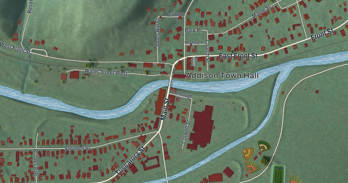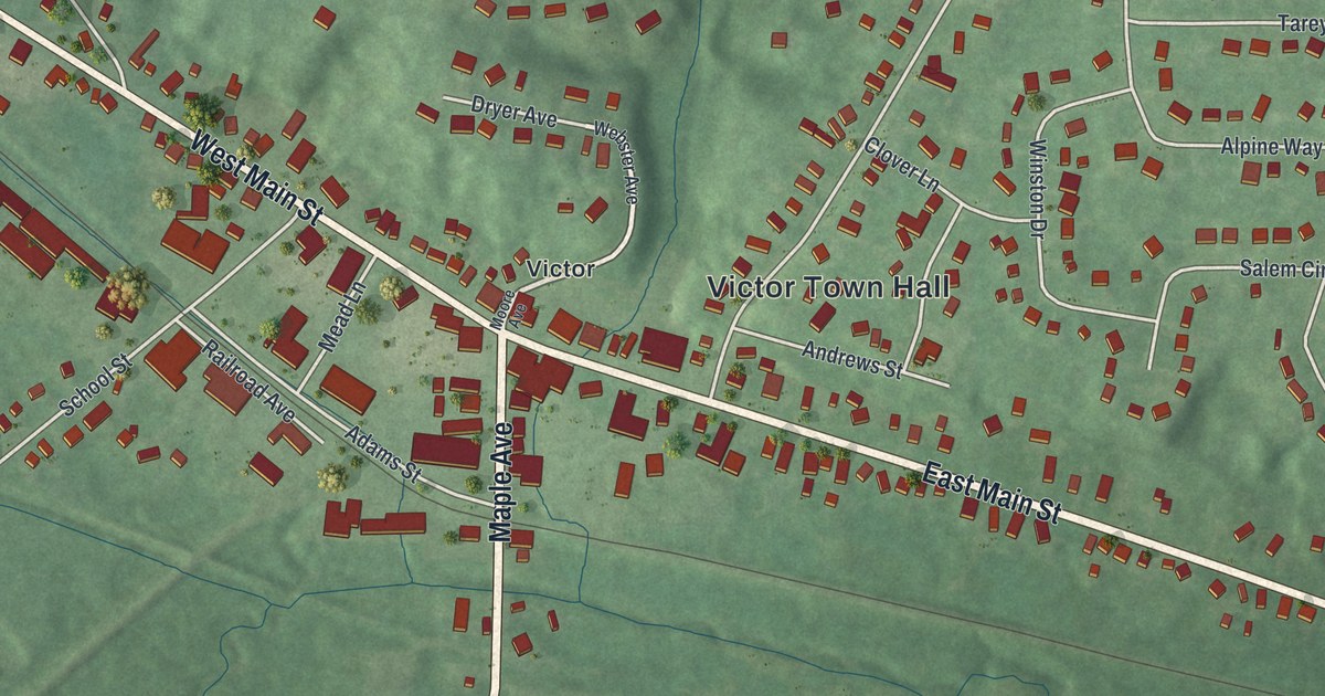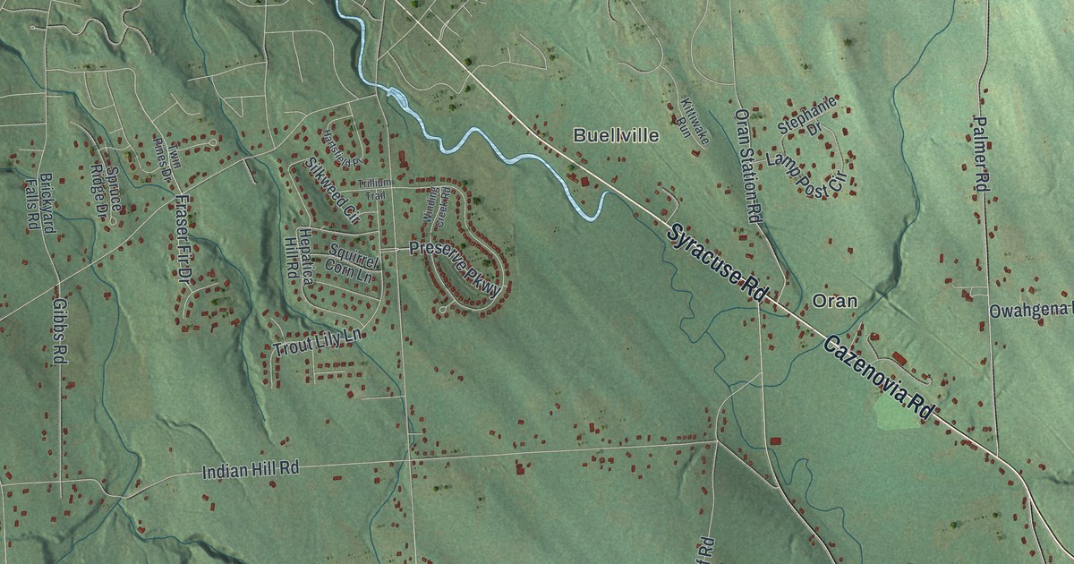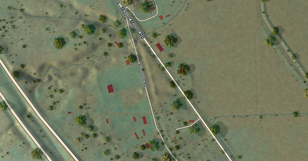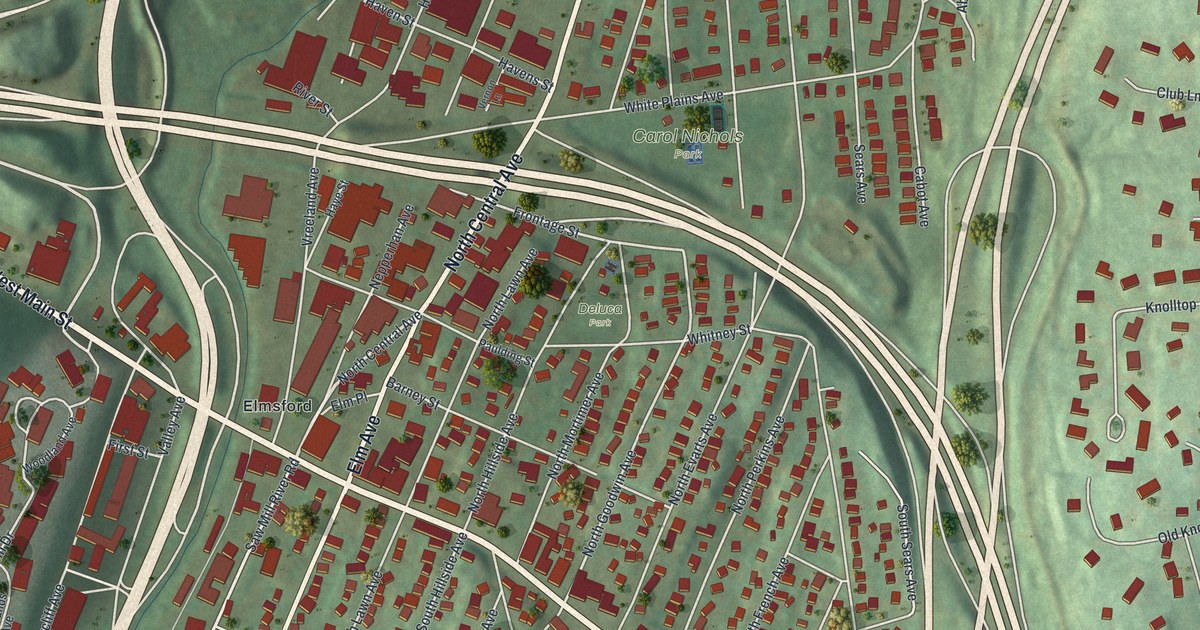
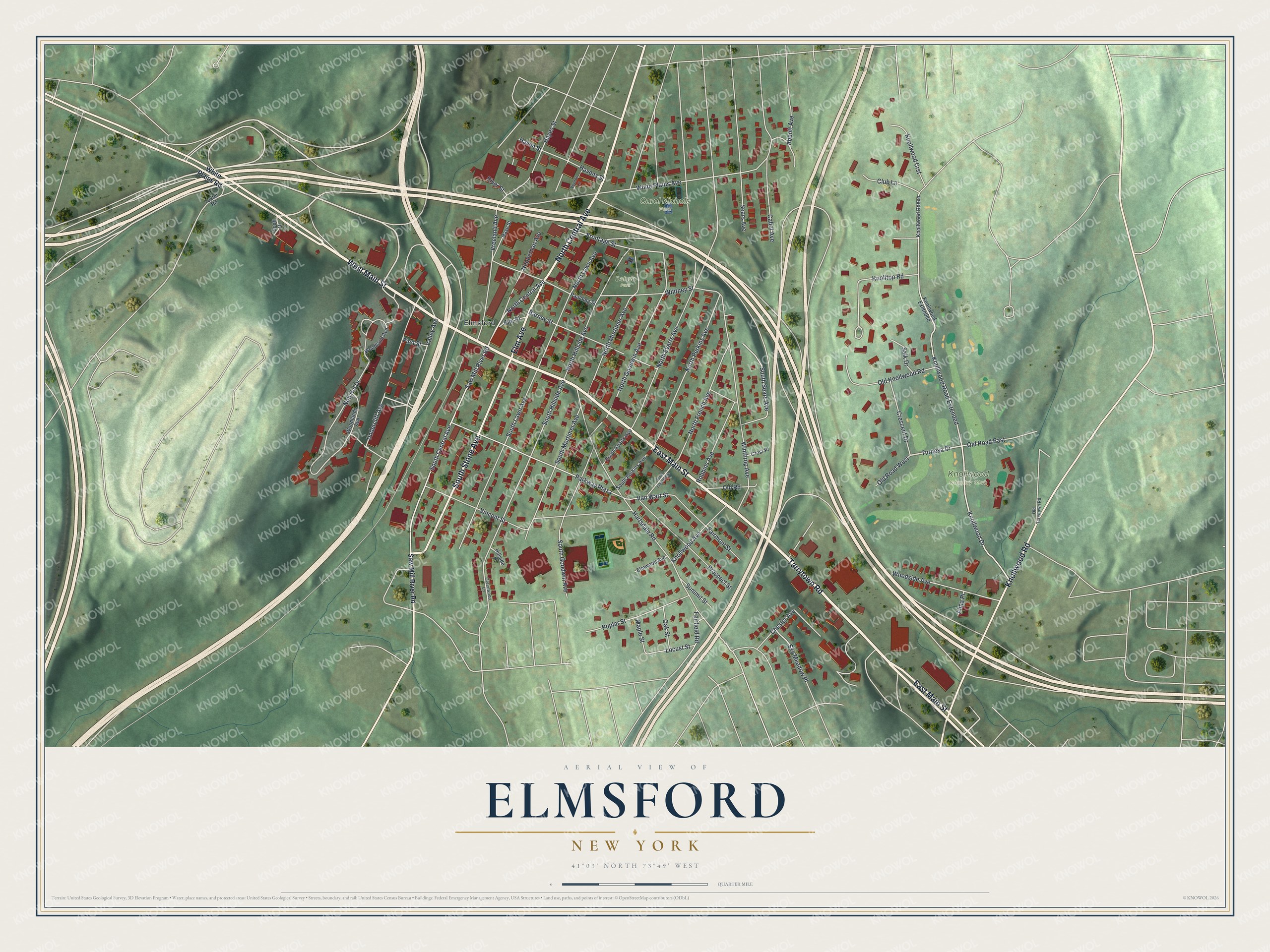
This beautifully detailed map of Elmsford, New York was created in 2026 using aerial imagery combined with modern topographical, census, street and landmark data. It’s a one-of-a-kind view of Elmsford that combines accurate data with a vintage aesthetic. The map shows every building in its true location, many of the roads carry their names, and the shaded topographic relief shows the shape of the land.
Explore an aerial view of Elmsford, New York
On the map you’ll find Carol Nichols Park and Deluca Park, along with Main Street, Tarrytown Road, Central Avenue, Stone Avenue, Elm Avenue, and more. If you look closely you can even find your house accurately drawn in its correct location. Zoom in on the preview to look for yours.
Did You Know?
In colonial days the area went by Storm’s Bridge, and later Hall’s Corners, after the leading landowners of each era. In 1870 the growing village took the name Elmsford. The new name honored a huge elm tree that stood as a local landmark. That tree is now gone.
Take a closer look at the Elmsford map
Names on this map
These names are printed on this map.
Places: Knollwood Country Club, Carol Nichols Park, Deluca Park and Elmsford.
Streets and roads: East Main Street, West Main Street, Tarrytown Road, North Central Avenue, South Stone Avenue, Elm Avenue, Knollwood Road, Knollwood Drive, Turnesa Drive, Knollwood Road Extended, Saw Mill River Road, South Central Avenue.
More street names, A to Z
Abbott Avenue, Alma Place, Barney Street, Cabot Avenue, Chester Avenue, Club Lane, Crescent Drive, Crest Place, Elm Place, Elmwood Avenue, Fairfield Road, Fairmont Street, First Street, Frontage Street, Greenwood Lane, Hartsdale Road, Havens Street, Haven Street, Hayes Street, Haye Street, Hillside Place, Knolltop Road, Knollwood Avenue, Knollwood Crst, Knollwood Extended, Knollwood Rdexn, Locust Street, Maple Street, Nepperhan Avenue, Nob Hill Drive, North Evarts Avenue, North French Avenue, North Goodwin Avenue, North Hillside Avenue, North Lawn Avenue, North Mortimer Avenue, North Perkins Avenue, Oak Street, Old Knollwood Road, Old Road, Old Road East, Old Road West, Old Tarrytown Road, Parkway Plaza, Paulding Street, Poplar Street, Prospect Street, River Street, Robbins Avenue, Salk Drive, Scott Drive, Sears Avenue, Sky Meadow Place, South Evarts Avenue, South French Avenue, South Goodwin Avenue, South Hillside Avenue, South Lawn Avenue, South Mortimer Avenue, South Perkins Avenue, South Sears Avenue, Summit Street, Taxter Road, Undercliff Avenue, Valley Avenue, Van Wart Street, Vernon Lane, Vincent Street, Vreeland Avenue, White Plains Avenue, White Plains Road, Whitney Street, Winthrop Avenue, Woodland Avenue, Woodlands Avenue, Woodside Avenue.
See it on a wall
The Elmsford map as a framed print. Swipe for more.


This beautifully detailed map of Elmsford makes an attractive addition to your office, library, or den, and it can even be used to teach children the geography and history of the area. It also makes a great gift for anyone with Elmsford roots. When you’re done exploring, click here to get your copy of the Elmsford map.