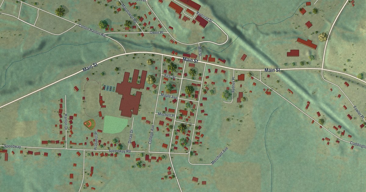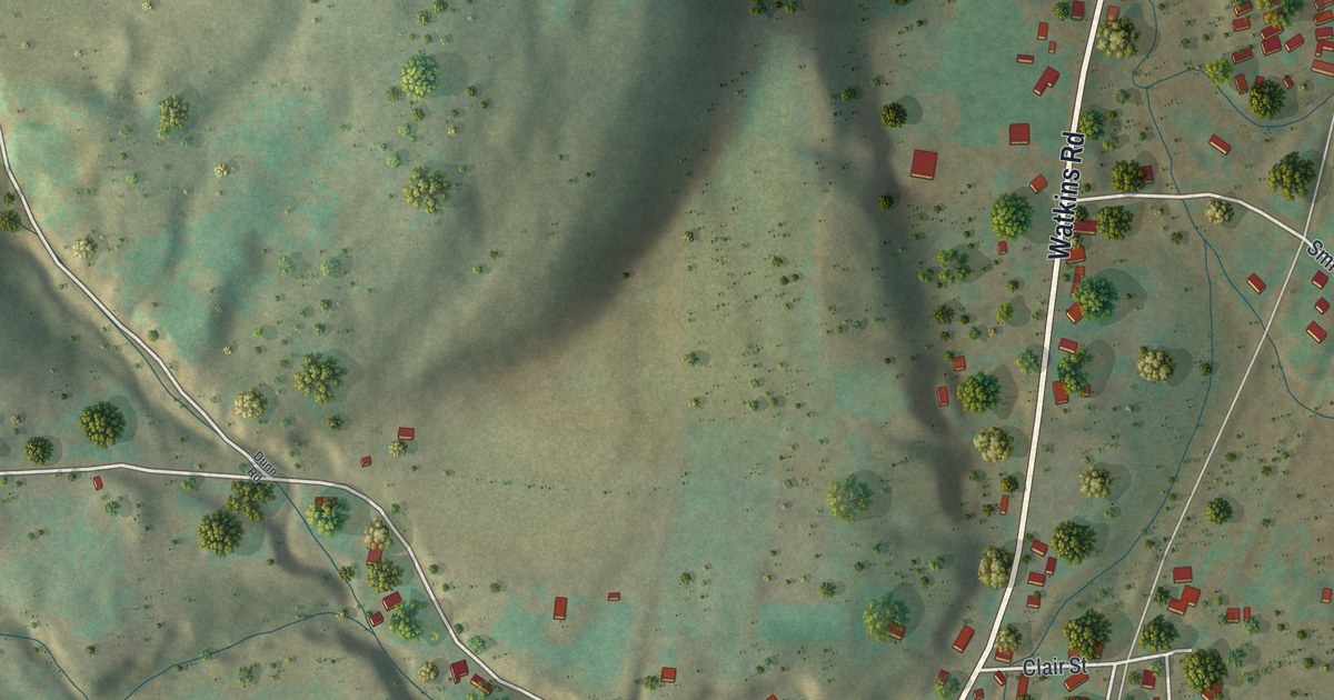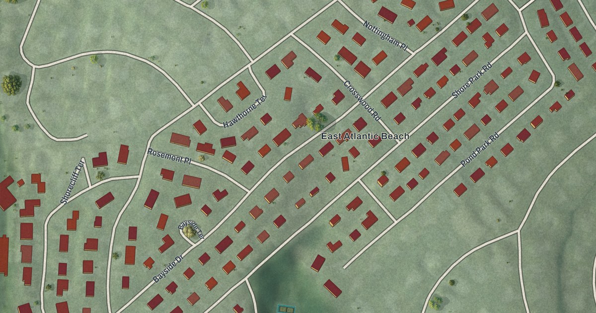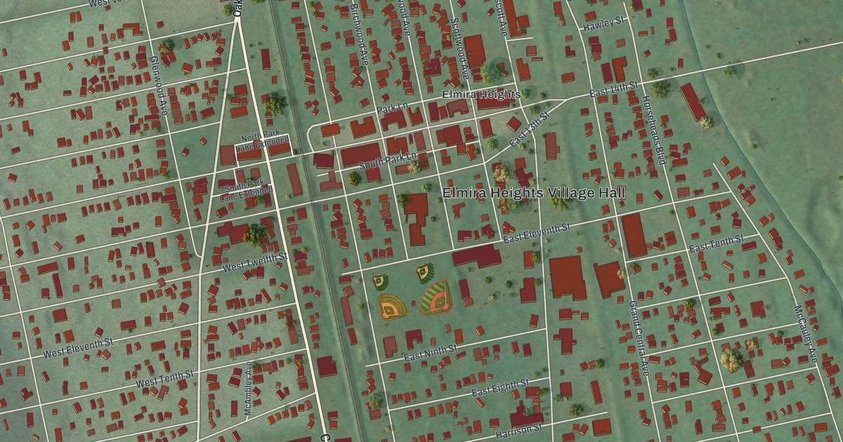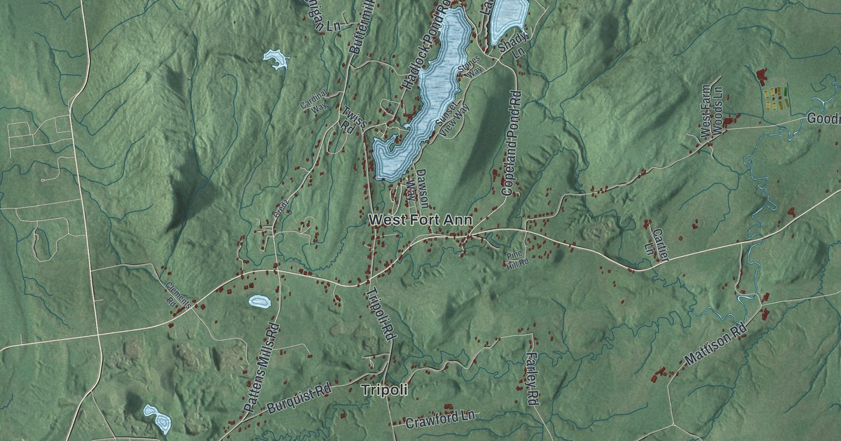
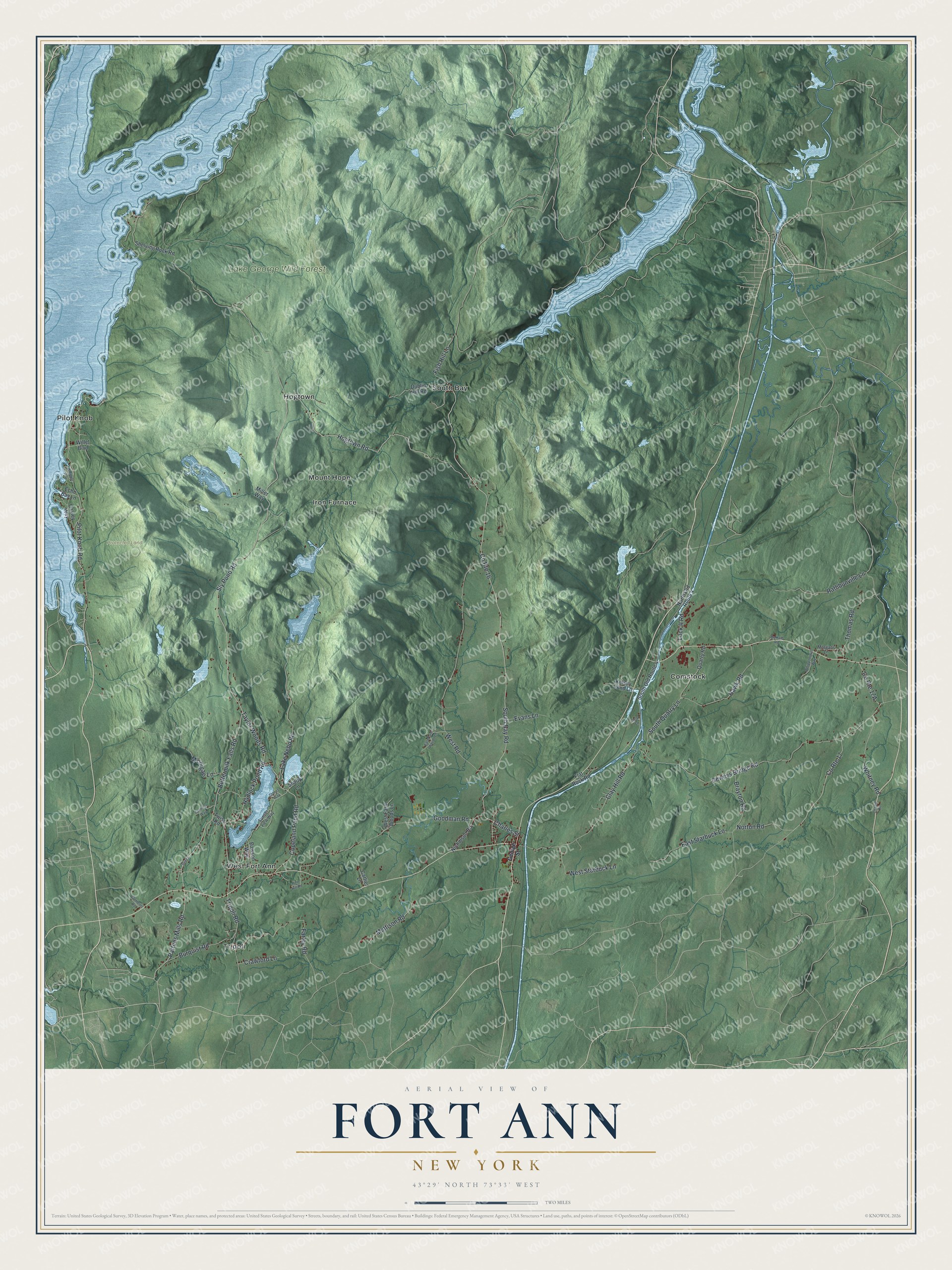
This beautifully detailed map of Fort Ann, New York was created in 2026 using aerial imagery combined with modern topographical, census, street and landmark data. It’s a one-of-a-kind view of Fort Ann that combines accurate data with a vintage aesthetic. The map shows every building in its true location, many of the roads carry their names, and the shaded topographic relief shows the shape of the land.
Explore an aerial view of Fort Ann, New York
On the map you’ll find Comstock, Hogtown, Iron Furnace, Mount Hope, Pilot Knob, and Lake George Wild Forest, along with George Street, Sly Pond Road, Hogtown Road, Buttermilk Falls Road, Copeland Pond Road, and more. If you look closely you can even find your house accurately drawn in its correct location. Zoom in on the preview to look for yours.
Did You Know?
In 1711, Francis Nicholson and his English army built the Queen’s Fort here. It was later renamed Fort Anne for Queen Anne of Great Britain. The town began in 1786 as Westfield. It took the name Fort Ann in 1808.
Take a closer look at the Fort Ann map
Names on this map
These names are printed on this map.
Places: Lake George Wild Forest, Protected Land, Comstock, Hogtown, Iron Furnace, Mount Hope, Pilot Knob, South Bay, Tripoli and West Fort Ann.
Streets and roads: Sly Pond Road, Hogtown Road, Buttermilk Falls Road, Copeland Pond Road, Pattens Mills Road, Taylor Woods Road, South Bay Road, Hadlock Pond Road, County Route 16, Pilot Knob Road, Lock II Road, Charles Street.
More street names, A to Z
Brayton Road, Burquist Road, Cardinal Way, Cartier Lane, Chapin Road, Clay Hill Road, Clear Lane, Clements Road, County Route 17, Crawford Lane, Credz, Dawson Way, De Kalb Road, Deweys Bridge Road, Dublin Hill Road, East Farm Woods Lane, East Starbuck Lane, Echo Bay Lane, Evans Lane, Farley Road, Fish Hill Lane, Flat Rock Road, George Street, Goodman Road, Hawk Road, Kelsey Pond Lane, Lake Nebo Road, Mattison Road, Michigan Lane, Miller Way, Morgans Lane, Nicholson Road, North Old Route 4, Norton Road, Oakley Way, Pine Hill Road, Quarry Road, Rathbunville Lane, Shady Lane, Shelving Rock Road, South Old Route 4, South Quarry Lane, Stones Way, Sunset View Way, Thomas Road, Tripoli Road, Twiss Road, West Farm Woods Lane, West Road, West Starbuck Lane, Whipple Way, Whippoorwill Way, Whitney Road, Willet Boulevard.
See it on a wall
The Fort Ann map as a framed print. Swipe for more.


This beautifully detailed map of Fort Ann makes an attractive addition to your office, library, or den, and it can even be used to teach children the geography and history of the area. It also makes a great gift for someone who left Fort Ann and still calls it home. When you’re done exploring, click here to get your copy of the Fort Ann map.