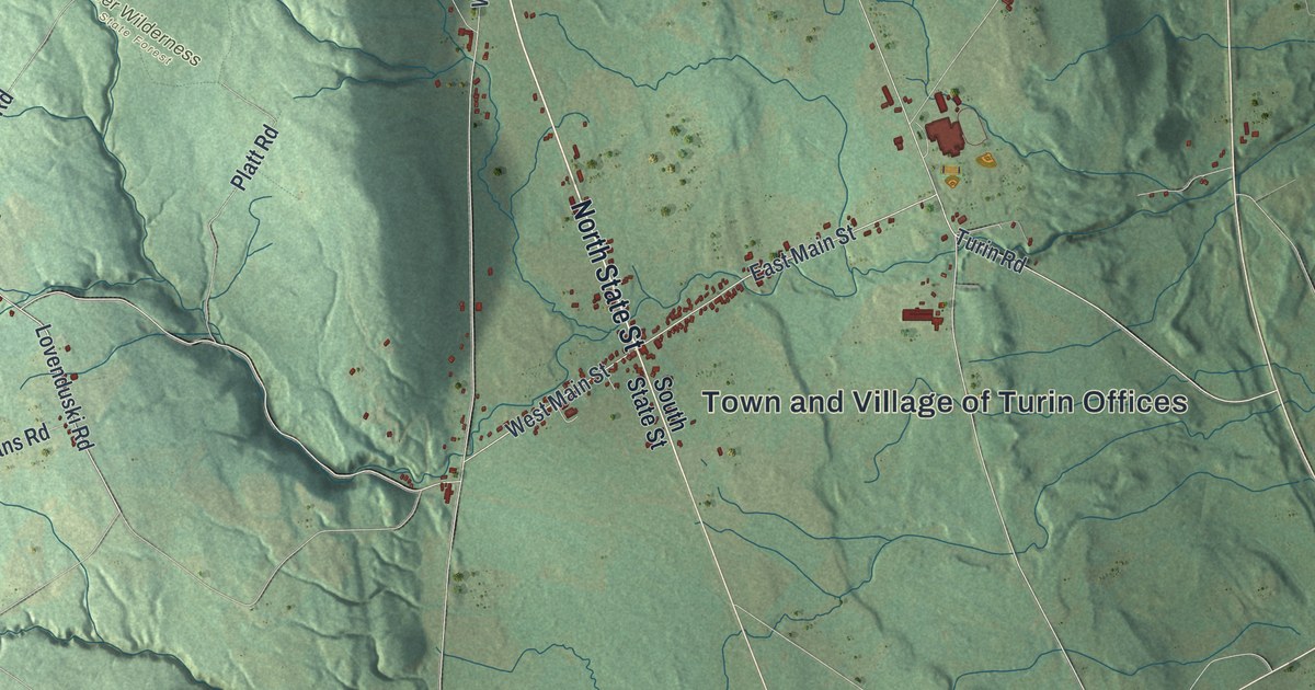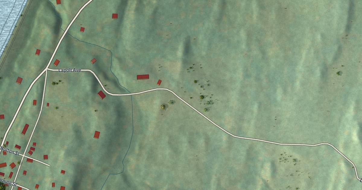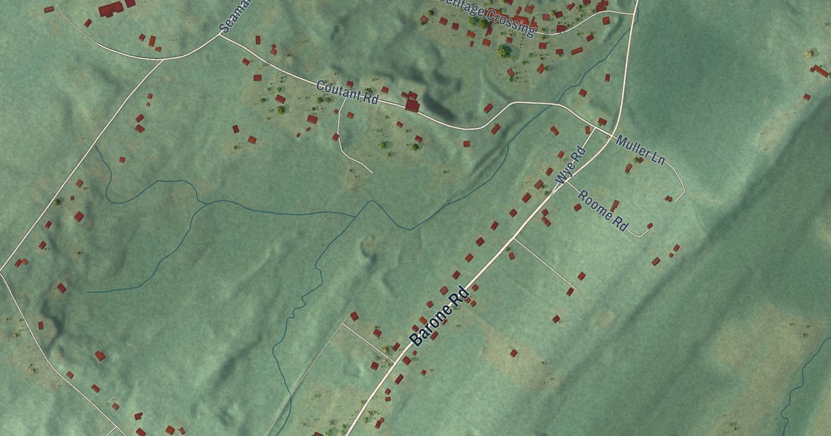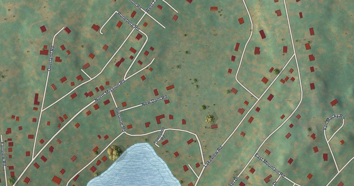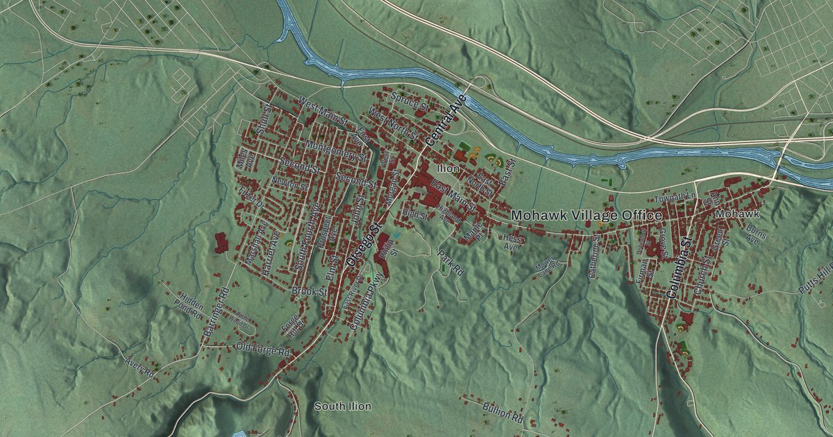
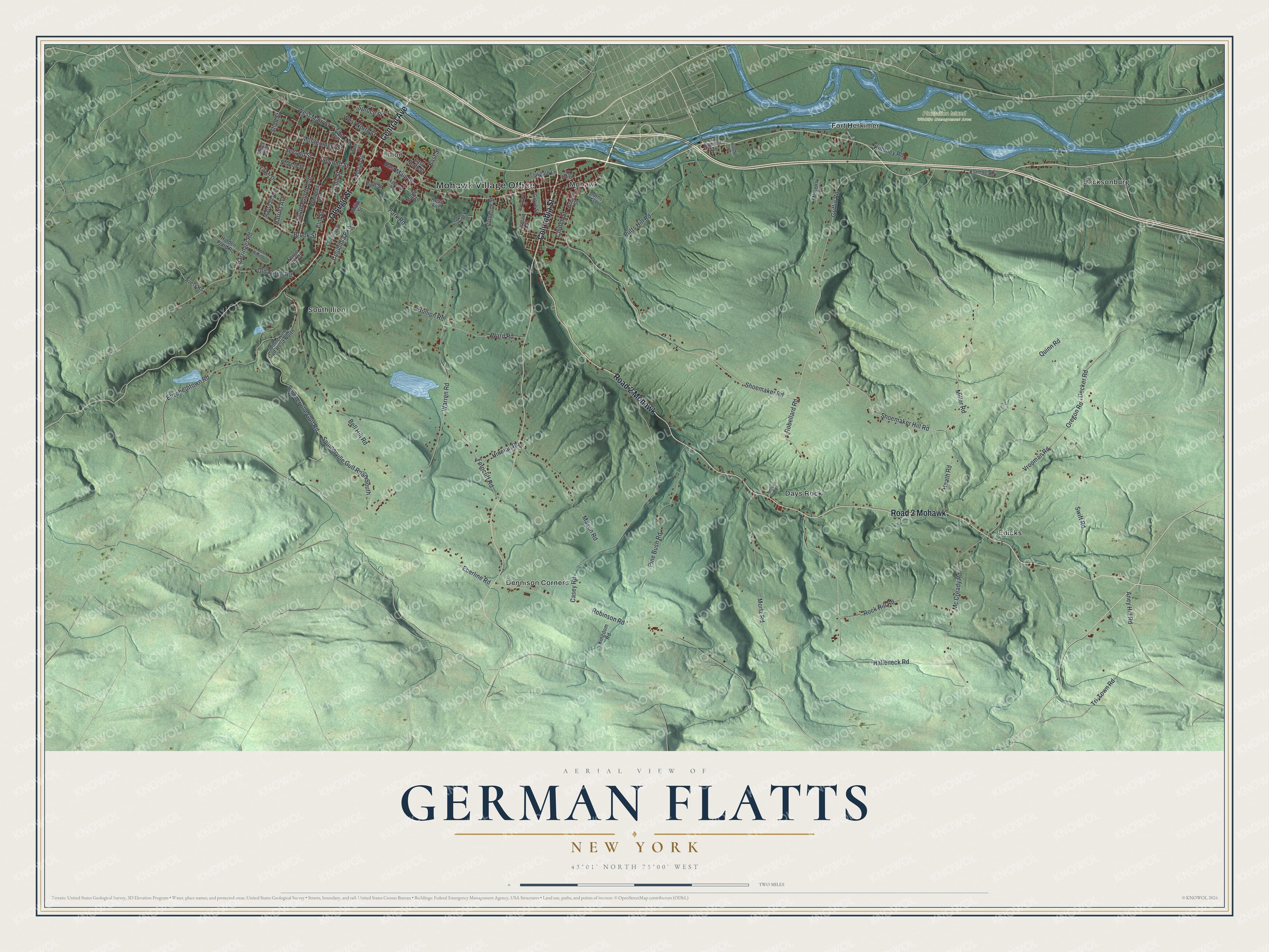
This beautifully detailed map of German Flatts, New York was created in 2026 using aerial imagery combined with modern topographical, census, street and landmark data. It’s a one-of-a-kind view of German Flatts that combines accurate data with a vintage aesthetic. The map shows every building in its true location, many of the roads carry their names, and the shaded topographic relief shows the shape of the land.
Explore an aerial view of German Flatts, New York
On the map you’ll find Mohawk Village Office, Days Rock, Dennison Corners, Edicks, Fort Herkimer, Ilion, and Plantation Island Wildlife Management Area, along with Central Avenue, Otsego Street, Columbia Street, Main Street, and more. If you look closely you can even find your house accurately drawn in its correct location. Zoom in on the preview to look for yours.
Did You Know?
On September 17, 1778, Joseph Brant led Iroquois and Loyalist raiders against German Flatts. A day earlier, scout Adam Helmer had run 35 miles to warn the settlers. Most families reached Fort Herkimer and Fort Dayton in time. The raiders burned 63 houses and 57 barns, yet only three men died.
Take a closer look at the German Flatts map
Names on this map
These names are printed on this map.
Places: Mohawk Village Office, Plantation Island Wildlife Management Area, Days Rock, Dennison Corners, Edicks, Fort Herkimer, Ilion, Jacksonburg, Mohawk and South Ilion.
Streets and roads: Central Avenue, Road 2 Mohawk, Otsego Street, Columbia Street, West Main Street, East Main Street, Shoemaker Hill Road, Second Street, Oregon Road, Shoemaker Road, Decker Road, Heath Road.
More street names, A to Z
Aney Hill Road, Ann Street, Apple Wood Drive, Avery Road, Barringer Road, Bell Hill Road, Brook Street, Bullion Road, Burns Avenue, Casey Road, Catherine Street, Church Street, Columbia Parkway, Devendorf Street, East North Street, East River Drive, East Street, Eberline Road, Elizabethtown Road, Elm Street, Ferncliff Road, Firman Street, First Avenue, Fitzer Drive, Forge Hill Drive, Green Street, Griffin Road, Grove Street, Halleneck Road, Harriet Avenue, Hess Avenue, Hidden Pond Road, Highland Avenue, High Street, Hinman Road, John Street, Kanzog Road, Kiddney Road, Kingdom Road, Maple Place, Marshall Avenue, Mason Road, Mc Cready Road, McKensy Place, Miles Avenue, Miller Road, Montgomery Street, Morgan Street, Mortz Road, Mower Lane Road, Nelson Road, Newton Street, Old Forge Road, Park Road, Philip Street, Pine Bush Road, Prospect Avenue, Putts Hill Road, Quinn Road, Robellard Road, Robinson Road, Rock Hill Road, Shull Street, South Fourth Avenue, Spinnerville Gulf Road, Spinnerville Gulf Road North, Spinnerville Gulf Road South, Spruce Street, Summit Avenue, Swift Road, Towpath Lane, Tri-Town Road, Vrooman Road, Ward Road, Warren Road, Warsaw Road, West North Street, West Street.
See it on a wall
The German Flatts map as a framed print. Swipe for more.


This beautifully detailed map of German Flatts makes an attractive addition to your office, library, or den, and it can even be used to teach children the geography and history of the area. It also makes a great gift for anyone who grew up in German Flatts or moved away. When you’re done exploring, click here to get your copy of the German Flatts map.