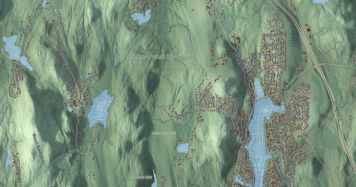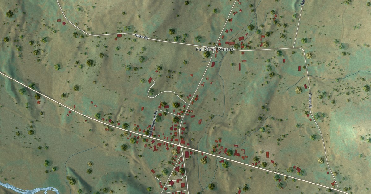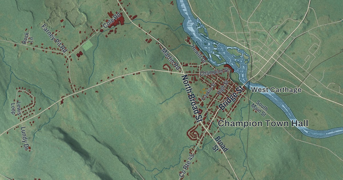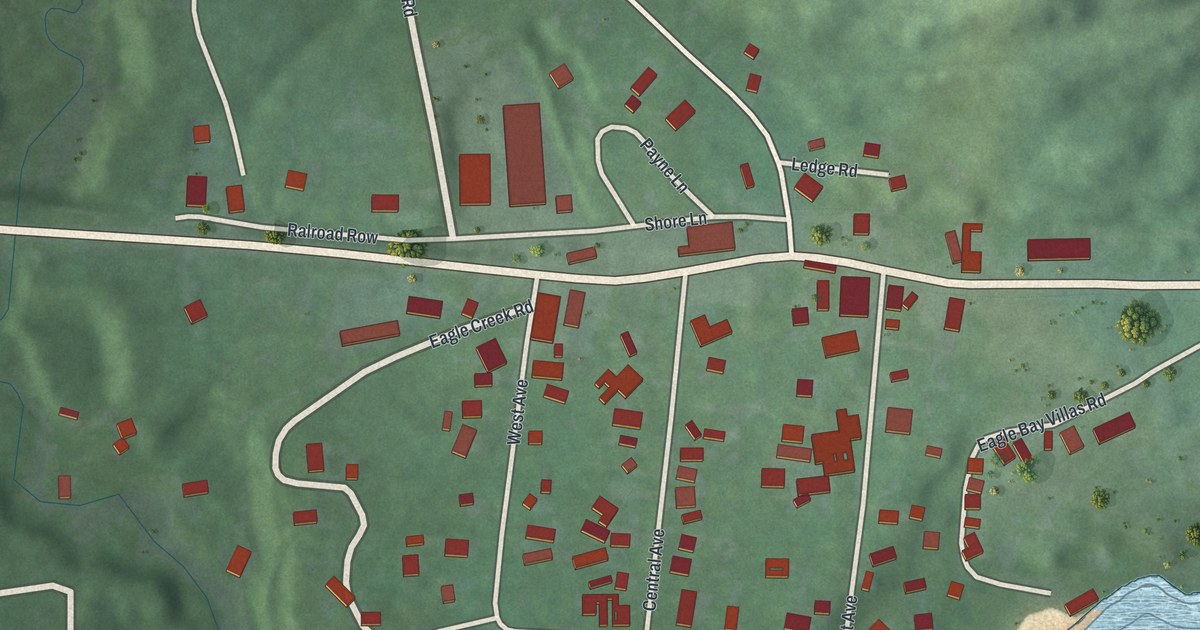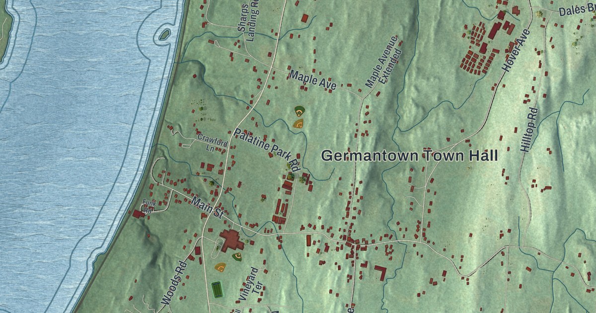
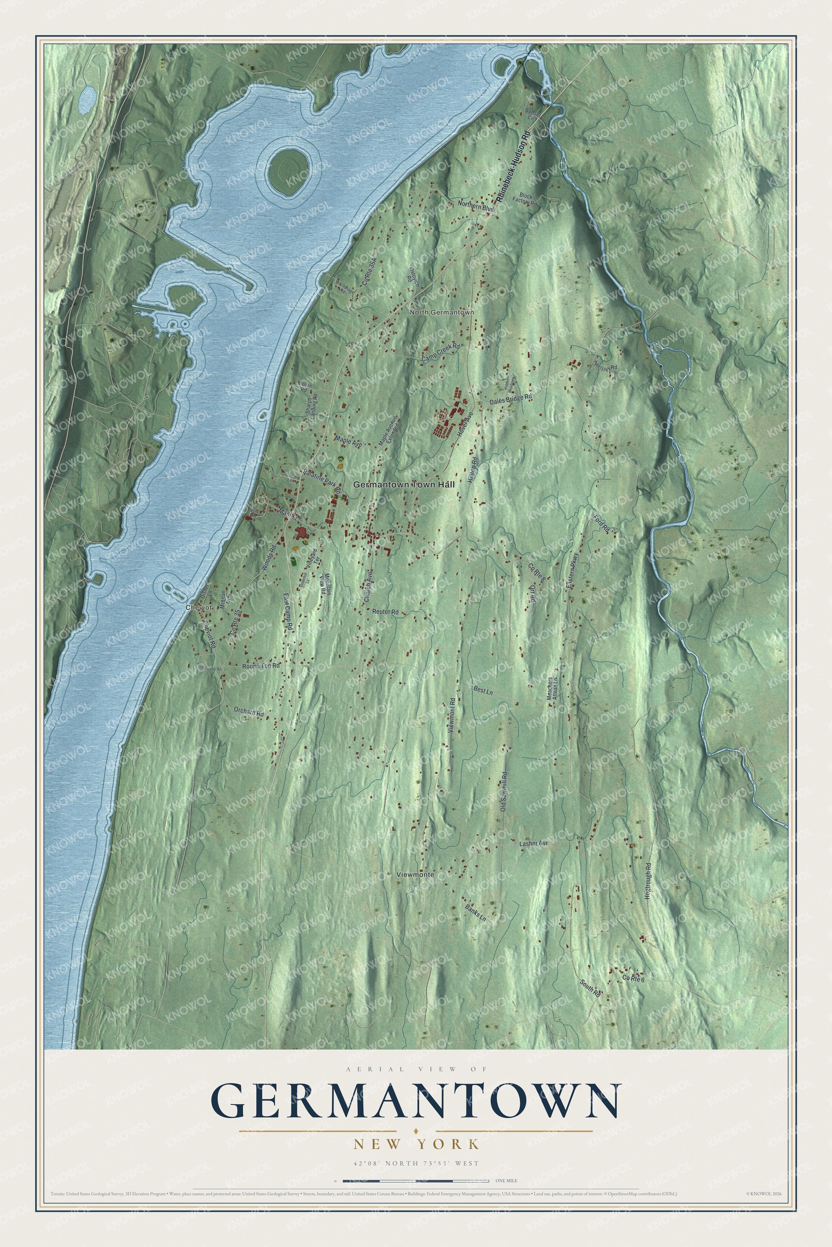
This beautifully detailed map of Germantown, New York was created in 2026 using aerial imagery combined with modern topographical, census, street and landmark data. It’s a one-of-a-kind view of Germantown that combines accurate data with a vintage aesthetic. The map shows every building in its true location, many of the roads carry their names, and the shaded topographic relief shows the shape of the land.
Explore an aerial view of Germantown, New York
On the map you’ll find Germantown Town Hall, North Germantown, Cheviot, and Viewmonte, along with Rhinebeck-Hudson Road, Ford Road, Orr Road, Church Avenue, and more. If you look closely you can even find your house accurately drawn in its correct location. Zoom in on the preview to look for yours.
Did You Know?
Germantown was first called East Camp. Its colonists said they had been promised their own land in the Schoharie Valley. The camp failed through mismanagement, and government support ended in 1712. Many families scattered, but some accepted Robert Livingston’s terms and stayed in the four villages of his manor. That’s from the 1940 WPA guide to New York.
Take a closer look at the Germantown map
Names on this map
These names are printed on this map.
Places: Germantown Town Hall, North Germantown, Cheviot and Viewmonte.
Streets and roads: Rhinebeck-Hudson Road, County Route 8, Ford Road, Orr Road, Church Avenue, South Road, Old Sawmill Road, Hover Avenue, Viewmont Road, Northern Boulevard, Main Street, Lasher Avenue.
More street names, A to Z
Anchorage Road, Banks Lane, Best Lane, Block Factory Road, Camp Creek Road, Cheviot Road, County Route 6, County Route 35, Crawford Lane, Dales Bridge Road, Disher Lane, East Camp Road, Eastern Parkway, Funk Road, Helsley Road, Hidden Meadows, Hilltop Road, Hogtrough Road, Hunterstown Road, Maple Avenue, Maple Avenue Extended, McLean Avenue, Meachers Attean Lane, Moore Road, Mountain View Road, Orchard Road, Ostoyich Road, Palatine Park Road, Reuter Road, Round Top Road, Sharps Landing Road, Sunset Circle, Underhill Lane, Vineyard Terrace, Woods Road.
See it on a wall
The Germantown map as a framed print. Swipe for more.


This beautifully detailed map of Germantown makes an attractive addition to your office, library, or den, and it can even be used to teach children the geography and history of the area. It also makes a great gift for anyone who grew up in Germantown or moved away. When you’re done exploring, click here to get your copy of the Germantown map.