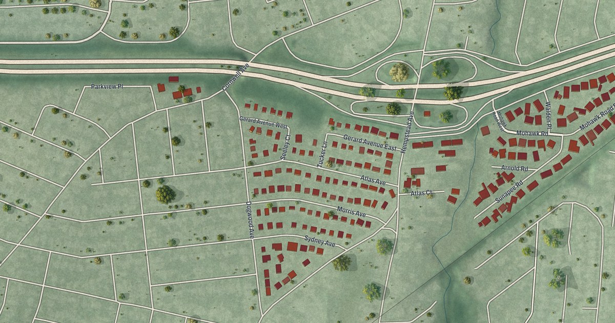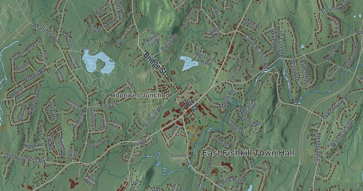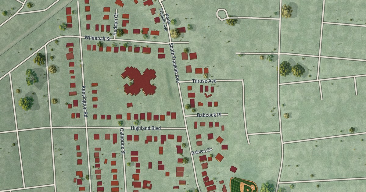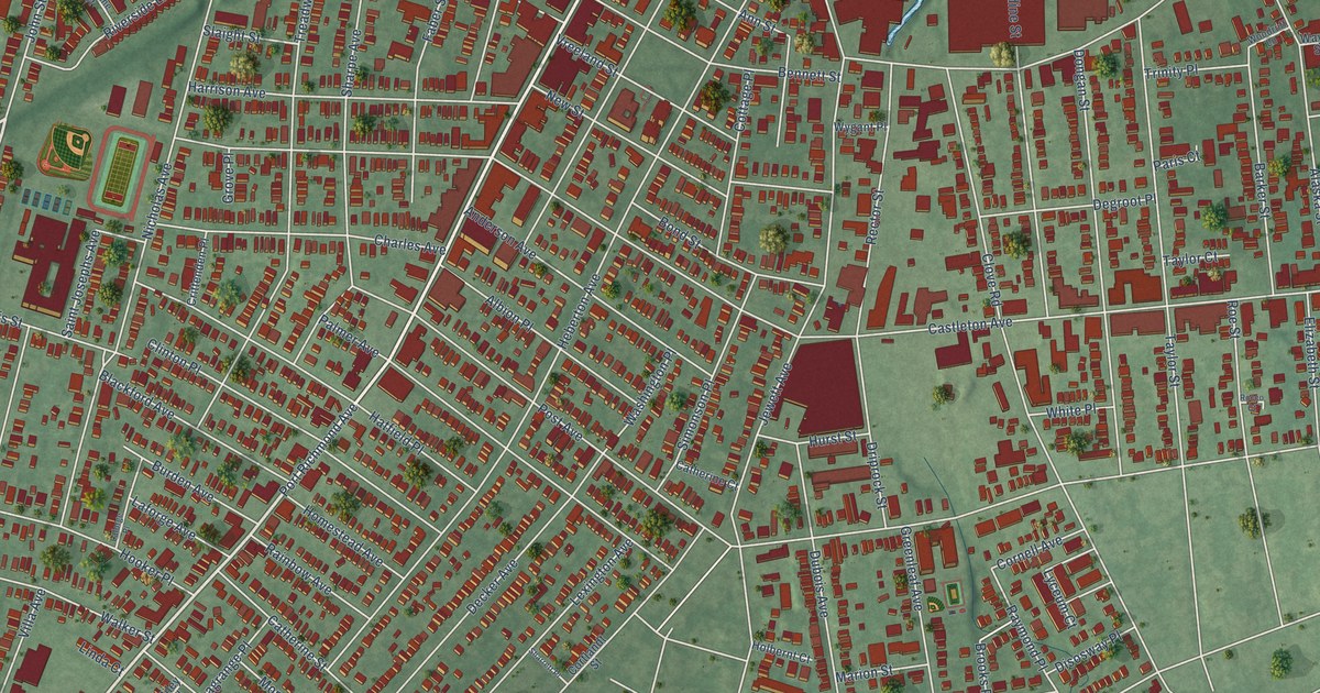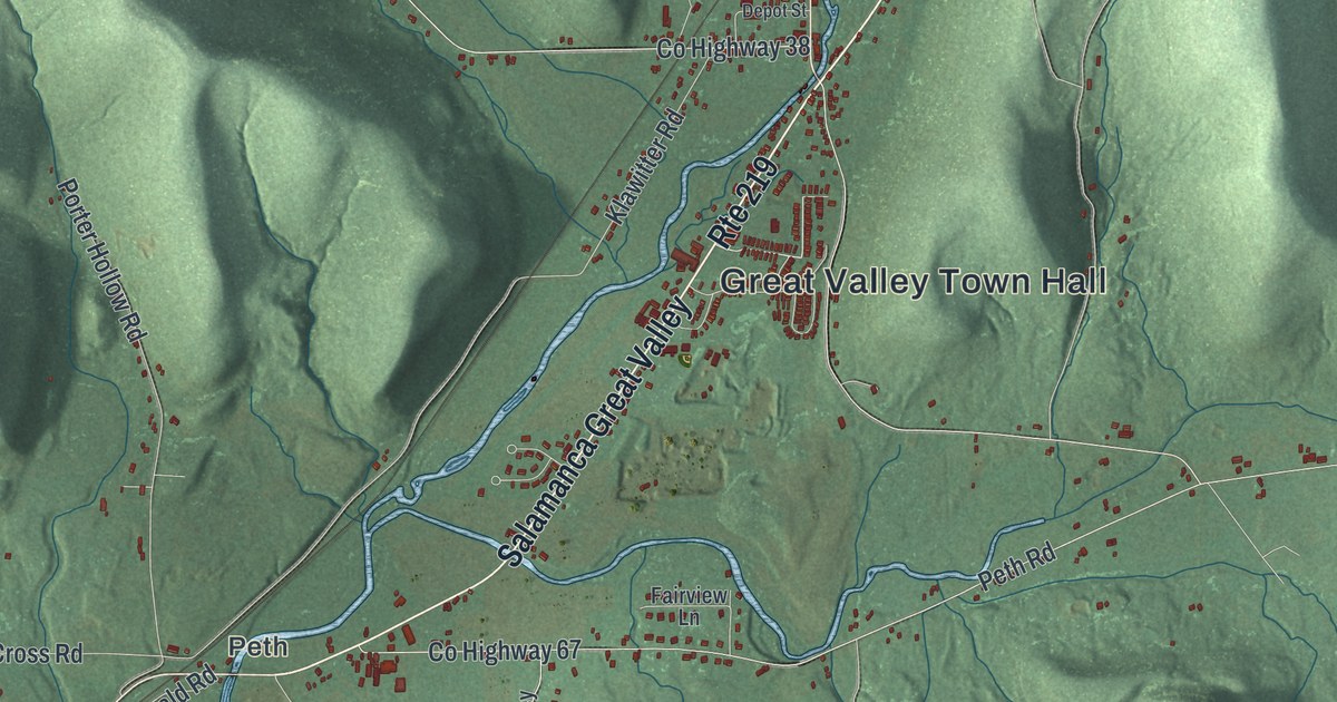
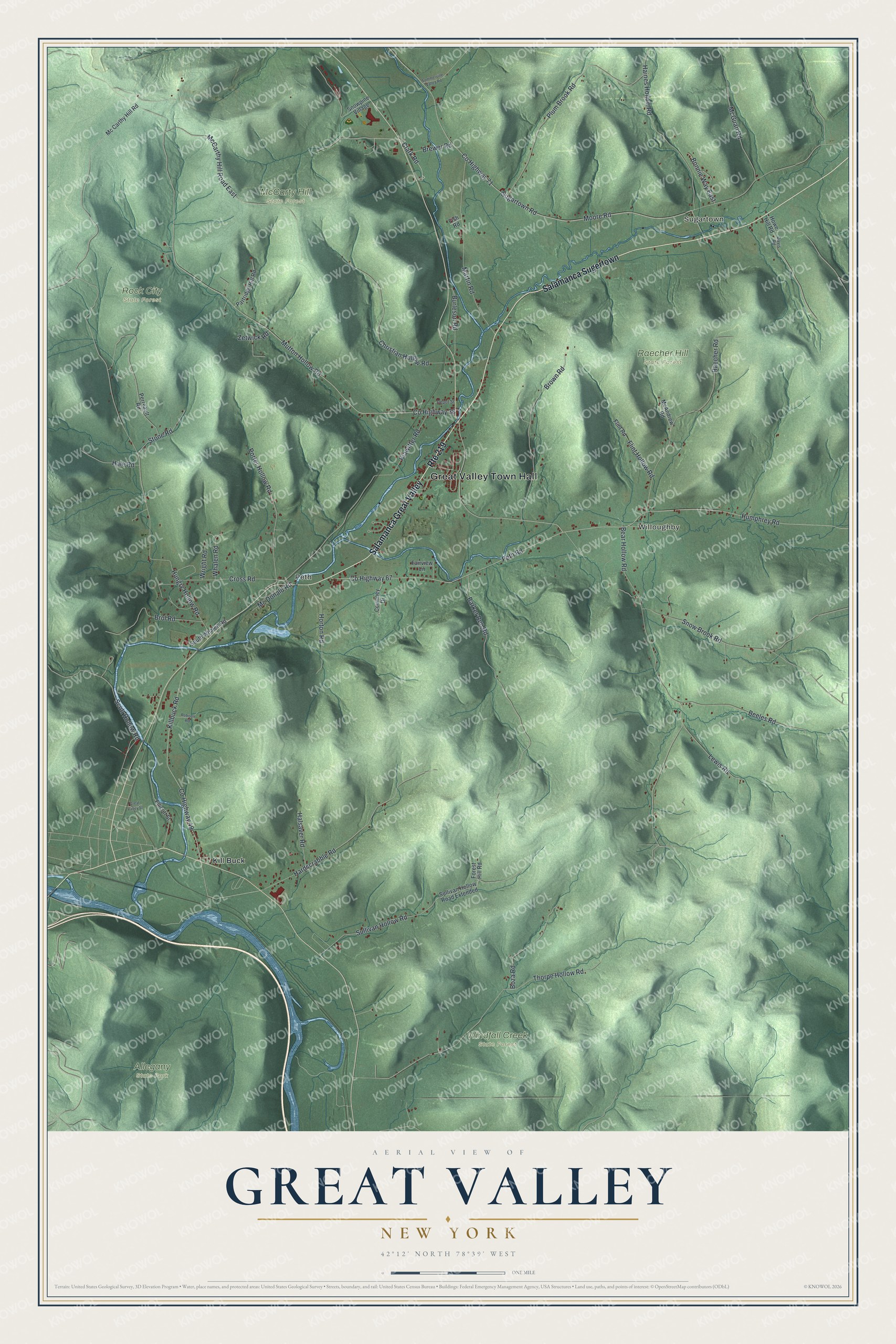
This beautifully detailed map of Great Valley, New York was created in 2026 using aerial imagery combined with modern topographical, census, street and landmark data. It’s a one-of-a-kind view of Great Valley that combines accurate data with a vintage aesthetic. The map shows every building in its true location, many of the roads carry their names, and the shaded topographic relief shows the shape of the land.
Explore an aerial view of Great Valley, New York
On the map you’ll find Great Valley Town Hall, Salamanca Sugertown, Sugartown, Willoughby, Peth, Kill Buck, Allegany State Park, McCarty Hill State Forest, Raecher Hill State Forest, and Rock City State Forest, along with Brewer Road, Clark Road, Moore Road, and more. If you look closely you can even find your house accurately drawn in its correct location. Zoom in on the preview to look for yours.
Did You Know?
Great Valley was named for its setting. It lies along the larger of two Allegheny River tributaries, with neighboring Little Valley on the smaller stream. Settlers arrived around 1812. The first settlement, Kill Buck, took shape in 1818, the same year the town was formed.
Take a closer look at the Great Valley map
Names on this map
These names are printed on this map.
Places: Great Valley Town Hall, Sugartown, Willoughby, Peth, Allegany State Park, McCarty Hill State Forest, Raecher Hill State Forest, Rock City State Forest, Windfall Creek State Forest and Kill Buck.
Streets and roads: Salamanca Great Valley, Salamanca Sugertown, Route 219, Brewer Road, Clark Road, County Highway 38, Moore Road, Mutton Hollow Road, Sugartown Road, Humphrey Road, County Highway 71, Bear Hollow Road.
More street names, A to Z
Barker Run Road, Beeles Road, Bonnie Way East, Boza Road, Brol Road, Brown Road, Burleson Road, Christian Hollow Road, County Highway 49, County Highway 67, Courtney Drive, Cross Road, Davis Road, Depot Street, Ellicott Street, Fairview Lane, Fish Road, Flint Hollow Road, Flint Road, Forest Hill Road, Great Valley Street, Haines Hollow Road, Hale Road, Halsaver Road, Hardscrabble Road, Horton Road, Howe Hill Road, Hungry Hollow Road, Killbuck Road, Klawitter Road, Lewis Road, Martin Road, McAndrew Road, Mc Carthy Hill Road, McCarthy Hill Road East, Mc Donald Road, McGuan Road, Partridge Hill Road, Perreault Road, Peth Road, Plum Brook Road, Porter Hollow Road, Raecher Road, Robison Road, Scott Hollow Road, Snow Brook Road, Snowpine Village, Sommerville Valley Road, South Whalen Road, Stone Road, Sullivan Hollow Road, Sullivan Hollow Road Extended, Thorpe Hollow Road, Whalen Road, Wright Road, Zetwick Road.
See it on a wall
The Great Valley map as a framed print. Swipe for more.


This beautifully detailed map of Great Valley makes an attractive addition to your office, library, or den, and it can even be used to teach children the geography and history of the area. It also makes a great gift for anyone with Great Valley roots. When you’re done exploring, click here to get your copy of the Great Valley map.