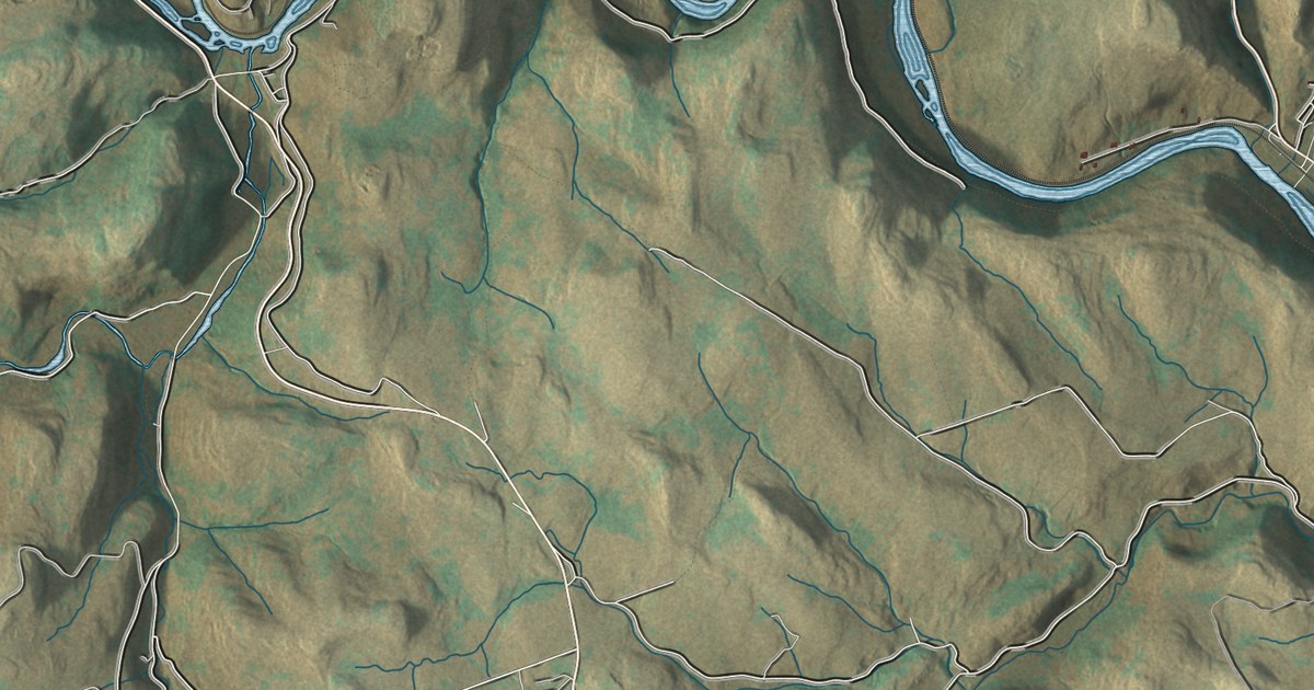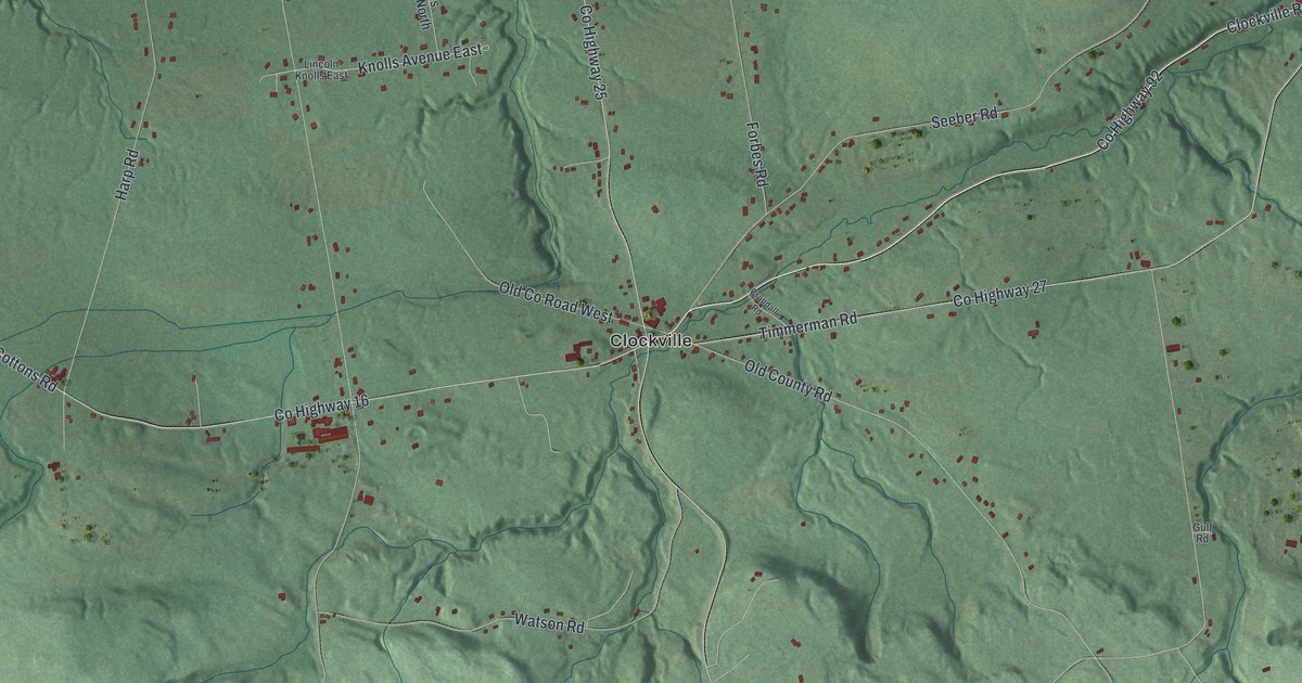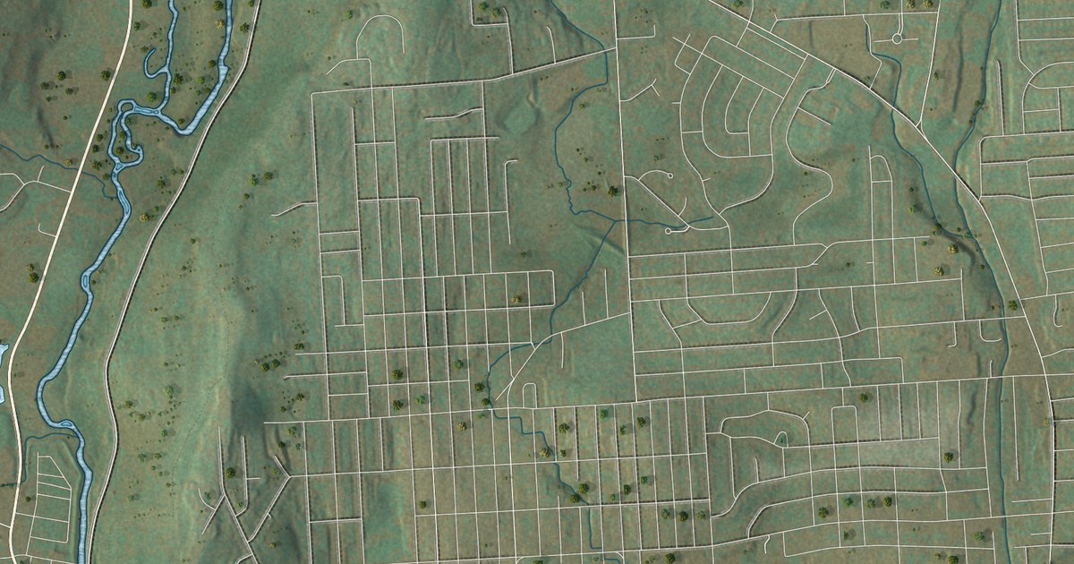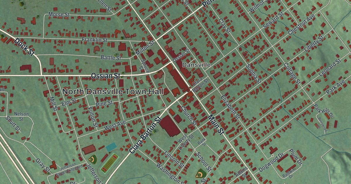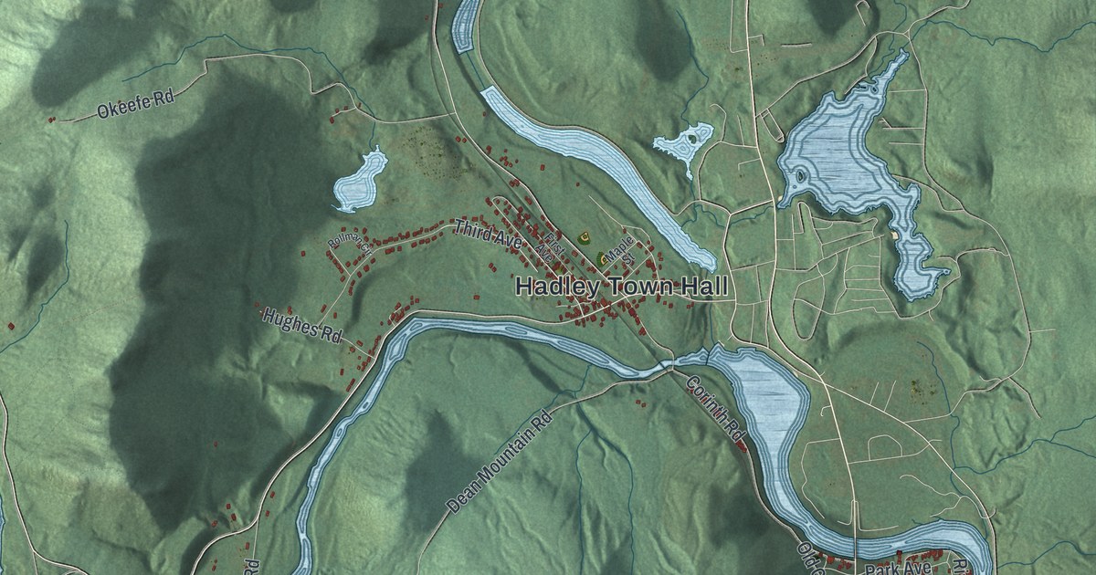
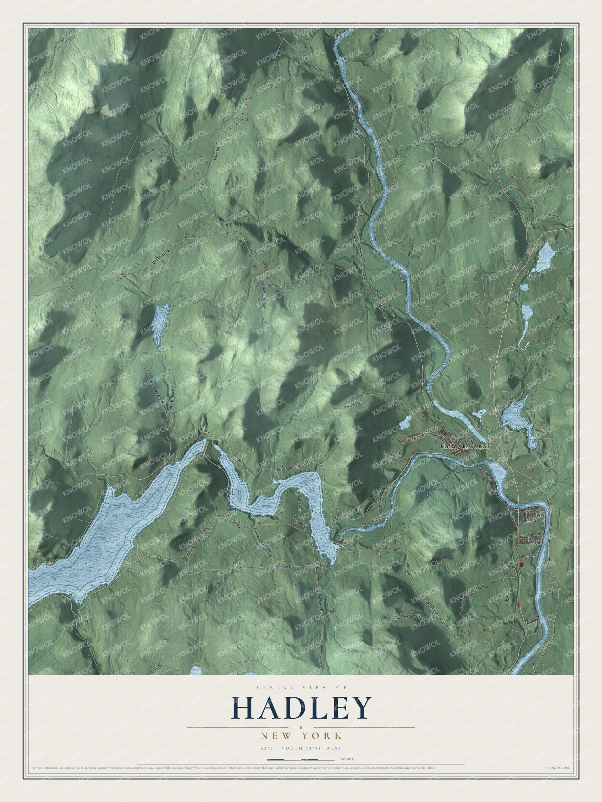
This beautifully detailed map of Hadley, New York was created in 2026 using aerial imagery combined with modern topographical, census, street and landmark data. It’s a one-of-a-kind view of Hadley that combines accurate data with a vintage aesthetic. The map shows every building in its true location, many of the roads carry their names, and the shaded topographic relief shows the shape of the land.
Explore an aerial view of Hadley, New York
On the map you’ll find Hadley Town Hall, along with Shore Road, Parker Road, No Shore Road, Third Avenue, and more. If you look closely you can even find your house accurately drawn in its correct location. Zoom in on the preview to look for yours.
Did You Know?
Hadley took its name from Hadley, Massachusetts. The first settler came around 1788. Greenfield and Northumberland each gave land when the town was formed in 1801. In 1930 the Conklingville Dam was built near the western edge of town. It formed the Sacandaga Reservoir and held back floods.
Take a closer look at the Hadley map
Names on this map
These names are printed on this map.
Places: Hadley Town Hall.
Streets and roads: North Shore Road, South Shore Road, Parker Road, No Shore Road, Third Avenue, West Stony Creek Road, Hunt Lake Road, Old Corinth Road, Hadley Hill Road, Tower Road, Eddy Road, Antone Mountain Road.
More street names, A to Z
Adirondack Road, Antone Road, Bell Brook Road, Bunzey Mountain Road, Byron Way, Corinth Road, County Route 7, Cr 7, Dean Mountain Road, First Avenue, Gilbert Lane, Golfview Road, Grouse Ridge Road, Harris Road, Hughes Road, James Road, Kathan Road, Kings Road, Leona Drive, Maple Street, Millart Drive, Mosher Road, Niblic Road, Okeefe Road, Orion Drive, Overlook Cemetery Road, Park Avenue, Riverview Drive, Rollman Circle, Sande Lane, Stewart Bridge Road, Walter Maxfield Road, Will White Road.
See it on a wall
The Hadley map as a framed print. Swipe for more.


This beautifully detailed map of Hadley makes an attractive addition to your office, library, or den, and it can even be used to teach children the geography and history of the area. It also makes a great gift for someone who left Hadley and still calls it home. When you’re done exploring, click here to get your copy of the Hadley map.