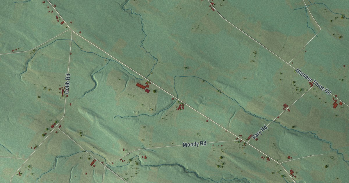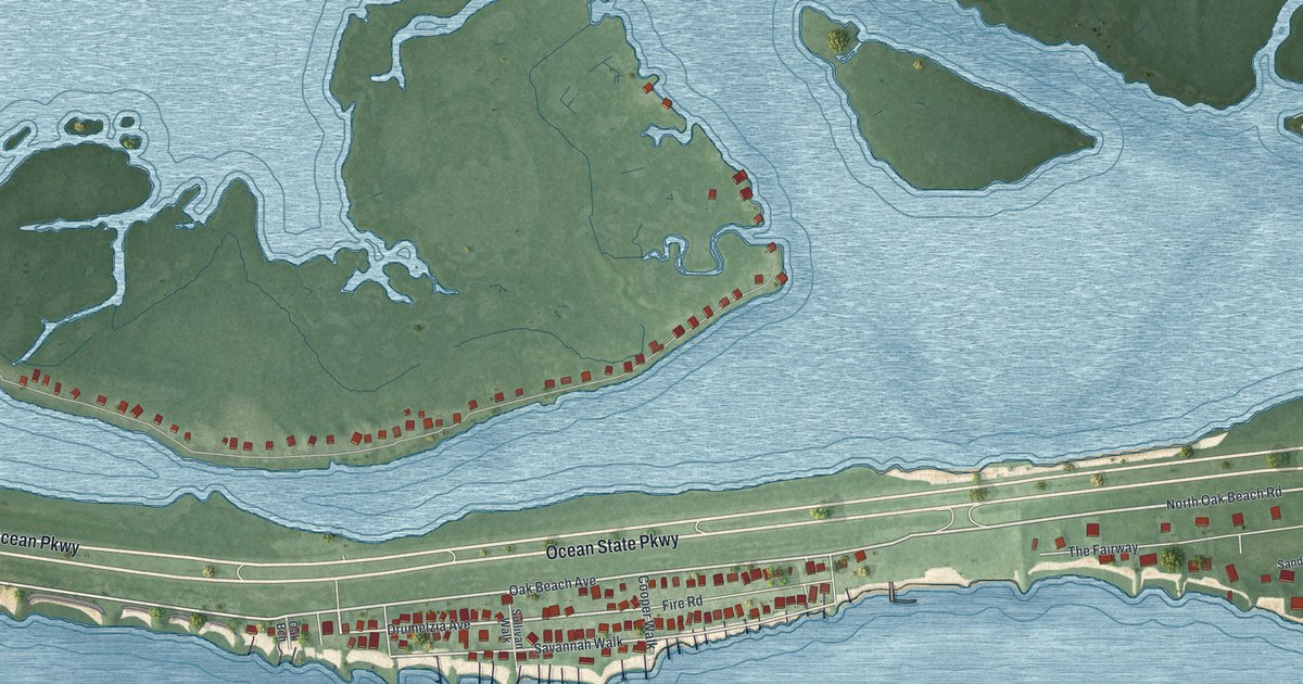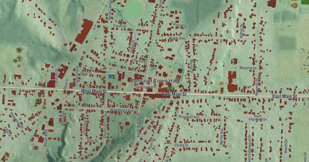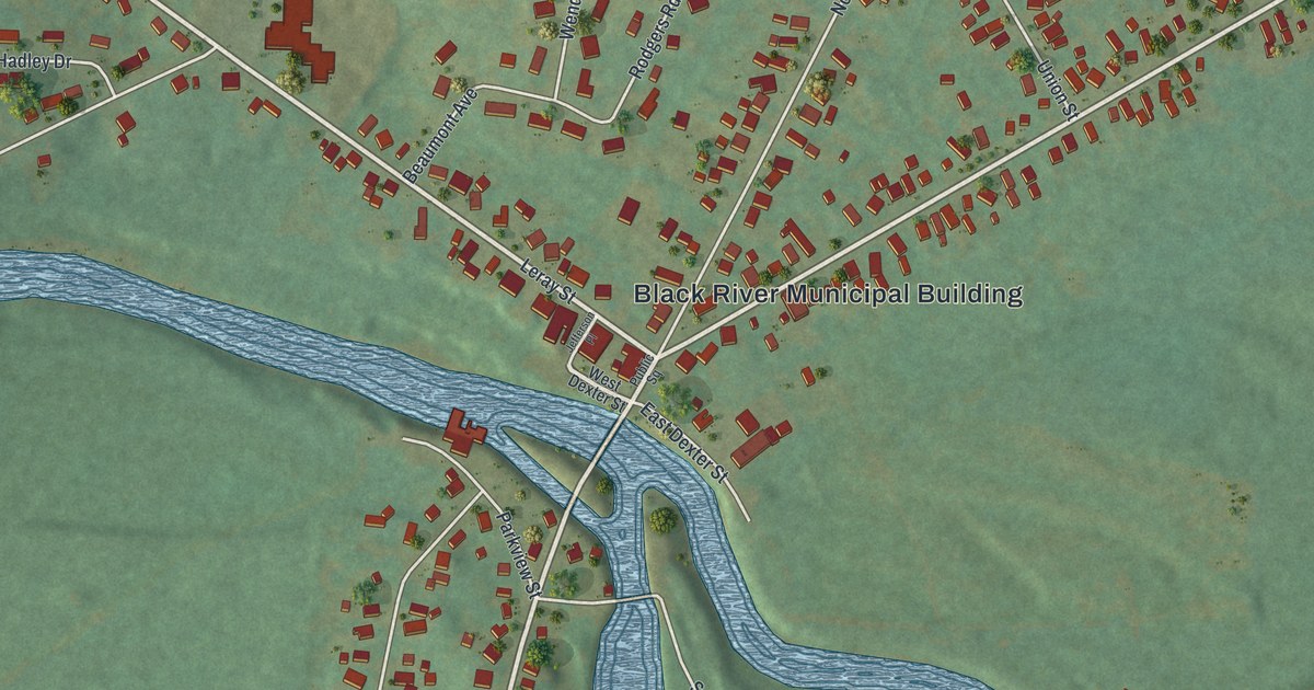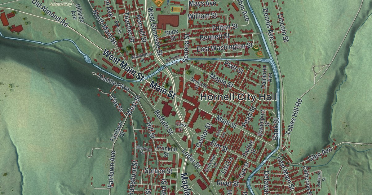
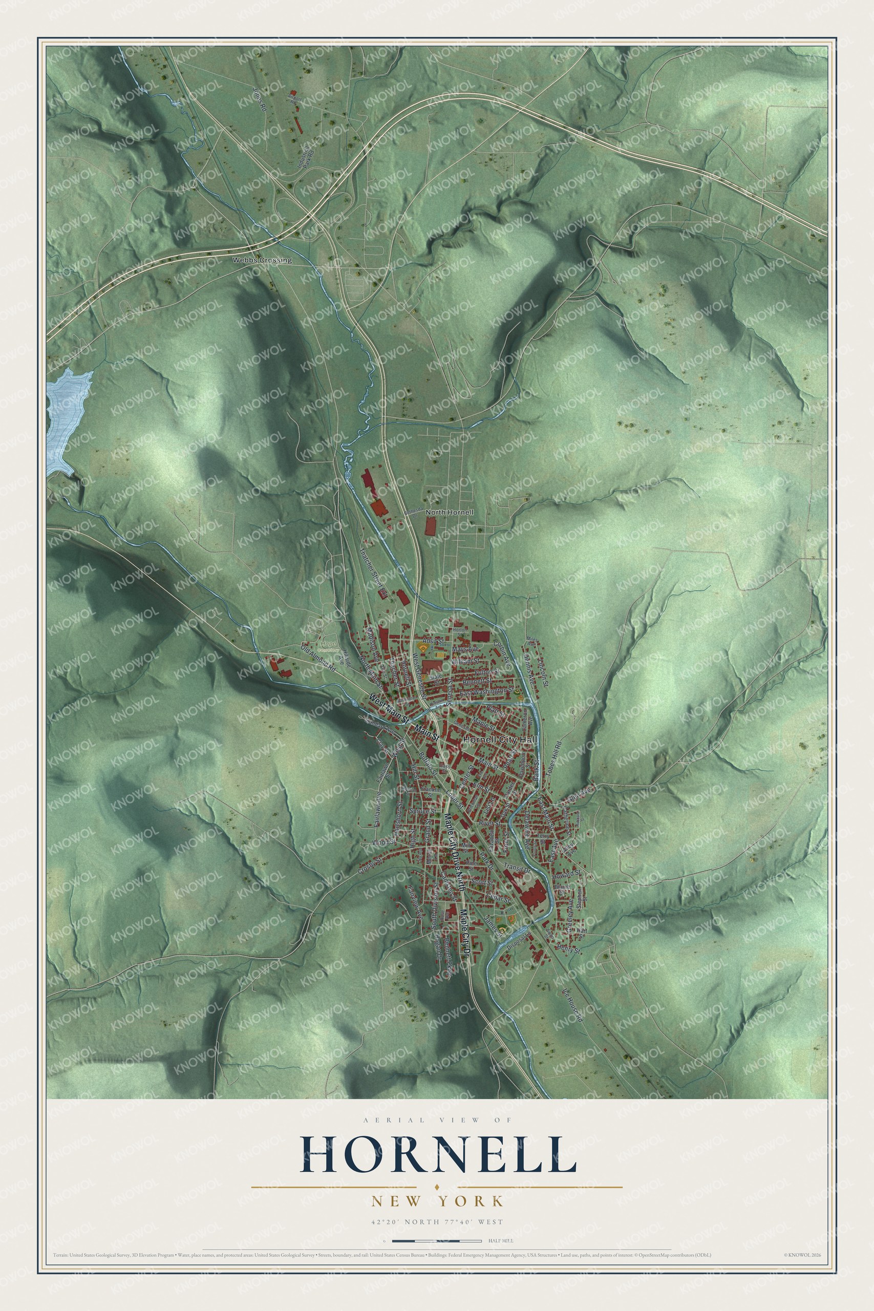
This beautifully detailed map of Hornell, New York was created in 2026 using aerial imagery combined with modern topographical, census, street and landmark data. It’s a one-of-a-kind view of Hornell that combines accurate data with a vintage aesthetic. The map shows every building in its true location, many of the roads carry their names, and the shaded topographic relief shows the shape of the land.
Explore an aerial view of Hornell, New York
On the map you’ll find Hornell City Hall, North Hornell, Webbs Crossing, and Hope Cemetery, along with Main Street, Maple City Drive, West Street, Loder Street, and more. If you look closely you can even find your house accurately drawn in its correct location. Zoom in on the preview to look for yours.
Did You Know?
Hornell was made by the Erie Railroad. In September 1850, a tiny locomotive named the Orange No. 4 pulled the first train into Hornellsville. The village then had about 100 scattered houses, two churches and two schools. By 1940 the railroad shops employed 1,400 people. That’s from the 1940 WPA guide to New York.
Take a closer look at the Hornell map
Names on this map
These names are printed on this map.
Places: Hornell City Hall, Hope Cemetery, North Hornell and Webbs Crossing.
Streets and roads: Main Street, Maple City Drive North, Maple City Drive, West Main Street, East Main Street, West Street, Loder Street, Canisteo Street, Seneca Street, Glen Avenue, Old Almond Road, Spruce Street.
More street names, A to Z
Adsit Street, Airport Road, Alley Avenue, Bank Street, Bennett Parkway, Bennett Street, Bethesda Drive, Blaine Street, Brickman Lane, Buffalo Street, Cameron Avenue, Cass Street, Catherine Street, Cedar Street, Center Street, Clay Street, Corbin Avenue, Crosby Street, Davenport Street, Delaware Avenue, Dennis Avenue, Disposal Lane, Dye Street, East Avenue, East Washington Street, Elizabeth Street, Elm Street, Erie Avenue, Fairlawn Avenue, Fairlawn Street, Fairview Avenue, Fourth Street, Franklin Street, Front Street, Fulton Street, Genesee Street, Grand Street, Greeley Avenue, Hartshorn Street, Hart Street, Henry Street, High Street, Hillside Avenue, Hill Street, Hogan Drive, Hornell Street, Horton Street, Howard Street, Hubbard Street, Ice House Road, Industrial Park Road, James Street, Jones Road, Lily Avenue, Lincoln Street, Lisi Lane, Madison Avenue, Maple Street, Mays Avenue, Merrill Lane, Miles Avenue, Mill Street, North Main Street, Oak Street, Pardee Street, Park Drive, Pearl Street, Pine Street, Platt Street, Preston Avenue, River Street, Rose Avenue, Scott Street, Sherman Street, South Division Street, Standard Avenue, State Street, Stephen Street, Swan Street, Terry Street, Thacher Street, Thatcher Street Extension, Tobes Hill Road, Transit Drive, Washington Street, West Genesee Street, William Street, Wood Street.
See it on a wall
The Hornell map as a framed print. Swipe for more.


This beautifully detailed map of Hornell makes an attractive addition to your office, library, or den, and it can even be used to teach children the geography and history of the area. It also makes a great gift for someone who left Hornell and still calls it home. When you’re done exploring, click here to get your copy of the Hornell map.