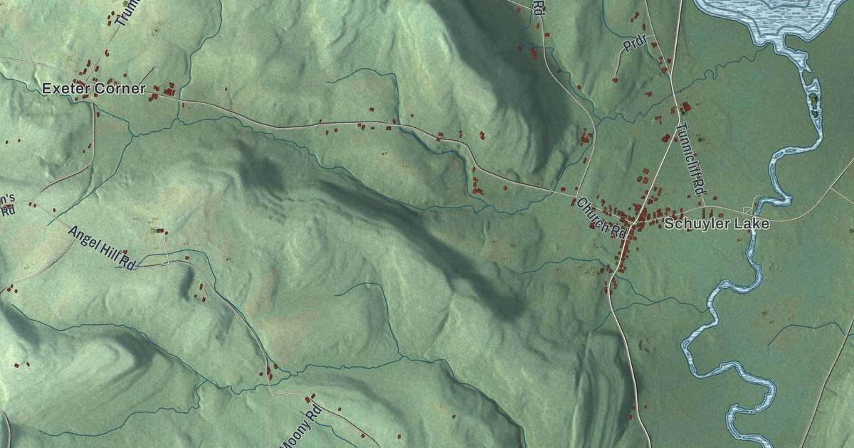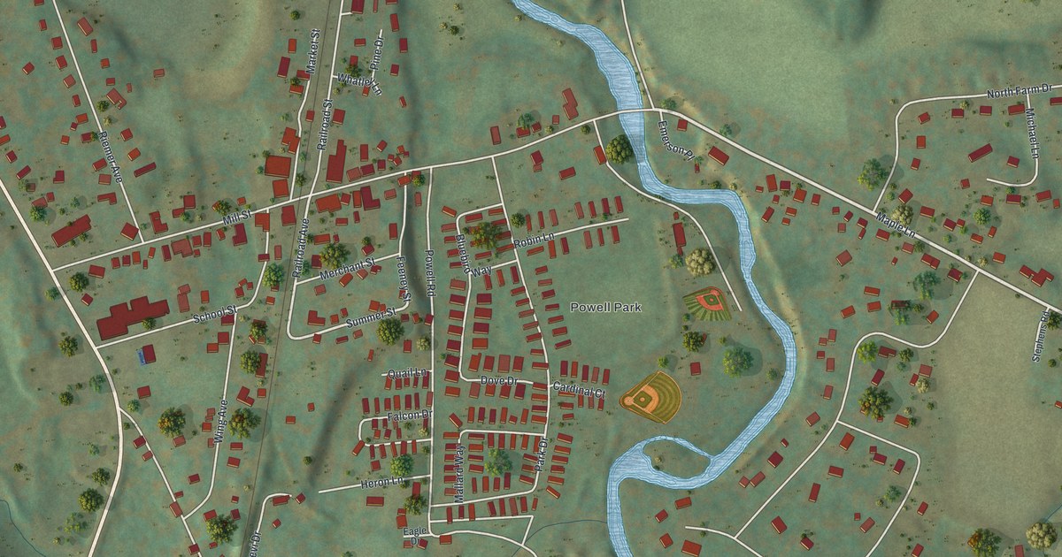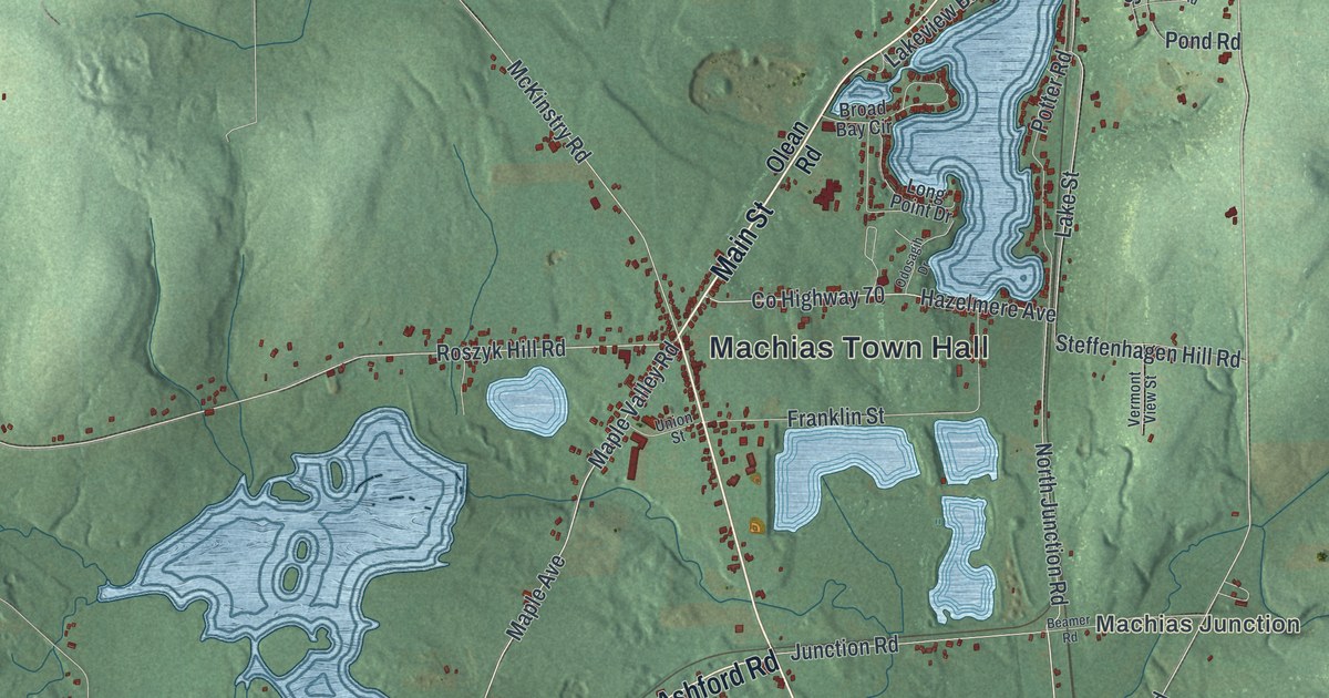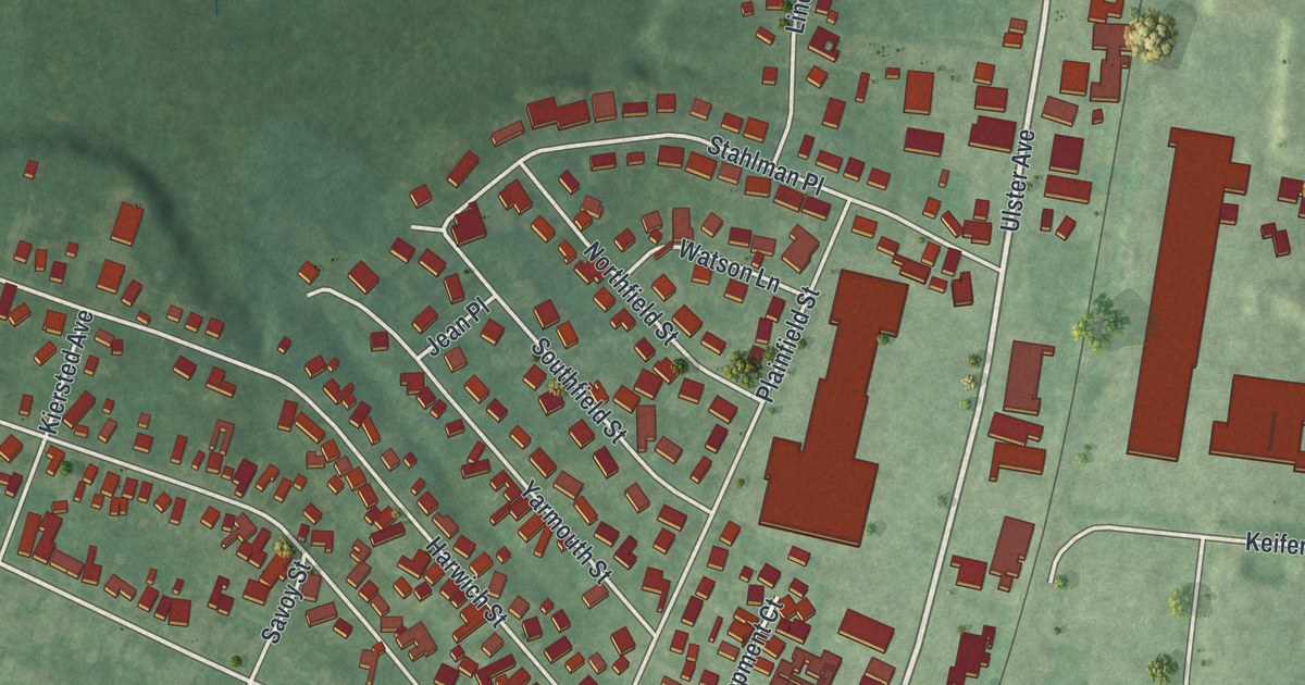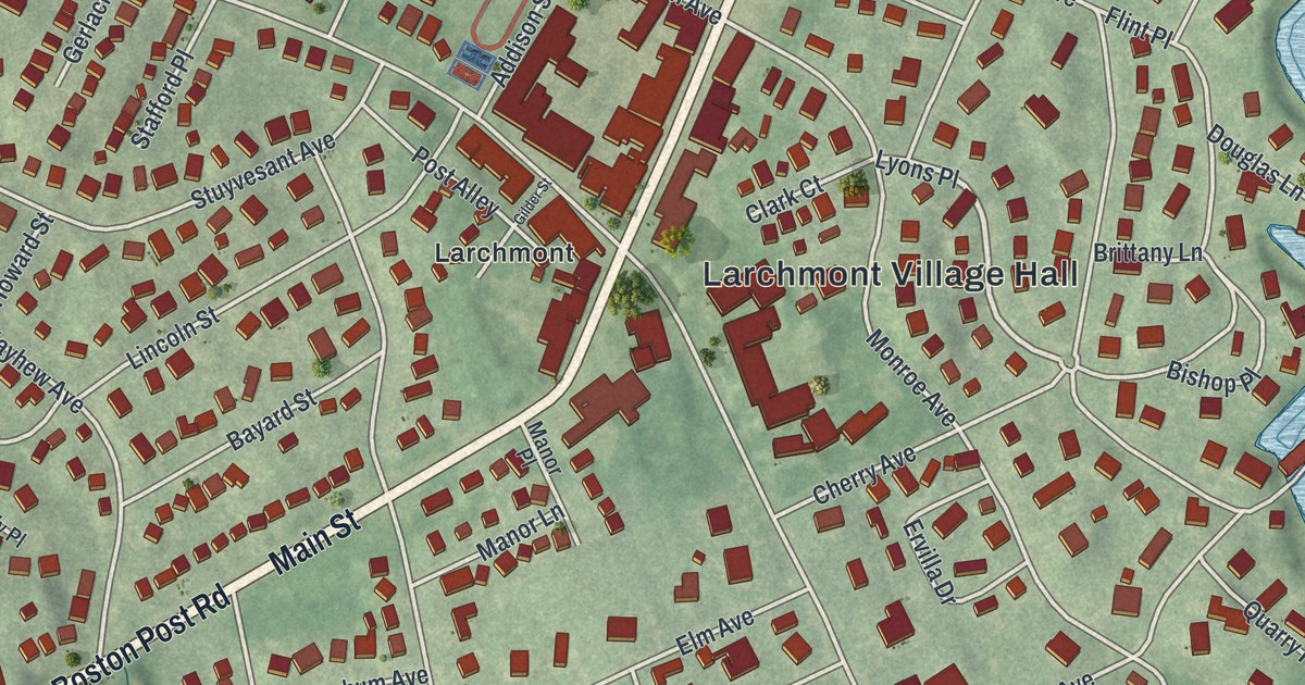
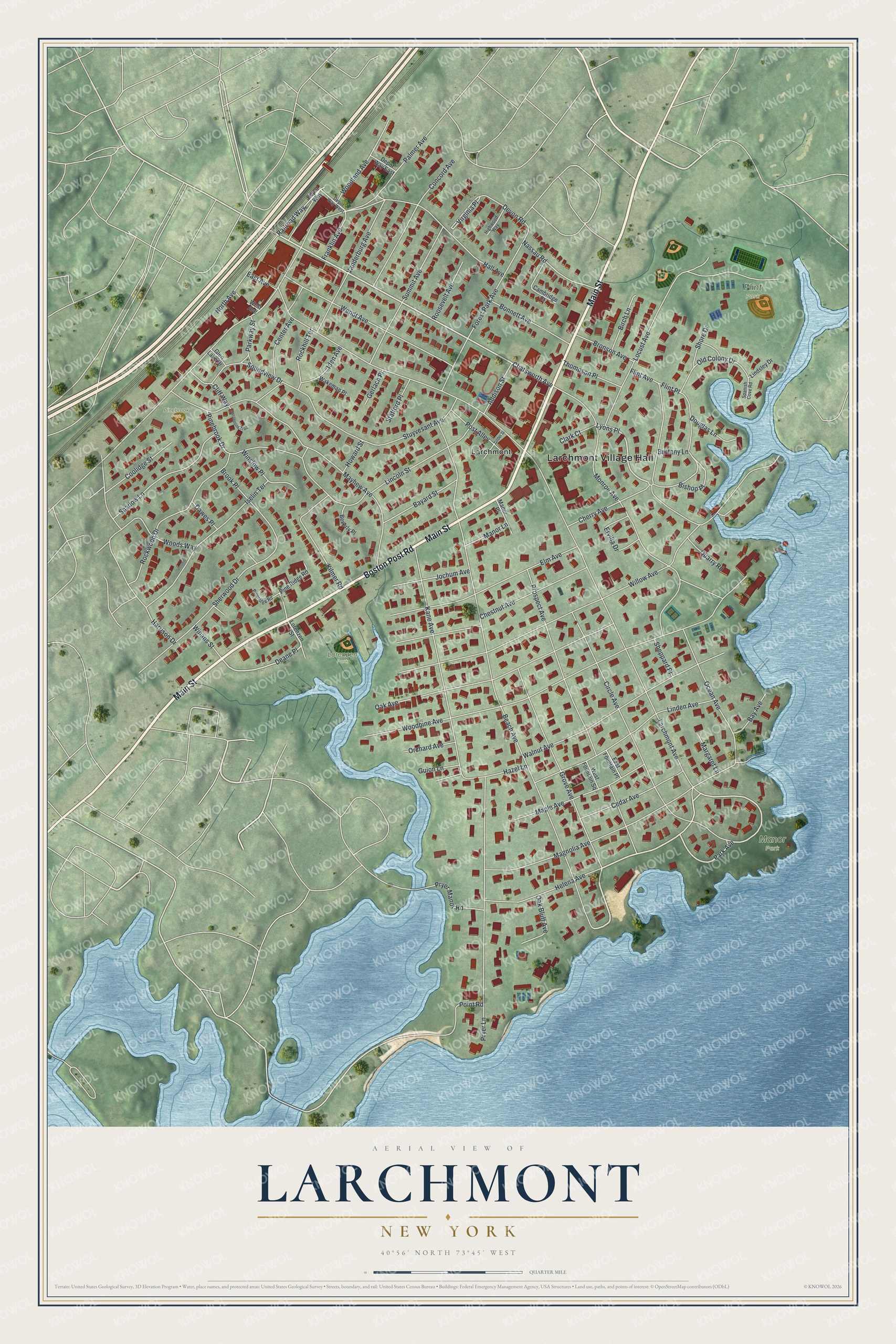
This beautifully detailed map of Larchmont, New York was created in 2026 using aerial imagery combined with modern topographical, census, street and landmark data. It’s a one-of-a-kind view of Larchmont that combines accurate data with a vintage aesthetic. The map shows every building in its true location, many of the roads carry their names, and the shaded topographic relief shows the shape of the land.
Explore an aerial view of Larchmont, New York
On the map you’ll find Larchmont Village Hall, Flint Park, Manor Park, Lorenzen Park, and Pinebrook Park, along with Main Street, Boston Post Road, Park Avenue, Chatsworth Avenue, and more. If you look closely you can even find your house accurately drawn in its correct location. Zoom in on the preview to look for yours.
Did You Know?
Peter Jay Munro built the Manor House, the oldest home in the village, in 1797. His house faced the Boston Post Road, which threw up dust in summer. His gardener planted a fast-growing Scottish larch along the front of the property. Those larch trees eventually gave the village its name.
Take a closer look at the Larchmont map
Names on this map
These names are printed on this map.
Places: Larchmont Village Hall, Flint Park, Manor Park, Lorenzen Park, Pinebrook Park and Larchmont.
Streets and roads: Main Street, Boston Post Road, Park Avenue, Chatsworth Avenue, Deane Place, Lyons Place, Larchmont Avenue, Beach Avenue, Palmer Avenue, Willow Avenue, Woodbine Avenue, Monroe Avenue.
More street names, A to Z
Addison Street, Bayard Street, Bay Avenue, Beverly Place, Birch Lane, Bishop Place, Bonnett Avenue, Brittany Lane, Bronson Avenue, Brook Place, Cambridge Court, Cedar Avenue, Center Avenue, Cherry Avenue, Chestnut Avenue, Circle Avenue, Clark Court, Cliff Way, Concord Avenue, Coolidge Street, Dawes Place, Depot Way, Depot Way East, Depot Way West, Devon Road, Douglas Lane, East Avenue, East Fountain Place, Elm Avenue, Ervilla Drive, Flint Avenue, Flint Place, Forest Park Avenue, Franklin Avenue, Gerlach Place, Gilder Street, Glen Lake Drive, Grove Avenue, Guion Lane, Hall Avenue, Harrison Drive, Hazel Lane, Helena Avenue, Highwood Way, Howard Street, Iden Avenue, Iselin Terrace, Jochum Avenue, Kane Avenue, Kilmer Road, Lincoln Street, Linden Avenue, Lindsley Drive, Locust Avenue, Lorenzen Street, Magnolia Avenue, Manor Lane, Manor Place, Maple Avenue, Margaret Lane, Mayhew Avenue, Nassau Road, North Avenue, Oak Avenue, Oak Bluff Avenue, Ocean Avenue, Old Colony Drive, Orchard Avenue, Parkway Street, Pinebrook Drive, Pine Ridge Road, Pineridge Road, Point Road, Post Alley, Prospect Avenue, Pryer Lane, Pryer Manor Road, Quarry Road, Railroad Way, Rockhill Terrace, Rockwood Drive, Roosevelt Avenue, Serpentine Trail, Shadow Lane, Sheppard Place, Sherwood Drive, Shore Drive, Soundview Drive, Spanish Cove Road, Stafford Place, Stuyvesant Avenue, Summit Avenue, Thompson Place, Vanderburg Avenue, Virginia Place, Wakeman Place, Walnut Avenue, Wendt Avenue, West Avenue, West Fountain Square, Winans Street, Winslow Place, Woodland Avenue, Woods Way.
See it on a wall
The Larchmont map as a framed print. Swipe for more.


This beautifully detailed map of Larchmont makes an attractive addition to your office, library, or den, and it can even be used to teach children the geography and history of the area. It also makes a great gift for someone who left Larchmont and still calls it home. When you’re done exploring, click here to get your copy of the Larchmont map.