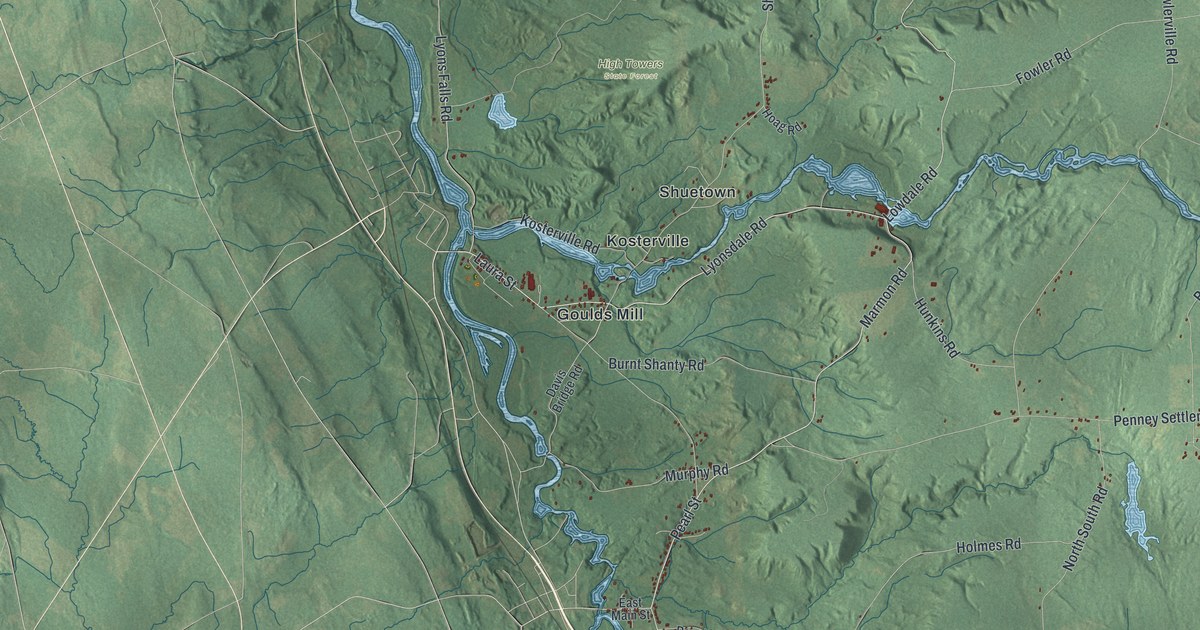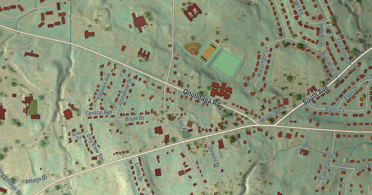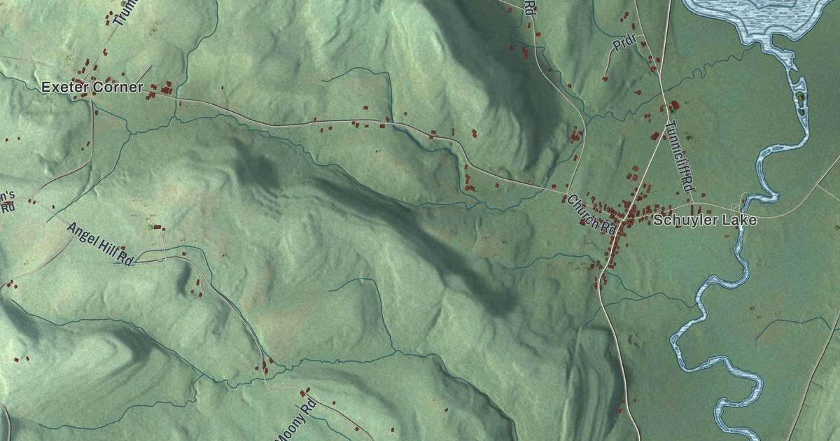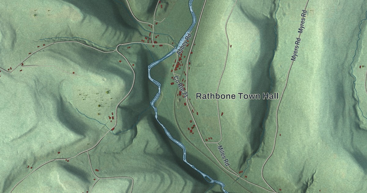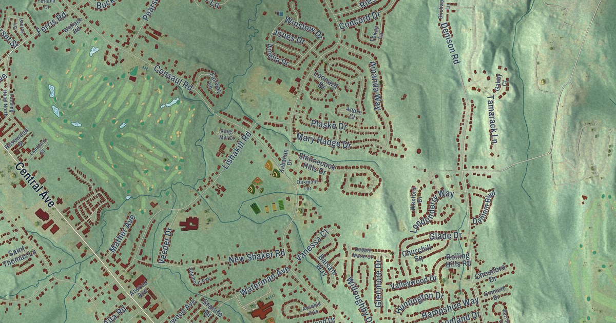
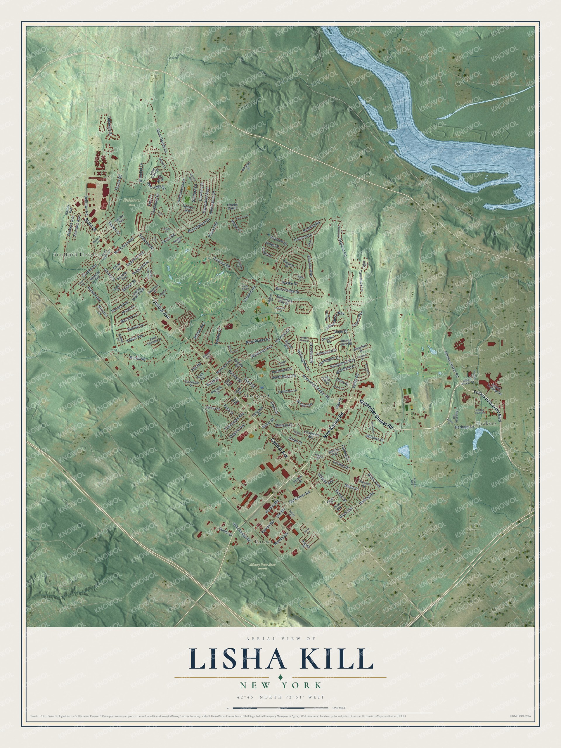
This beautifully detailed map of Lisha Kill, New York was created in 2026 using aerial imagery combined with modern topographical, census, street and landmark data. It’s a one-of-a-kind view of Lisha Kill that combines accurate data with a vintage aesthetic. The map shows every building in its true location, many of the roads carry their names, and the shaded topographic relief shows the shape of the land.
Explore an aerial view of Lisha Kill, New York
On the map you’ll find Shakers, Karner, Albany Pine Bush Preserve, Fieldstone Park, Maywood, and Stanford Heights, along with New Karner Road, Watervliet Shaker Road, Central Avenue, State Street, Valley Road, Saint Davids Lane, and more. If you look closely you can even find your house accurately drawn in its correct location. Zoom in on the preview to look for yours.
Take a closer look at the Lisha Kill map
Names on this map
These names are printed on this map.
Places: Shakers, Karner, Albany Pine Bush Preserve, Fieldstone Park, Maywood and Stanford Heights.
Streets and roads: New Karner Road, Watervliet Shaker Road, Central Avenue, State Street, Valley Road, Saint Davids Lane, Ferris Road, Consaul Road, Albany Street, Lishakill Road, Pearse Road, Buckingham Drive.
More street names, A to Z
Access Road, Airline Drive, Airport Access Road, Airport Terminal Road, Alamo Lane, Albany Shaker Road, Altamont Avenue, Alta Road, Amanda Way, Amelia Drive, Andre Court, Apollo Drive, Ascot Lane, Atwood Avenue, Ausable Frks, Balltown Road, Balsam Way, Barker Street, Barrington Court, Becker Street, Berwyn Street, Birch Avenue, Birchwood Lane, Bonner Avenue, Booth Street, Brendan Lane, Brent Street, Bridle Path, Butternut Drive, Campbell Drive, Canton Street, Carnevale Drive, Charter Oak Drive, Chesebro Drive, Chris Drive, Churchill Square, Clute Crest Drive, Cole Avenue, Concord Drive, Cordell Road, Court Street, Cresthaven Avenue, Dahlem Boulevard, Debbie Marie Court, Deer Path Drive, Denison Road, Downing Street, Emmett Drive, Fairfax Avenue, Fairway Lane, Fermac Street, Fern Avenue, Ferrara Avenue, Fieldstone Drive, Fillmore Avenue, Fisler Avenue, Francis Delasandro Boulevard, Fullerton Avenue, Furlong Drive, Gabby Court, Gasner Avenue, Glade Drive, Glen Eddy Road, Glenmore Drive, Granito Drive, Hampshire Seat, Hampshire Way, Harvest Street, Heritage Lane, Hill House Road, Hillside Avenue, Hockey Lane, Huntingdon Drive, Hunting Road, Huntington Drive, Jason Lane, Jester Court, Jones Drive, Kabalian Drive, Kallen Avenue, Karner Road, Kendale Avenue, Kenyon Drive, Kings Mill Court, Lansing Road North, Lansing Road South, Laura Lane, Laurel Lane, Leonard Drive, Lois Lane, Lombard Street, Londonderry Way, Loralee Drive, Maple Drive, Maple Lane, Mary Hadge Drive, Mather Avenue, Maywood Avenue, Meeting House Road, Melissa Court, Memory Lane, Midway Drive, Mohrhoff Avenue, Morris Road, Morrocco Lane, New Shaker Road, Norman Drive, North Alandale, Nutwood Avenue, Oakmont Street, Oakmont Terrace, Old Karner Road, Oliver Street, Ormond Drive, Palm Street, Pine Avenue, Plaske Drive, Pommel Road, Poplar Street, Prescott Street, Rapple Drive, Ravenwood Drive, Reber Street, Riesling Road, Rifle Range Road, Rolling Hills Road, Rosewood Street, Runnel Drive, Ruth Road, Saint Thomas Lane, Sand Creek Road, Sarah Court, Sebring Avenue, Selina Drive, Shepard Avenue, Shinnecock Hills Drive, Somerset Street, South Fagan Avenue, South Royal Drive, Stafford Lane, Stanford Avenue, Steve Lane, Sunflower Lane, Sussex Way, Tamarack Lane, Taurus Road, Tennessee Avenue, Thelma Street, Tokay Lane, Toriana Court, Valleywood Drive, Vanessa Court, Veeder Drive, Vfw Road, Virginia Avenue, Wallace Road, Wall Street, Warwick Way, Waterman Avenue, Westchester Drive, Westmoreland Drive, Wexford Drive, Whitney Drive, Wicken Square, Wilber Avenue, Willoughby Drive, Wilshire Drive, Winslow Drive, Woodland Drive.
See it on a wall
The Lisha Kill map as a framed print. Swipe for more.


This beautifully detailed map of Lisha Kill makes an attractive addition to your office, library, or den, and it can even be used to teach children the geography and history of the area. It also makes a great gift for anyone with Lisha Kill roots. When you’re done exploring, click here to get your copy of the Lisha Kill map.