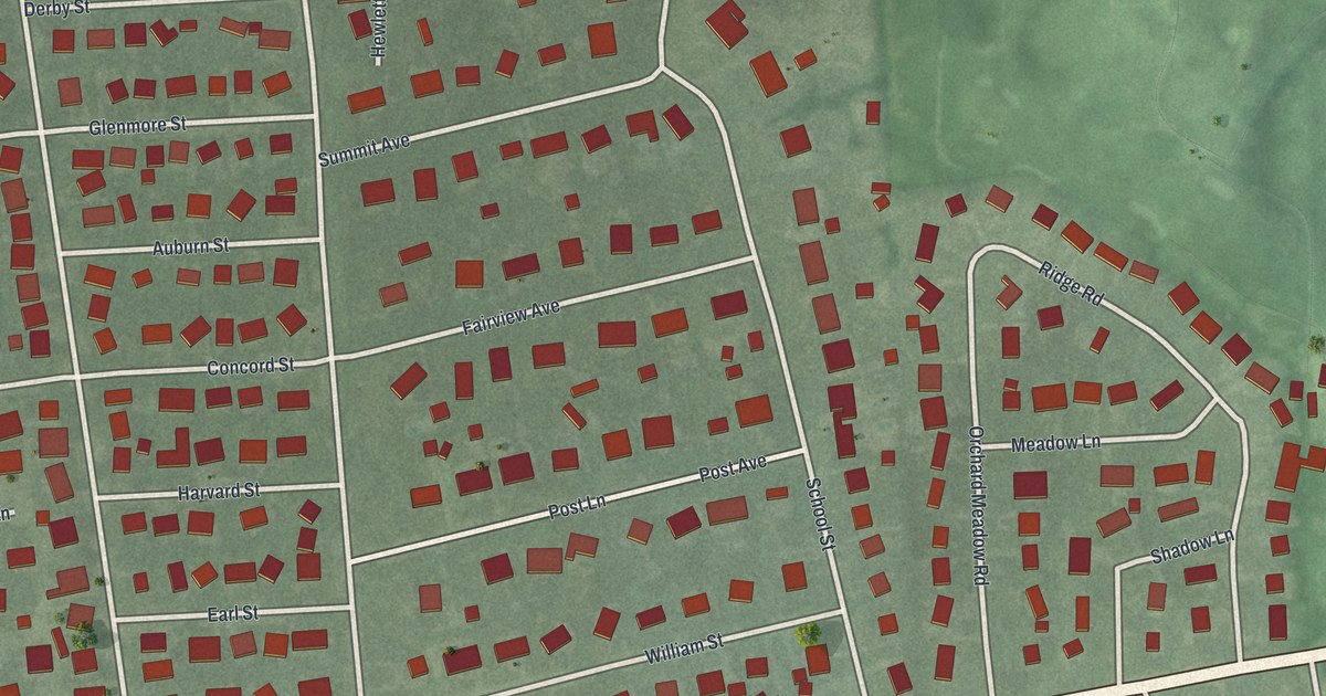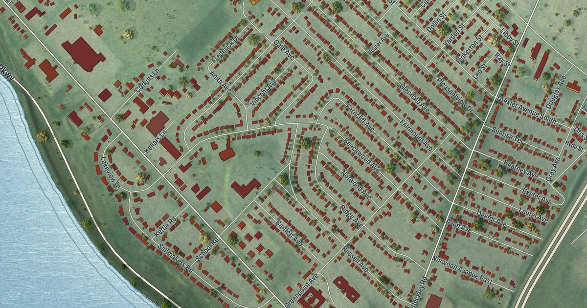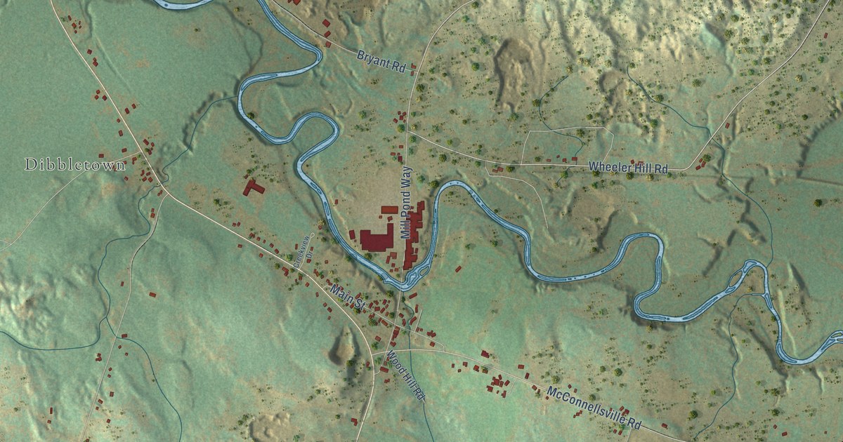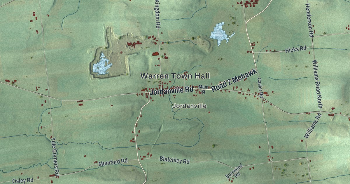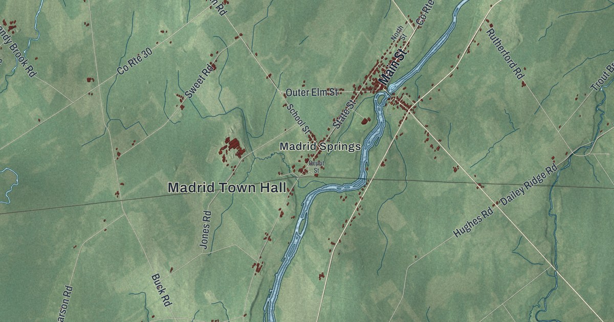
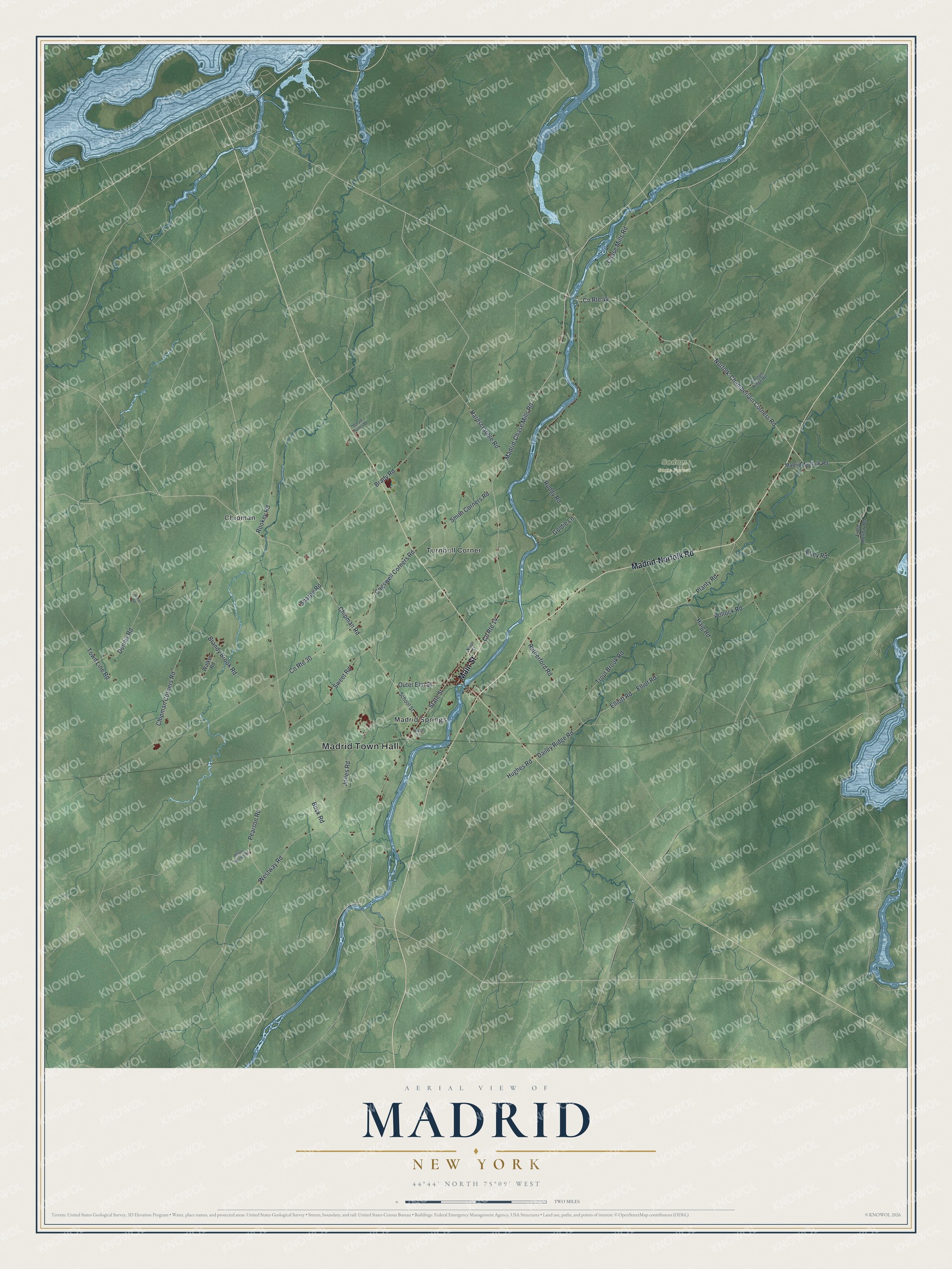
This beautifully detailed map of Madrid, New York was created in 2026 using aerial imagery combined with modern topographical, census, street and landmark data. It’s a one-of-a-kind view of Madrid that combines accurate data with a vintage aesthetic. The map shows every building in its true location, many of the roads carry their names, and the shaded topographic relief shows the shape of the land.
Explore an aerial view of Madrid, New York
On the map you’ll find Madrid Town Hall, Chipman, Madrid Springs, Turnbull Corner, and Sodom State Forest, along with Main Street, Madrid-Norfolk Road, Norfolk-Chamberlain Corners Road, Madrid-Chase Mills Road, and more. If you look closely you can even find your house accurately drawn in its correct location. Zoom in on the preview to look for yours.
Did You Know?
Madrid takes its name from the capital of Spain. Settled about 1801, it became one of the four original towns when St. Lawrence County was created in 1802. Being close to Canada, it raised a local militia during the War of 1812. Canadian forces raided Madrid in February 1814.
Take a closer look at the Madrid map
Names on this map
These names are printed on this map.
Places: Madrid Town Hall, Sodom State Forest, Chipman, Madrid Springs and Turnbull Corner.
Streets and roads: Main Street, Madrid-Norfolk Road, Norfolk-Chamberlain Corners Road, Madrid-Chase Mills Road, Hardscrabble Road, Planty Road, Chase Mills Road, Chipman Corners Road, Rutherford Road, Dailey Ridge Road, Chipman Road, Hughes Road.
More street names, A to Z
Brady Road, Brandy Brook Road, Buck Road, Cogswell Corners Road, County Route 14, County Route 30, County Route 44, Dennis Road, Depot Street, Ekey Road, Elliot Road, Elliott Road, Gerald Hunter Road, Goldie Lane, Haig Road, Jenner Road, Jones Road, Lime Hollow Road, Maple Springs Road, North Street, Outer Elm Street, Pearson Road, Pollock Road, Rookey Road, Ruddy Road, School Street, Sharpe Road, Smith Corners Road, State Street, Sweet Road, Tiernan Ridge Road, Town Line Road, Trout Brook Road, Walker Road, Westway Road.
See it on a wall
The Madrid map as a framed print. Swipe for more.


This beautifully detailed map of Madrid makes an attractive addition to your office, library, or den, and it can even be used to teach children the geography and history of the area. It also makes a great gift for anyone with Madrid roots. When you’re done exploring, click here to get your copy of the Madrid map.