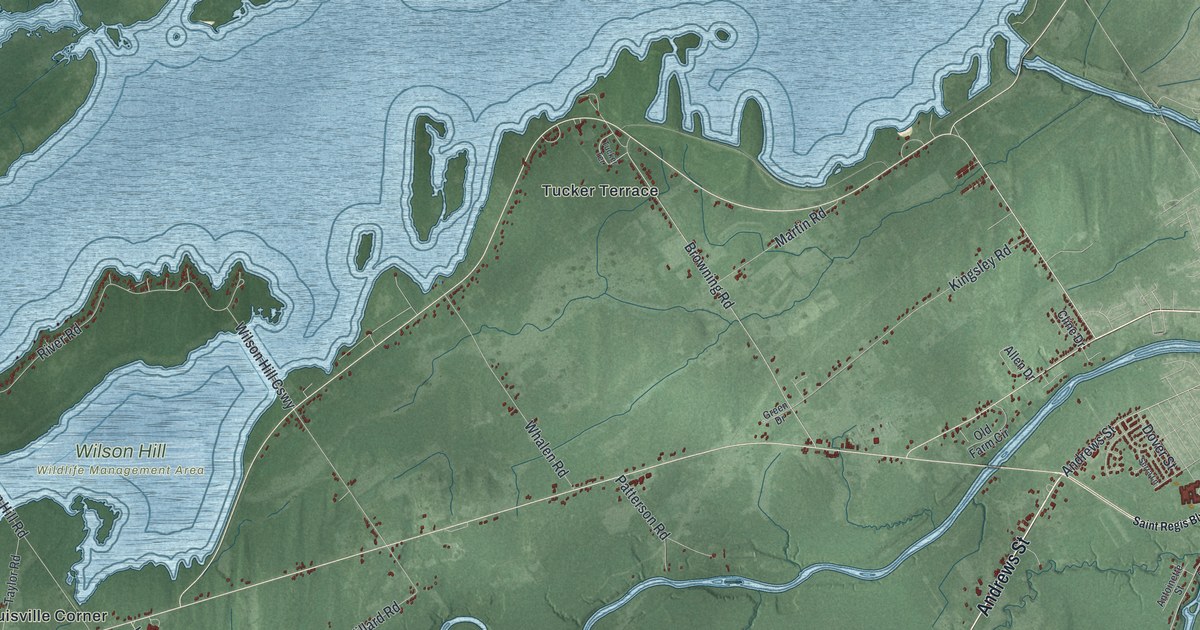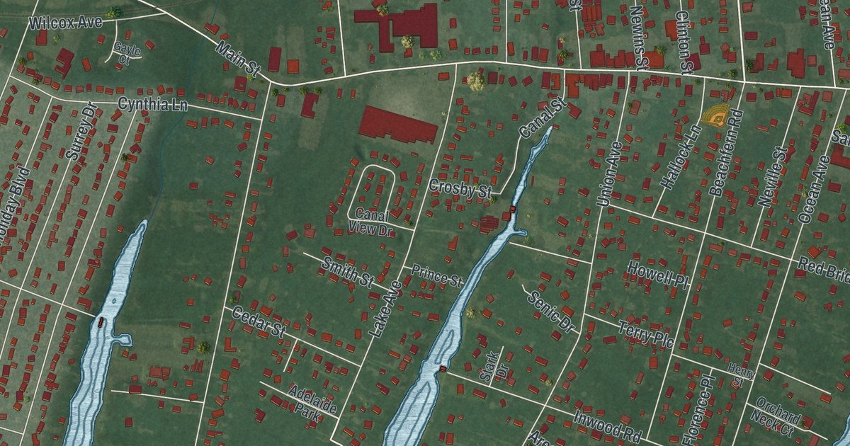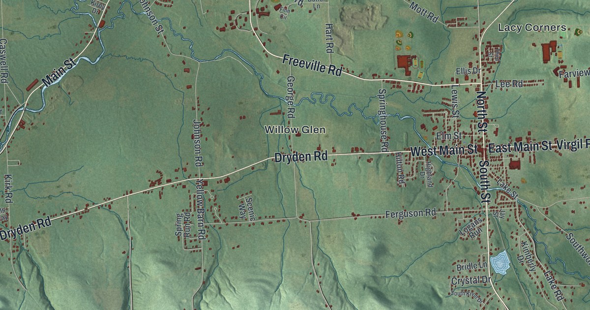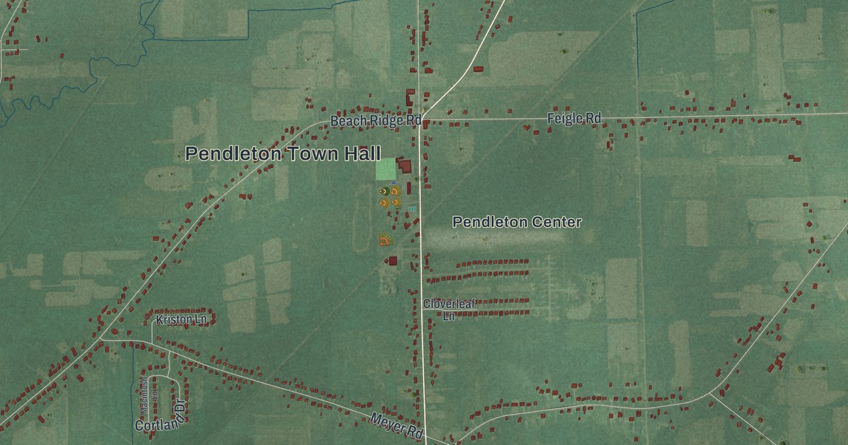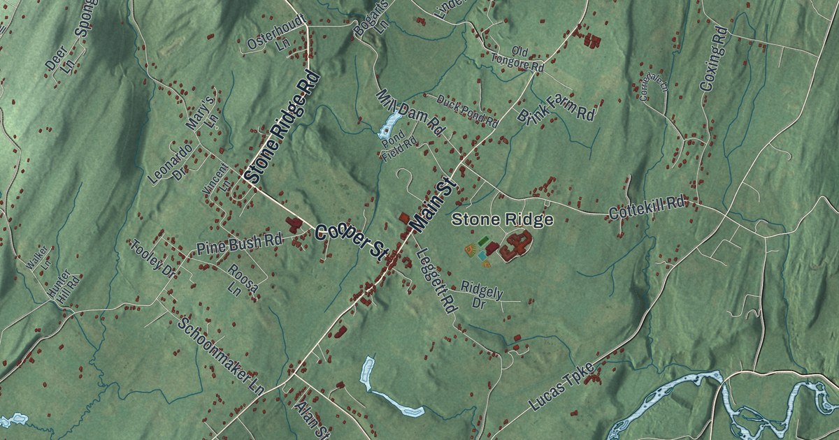
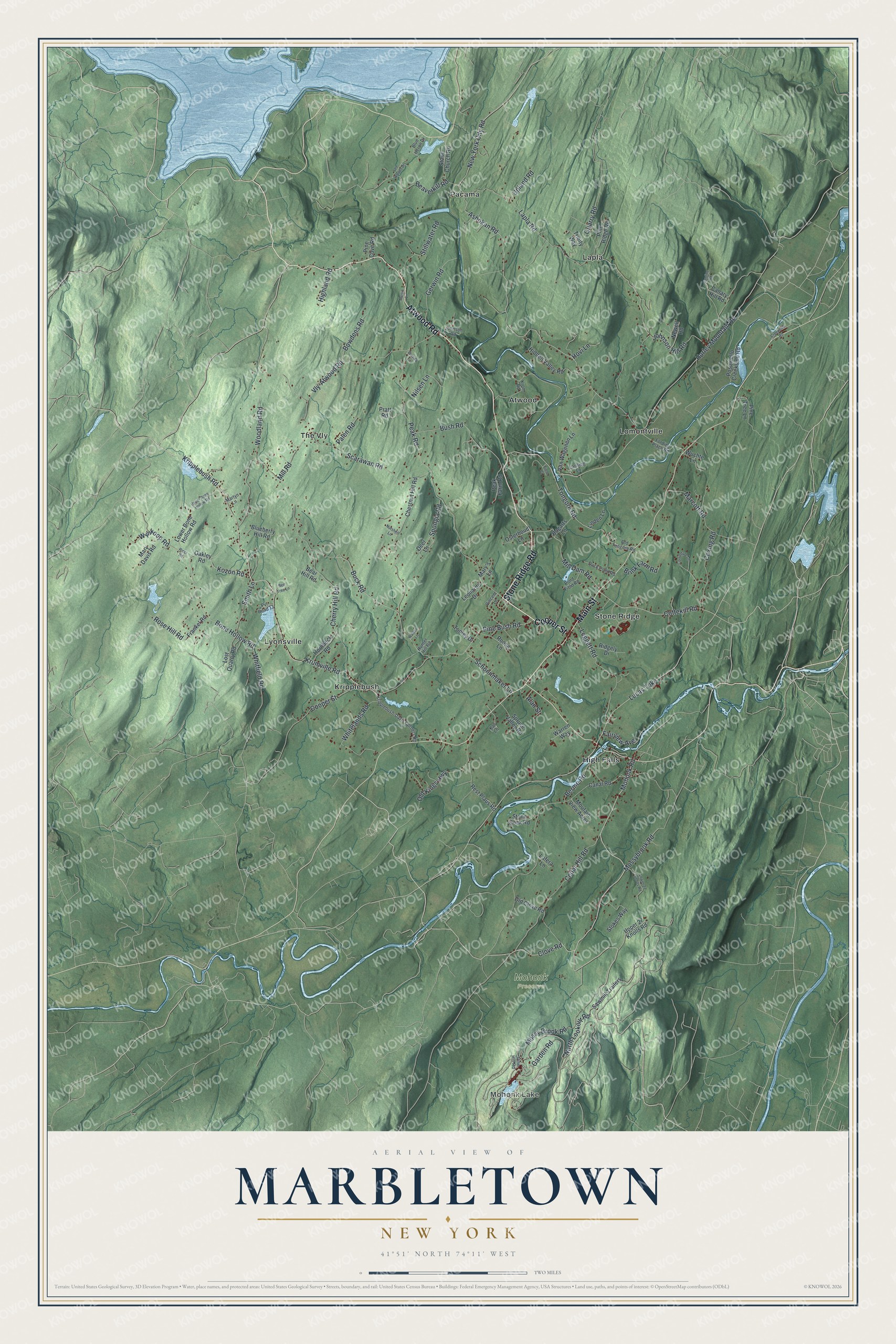
This beautifully detailed map of Marbletown, New York was created in 2026 using aerial imagery combined with modern topographical, census, street and landmark data. It’s a one-of-a-kind view of Marbletown that combines accurate data with a vintage aesthetic. The map shows every building in its true location, many of the roads carry their names, and the shaded topographic relief shows the shape of the land.
Explore an aerial view of Marbletown, New York
On the map you’ll find Mohonk Lake, Atwood, High Falls, Kripplebush, Lapla, and Mohonk Preserve, along with Cooper Street, Stone Ridge Road, Atwood Road, Main Street, Mohonk Road, and more. If you look closely you can even find your house accurately drawn in its correct location. Zoom in on the preview to look for yours.
Did You Know?
Marbletown is named for an eight-mile ledge of limestone. Builders quarried much of the stone for the township’s old houses from that ledge. The British burned Kingston in 1777. Afterward the State legislature met for a month in Marbletown’s stone Andrew Oliver House. That’s from the 1940 WPA guide to New York.
Take a closer look at the Marbletown map
Names on this map
These names are printed on this map.
Places: Mohonk Lake, Mohonk Preserve, Atwood, High Falls, Kripplebush, Lapla, Lomontville, Lyonsville, Pacama, Stone Ridge and The Vly.
Streets and roads: Cooper Street, Stone Ridge Road, Atwood Road, Main Street, Mohonk Road, Ashokan Road, Garden Road, Clove Road, Lucas Turnpike, Pine Bush Road, Kripplebush Road, Krumville Road.
More street names, A to Z
Alan Street, Bear Hill Road, Beaverkill Road, Bee Tree Lane, Berme Road, Blueberry Hill Road, Blue Heron Drive, Bogarts Lane, Bone Hollow Road, Bowdens Road, Brenda Lane, Brink Farm Road, Buck Road, Bush Road, Canal Road, Canary Hill Road, Cantine Road, Cedar Hill Road, Cherry Hill Road, Chestnut Hill Road, Corriedale Lane, Cottekill Road, Coxing Road, Creekside Road, Deer Lane, Duck Pond Road, Fairview Avenue, Field Court, Fording Place Road, Frankel Road, Gerwin Road, Hidden Valley Road, Highland Road, Hornbeck Road, Hovi Lane, Hunter Hill Road, Hurley Mountain Road, Johnson Hill Road, Johnson Road, Kali Lane, Kozon Road, Kripplebush-Davis Corners Road, Krom Road, Lafera Lane, Lansing Lane, Lapla Road, Lee Woods Drive, Leggett Road, Leonardo Drive, Linden Lane, Lost Quarry Road, Lower 27 Knolls Road, Lower Bone Hollow Road, Marcott Road, Martin Lane, Martyn Lane, Mary's Lane, Mary Davis Road, Mill Dam Road, Mill Road, Mossy Brook Road, Mossybrook Road, Moutain View Acres, Newell Road, New York City Road, Nilsen Lane, North Lookout Road, Nutshell Lane, Oakley Road, Old Clove Road, Old Kings Highway, Old Tongore Road, Osterhoudt Lane, Palen Road, Peak Farm Road, Peak Road, Pine Cove Road, Pine Hill Road, Pine Ridge Road, Pine Tree Lane, Pond Field Road, Posquiello Creekside Road, Pratt Road, Pvt Road 13, Quarry Road, Rest Plaus Road, Ricci Road, Ridgely Drive, Roosa Lane, Rose Hill Road, Sawmill Trailers, Scarawan Road, Schoonmaker Lane, Smith Lane, Spongia Road, Spruce Valley Road, Stillwater Road, Stokes Way, Stone Church Road, Stone Dock Road, Tongore Road, Tooley Drive, Trinity Way, Upland Road, Upper 27 Knolls Road, Upper Bone Hollow Road, Van Wagenen Lane, Vincent Lane, Vly-Atwood Road, Walker Lane, Warren Way, Whitelands Road, Whitfield Road, Woodland Road, Wuchte Lane, Wynkoop Road.
See it on a wall
The Marbletown map as a framed print. Swipe for more.


This beautifully detailed map of Marbletown makes an attractive addition to your office, library, or den, and it can even be used to teach children the geography and history of the area. It also makes a great gift for anyone with Marbletown roots. When you’re done exploring, click here to get your copy of the Marbletown map.