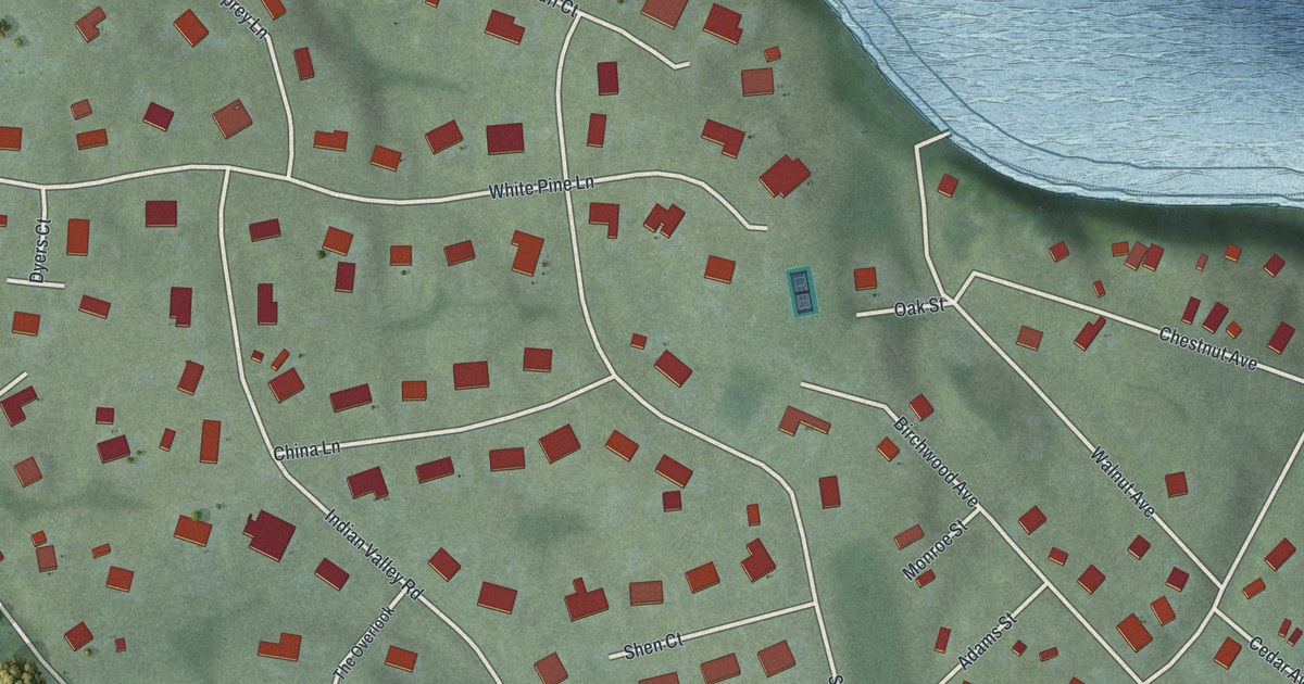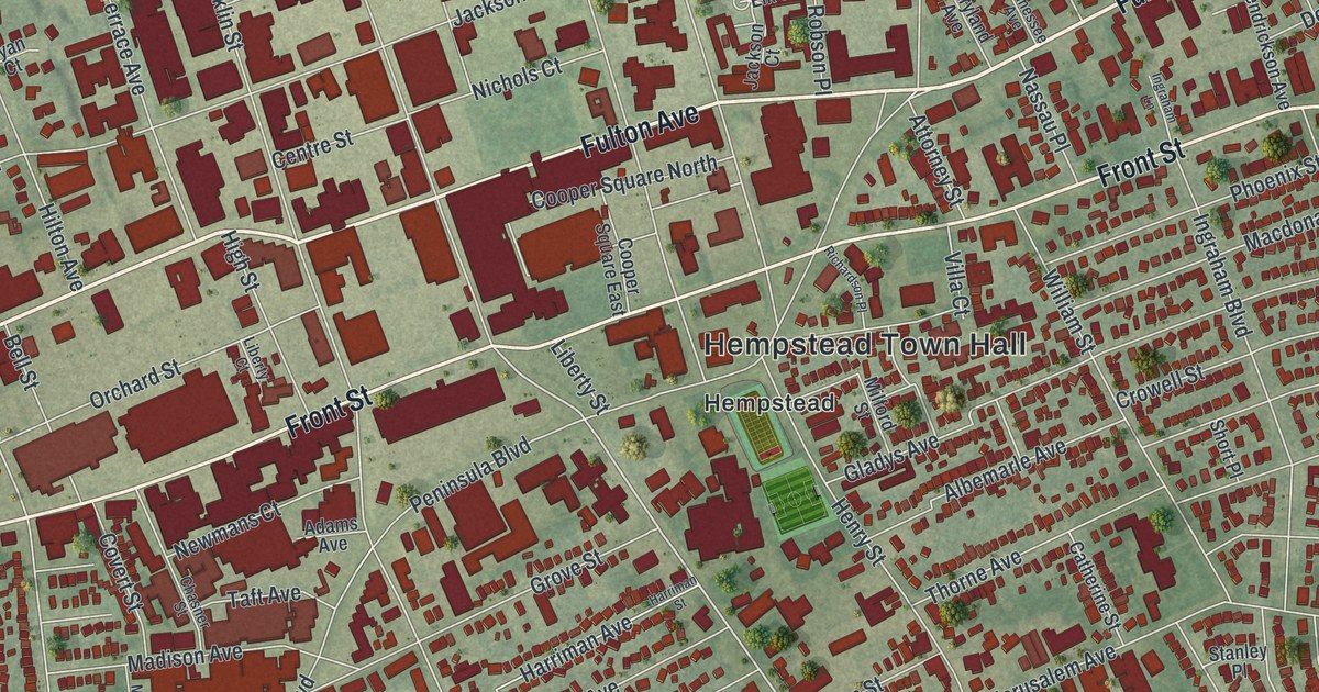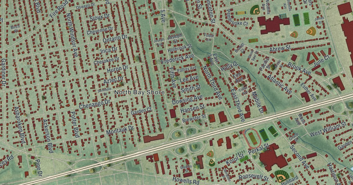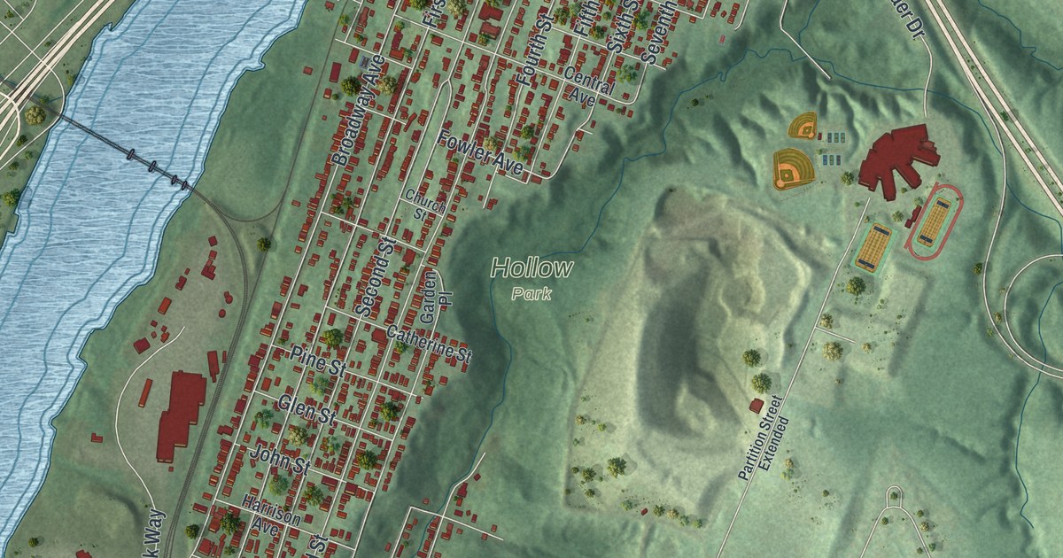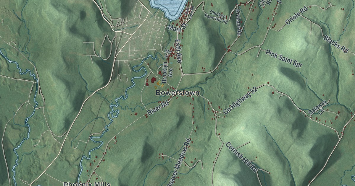
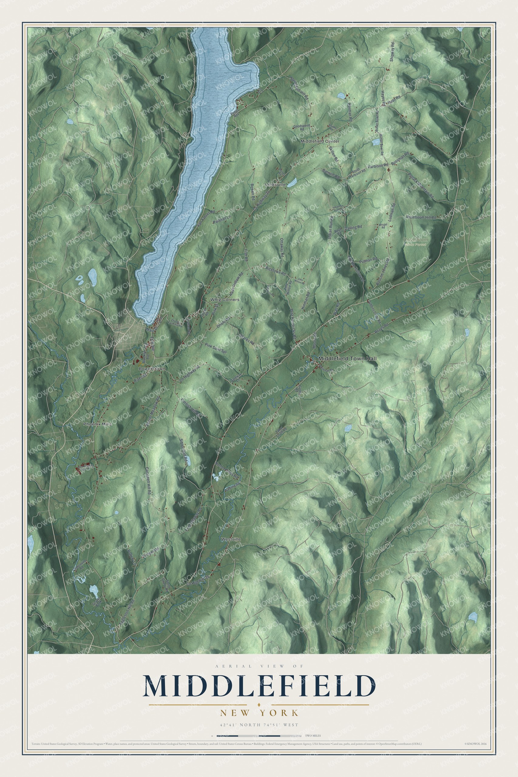
This beautifully detailed map of Middlefield, New York was created in 2026 using aerial imagery combined with modern topographical, census, street and landmark data. It’s a one-of-a-kind view of Middlefield that combines accurate data with a vintage aesthetic. The map shows every building in its true location, many of the roads carry their names, and the shaded topographic relief shows the shape of the land.
Explore an aerial view of Middlefield, New York
On the map you’ll find Middlefield Town Hall, Bowerstown, Lentsville, Middlefield Center, Phoenix Mills, Westville, and Roseboom State Forest, along with Pete Hendricks Road, Ricetown Road, Harbison Road, Estli Avenue, and more. If you look closely you can even find your house accurately drawn in its correct location. Zoom in on the preview to look for yours.
Did You Know?
In 1778, two-year-old Daniel McCollum was captured by Indians while walking home from his family’s sugar bush. He lived about nine years among Native people. An aunt finally recognized him near Lake George, and he was returned to his father. He spoke three Native languages and later published the story of his captivity. That’s from the 1878 History of Otsego County, New York.
Take a closer look at the Middlefield map
Names on this map
These names are printed on this map.
Places: Middlefield Town Hall, Roseboom State Forest, Bowerstown, Lentsville, Middlefield Center, Phoenix Mills, Westville and Whig Corners.
Streets and roads: Pete Hendricks Road, Ricetown Road, Harbison Road, Estli Avenue, Ludman Road, County Highway 33, Skillen Road, Indian Run Road, River Road, County Highway 52, Hubble Hollow Road, Rezen Road.
More street names, A to Z
Barnes Road, Barnum Road, Beaver Meadow Road, Blacks Road, Bowen Road, Boyd Road, Brooklyn Avenue, Bussman Road, Butler Bowl Road, Butter Bowl Road, Campbell Hill Road, Chase Road, Chicken Farm Hill Road, Clintonville Road, Cooper Road, Cornish Hill Road, County Highway 35, Darling Road, Dubbins Cross Road, East Lake Road, Eggleston Hill Road, Fish Road, Fred Ottaway Road, Fresh Meadows Brook Road, Gately Road, Gateway Lane, Goodspeed Road, Gravel Bank, Hade Hollow Road, Hayes Road, Herman Road, Hinman Road, Hyde Bay, Indian Run Road Spr, Kraham Road, Main Street, Mill Street, Moore Road, Norton Cross Road, Oriole Road, Ottaway Road, Parshall Lane, Peggs Bay, Pink Saint Spr, Pink Street, Pollack Mountain Road, Pottery Lane, Putman Road, Roscoe Jones Road, Roseboom Hill Road, Ryan Road, Salerno Road, Shipway Road, Sibley Gulf Road, Snyder Road, South Harbison Road, Springfield Hill Road, Stone Quarry Road, Tabor South Road, Van Yahres Road, Watt Road, Weigel Road, Whiteman Road, Zeke Wiltsie Road, Zeke Wiltzie Road, Zubowich Road.
See it on a wall
The Middlefield map as a framed print. Swipe for more.


This beautifully detailed map of Middlefield makes an attractive addition to your office, library, or den, and it can even be used to teach children the geography and history of the area. It also makes a great gift for anyone with Middlefield roots. When you’re done exploring, click here to get your copy of the Middlefield map.