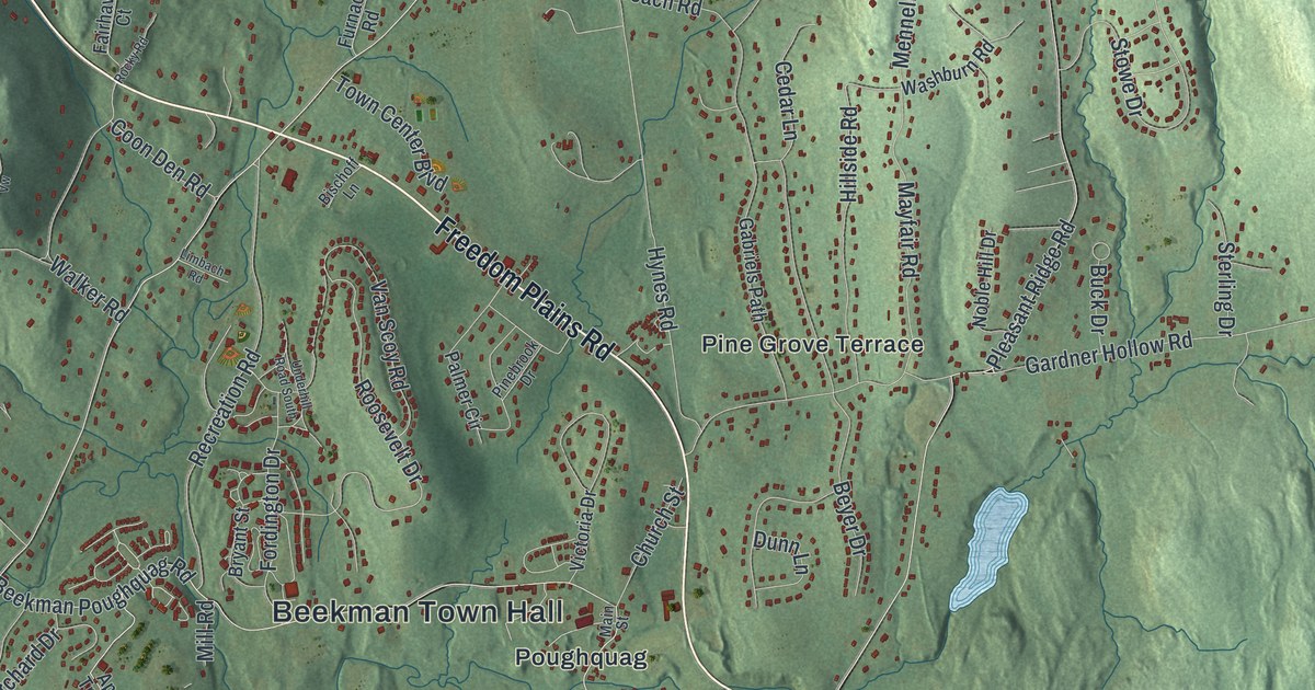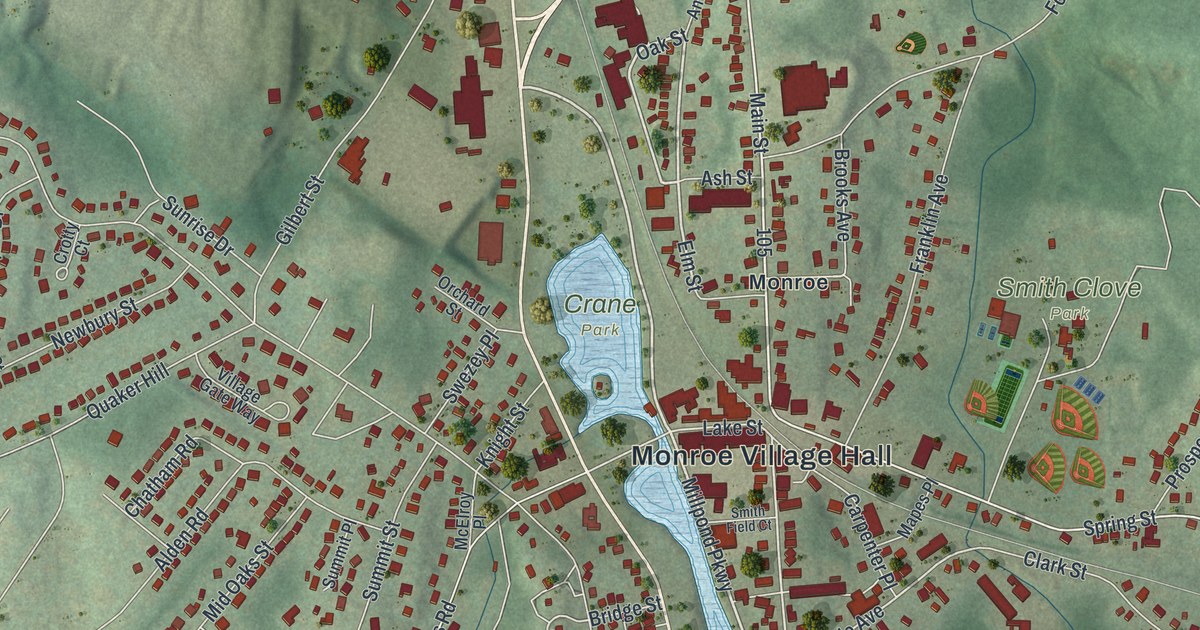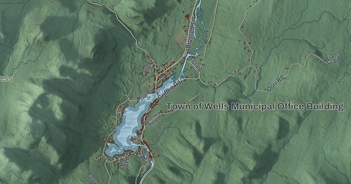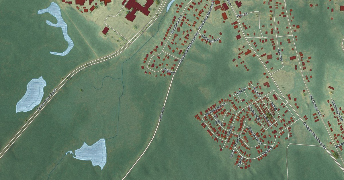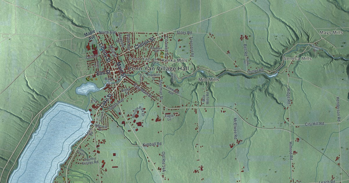
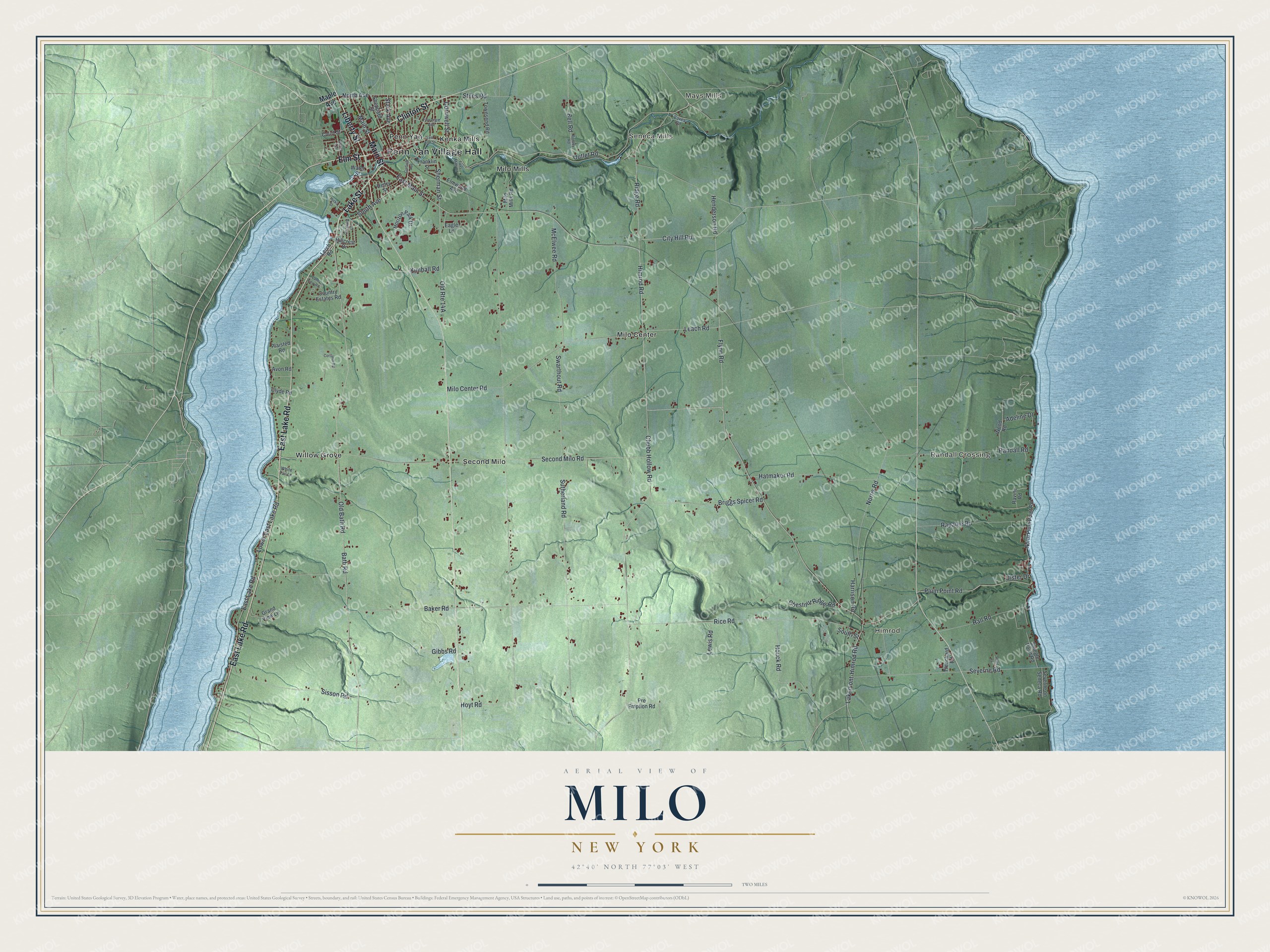
This beautifully detailed map of Milo, New York was created in 2026 using aerial imagery combined with modern topographical, census, street and landmark data. It’s a one-of-a-kind view of Milo that combines accurate data with a vintage aesthetic. The map shows every building in its true location, many of the roads carry their names, and the shaded topographic relief shows the shape of the land.
Explore an aerial view of Milo, New York
On the map you’ll find Penn Yan Village Hall, Himrod, Randall Crossing, Mays Mills, Seneca Mills, and Kenka Mills, along with Lake Street, Main Street, Lake Road, Liberty Street, and more. If you look closely you can even find your house accurately drawn in its correct location. Zoom in on the preview to look for yours.
Did You Know?
Milo took its name from Milo of Croton, a famous athlete of ancient Greece. Members of the Universal Friends, a religious group, began settling the area around 1788. The town was formed from part of Benton in 1818.
Take a closer look at the Milo map
Names on this map
These names are printed on this map.
Places: Penn Yan Village Hall, Himrod, Randall Crossing, Mays Mills, Seneca Mills, Kenka Mills, Milo Center, Milo Mills, Penn Yan, Second Milo and Willow Grove.
Streets and roads: Lake Street, Main Street, East Lake Road, Liberty Street, Clinton Street, Elm Street, Cornwell Street, Outlet Road, Himrod Road, East Main Street, North Avenue, Lakemont-Himrod Road.
More street names, A to Z
Adeline Drive, Avon Road, Baker Road, Bath Road, Bell Road, Bentley Road, Briggs Spicer Road, Burns Terrace, Chestnut Ridge Road, Chubb Hollow Road, City Hill Road, Clyde Road, Cortlandt Road, Country Estates Road, Court Street, Eagle Lane, East Elm Street, Eaves Road, Elmwood Avenue, Florence Avenue, Flynn Road, Foxs Mills Road, Franklin Street, Garfield Avenue, Gibbs Road, Grand View Lane, Hall Road, Harrison Road, Hatmaker Road, Henderson Road, Henry Street, Hicks Street, Hillcrest Drive, Horizon Park Drive, Houck Road, Hoyt Road, Kimball Road, Lane View Road, Leach Road, Lerch Road, Lewis Road, Lower East Lake Road, Maple Avenue, McElwee Road, Milo Center Road, Milo Mills Road, Norris Road, North Plum Point Road, Old Bath Road, Orchard Lane, Plaisted Road, Plum Point Road, Pre Emption Road, Randall Road, Rapalee Road, Ravine Road, Rice Road, Ridge Road, Second Milo Road, Severne on Seneca Road, Severne Road, Sheppard Street, Sherman Street, Shingle Point Road, Sisson Road, South Avenue, South Street, Stark Avenue, Stiles Road, Strait Lane, Sutherland Road, Swarthout Road, Townsend Road, Trenchard Road, Ulster Drive, Water Street, White Tail Lane, Wood Road.
See it on a wall
The Milo map as a framed print. Swipe for more.


This beautifully detailed map of Milo makes an attractive addition to your office, library, or den, and it can even be used to teach children the geography and history of the area. It also makes a great gift for someone who left Milo and still calls it home. When you’re done exploring, click here to get your copy of the Milo map.