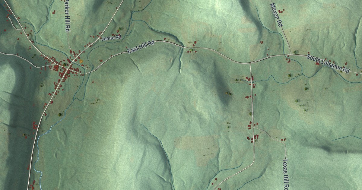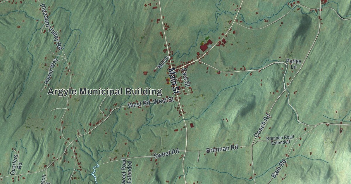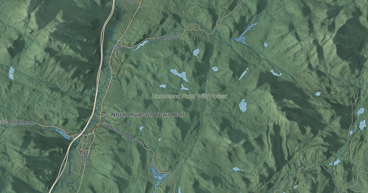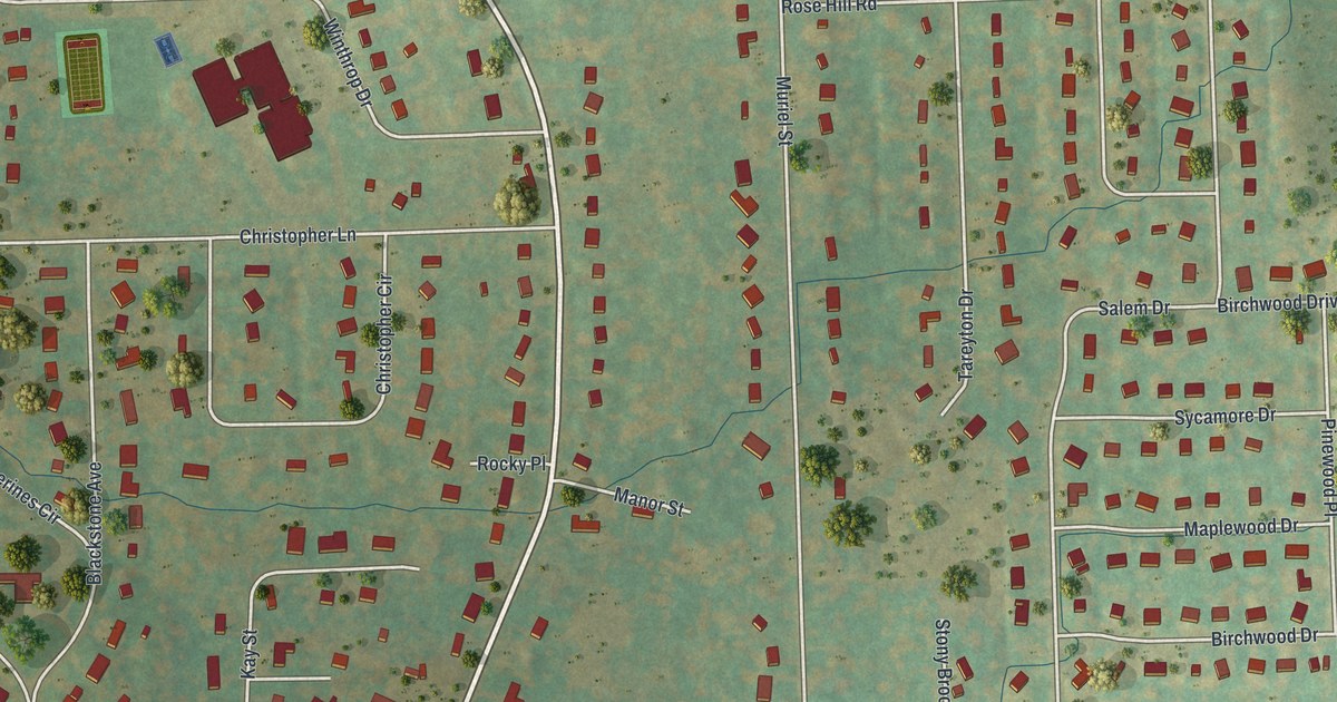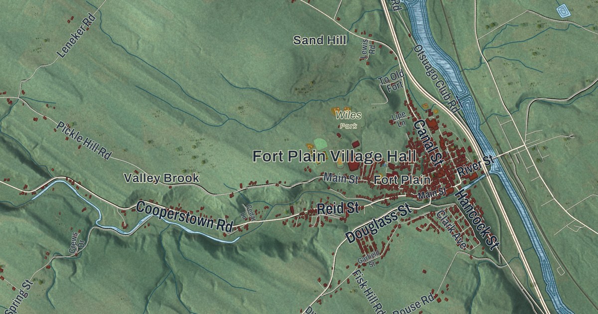
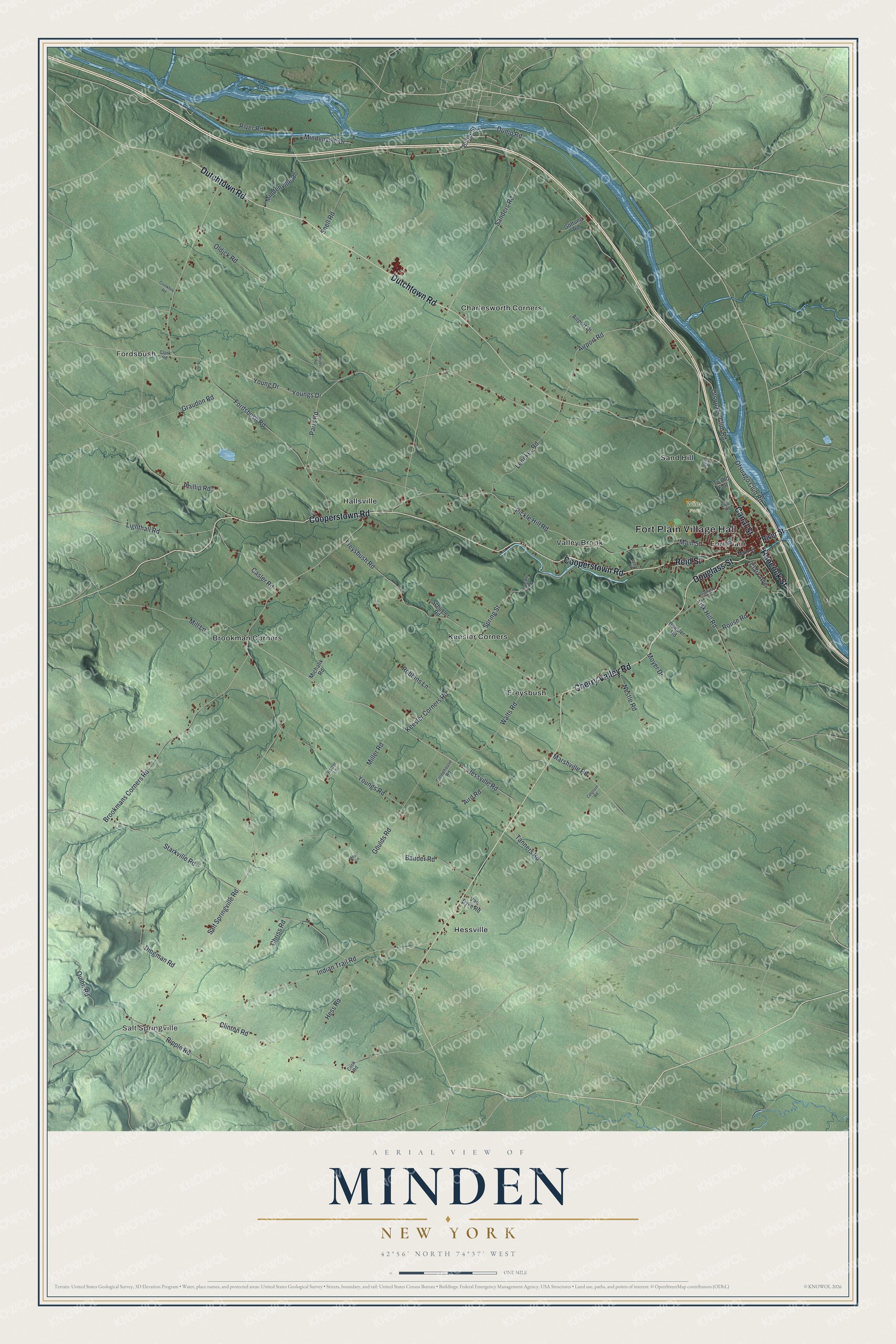
This beautifully detailed map of Minden, New York was created in 2026 using aerial imagery combined with modern topographical, census, street and landmark data. It’s a one-of-a-kind view of Minden that combines accurate data with a vintage aesthetic. The map shows every building in its true location, many of the roads carry their names, and the shaded topographic relief shows the shape of the land.
Explore an aerial view of Minden, New York
On the map you’ll find Fort Plain Village Hall, Salt Springville, Brookman Corners, Charlesworth Corners, Fordsbush, Fort Plain, and Wiles Park, along with Reid Street, Douglass Street, Cooperstown Road, Dutchtown Road, and more. If you look closely you can even find your house accurately drawn in its correct location. Zoom in on the preview to look for yours.
Did You Know?
Many early settlers here were Palatine Germans, Protestant refugees from religious wars. During the Revolution, colonists built a small fort at Fort Plain village in 1778. Tories and their Native allies burned the village in 1780, but the defenders held the fort. After the war, Minden was formed as a town in 1798.
Take a closer look at the Minden map
Names on this map
These names are printed on this map.
Places: Fort Plain Village Hall, Salt Springville, Wiles Park, Brookman Corners, Charlesworth Corners, Fordsbush, Fort Plain, Freysbush, Hallsville, Hessville, Keesler Corners, Sand Hill and Valley Brook.
Streets and roads: Reid Street, Douglass Street, Cooperstown Road, Dutchtown Road, Cherry Valley Road, Canal Street, Hancock Street, Ripple Road, Quinn Road, Mill Lane, Hessville Road, Main Street.
More street names, A to Z
Aird Road, Airport Drive, Airport Road, Bauder Road, Bridge Street, Brookmans Corners Road, Casler Road, Cedar Lane, Chriss Road, Clark Avenue, Clark Road, Clinton Road, Colgrove Road, Cook Road, Crews Drive, Cronkhite Road, Dingman Road, Duesler Road, Dump Road, Fisk Hill Road, Fordsbush Road, Freysbush Road, Garfield Street, Gottung Road, Goulds Road, Graudon Road, Hess Road, Indian Trail Road, Keesler Corners Road, Leneker Road, Lewis Road, Lighthall Road, Lipe Lane, Marshville Road, Michalik Road, Miller Road, Mindenville Drive, Mindenville Road, Moyer Drive, Moyer Lane, Nestle Road, Oldick Road, Otsquago Club Road, Otsuago Club Road, Paris Road, Phillip Road, Pickle Hill Road, Potter Lane, River Road, River Street, Robbins Lane, Rouse Road, Salt Springville Road, Sanders Road, Schuyler Road, Snell Road, Snyder Road, Spring Street, Starkville Road, Stonehouse Road, Tanners Road, To Old Fort, Van Dyke Road, Walts Road, Young Drive, Youngs Drive, Youngs Road.
See it on a wall
The Minden map as a framed print. Swipe for more.


This beautifully detailed map of Minden makes an attractive addition to your office, library, or den, and it can even be used to teach children the geography and history of the area. It also makes a great gift for someone who left Minden and still calls it home. When you’re done exploring, click here to get your copy of the Minden map.