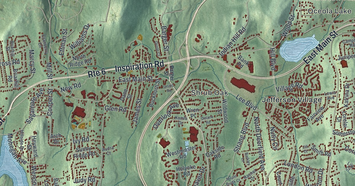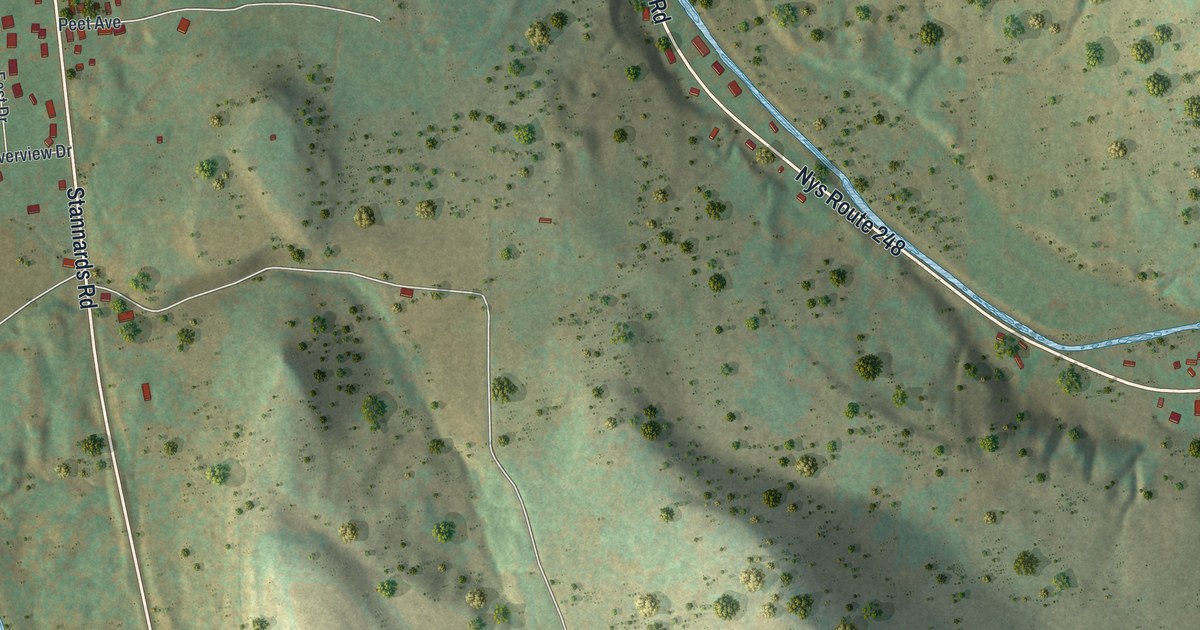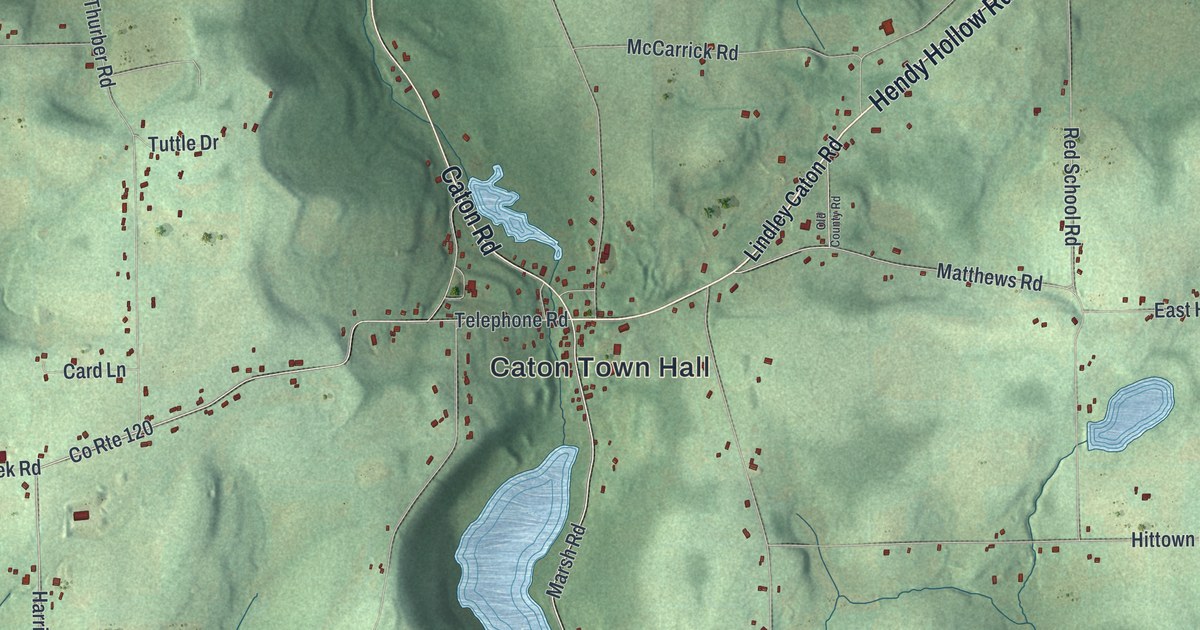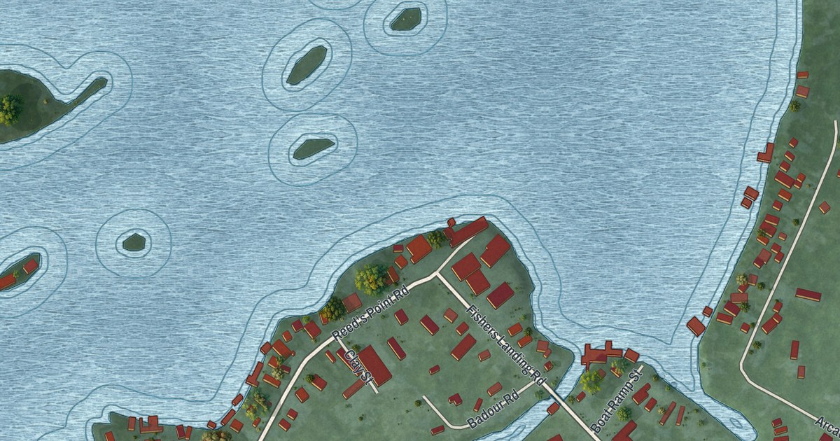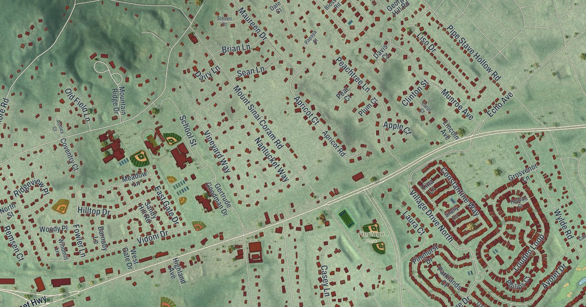
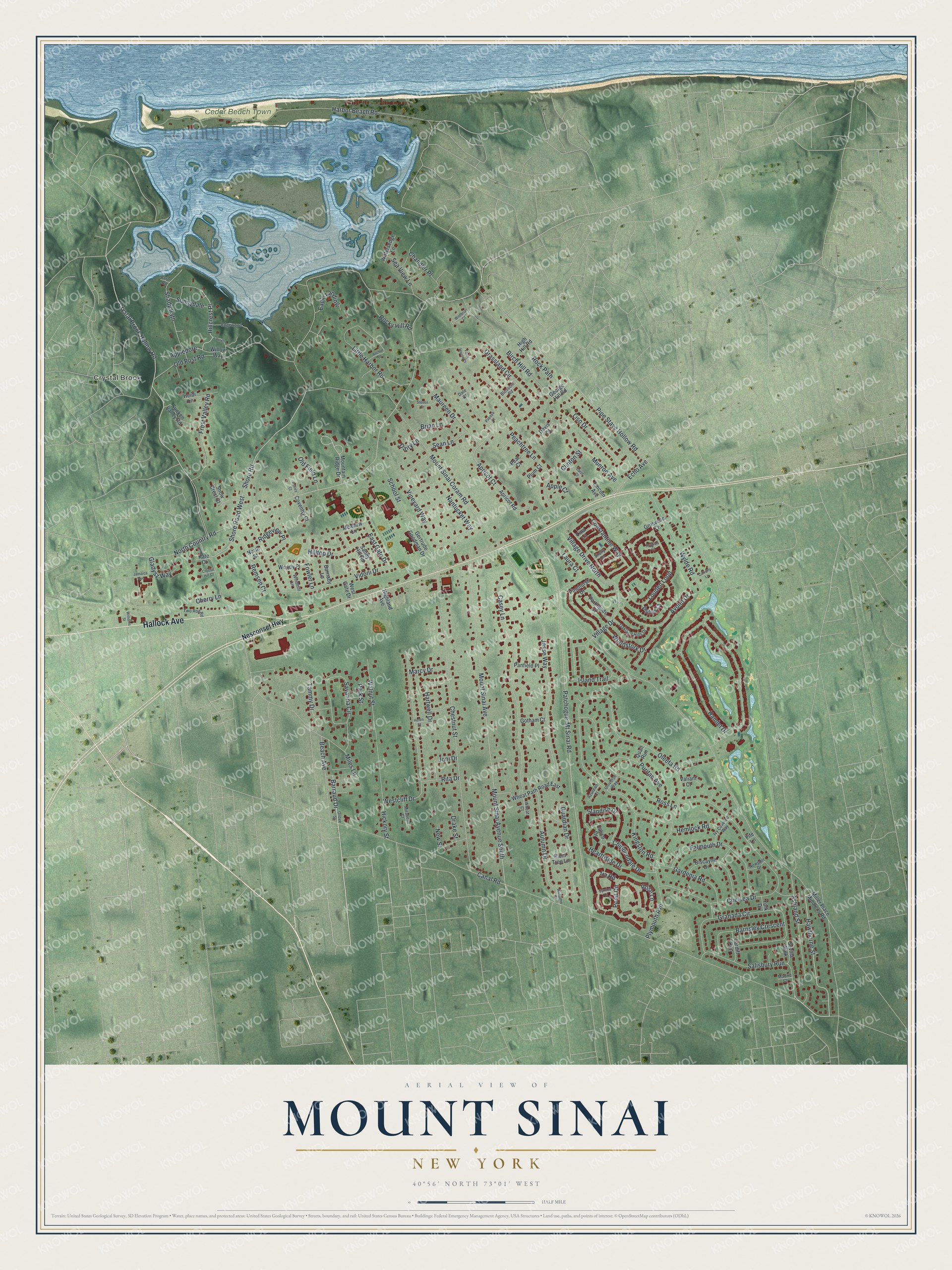
This beautifully detailed map of Mount Sinai, New York was created in 2026 using aerial imagery combined with modern topographical, census, street and landmark data. It's a modern aerial view of Mount Sinai in Suffolk County, New York, that combines modern data with a vintage aesthetic. The roads feature printed names, and if you look closely you can find your exact house accurately shown in its correct location.
Explore an aerial view of Mount Sinai, New York
On this map you'll find Crystal Brook, Cedar Beach Town Park, Heritage Park, Hallock Avenue, Crystal Brook Hollow Road, Salisbury Run, Hillcrest Place, Hawthorne Street, Barraud Drive, Echo Avenue, Shore Road West, Mount Sinai Coram Road, and more. Each red shape is a building, so zoom in on the preview and look for yours.
Here is a piece of Mount Sinai history. Mount Sinai was once called Old Man's. Tradition says the name came from a small house an old man kept for travelers held up by night, storm or fatigue, and when the guests were asked where they had stopped, they would answer, with the old man. Its Indian name was Nonowantuck. That's from the Suffolk County historian Richard Bayles.
Mount Sinai is a community in Suffolk County. The Census Bureau counted 11,623 people here in 2020.
Take a closer look at the Mount Sinai map
Names on this map
These names are printed on this map.
Places: Crystal Brook, Cedar Beach Town Park and Heritage Park.
Streets and roads: Hallock Avenue, Crystal Brook Hollow Road, Village Drive North, Salisbury Run, Hillcrest Place, Hawthorne Street, Barraud Drive, Echo Avenue, Shore Road West, Mount Sinai Coram Road, Pipe Stave Hollow Road, Canal Road.
More street names, A to Z
Anchor Lane, Apple Court, Appledore, Apricot Court, Apricot Road, Ashland Street, Ashley Court, Autumn Court, Autumn Drive, Avolet Drive, Azurean Court, Barnaby Lane, Barnsley Crescent, Beach Avenue, Birch Hill Road, Biscayne Drive, Blossom Road, Brian Lane, Calico Drive, Calverly Lane, Cardiff Run, Carol Court, Casey Lane, Chandler Place, Chelsea Drive, Cherry Lane, Chestnut Street, Chippendale Drive, Clinton Street, Constantine Way, Coventry Court, Crystal Hill Court, Dairy Lane, Date Court, Davis Court, Drake Street, Eagle Landing, East Gate Drive, Edgewood, Falmouth Drive, Farm House Court, Farm Road, Fife Lane, Fowler Lane, Frost Valley Road, Gardenia Road, George Hill Road, Gertrude Goodman Drive, Gladysz Way, Gotham Court, Granada Circle, Grassland Circle, Grosvenor Lane, Grove Street, Guardian Drive, Hamlet Drive, Harbor Beach Road, Hartwell Drive, Hearthside Drive, Heidi Lane, Helen Street, Hemlock Road, Hickory Street, High Hill Road, Highland Avenue, Hilltop Drive, Hopkins Court, Ira Road, Island Trail, Ivy Covered Way, Jamaica Avenue, Jesse Way, Joni Drive, Kate Court, Kingston Road, Laura Court, Laurel, Lincoln Avenue, Liso Drive, Little Harbor Road, Louden Loop, Madrid Court, Marcy Drive, Maureen Drive, Meadow Lane, Miles Lane, Miller Place Middle Is Road, Mirabelle Court, Mountain Ridge Drive, Mount Sinai Avenue, Mount Sinai Avenue South, Munroe Avenue, Nantucket Way, Nesconset Highway, Newport Drive, New Street, North Country Road, North Street, Oakland Hills Drive, Old Field Lane, Old Post Road, Oleeta Road, Panfield Place, Papaya Court, Parklands Court, Park Street, Patchogue-Mt Sinai Road, Peachtree Lane, Pear Court, Philips Court, Pinehurst Drive, Plum Court, Plum Tree Lane, Plymouth Avenue, Pond Circle, Puritan Avenue, Quail Run, Remsen Court, Ridgeview Place, Rita Drive, Rock Path, Rocky Hill Road, Rose Lane, Ross Lane, Sandy Hill Road, Savanna Circle, School Street, Sean Lane, Sea View Lane, Sevilla Walk, Shady Path, Shelly Lane, Shore Road, Snow Crest Court, Standish Drive, Steven Court, Sunken Valley Road, Sunnydale, Symma Court, Tammy Drive, Tina Lane, Two Rod Road, Universe Way, Valiant Court, Vidoni Drive, Village Drive, Vineyard Way, Walnut Street, Watersedge Lane, Westcliff Drive, West Gate Drive, Wheat Court, Wheat Path Road East, Wildbriar Court, Williams Street, Willow Way, Windmill Lane, Woodstork Drive, Woody Place, Wylde Road, York Drive.
See it on a wall
The Mount Sinai map as a framed print. Swipe for more.


Created by KNOWOL in 2026. The buildings are small red shapes, the roads carry their printed names, and shaded relief shows the shape of the land. The title panel reads "AERIAL VIEW OF MOUNT SINAI, NEW YORK" with 40°56' NORTH 73°01' WEST.
It suits a den, a classroom or a front hall, and it makes a gift for anyone with Mount Sinai roots. Open the preview and find the block you know. See sizes and frames for the Mount Sinai map.