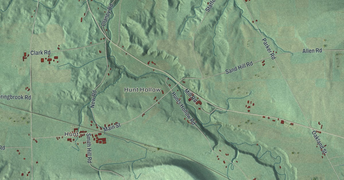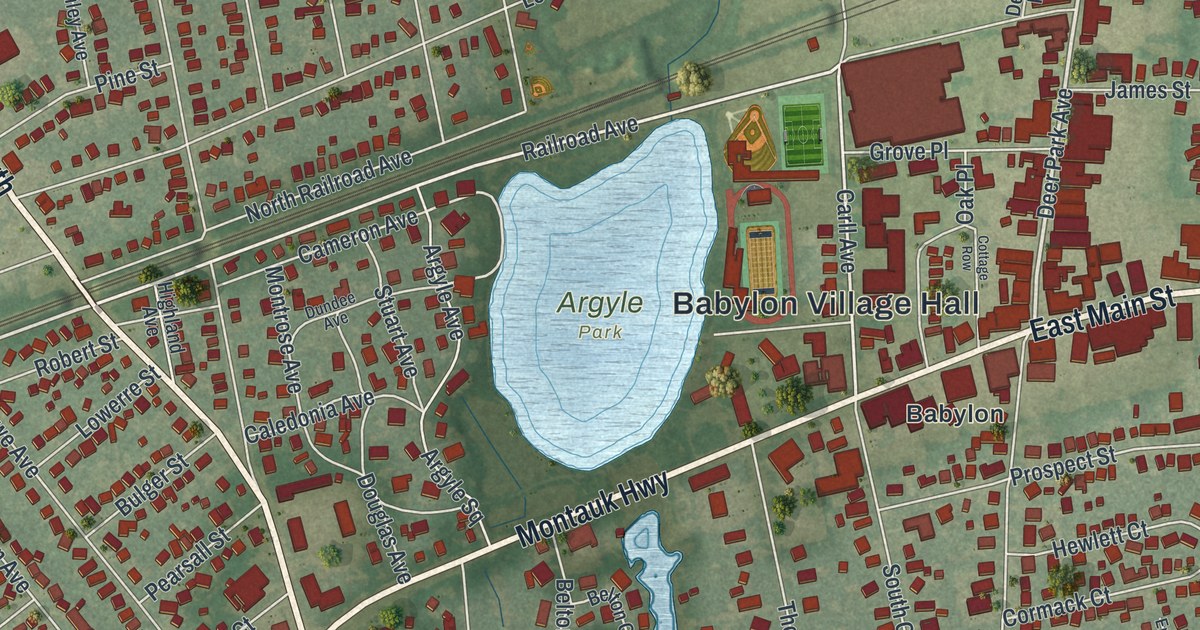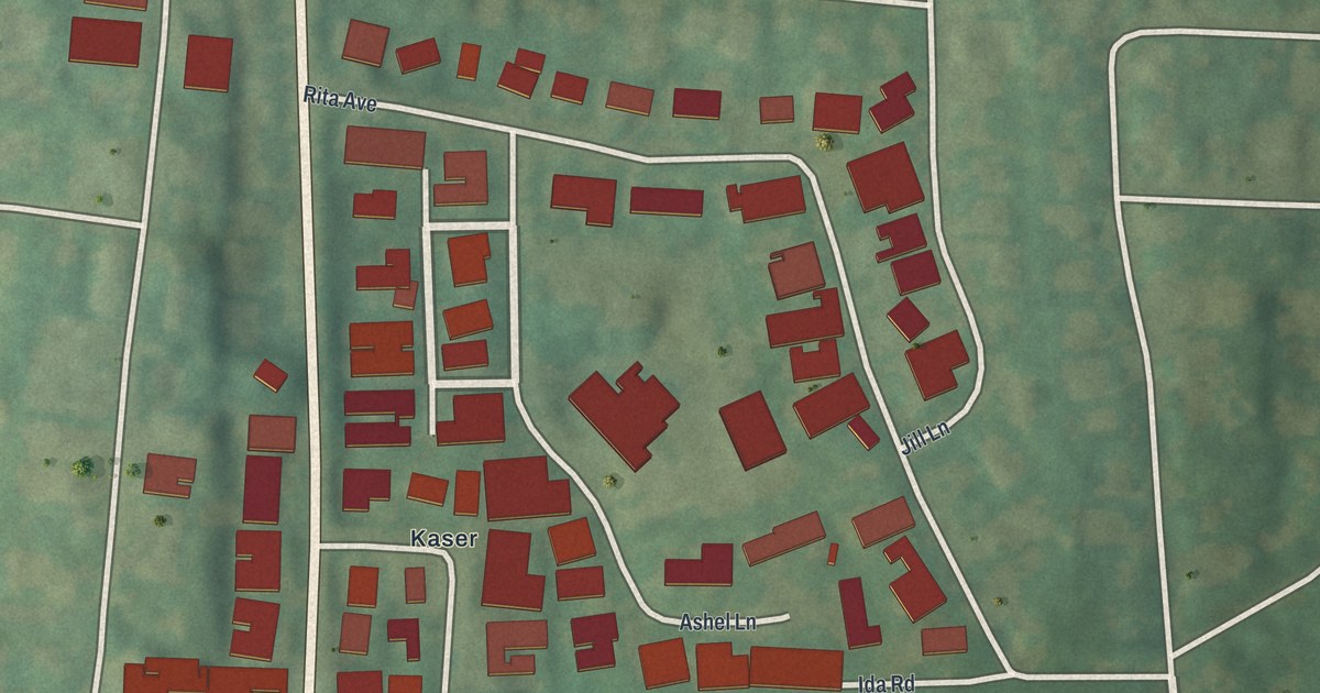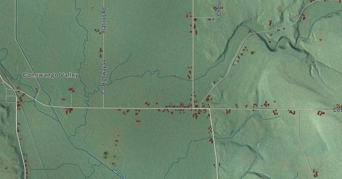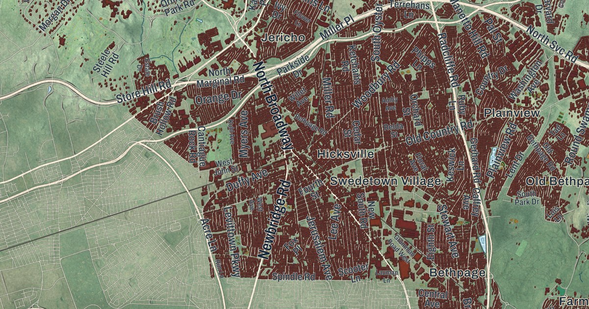
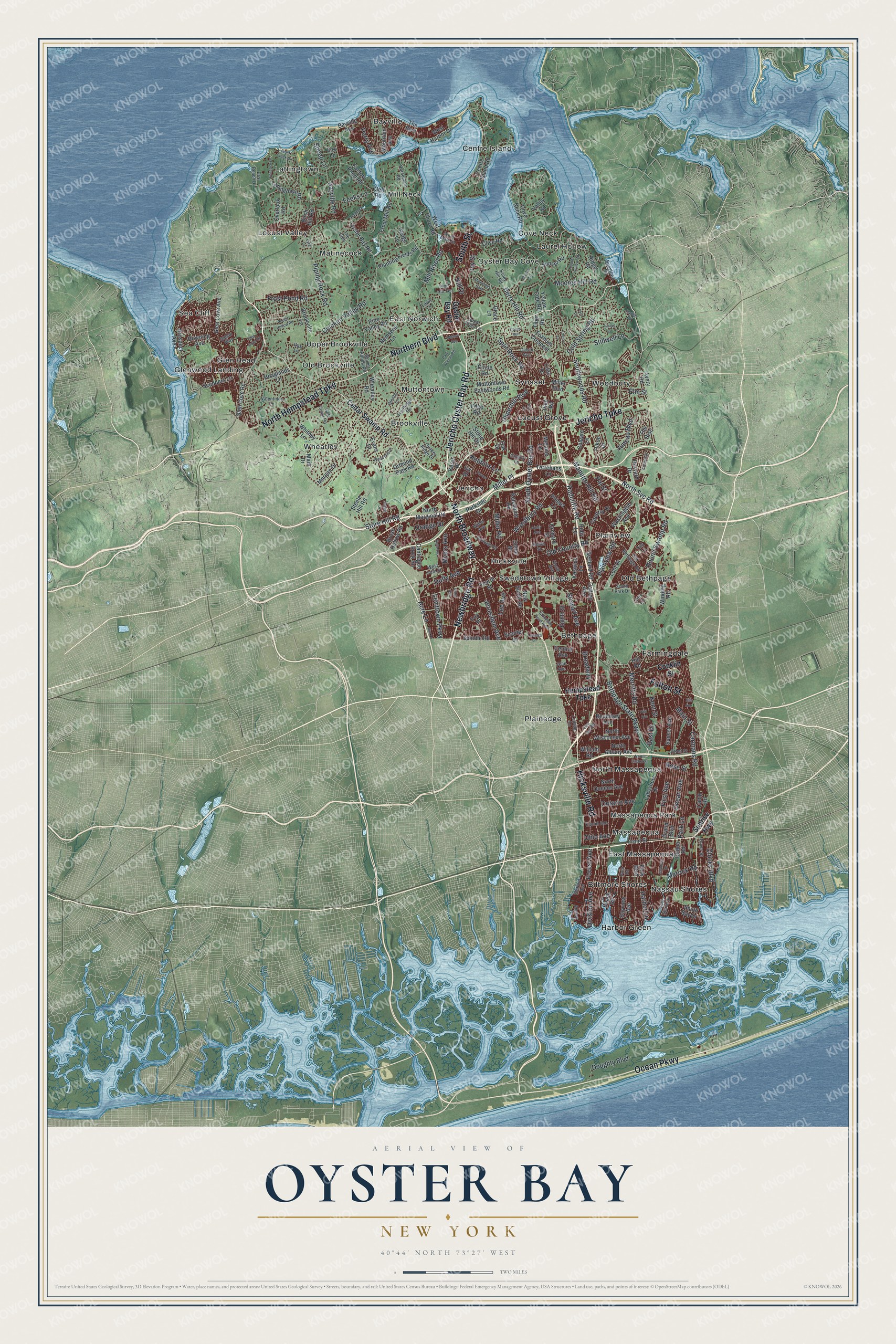
This beautifully detailed map of Oyster Bay, New York was created in 2026 using aerial imagery combined with modern topographical, census, street and landmark data. It’s a one-of-a-kind view of Oyster Bay that combines accurate data with a vintage aesthetic. The map shows every building in its true location, many of the roads carry their names, and the shaded topographic relief shows the shape of the land.
Explore an aerial view of Oyster Bay, New York
On the map you’ll find Bayville, Bethpage, Biltmore Shores, Brookville, and Centre Island, along with Hempstead Turnpike, Jericho Turnpike, Northern Boulevard, Ocean Parkway, Jericho Oyster Bay Road, and more. If you look closely you can even find your house accurately drawn in its correct location. Zoom in on the preview to look for yours.
Did You Know?
Dutch and English settlers both lived in Oyster Bay by the middle of the 1600s. They could not agree, so the village ended up with two main streets a block apart. During the Revolution, Raynham Hall, built in 1740, served as headquarters for British Lieutenant Colonel John Graves Simcoe and his Queen’s Rangers. That’s from the 1940 WPA guide to New York.
Take a closer look at the Oyster Bay map
Names on this map
These names are printed on this map.
Places: Bayville, Bethpage, Biltmore Shores, Brookville, Centre Island, Cove Neck, East Massapequa, East Norwich, Farmingdale, Glen Head, Glenwood Landing, Harbor Green, Hicksville, Jericho, Lattingtown, Laurel Hollow, Locust Grove, Locust Valley, Massapequa, Massapequa Park, Matinecock, Mill Neck, Muttontown, Nassau Shores, North Massapequa, Old Bethpage, Old Brookville, Oyster Bay Cove, Plainedge, Plainview, Sea Cliff, Swedetown Village, Syosset, Upper Brookville, Wheatley and Woodbury.
Streets and roads: North Hempstead Turnpike, Jericho Turnpike, Northern Boulevard, Ocean Parkway, Jericho Oyster Bay Road, Hicksville Road, Newbridge Road, North Broadway, Fulton Street, South Street, Woodbury Road, Broadway.
More street names, A to Z
Acre Lane, Amby Avenue, Anchor Drive, Ava Drive, Avery Road, Bayview Avenue, Bayville Avenue, Bayville Road, Beach Road, Berry Hill Road, Bethpage Road, Bethpage State Parkway, Birch Hill Road, Boundary Avenue, Brookville Lane, Brush Hollow Road, Bungtown Road, Caffrey Avenue, Calvin Avenue, Camp Road, Cantiague Rock Road, Carmans Road, Cedar Street, Cedar Swamp Road, Central Avenue, Centre Island Road, Cherry Lane, Chicken Valley Road, Circle Road, Cleft Road, Clocks Boulevard, Cold Spring Road, Colgate Lane, Colony Lane, Conklin Street, Cornell Drive, Country Drive, Cove Neck Road, Cove Road, Coves Run, Division Avenue, Doughty Boulevard, Dover Street, Downing Avenue, Duffy Avenue, East Beach Drive, East Drive, East Svc Road, Edge Road, Eighth Street, Elm Avenue, Elm Street, Estate Drive, Euclid Avenue, Evans Drive, Eyre Lane, Factory Pond Road, Feeks Lane, First Avenue, Floral Avenue, Flower Lane, Forest Avenue, Fourth Street, Foxhunt Crescent, Fox Lane, Fox Place, Front Street, Frost Creek Drive, Frost Mill Road, Frost Pond Road, Fruitledge Road, Gerhard Road, Glenby Lane, Glen Cove Avenue, Glen Cove Drive, Glen Cove Road, Gold Coast Road, Grace Lane, Grand Boulevard, Grant Street, Grumman Road West, Harbor Lane, Harbor Road, Harvard Drive, Hempstead Turnpike, Hill Drive, Hill Road, Hoaglands Lane, Horseshoe Road, Ivy Drive, Ivy Street, Jean Avenue, Jerusalem Avenue, Joludow Drive, Juneau Boulevard, Kaintuck Lane, Karol Place, Kent Street, Keswick Lane, Ketchams Road, Kuhl Avenue, Lakeshore Drive, Lattingtown Road, Lauman Lane, Laurel Hollow Road, Laurel Lane, Lawn Lane, Lee Avenue, Lent Drive, Levittown Parkway, Lilac Drive, Lois Lane, Ludwig Lane, Main Drive, Main Street, Manetto Hill Road, Melanie Lane, Merrick Road, Merritts Road, Miller Boulevard, Miller Place, Miller Road, Mill River Road, Moores Hill Road, Morgan Drive, Mountain Avenue, Muttontown Eastwoods Road, Myers Avenue, New South Road, North Albany Avenue, North Linden Street, North Marginal Road, North Queens Avenue, North Svc Road, North Wisconsin Avenue, Oak Drive, Oak Lane, Ocean Avenue, Ohio Avenue, Old Bethpage Road, Old Country Road, Ontario Avenue, Orange Drive, Orchard Street, Ormond Park Road, Overlook Road, Oyster Bay Road, Pal Street, Park Access Road, Park Boulevard, Park Lane, Parkside Drive, Peacock Lane, Perry Avenue, Phipps Lane, Pine Hill Terrace, Pine Road, Pine Valley Road, Piping Rock Road, Plainview Road, Planting Fields Road, Plitt Avenue, Polo Road, Pound Hollow Road, Prospect Avenue, Quaker Ridge Drive, Radcliffe Road, Relda Street, Remsens Lane, Ridge Lane, Ridge Road, Rim Lane, Robbins Lane, Rose Street, Round Swamp Road, Ruby Lane, Salem Way, Sandy Hill Road, Scooter Lane, Scudders Lane, Seaford Avenue, Sheep Lane, Sherwood Gate, Shutter Lane, South Bay Drive, South Oyster Bay Road, South Park Drive, Southwoods Road, Spindle Road, Split Rock Road, Steele Hill Road, Stewart Avenue, Stillwell Lane, Stone Hill Drive, Store Hill Road, Sugar Toms Lane, Sunrise Highway, Sunset Avenue, Sunset Road, Tad Lane, Terrehans Lane, The Boulevard, The Glen, The Rise, Tiber Road, Underhill Boulevard, Unqua Road, Valentines Lane, Valley Road, Vista Drive, Walnut Avenue, Washington Avenue, Wenwood Drive, West Avenue, West Harbor Drive, West John Street, West Main Street, West Shore Drive, West Shore Road, Wheatley Road, Whitney Lane, Willet Avenue, William Road, Winding Road, Wolver Hollow Road, Yellow Cote Road, Yukon Drive.
See it on a wall
The Oyster Bay map as a framed print. Swipe for more.


This beautifully detailed map of Oyster Bay makes an attractive addition to your office, library, or den, and it can even be used to teach children the geography and history of the area. It also makes a great gift for anyone with Oyster Bay roots. When you’re done exploring, click here to get your copy of the Oyster Bay map.