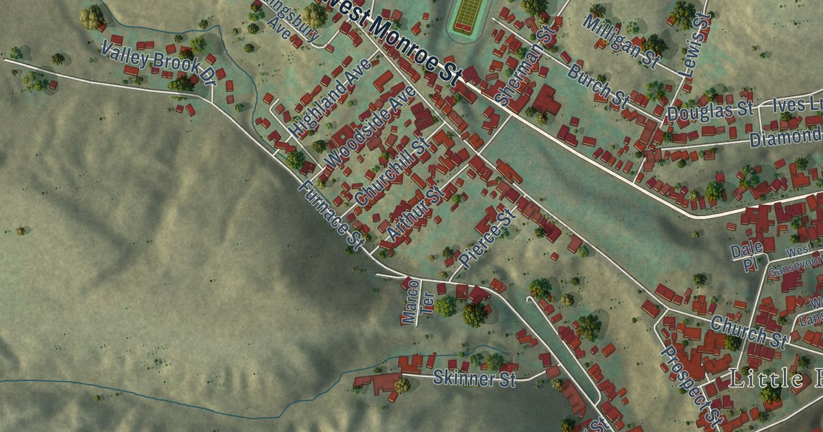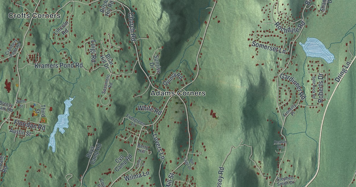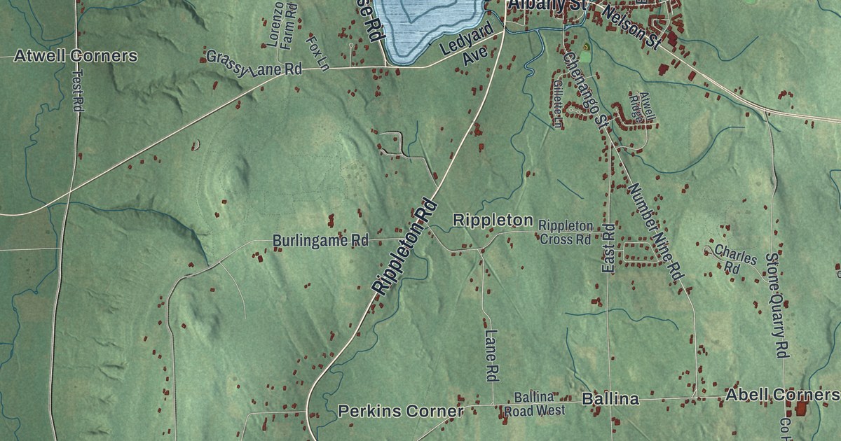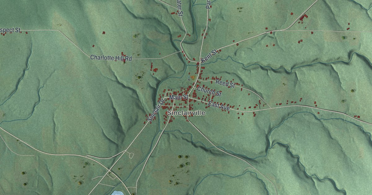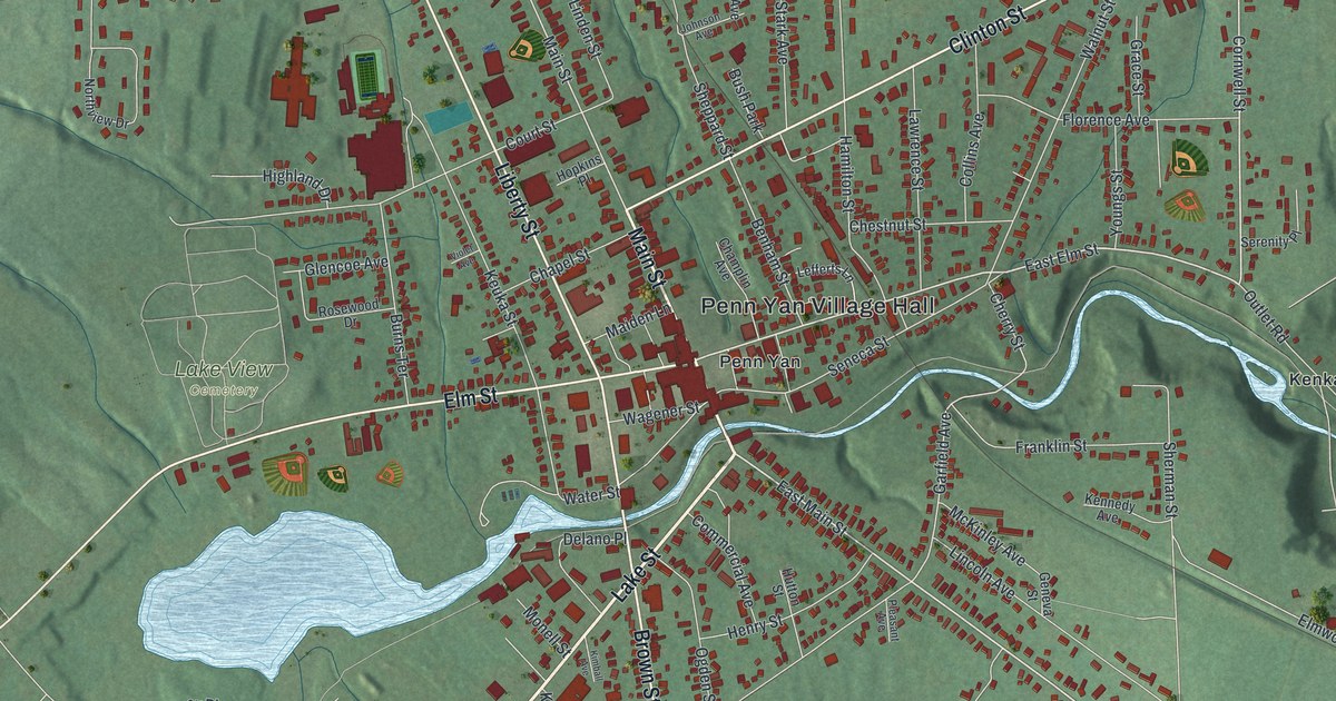
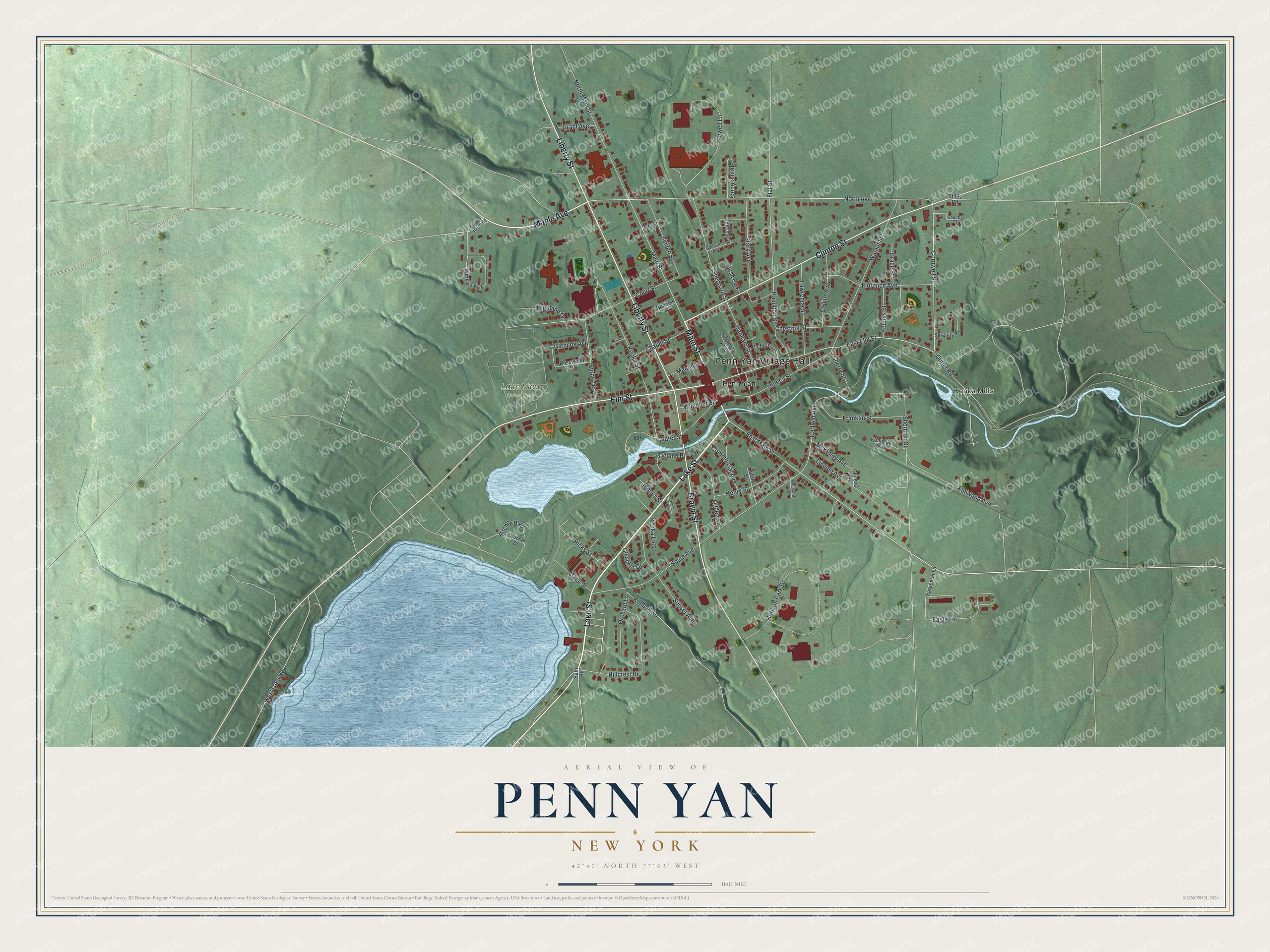
This beautifully detailed map of Penn Yan, New York was created in 2026 using aerial imagery combined with modern topographical, census, street and landmark data. It’s a one-of-a-kind view of Penn Yan that combines accurate data with a vintage aesthetic. The map shows every building in its true location, many of the roads carry their names, and the shaded topographic relief shows the shape of the land.
Explore an aerial view of Penn Yan, New York
On the map you’ll find Penn Yan Village Hall, Kenka Mills, and Lake View Cemetery, along with Lake Street, Main Street, Maple Avenue, Liberty Street, and more. If you look closely you can even find your house accurately drawn in its correct location. Zoom in on the preview to look for yours.
Did You Know?
The village name Penn Yan is a compound word. It joins names from the two classes of settlers. Penn comes from Pennsylvanians, while Yan is short for Yankees. That’s from the U.S. Geological Survey place names records.
Take a closer look at the Penn Yan map
Names on this map
These names are printed on this map.
Places: Penn Yan Village Hall, Lake View Cemetery, Kenka Mills, Penn Yan and Bush Park.
Streets and roads: Lake Street, Main Street, Maple Avenue, Liberty Street, Clinton Street, Elm Street, Brown Street, East Main Street, North Avenue, Cornwell Street, East Elm Street, Sherman Street.
More street names, A to Z
Bath Road, Benham Street, Burns Terrace, Carpenter Lane, Champlin Avenue, Chapel Street, Cherry Street, Chestnut Street, Collins Avenue, Commercial Avenue, Country Court, County House Road, Court Street, Crescent Drive, Delano Place, Eagle Lane, Elmwood Avenue, Flat Street, Florence Avenue, Franklin Street, Garfield Avenue, Geneva Street, Glencoe Avenue, Glen Street, Grace Street, Grant Avenue, Hamilton Street, Henry Street, Hicks Street, Highland Drive, Hillcrest Drive, Hopkins Place, Horizon Park Drive, Hutton Street, Johnson Avenue, Kennedy Avenue, Keuka Ests, Keuka Street, Kimball Avenue, Kimball Road, Lawrence Street, Lefferts Lane, Lincoln Avenue, Linden Street, Mace Street, Maiden Lane, McKinley Avenue, Mill Street, Monell Street, Myrtle Avenue, North Main Street, Northview Drive, Ogden Street, Orchard Lane, Outlet Road, Pleasant Avenue, Powell Lane, Ritchey Boulevard, Rosewood Drive, Seneca Street, Serenity Place, Sheppard Street, South Avenue, Spruce Acres, Stark Avenue, Stiles Road, Sunset Avenue, Sunset Drive, Violet Avenue, Wagener Street, Walnut Street, Water Street, West Lake Road, Youngs Street.
See it on a wall
The Penn Yan map as a framed print. Swipe for more.


This beautifully detailed map of Penn Yan makes an attractive addition to your office, library, or den, and it can even be used to teach children the geography and history of the area. It also makes a great gift for someone who left Penn Yan and still calls it home. When you’re done exploring, click here to get your copy of the Penn Yan map.