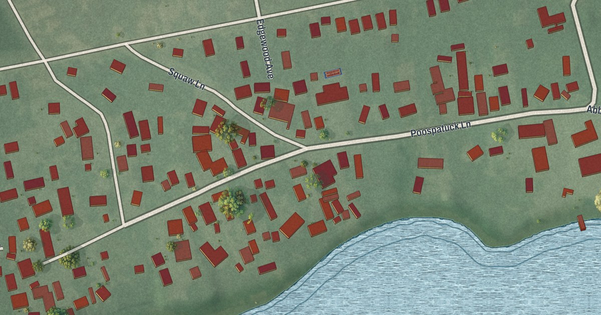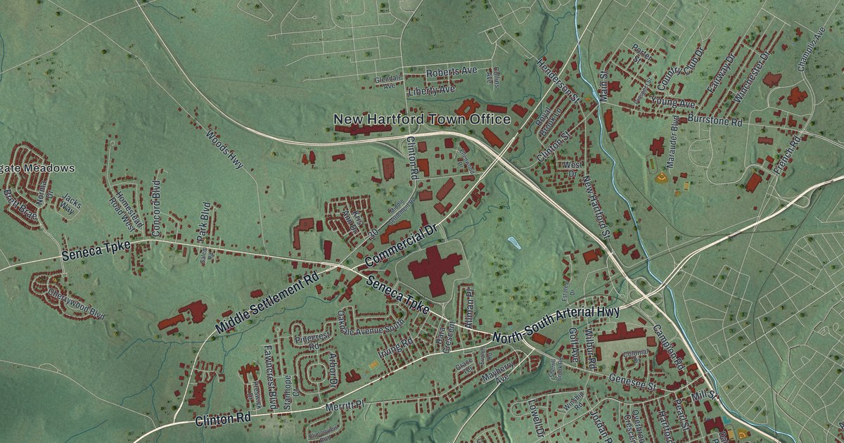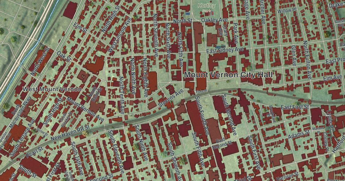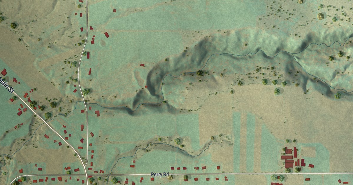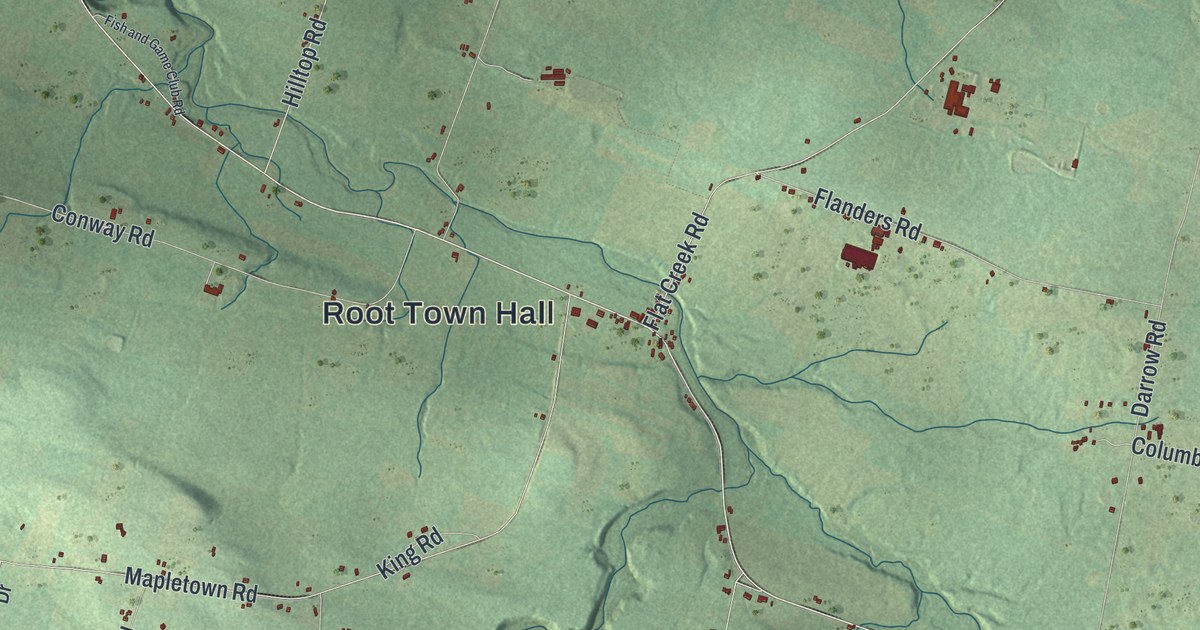
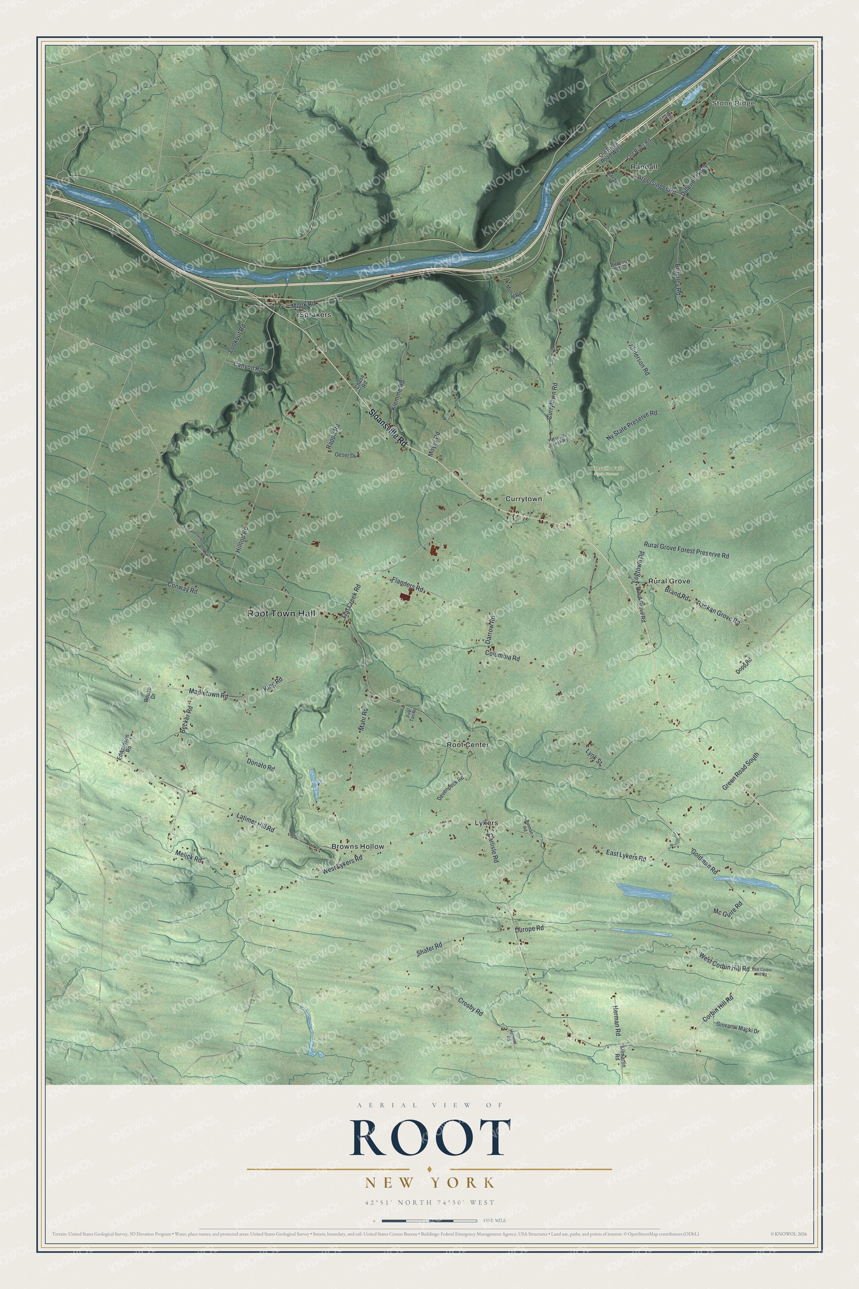
This beautifully detailed map of Root, New York was created in 2026 using aerial imagery combined with modern topographical, census, street and landmark data. It’s a one-of-a-kind view of Root that combines accurate data with a vintage aesthetic. The map shows every building in its true location, many of the roads carry their names, and the shaded topographic relief shows the shape of the land.
Explore an aerial view of Root, New York
On the map you’ll find Root Town Hall, Stone Ridge, Browns Hollow, Currytown, Lykers, Randall, and Yatesville Falls State Forest, along with Sloansville Road, Brand Road, Durope Road, Carlisle Road, and more. If you look closely you can even find your house accurately drawn in its correct location. Zoom in on the preview to look for yours.
Did You Know?
Root honors Erastus Root, a lawmaker in the nation’s early years. During the Revolution, Iroquois allies of the British under Captain John Doxtader raided and burned the small frontier settlement. After the war, many New England families arrived looking for land. Root became its own town in 1823.
Take a closer look at the Root map
Names on this map
These names are printed on this map.
Places: Root Town Hall, Stone Ridge, Yatesville Falls State Forest, Browns Hollow, Currytown, Lykers, Randall, Root Center, Rural Grove and Sprakers.
Streets and roads: Sloansville Road, Brand Road, Durope Road, Carlisle Road, Melick Road, Rankan Grove Road, West Lykers Road, Shafer Road, West Corbin Hill Road, Lynk Street, Currytown Road, Anderson Road.
More street names, A to Z
Argersinger Road, Becker Road, Brumley Road, Buteau Drive, Canyon Road, Chase Road, Columbia Road, Conway Road, Corbin Hill Road, Crosby Road, Darrow Road, Devenpeck Road, Dillenbeck Road, Donato Road, Dopp Road, Dutchess Road, East Corbin Hill Road, East Lykers Road, Edwardsen Road, Fish and Game Club Road, Flanders Road, Flat Creek Road, Full Tan Road, Giovanni Macki Drive, Goldman Road, Green Road South, Helmire Road, Herman Road, Hilltop Road, Iris Lane, Kilmartin Road, King Road, Klemme Road, Latimer Hill Road, Logtown Road, Lookout Road, Mahr Road, Mapletown Road, Mc Guire Road, Monk Road, Mosa Road, Moyer Road, Ny State Preserve Road, Oeser Drive, Old River Road, Old River Road West, Putman Road, Rappa Road, Rouse Drive, Rural Grove Forest Preserve Road, Rural Grove Road, Yatesville Creek Road.
See it on a wall
The Root map as a framed print. Swipe for more.


This beautifully detailed map of Root makes an attractive addition to your office, library, or den, and it can even be used to teach children the geography and history of the area. It also makes a great gift for anyone who grew up in Root or moved away. When you’re done exploring, click here to get your copy of the Root map.