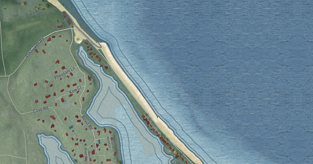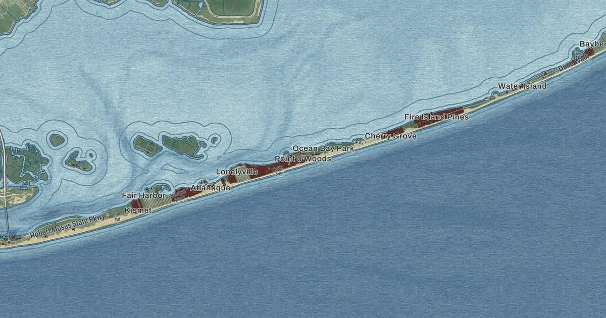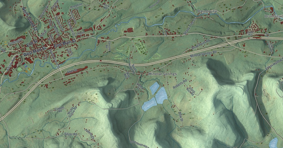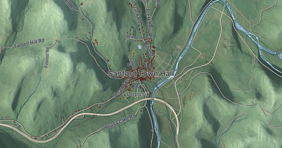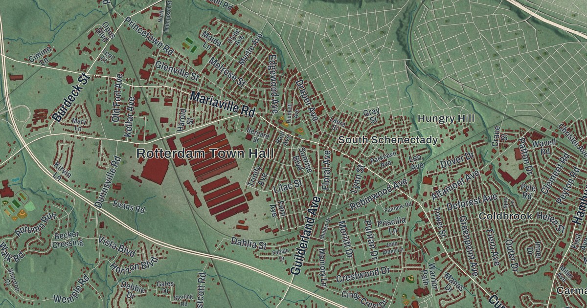
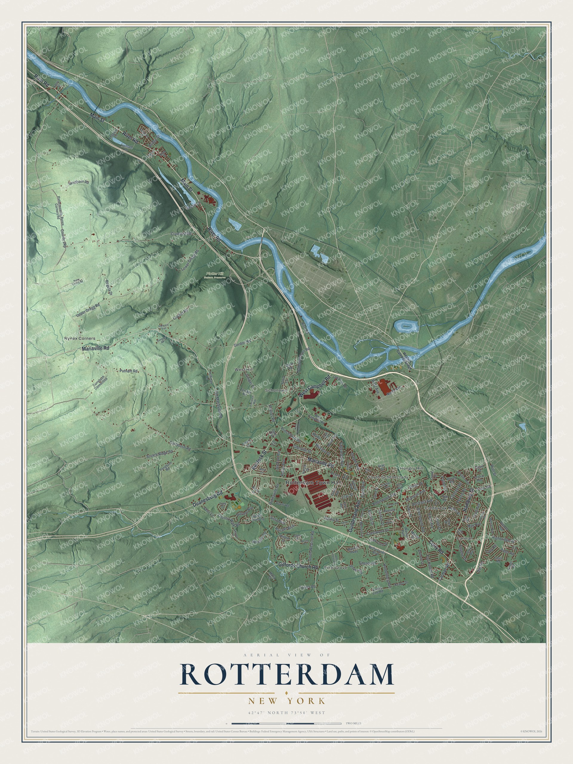
This beautifully detailed map of Rotterdam, New York was created in 2026 using aerial imagery combined with modern topographical, census, street and landmark data. It’s a one-of-a-kind view of Rotterdam that combines accurate data with a vintage aesthetic. The map shows every building in its true location, many of the roads carry their names, and the shaded topographic relief shows the shape of the land.
Explore an aerial view of Rotterdam, New York
On the map you’ll find Rotterdam Town Hall, Carman, Coldbrook, Hungry Hill, Pine Grove, Rynex Corners, and Plotter Kill Nature Preserve, along with Main Street, Mariaville Road, River Road, Curry Road, and more. If you look closely you can even find your house accurately drawn in its correct location. Zoom in on the preview to look for yours.
Did You Know?
Rotterdam began as the farms and wood lots of Schenectady’s early Dutch settlers. Most of them lived inside the Schenectady stockade and worked their fields by day. The land became the city’s third ward in 1798. The legislature made it a separate town on April 14, 1820.
Take a closer look at the Rotterdam map
Names on this map
These names are printed on this map.
Places: Rotterdam Town Hall, Plotter Kill Nature Preserve, Carman, Coldbrook, Hungry Hill, Pine Grove, Rynex Corners, Schonowe, South Schenectady and West Hill.
Streets and roads: Main Street, Mariaville Road, River Road, Curry Road, Duanesburg Road, Guilderland Avenue, Hamburg Street, Burdeck Street, Giffords Church Road, West Campbell Road, Crawford Road, Putnam Road.
More street names, A to Z
Alexander Drive, Altamont Avenue, Anthony Drive, Autumn Run, Becker Crossing, Bernard Street, Bluff Road, Bradt Street, Bridge Street, Carman Road, Central Avenue, Chism Street, Chrisler Avenue, Cimino Lane, Cindy Crest Drive, Clement Road, Clyde Avenue, Coplon Road, Country Walk Road, County Line Road, Crane Street, Crestwood Drive, Currybush Connection, Currybush Road, Dahlia Street, Day Road, Debbie Drive, Deforest Avenue, Dover Drive, Draper Avenue, Dunnsville Road, Edgewood Avenue, Entrance Way, Eugene Drive, Evans Road, Fabian Drive, Fairlane Road, Fern Avenue, Ferry Street, Feuz Lane, Fiero Avenue, First Avenue, Floral Avenue, Fort Hunter Road, Fred Road, Gates Drive, Ghents Road, Glenville Street, Gordon Road, Gray Street, Greenpoint Avenue, Harold Street, Helderberg Avenue, Helen Street, Highbridge Road, Hoffman Lane, Horizon Boulevard, Inner Drive, Iroquois Street, Jerry Avenue, John Alden Lane, Juniper Drive, Keator Drive, Kellar Avenue, Kings Road, Kirvin Lane, Laura Street, Leggiero Lane, Lent Court, Leo Avenue, Lilac Street, Louis Road, Lower Gregg Road, Lucy Road, Lynn Street, Mabie Lane, Maida Lane, Manas Drive, Maria Court, Mary Lane, Masullo Parkway, May Avenue, McKinley Avenue, Melrose Street, Memory Lane, Mercer Avenue, Merritt Drive, Miller Avenue, Mullen Drive, Myrtle Avenue, Netherlands Boulevard, North Avenue, North Thompson Street, Old Fort Avenue, Old Mariaville Road, Old River Road, Opus Boulevard, Outer Drive, Palmer Avenue, Pangburn Road, Parklawn Avenue, Pattersonville-Rynex Corners Road, Patton Drive, Paul Avenue, Peter Road, Peyton Road, Phillips Road, Platterkill Trail, Plunkett Avenue, Princetown Road, Priscilla Lane, Puritan Drive, Pyle Road, Regula Drive, Rice Road, Robinwood Avenue, Rynex Corners Road, Sandborn Road, Schermerhorn Road, Scotch Ridge Road, Shardon Court, Sommers Road, South Westcott Road, Spry Lane, Steeple Way, Sterling Road, Sunrise Boulevard, Sylvia Lane, Terrace Road, Third Avenue, Tony Drive, Tower Avenue, Tower Street, Trinity Avenue, Turnbull Lane, Turner Road, Upper Gregg Road, Vista Boulevard, Warrior Path, Watt Street, Wavell Road, Wemple Road, West Avenue, Western Gateway Bridge, West Ghents Road.
See it on a wall
The Rotterdam map as a framed print. Swipe for more.


This beautifully detailed map of Rotterdam makes an attractive addition to your office, library, or den, and it can even be used to teach children the geography and history of the area. It also makes a great gift for anyone who grew up in Rotterdam or moved away. When you’re done exploring, click here to get your copy of the Rotterdam map.