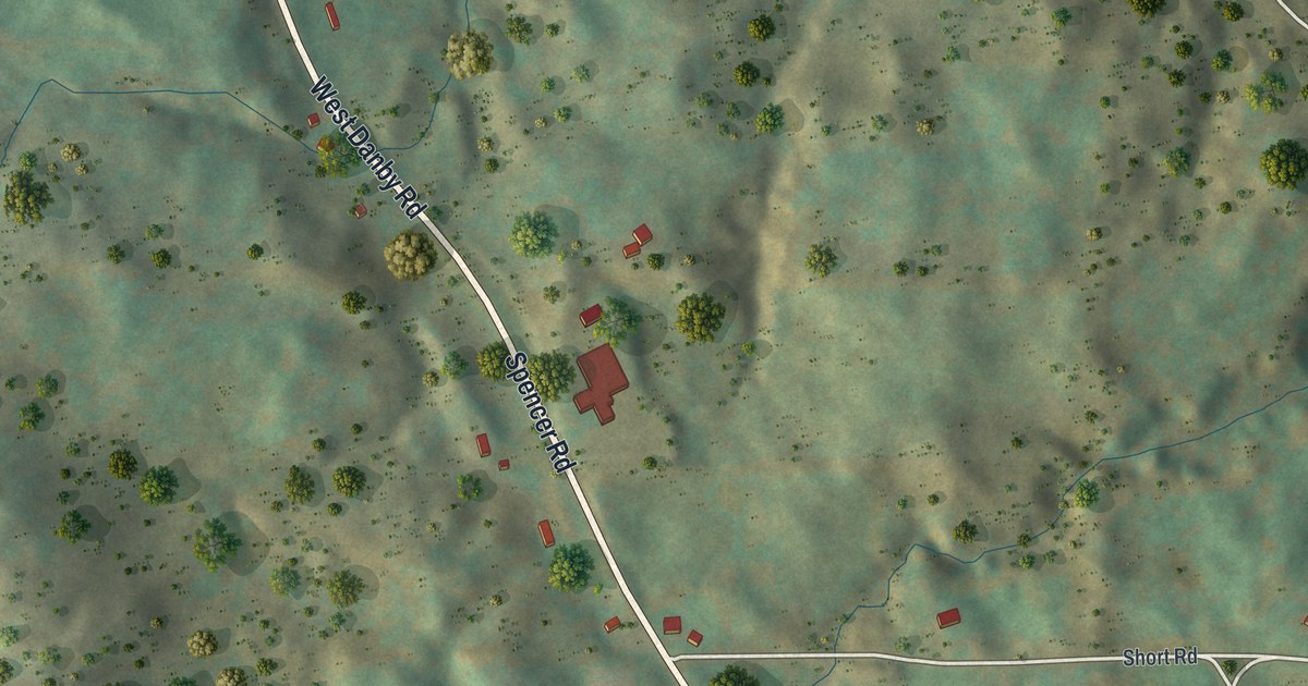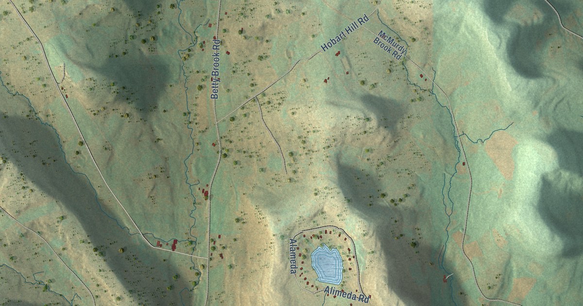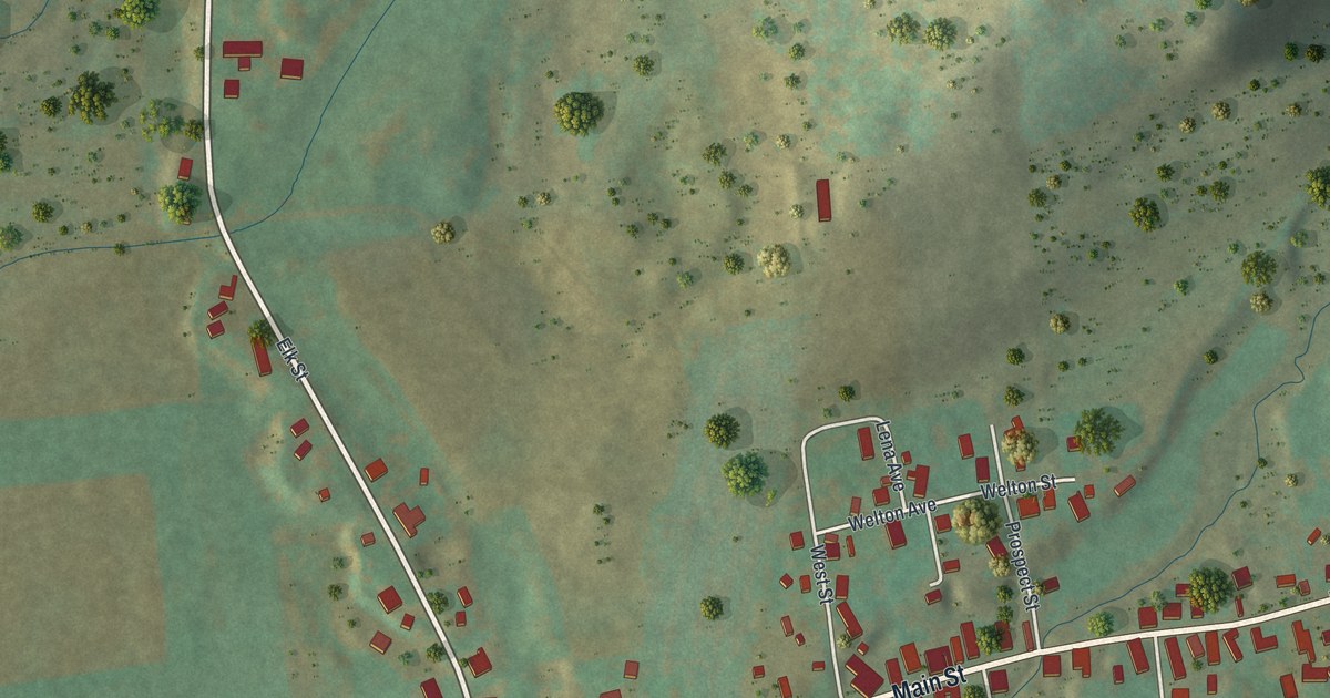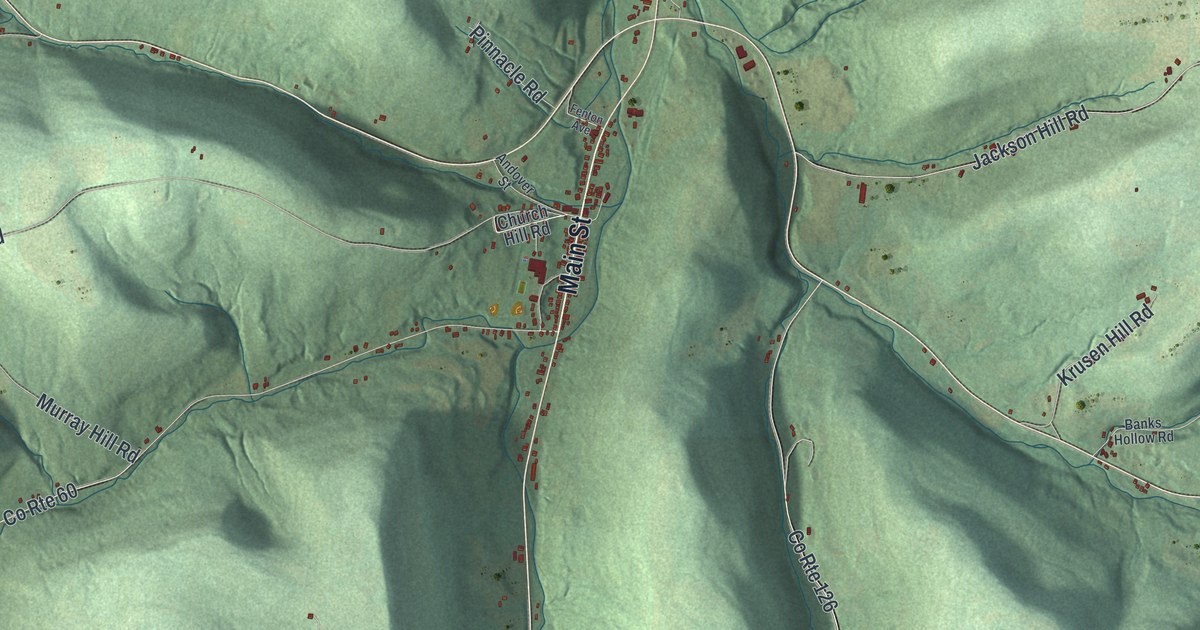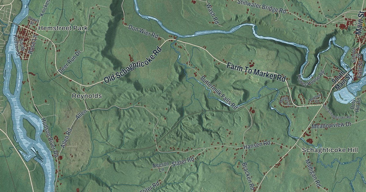
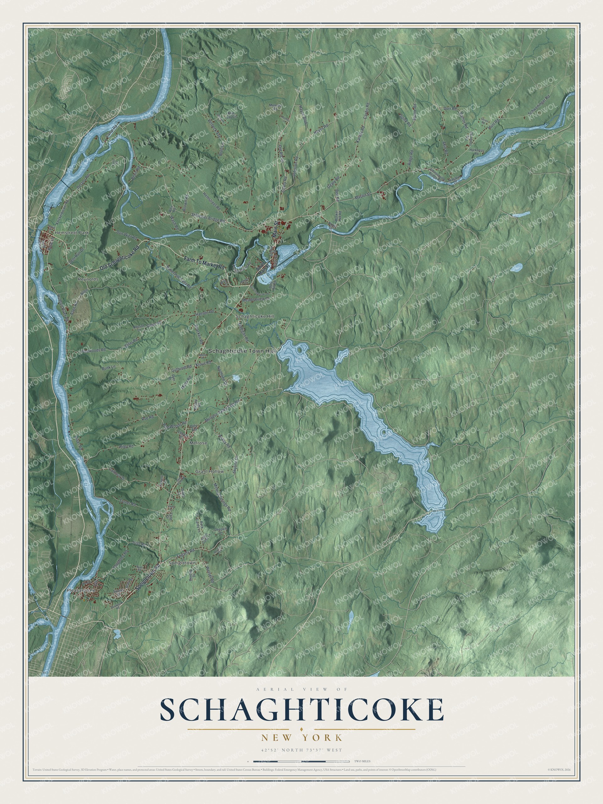
This beautifully detailed map of Schaghticoke, New York was created in 2026 using aerial imagery combined with modern topographical, census, street and landmark data. It’s a one-of-a-kind view of Schaghticoke that combines accurate data with a vintage aesthetic. The map shows every building in its true location, many of the roads carry their names, and the shaded topographic relief shows the shape of the land.
Explore an aerial view of Schaghticoke, New York
On the map you’ll find Schaghticoke Town Hall, Grant Hollow, Hemstreet Park, Melrose, Pleasantdale, and Reynolds, along with Speigletown Road, Farm To Market Road, Old Schaghticoke Road, Main Street, and more. If you look closely you can even find your house accurately drawn in its correct location. Zoom in on the preview to look for yours.
Did You Know?
Schaghticoke means the place where the waters mingle. In 1675 New York governor Edmund Andros planted a Tree of Welfare where the Hoosic River meets Tomhannock Creek. The tree stood for friendship between the English, the Dutch and the Schaghticoke people. These Mohican refugees from New England stayed here until 1754.
Take a closer look at the Schaghticoke map
Names on this map
These names are printed on this map.
Places: Schaghticoke Town Hall, Grant Hollow, Hemstreet Park, Melrose, Pleasantdale, Reynolds, Schaghticoke Hill and Speigletown.
Streets and roads: Speigletown Road, Farm To Market Road, Old Schaghticoke Road, Main Street, Melrose Valley Falls Road, Fogarty Road, Rose Lane, River Road, Hudson River Road, Madigan Road, Allen Road, Delano Road.
More street names, A to Z
Akin Road, Albert Drive, Allen, Ankey Road, Barton Road, Bell Road, Bentley Drive, Bevis Road, Blue Jay Circle, Bracken Road, Brickyard Road, Brott Lane, Brown Road, Bunker Hill Road, Bunk Lane, Buttermilk Falls Road, Calhoun Drive, Canal Road, Cardis Road, Casey Road, Chipmunk Court, Church Street, Curtu Road, Deepkill Lane, Deer Run Drive, Diane Lane, Don Wier Road, Dorr Road, Doty Avenue, Doty Hill Road, Dyer Drive, East Schaghticoke Road, East Street, Fane Court, Geary Road, Geren Road, Grant Hollow Road, Gutbrodt Road, Hansen Road, Harkness Road, Haughney Road, Hayes Boulevard, Hayes Road, Hemstreet Road, Hewitt Street, Hunt Road, Irish Road, Johnson Road, Johnsonville Bridge Road, Kardas Road, Knickerbocker Road, Krous Road, Malm Road, Master Street, Matala Drive, Matthew Drive, Meadowview Drive, Millard Road, Mineral Springs Road, Molesky Lane, Molesky Road, Moore Road, Mountain Way, Muriel Lane, Neeson Lane, Niagara Lane, Northline Drive, North Street, Old Route 40, Pinewoods Road, Pine Woods Road, Power House Road, Powers Lane, Ribbon Candy Lane, Ridge Road, Riley Road, River Bend Road, Rock Candy Lane, Roe Road, Ryan Road, School Street, Schweninger Road, Skyline Drive, Slater Road, Sliter Road, South Hudson Street, South Main Street, Spink Road, Starr Road, Stillwater Bridge Road, Sunset Drive, The Loupe Road, Turner Road, Verbeck Avenue, Wash Road, Weir Road, Wetsel Road.
See it on a wall
The Schaghticoke map as a framed print. Swipe for more.


This beautifully detailed map of Schaghticoke makes an attractive addition to your office, library, or den, and it can even be used to teach children the geography and history of the area. It also makes a great gift for anyone with Schaghticoke roots. When you’re done exploring, click here to get your copy of the Schaghticoke map.