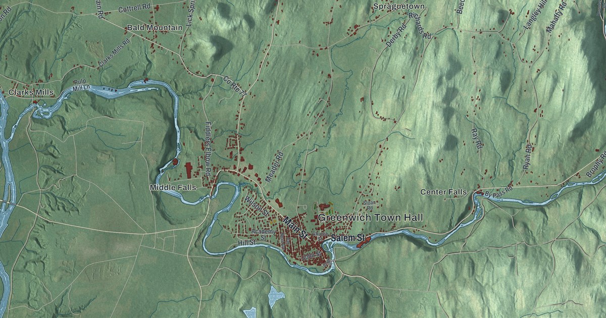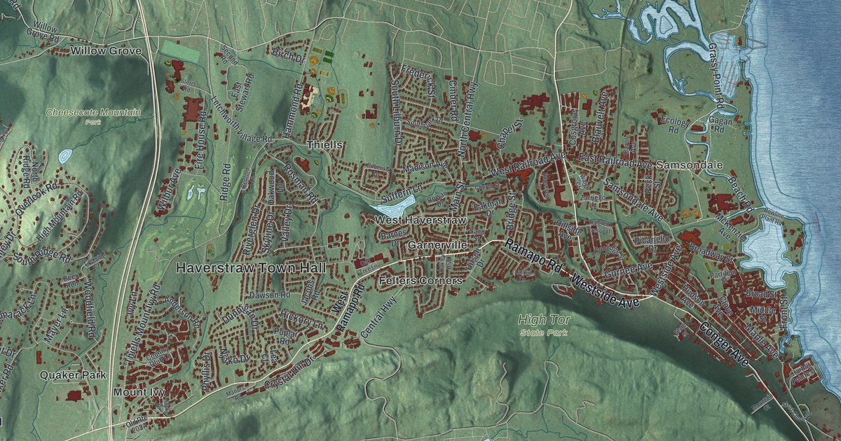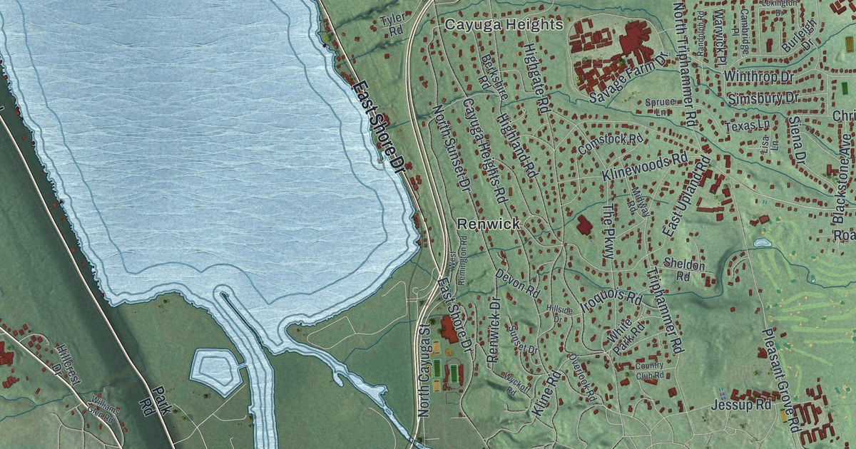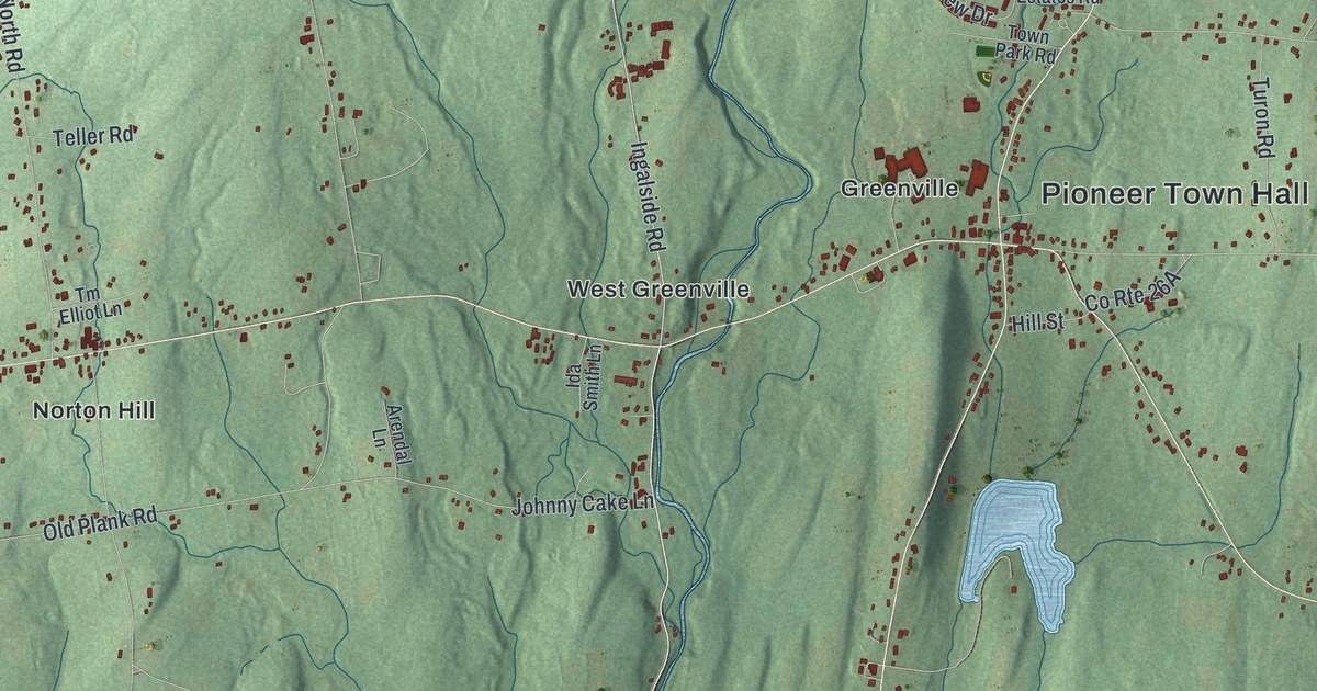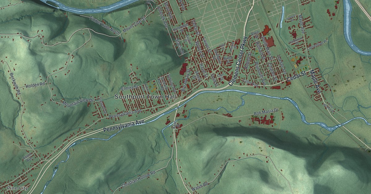
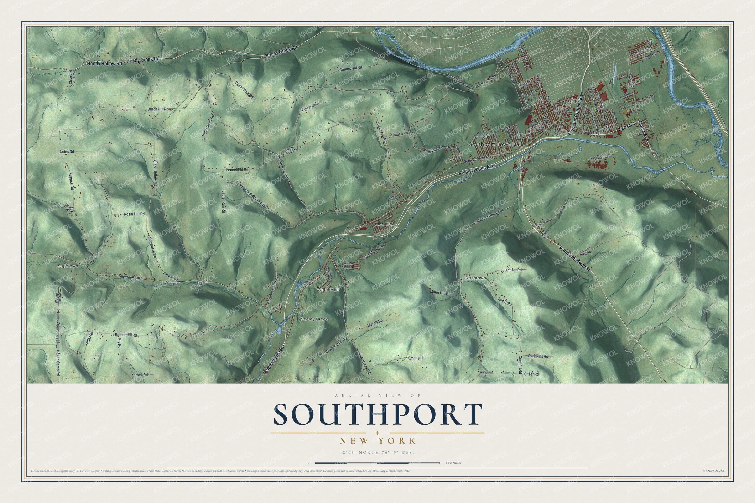
This beautifully detailed map of Southport, New York was created in 2026 using aerial imagery combined with modern topographical, census, street and landmark data. It’s a one-of-a-kind view of Southport that combines accurate data with a vintage aesthetic. The map shows every building in its true location, many of the roads carry their names, and the shaded topographic relief shows the shape of the land.
Explore an aerial view of Southport, New York
On the map you’ll find Southport Town Hall, Sagetown, Rosstown, Seeley Creek, Webb Mills, and Pine City, along with Pennsylvania Avenue, Broadway Street, Cedar Street, Maple Avenue, and more. If you look closely you can even find your house accurately drawn in its correct location. Zoom in on the preview to look for yours.
Did You Know?
The first settlers reached what is now Southport around 1786. They built a school in 1799 and a church in 1819, and the town was formed in 1822. By 1875 Southport was the top farming town in Chemung County, with 375 farms selling produce, butter, milk and eggs to Elmira and beyond.
Take a closer look at the Southport map
Names on this map
These names are printed on this map.
Places: Southport Town Hall, Sagetown, Rosstown, Seeley Creek, Webb Mills, Pine City and Woodland Park.
Streets and roads: Pennsylvania Avenue, South Broadway Street, Cedar Street, Maple Avenue, Hendy Creek Road, Hendy Hollow Road, Clemens Center Parkway, Kinner Hill Road, Hogan Camp Road, Widger Hill Road, Sitzer Road, Elmira Street.
More street names, A to Z
Acorn Avenue, Allen Street, Antes Road, Arcadia Road, Ashdown Lane, Bartholomew Road, Batavia Street, Beckwith Road, Bird Creek Road, Bly Road, Bob Masia Drive, Bonaview Avenue, Broadway Street, Budd Street, Carl Street, Caton Avenue, Charles Street, Christian Hollow Road, Clark Hollow Road, Cleveland Hill Road, Coldbrook Drive, Combs Hill Road, Comfort Hill Road, Comfort Road, County Line Road, Curren Road, Dry Run Road, Dutch Hill Road, Fair Street, Fisher Drive, Hampton Road, Hazel Street, High Haven Road, Hogancamp Road, Holden Road, Holdridge Street, Holecek Avenue, Kent Street, Kenyon Street, Laurel Run Road, Laurel Street, Laurentian Place, Left Branch Dry Run Road, Lewis Road, Lightizer Road, Manchester Road, Miller Hill Road, Miller Road, Milton Street, Monks Road, Mountain View Drive, Mount Zoar Road, Mount Zoar Street, Oakdale Avenue, Orchard Park Road, Pauline Avenue, Peacefield Road, Pine Acres Road, Pine Hills Drive, Plymouth Avenue, Richard Street, Robert Street, Rolling Acres Road, Rosar Hill Road, Sagetown Road, Schuyler Avenue, Sebring Avenue, Sharr Avenue, Sheely Street, Simpkins Road, Smith Road, Smith Street, Snowberg Road, Snowburg Road, South Main Street, Southport Street, Spruce Street, Stacia Drive, Strock Road, Strouse Road, Sunset Road, Timber Lane North, Tory Meadow Drive, Trescott Drive, Walsh Road, Wedger Hill Road, Wheeler Drive, Yale Street.
See it on a wall
The Southport map as a framed print. Swipe for more.


This beautifully detailed map of Southport makes an attractive addition to your office, library, or den, and it can even be used to teach children the geography and history of the area. It also makes a great gift for anyone with Southport roots. When you’re done exploring, click here to get your copy of the Southport map.