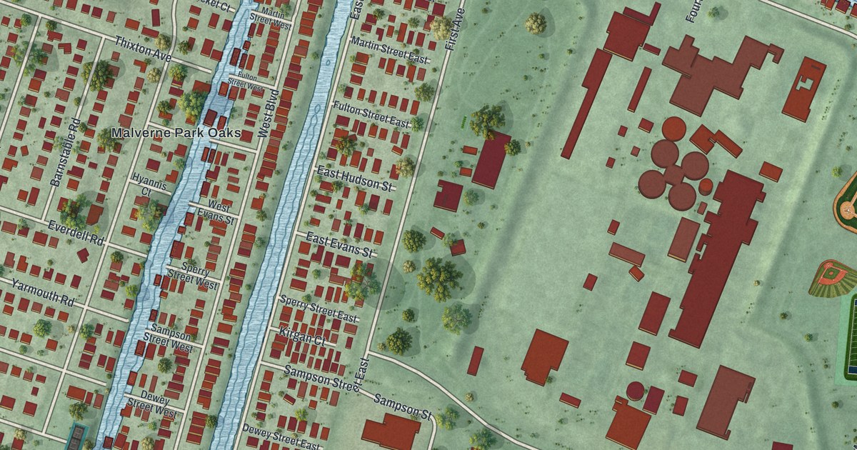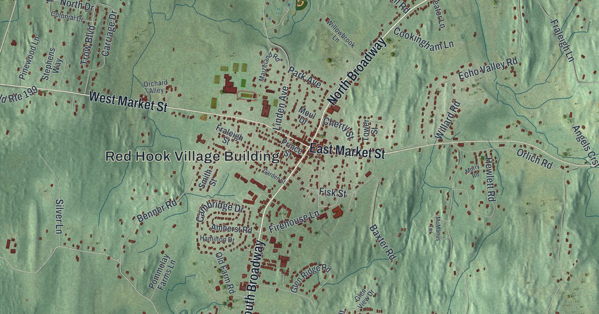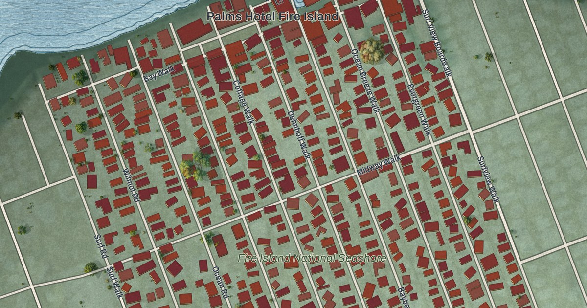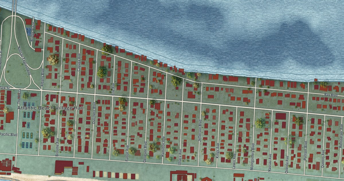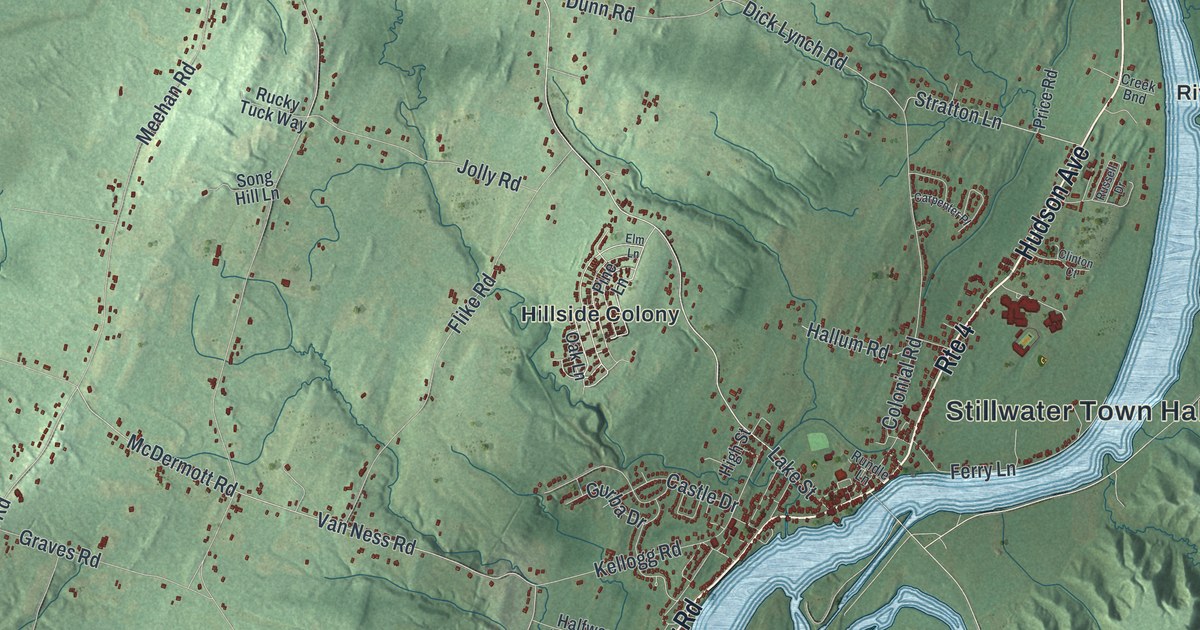
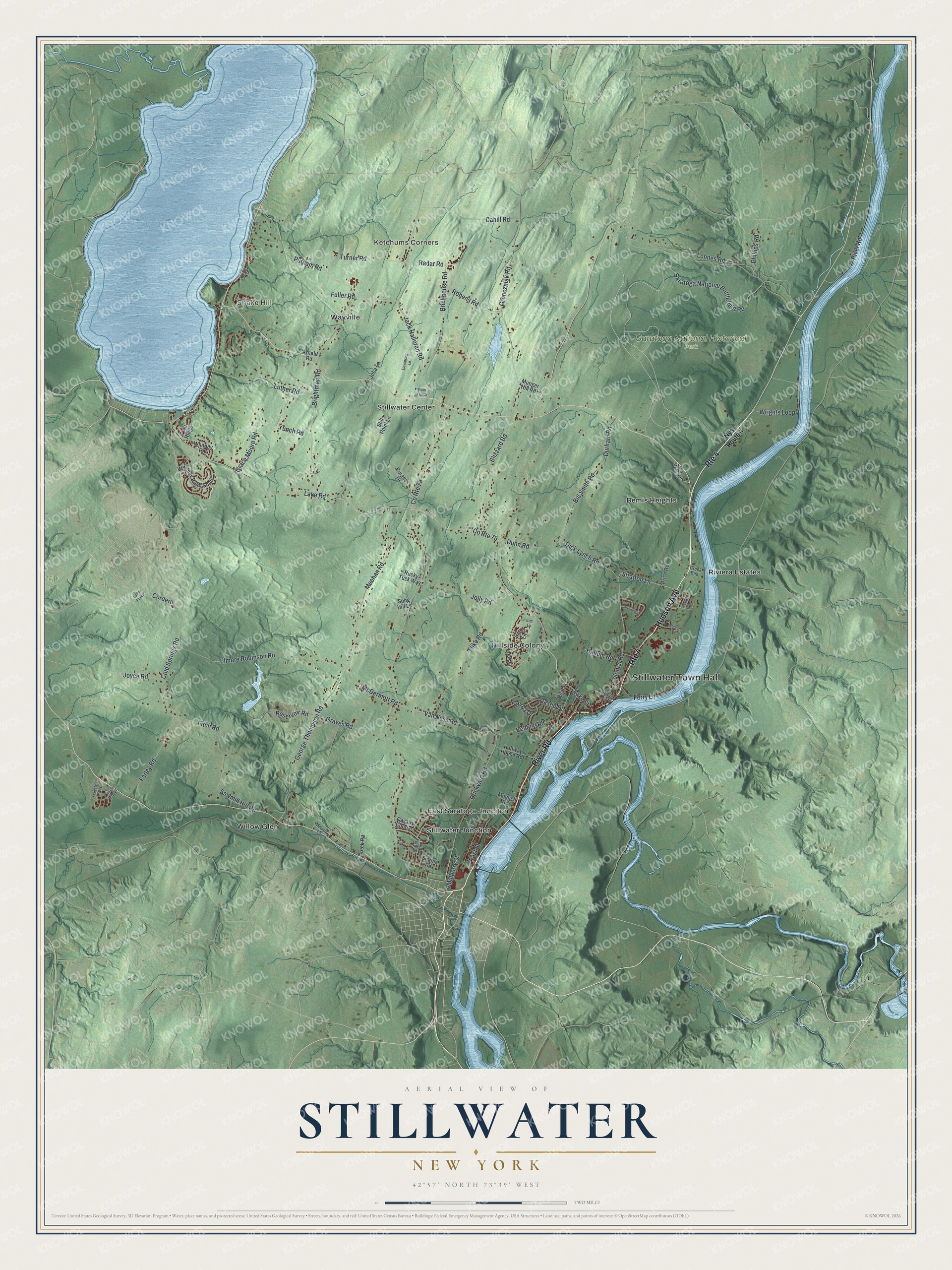
This beautifully detailed map of Stillwater, New York was created in 2026 using aerial imagery combined with modern topographical, census, street and landmark data. It’s a one-of-a-kind view of Stillwater that combines accurate data with a vintage aesthetic. The map shows every building in its true location, many of the roads carry their names, and the shaded topographic relief shows the shape of the land.
Explore an aerial view of Stillwater, New York
On the map you’ll find Stillwater Town Hall, Snake Hill, Ketchums Corners, Bemis Heights, East Saratoga Junciton, Hillside Colony, and Saratoga National Historical Park, along with River Road, Hudson Avenue, Saratoga National Battlefield Road, Phillips Road, and more. If you look closely you can even find your house accurately drawn in its correct location. Zoom in on the preview to look for yours.
Did You Know?
Some of the fighting in the Battle of Saratoga took place in Stillwater during the American Revolution. That is why the town calls itself the turning point of the Revolution. Saratoga National Historical Park lies within its limits today.
Take a closer look at the Stillwater map
Names on this map
These names are printed on this map.
Places: Stillwater Town Hall, Snake Hill, Ketchums Corners, Saratoga National Historical Park, Bemis Heights, East Saratoga Junciton, Hillside Colony, Riviera Estates, Stillwater Center, Stillwater Junction, Wayville and Willow Glen.
Streets and roads: Route 4, River Road, Hudson Avenue, Saratoga National Battlefield Road, Phillips Road, Stratton Lane, Van Ness Road, McDermott Road, Cold Springs Road, Brickyard Road, Dick Lynch Road, Lohnes Road.
More street names, A to Z
Arnald Road, Battery Boulevard, Bill Smith Road, Blizzard Road, Brickhouse Road, Brightman Road, Burgess Drive, Cahill Road, Carpenter Place, Castle Drive, Cavalry Course, Clinton Court, Colonial Road, Cordero, County Route 75, County Route 76, Creek Bnd, Creek Road, Dayspring Lane, Dove Tail Drive, Dunn Road, Durham Road, East Street, Elm Lane, Elmore Robinson Road, Farley Road, Ferry Lane, Fitch Road, Flike Road, Fuller Road, George Thompson Road, Grace Moore Road, Graves Road, Gronczniak Road, Gurba Drive, Halfway House Road, Hallum Road, High Street, Jack Halloran Road, Jib Drive, Joba Lane, Jolly Road, Joyce Road, Kellogg Road, King's Isle Lane, Lake Road, Lake Street, Luther Forest, Luther Road, Majesty's Way, Meadow Lane, Meehan Road, Mitchell Road, Mulberry Street, Munger Hill Road, Nys Route 4, Oak Lane, Old State Road, Pine Lane, Pine Ridge, Port Way, Price Road, Putnam Road, Radar Road, Reservoir Road, Robens Road, Rucky Tuck Way, Rundle Lane, Russell Drive, Sawmill Hill Road, Sirchia Road, Song Hill Lane, Still Point Lane, Turner Road, Whitney Road, Whitney Road South, Wrights Loop, Yunch Road.
See it on a wall
The Stillwater map as a framed print. Swipe for more.


This beautifully detailed map of Stillwater makes an attractive addition to your office, library, or den, and it can even be used to teach children the geography and history of the area. It also makes a great gift for someone who left Stillwater and still calls it home. When you’re done exploring, click here to get your copy of the Stillwater map.