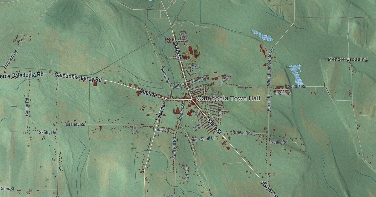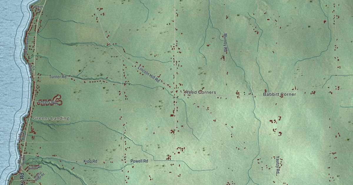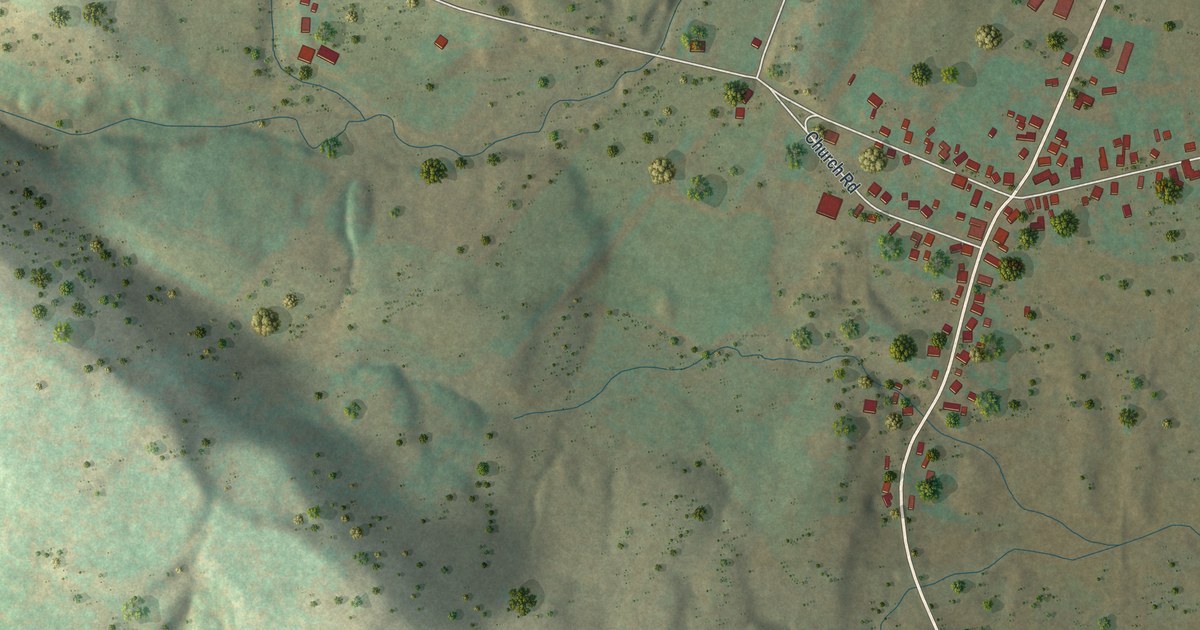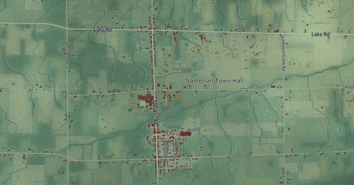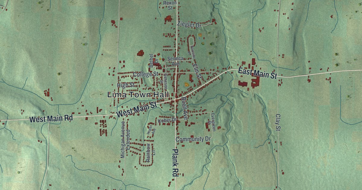
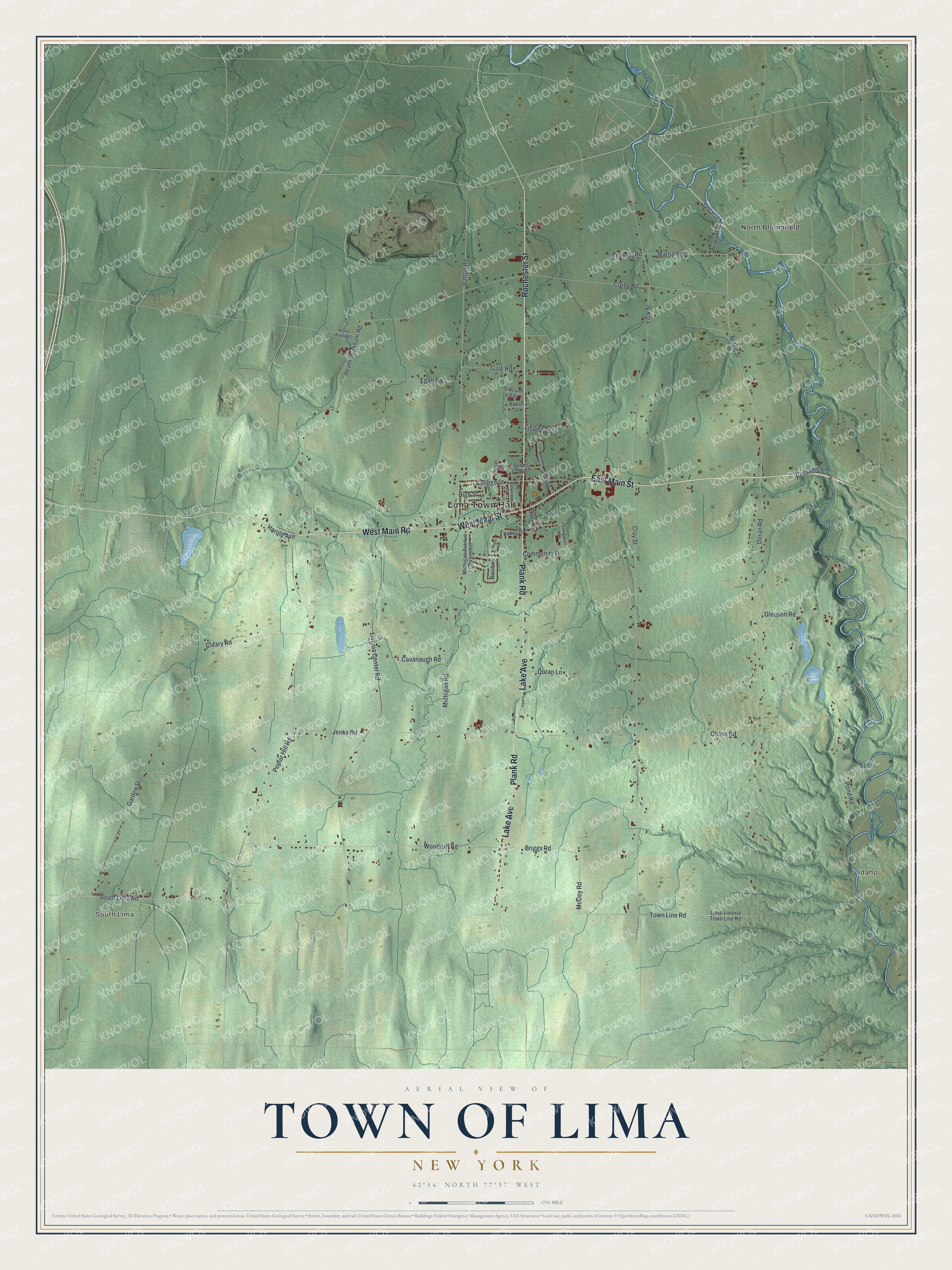
This beautifully detailed map of the Town of Lima, New York was created in 2026 using aerial imagery combined with modern topographical, census, street and landmark data. It’s a one-of-a-kind view of the Town of Lima that combines accurate data with a vintage aesthetic. The map shows every building in its true location, many of the roads carry their names, and the shaded topographic relief shows the shape of the land.
Explore an aerial view of the Town of Lima, New York
On the map you’ll find Lima Town Hall, South Lima, Idaho, and North Bloomfield, along with Main Street, Rochester Street, Main Road, Lake Avenue, and more. If you look closely you can even find your house accurately drawn in its correct location. Zoom in on the preview to look for yours.
Did You Know?
Lima was organized in 1789 under the name Charleston. In 1808 the town took the name Lima, because many of its people had come from Old Lyme, Connecticut. The change also ended mix-ups with another Charleston in Montgomery County.
Take a closer look at the Town of Lima map
Names on this map
These names are printed on this map.
Places: Lima Town Hall, South Lima, Idaho and North Bloomfield.
Streets and roads: East Main Street, Rochester Street, West Main Street, West Main Road, Lake Avenue, Plank Road, Ontario Street, Dalton Road, Town Line Road, Clay Street, Doran Road, Heath Markham Road.
More street names, A to Z
Bethel Drive, Bragg Street, Briggs Road, Bromley Road, Buell Avenue, Cavanaugh Road, Chase Road, Cleary Road, College Street, Community Drive, Corby Road, Doran Lane, Dussett Lane, Egan Road, Elm Street, Evergreen Street, Gale Road, Garden Street, Genesee Street, Gleason Road, Harold Avenue, High Street, Hogan Avenue, Ideson Road, Jenks Road, Kober Drive, Lima-Livonia Town Line Road, Livonia Center Road, Martin Road, McCoy Road, Michigan Avenue Extended, Michigan Road, North Avon Road, Parkside Place, Pond Road, Poplar Hill Road, Rainbow Lane, Rexon Street, Seneca Avenue, Slocum Road, South Lima Road, Woodruff Road, York Street, Ziegler Drive.
See it on a wall
The Lima map as a framed print. Swipe for more.


This beautifully detailed map of the Town of Lima makes an attractive addition to your office, library, or den, and it can even be used to teach children the geography and history of the area. It also makes a great gift for someone who left the Town of Lima and still calls it home. When you’re done exploring, click here to get your copy of the Town of Lima map.